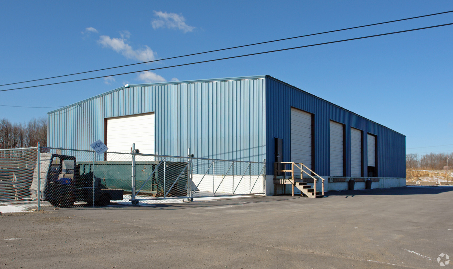
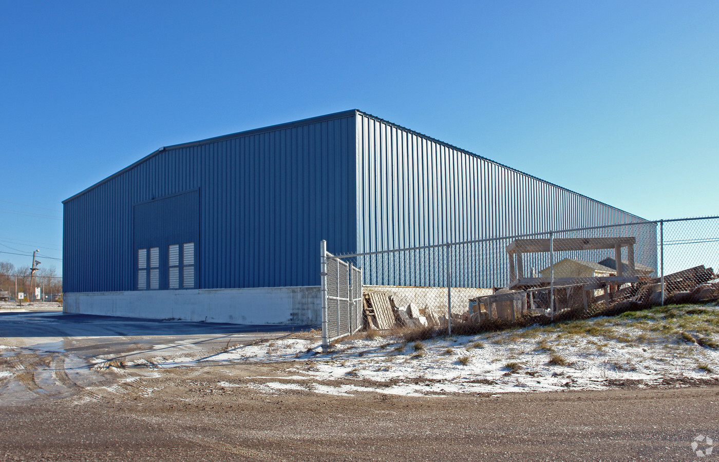
Property Record
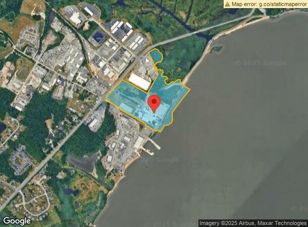
600 Grantham Ln, New Castle, DE 19720
NEARBY LISTINGS FOR SALE OR LEASE
Property Detail
600 Grantham Ln
Philadelphia-Camden-Wilmington, PA-NJ-DE-MD
Printpack Inc
10-036.00-003
New Castle
Lightindustrial
Delaware
AE
2
10003C0164K
34.22 AC
2024
New Castle County
2024
Philadelphia
016200
DEMOGRAPHICS near 600 Grantham Ln
1 Mile
3 Mile
5 Mile
2024 Total Population
1,429
41,284
104,565
2029 Population
1,477
41,832
105,842
Pop Growth 2024-2029
+ 3.36%
+ 1.33%
+ 1.22%
Average Age
43
40
40
2024 Total Households
566
16,463
40,816
HH Growth 2024-2029
+ 3.36%
+ 1.35%
+ 1.24%
Median Household Inc
$82,787
$64,786
$67,147
Avg Household Size
2.50
2.50
2.50
2024 Avg HH Vehicles
2.00
2.00
2.00
Median Home Value
$294,214
$237,177
$223,551
Median Year Built
1971
1974
1975
Nearby Places
- Restaurants
- Banks
- Shops
- Fitness
- Groceries
PUBLIC TRANSPORTATION
COMMUTER RAIL
Churchmans Crossing (R2 - Southeastern Pennsylvania Transportation Authority Regional Rail (SEPTA Regional Rail))
DRIVE
WALK
Distance
Churchmans Crossing (R2 - Southeastern Pennsylvania Transportation Authority Regional Rail (SEPTA Regional Rail))
14 min
7.9 mi
Wilmington (R2 - Southeastern Pennsylvania Transportation Authority Regional Rail (SEPTA Regional Rail))
DRIVE
WALK
Distance
Wilmington (R2 - Southeastern Pennsylvania Transportation Authority Regional Rail (SEPTA Regional Rail))
16 min
8.0 mi
AIRPORT
Philadelphia International
DRIVE
WALK
Distance
Philadelphia International
42 min
28.4 mi
Freight Ports
Port of Wilmington, RI
DRIVE
WALK
Distance
Port of Wilmington, RI
16 min
7.9 mi
Nearby Properties
Address
Land Use
TOTAL SIZE
Lot Size
Zoning
Address
Land Use
TOTAL SIZE
Lot Size
Zoning
163,588 SF
1,232.89 AC
I
Address
Land Use
TOTAL SIZE
Lot Size
Zoning
324,073 SF
78.53 AC
S
Address
Land Use
TOTAL SIZE
Lot Size
Zoning
326,520 SF
125.02 AC
EX
Address
Land Use
TOTAL SIZE
Lot Size
Zoning
197,726 SF
25 AC
I
Address
Land Use
TOTAL SIZE
Lot Size
Zoning
352,104 SF
16.35 AC
BP
Address
Land Use
TOTAL SIZE
Lot Size
Zoning
248,554 SF
18.58 AC
CR
Address
Land Use
TOTAL SIZE
Lot Size
Zoning
281,611 SF
26.39 AC
NCAP
Address
Land Use
TOTAL SIZE
Lot Size
Zoning
268,661 SF
28.38 AC
NCAP
Address
Land Use
TOTAL SIZE
Lot Size
Zoning
295,200 SF
17.94 AC
NCAP
Address
Land Use
TOTAL SIZE
Lot Size
Zoning
421,754 SF
47.58 AC
21I
Address
Land Use
TOTAL SIZE
Lot Size
Zoning
213,565 SF
11.73 AC
21I
Address
Land Use
TOTAL SIZE
Lot Size
Zoning
358,315 SF
6.39 AC
BP
Address
Land Use
TOTAL SIZE
Lot Size
Zoning
388,314 SF
22.06 AC
NCAP
Address
Land Use
TOTAL SIZE
Lot Size
Zoning
96,676 SF
6.17 AC
BP
Address
Land Use
TOTAL SIZE
Lot Size
Zoning
56,319 SF
I
Address
Land Use
TOTAL SIZE
Lot Size
Zoning
341,694 SF
13.66 AC
HI
Address
Land Use
TOTAL SIZE
Lot Size
Zoning
234,000 SF
15.52 AC
21I
Address
Land Use
TOTAL SIZE
Lot Size
Zoning
225,128 SF
9.47 AC
21I
Address
Land Use
TOTAL SIZE
Lot Size
Zoning
83,500 SF
14.21 AC
BP
Address
Land Use
TOTAL SIZE
Lot Size
Zoning
48,657 SF
10 AC
S
Address
Land Use
TOTAL SIZE
Lot Size
Zoning
93,605 SF
16.18 AC
OR
Address
Land Use
TOTAL SIZE
Lot Size
Zoning
233,406 SF
12.01 AC
NCAP
Address
Land Use
TOTAL SIZE
Lot Size
Zoning
73,185 SF
I
Address
Land Use
TOTAL SIZE
Lot Size
Zoning
151,764 SF
7.68 AC
NCAP
Address
Land Use
TOTAL SIZE
Lot Size
Zoning
48,944 SF
8.64 AC
21I
Address
Land Use
TOTAL SIZE
Lot Size
Zoning
228,096 SF
13.77 AC
NCAP
Address
Land Use
TOTAL SIZE
Lot Size
Zoning
9,565 SF
13.30 AC
I
Address
Land Use
TOTAL SIZE
Lot Size
Zoning
83,459 SF
15.05 AC
CR
Address
Land Use
TOTAL SIZE
Lot Size
Zoning
196,758 SF
11.59 AC
21I
The World's #1 Commercial Real Estate Marketplace
Connect with us
© 2025 CoStar Group
The information above has been obtained from sources believed reliable. While we do not doubt its accuracy we have not verified it and make no guarantee, warranty or representation about it. It is your responsibility to independently confirm its accuracy and completeness. Any projections, opinions, assumptions, or estimates used are for example only and do not represent the current or future performance of the property. The value of this transaction to you depends on tax and other factors which should be evaluated by your tax, financial, and legal advisors. You and your advisors should conduct a careful, independent investigation of the property to determine to your satisfaction the suitability of the property for your needs.