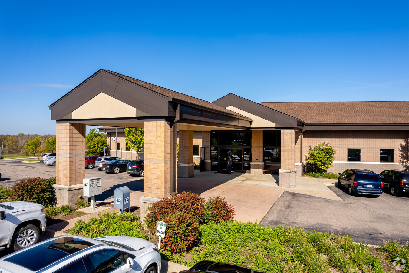
Property Record
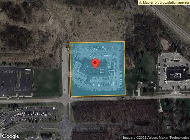
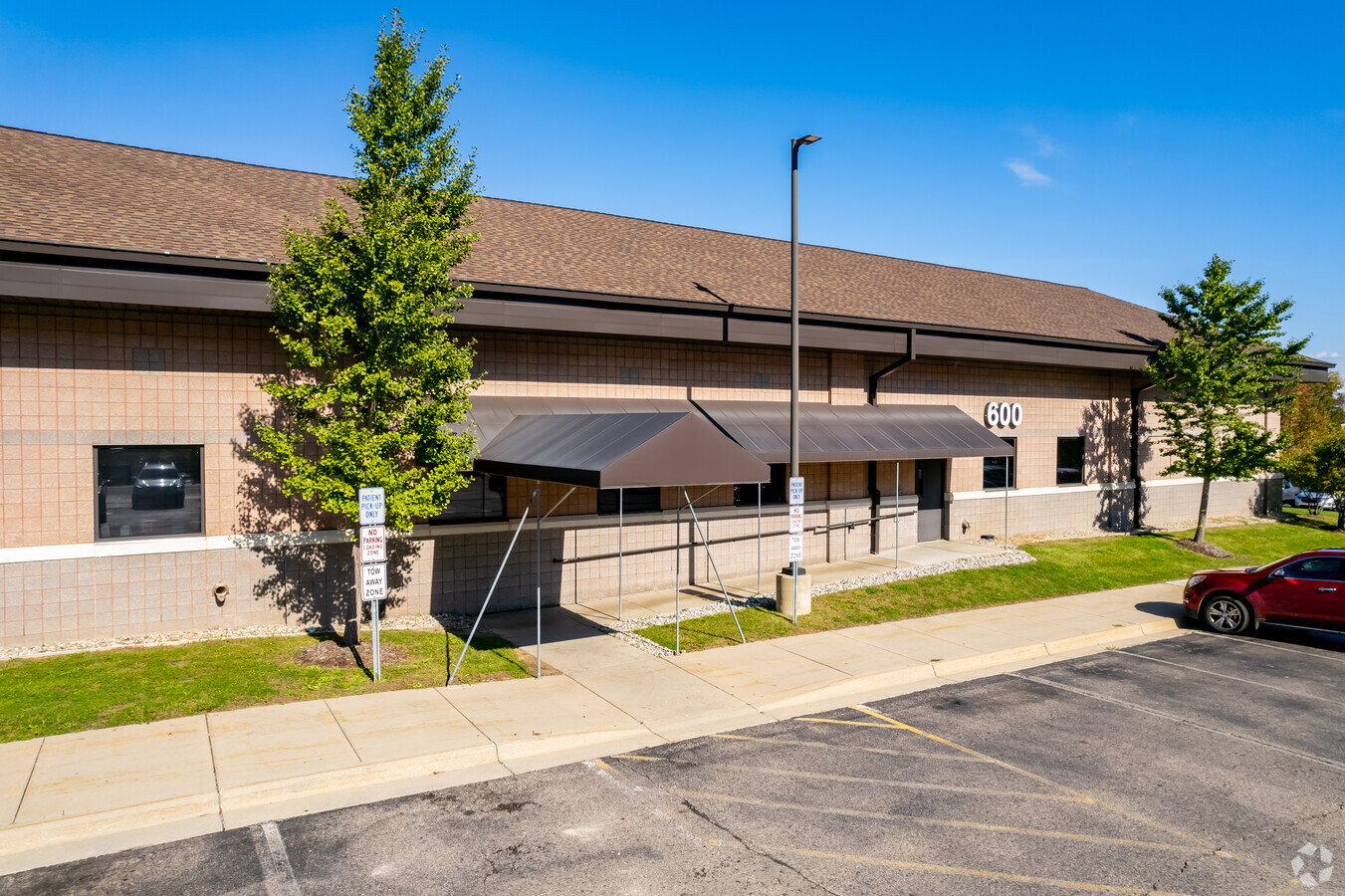
600 Health Park Blvd, Grand Blanc, MI 48439
Current Lease Availabilities
NEARBY LISTINGS FOR SALE OR LEASE
Property Detail
600 Health Park Blvd
12-28-200-032
A PARCEL OF LAND BEG S 87 DEG 45 MIN 40 SEC W 1631.92 FT FROM E 1/4 COR OF SEC TH CONT S 87 DEG 45 MIN 40 SEC W 506.18 FT TH N 1 DEG 53 MIN 05 SEC W 519.21 FT TH ON A CURVE TO LEFT CHORD=N 2 DEG 01 MIN 39 SEC W 2.2 FT TH N 87 DEG 54 MIN 38 SEC E 503.
Commercialnec
Genesee
X
Michigan
26049C0319D
6 AC
2024
Flint
2024
Detroit
011102
Flint, MI
51,625 SF
DEMOGRAPHICS near 600 Health Park Blvd
1 Mile
3 Mile
5 Mile
2024 Total Population
1,788
21,492
54,849
2029 Population
1,738
20,872
53,459
Pop Growth 2024-2029
(2.80%)
(2.88%)
(2.53%)
Average Age
41
42
41
2024 Total Households
627
8,712
22,449
HH Growth 2024-2029
(2.87%)
(3.02%)
(2.60%)
Median Household Inc
$95,564
$84,048
$73,905
Avg Household Size
2.70
2.40
2.40
2024 Avg HH Vehicles
2.00
2.00
2.00
Median Home Value
$261,956
$250,107
$229,727
Median Year Built
1994
1990
1981
Nearby Places
- Restaurants
- Banks
- Shops
- Fitness
- Groceries
PUBLIC TRANSPORTATION
COMMUTER RAIL
Flint Amtrak Station (Blue Water - Amtrak)
DRIVE
WALK
Distance
Flint Amtrak Station (Blue Water - Amtrak)
17 min
9.4 mi
AIRPORT
Bishop International
DRIVE
WALK
Distance
Bishop International
25 min
11.0 mi
Freight Ports
Port of Toledo
DRIVE
WALK
Distance
Port of Toledo
130 min
102.1 mi
Nearby Properties
Address
Land Use
TOTAL SIZE
Lot Size
Zoning
Address
Land Use
TOTAL SIZE
Lot Size
Zoning
331,630 SF
63.88 AC
MDM
Address
Land Use
TOTAL SIZE
Lot Size
Zoning
55,378 SF
23 AC
PO
Address
Land Use
TOTAL SIZE
Lot Size
Zoning
248,816 SF
20.22 AC
HCD
Address
Land Use
TOTAL SIZE
Lot Size
Zoning
231,778 SF
I-1
Address
Land Use
TOTAL SIZE
Lot Size
Zoning
86,286 SF
71.83 AC
HCD
Address
Land Use
TOTAL SIZE
Lot Size
Zoning
76,648 SF
49.93 AC
R2
Address
Land Use
TOTAL SIZE
Lot Size
Zoning
141,748 SF
8.80 AC
MDM
Address
Land Use
TOTAL SIZE
Lot Size
Zoning
173,074 SF
10 AC
MDM
Address
Land Use
TOTAL SIZE
Lot Size
Zoning
22.13 AC
MDM
Address
Land Use
TOTAL SIZE
Lot Size
Zoning
612,305 SF
116.49 AC
I-2
Address
Land Use
TOTAL SIZE
Lot Size
Zoning
674,049 SF
24.02 AC
I-2
Address
Land Use
TOTAL SIZE
Lot Size
Zoning
125,825 SF
13.01 AC
B-2
Address
Land Use
TOTAL SIZE
Lot Size
Zoning
64,897 SF
1.86 AC
GC
Address
Land Use
TOTAL SIZE
Lot Size
Zoning
41,010 SF
37.06 AC
RD
Address
Land Use
TOTAL SIZE
Lot Size
Zoning
199,920 SF
20.47 AC
Address
Land Use
TOTAL SIZE
Lot Size
Zoning
88,701 SF
10.27 AC
GC
Address
Land Use
TOTAL SIZE
Lot Size
Zoning
210.33 AC
MHP
Address
Land Use
TOTAL SIZE
Lot Size
Zoning
60,814 SF
8.19 AC
MDM
Address
Land Use
TOTAL SIZE
Lot Size
Zoning
36,638 SF
10.01 AC
GC
Address
Land Use
TOTAL SIZE
Lot Size
Zoning
48,275 SF
8.69 AC
OS
Address
Land Use
TOTAL SIZE
Lot Size
Zoning
237,730 SF
17.67 AC
I-1
Address
Land Use
TOTAL SIZE
Lot Size
Zoning
41,853 SF
4.54 AC
OS
Address
Land Use
TOTAL SIZE
Lot Size
Zoning
27,866 SF
3.90 AC
GC
Address
Land Use
TOTAL SIZE
Lot Size
Zoning
22,026 SF
2.59 AC
Address
Land Use
TOTAL SIZE
Lot Size
Zoning
38,393 SF
5.61 AC
GC
Address
Land Use
TOTAL SIZE
Lot Size
Zoning
42,672 SF
I-1
Address
Land Use
TOTAL SIZE
Lot Size
Zoning
80,109 SF
7.25 AC
R-T
Address
Land Use
TOTAL SIZE
Lot Size
Zoning
107,184 SF
4.67 AC
HDMF
Address
Land Use
TOTAL SIZE
Lot Size
Zoning
32,019 SF
2.61 AC
HCD
The World's #1 Commercial Real Estate Marketplace
Connect with us
© 2025 CoStar Group
The information above has been obtained from sources believed reliable. While we do not doubt its accuracy we have not verified it and make no guarantee, warranty or representation about it. It is your responsibility to independently confirm its accuracy and completeness. Any projections, opinions, assumptions, or estimates used are for example only and do not represent the current or future performance of the property. The value of this transaction to you depends on tax and other factors which should be evaluated by your tax, financial, and legal advisors. You and your advisors should conduct a careful, independent investigation of the property to determine to your satisfaction the suitability of the property for your needs.