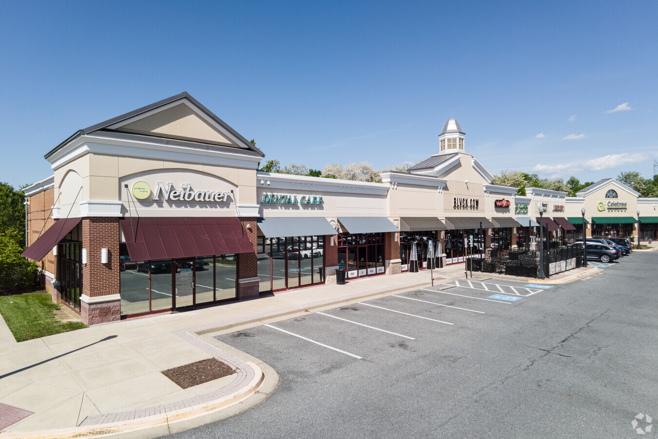
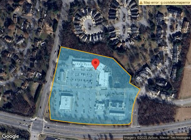
Property Record
6001 High Bridge Rd, Bowie, MD 20720
NEARBY LISTINGS FOR SALE OR LEASE
-
-
View all Bowie listings for lease on LoopNet.com
Property Detail
6001 High Bridge Rd
14-3716024
Plat Eighteen Highbridge
Regionalshoppingcenterormallwithanchorstore
LAND UNIT C
X
Prince George's
24033C0160E
Maryland
2024
9.33 AC
2024
Bowie
800409
Washington, DC
42,120 SF
Washington-Arlington-Alexandria, DC-VA-MD-WV
DEMOGRAPHICS near 6001 High Bridge Rd
1 Mile
3 Mile
5 Mile
2024 Total Population
6,821
62,138
139,324
2029 Population
6,614
60,521
136,574
Pop Growth 2024-2029
(3.03%)
(2.60%)
(1.97%)
Average Age
42
42
42
2024 Total Households
2,193
20,302
46,290
HH Growth 2024-2029
(3.19%)
(2.75%)
(1.96%)
Median Household Inc
$143,429
$139,106
$126,768
Avg Household Size
3.00
2.90
2.90
2024 Avg HH Vehicles
2.00
2.00
2.00
Median Home Value
$473,842
$439,277
$433,402
Median Year Built
1992
1983
1985
Nearby Places
- Restaurants
- Banks
- Shops
- Fitness
- Groceries
PUBLIC TRANSPORTATION
COMMUTER RAIL
Bowie State Marc Nb (PENN - WASHINGTON - Maryland Transit Administration)
DRIVE
WALK
Distance
Bowie State Marc Nb (PENN - WASHINGTON - Maryland Transit Administration)
9 min
4.2 mi
Seabrook (Penn Line - Maryland Area Regional Commuter Trains (The MARC))
DRIVE
WALK
Distance
Seabrook (Penn Line - Maryland Area Regional Commuter Trains (The MARC))
10 min
5.5 mi
AIRPORT
Ronald Reagan Washington Ntl
DRIVE
WALK
Distance
Ronald Reagan Washington Ntl
33 min
20.9 mi
Baltimore/Washington International Thurgood Marshall
DRIVE
WALK
Distance
Baltimore/Washington International Thurgood Marshall
37 min
23.1 mi
Freight Ports
Port of Baltimore
DRIVE
WALK
Distance
Port of Baltimore
44 min
28.7 mi
SALE & LEASE HISTORY
LISTING DATE
SALE/LEASE

Sep 25, 2016
For Lease
Nearby Properties
Address
Land Use
TOTAL SIZE
Lot Size
Zoning
Address
Land Use
TOTAL SIZE
Lot Size
Zoning
7.15 AC
RE
Address
Land Use
TOTAL SIZE
Lot Size
Zoning
283,176 SF
30.51 AC
TACE
Address
Land Use
TOTAL SIZE
Lot Size
Zoning
286 SF
13.08 AC
RMF20
Address
Land Use
TOTAL SIZE
Lot Size
Zoning
104,397 SF
27.71 AC
AG
Address
Land Use
TOTAL SIZE
Lot Size
Zoning
80,321 SF
11.78 AC
CGO
Address
Land Use
TOTAL SIZE
Lot Size
Zoning
287,439 SF
19.97 AC
CGO
Address
Land Use
TOTAL SIZE
Lot Size
Zoning
1,296 SF
10.78 AC
RMF20
Address
Land Use
TOTAL SIZE
Lot Size
Zoning
170,641 SF
4.30 AC
IE
Address
Land Use
TOTAL SIZE
Lot Size
Zoning
101,475 SF
5.59 AC
CGO
Address
Land Use
TOTAL SIZE
Lot Size
Zoning
111,684 SF
10.93 AC
CGO
Address
Land Use
TOTAL SIZE
Lot Size
Zoning
102,545 SF
10.79 AC
CGO
Address
Land Use
TOTAL SIZE
Lot Size
Zoning
47,132 SF
3.53 AC
LMXC
Address
Land Use
TOTAL SIZE
Lot Size
Zoning
124,984 SF
10.30 AC
TACE
Address
Land Use
TOTAL SIZE
Lot Size
Zoning
159,876 SF
13.62 AC
TACE
Address
Land Use
TOTAL SIZE
Lot Size
Zoning
65,928 SF
6.61 AC
TACE
Address
Land Use
TOTAL SIZE
Lot Size
Zoning
129,800 SF
3.13 AC
LCD
Address
Land Use
TOTAL SIZE
Lot Size
Zoning
115,512 SF
12.82 AC
LMXC
Address
Land Use
TOTAL SIZE
Lot Size
Zoning
60,600 SF
6 AC
RR
Address
Land Use
TOTAL SIZE
Lot Size
Zoning
20.04 AC
ROS
Address
Land Use
TOTAL SIZE
Lot Size
Zoning
50,000 SF
2.76 AC
RR
Address
Land Use
TOTAL SIZE
Lot Size
Zoning
315,825 SF
24.80 AC
IE
Address
Land Use
TOTAL SIZE
Lot Size
Zoning
24,864 SF
29.51 AC
RSF95
Address
Land Use
TOTAL SIZE
Lot Size
Zoning
32.28 AC
AG
Address
Land Use
TOTAL SIZE
Lot Size
Zoning
106,130 SF
4.80 AC
LCD
Address
Land Use
TOTAL SIZE
Lot Size
Zoning
85,848 SF
2.65 AC
CGO
Address
Land Use
TOTAL SIZE
Lot Size
Zoning
66,398 SF
2.91 AC
CS
Address
Land Use
TOTAL SIZE
Lot Size
Zoning
78,063 SF
4.32 AC
LCD
Address
Land Use
TOTAL SIZE
Lot Size
Zoning
62,444 SF
18.50 AC
AG
Address
Land Use
TOTAL SIZE
Lot Size
Zoning
46,896 SF
3.16 AC
CGO
The World's #1 Commercial Real Estate Marketplace
Connect with us
© 2025 CoStar Group
The information above has been obtained from sources believed reliable. While we do not doubt its accuracy we have not verified it and make no guarantee, warranty or representation about it. It is your responsibility to independently confirm its accuracy and completeness. Any projections, opinions, assumptions, or estimates used are for example only and do not represent the current or future performance of the property. The value of this transaction to you depends on tax and other factors which should be evaluated by your tax, financial, and legal advisors. You and your advisors should conduct a careful, independent investigation of the property to determine to your satisfaction the suitability of the property for your needs.