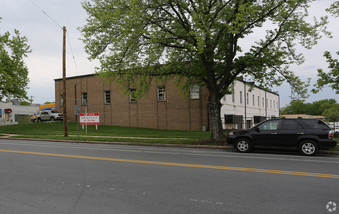
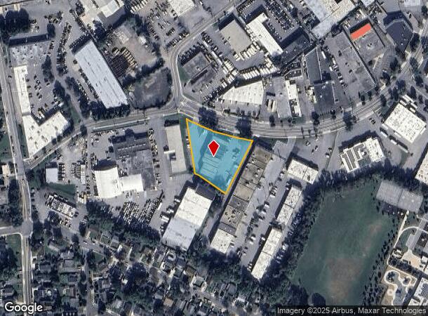
Property Record
601 Lofstrand Ln, Rockville, MD 20850
NEARBY LISTINGS FOR SALE OR LEASE
Property Detail
601 Lofstrand Ln
Washington-Arlington-Alexandria, DC-VA-MD-WV
Rockville Town
04-00149047
SOUTHLAWN OFFICE & I NDUSTRIAL CTR
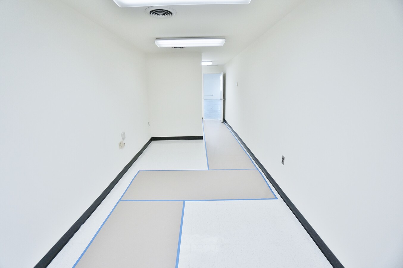
Scientificpharmaceuticalmedicalresearchfacility
Montgomery
X
Maryland
51059C0075E
1
2024
1.17 AC
2024
Rockville
700903
Washington, DC
24,000 SF
DEMOGRAPHICS near 601 Lofstrand Ln
1 Mile
3 Mile
5 Mile
2024 Total Population
11,724
101,860
328,658
2029 Population
11,691
100,819
325,259
Pop Growth 2024-2029
(0.28%)
(1.02%)
(1.03%)
Average Age
41
41
41
2024 Total Households
4,988
39,394
122,407
HH Growth 2024-2029
(0.04%)
(1.08%)
(1.05%)
Median Household Inc
$91,102
$114,888
$110,600
Avg Household Size
2.20
2.50
2.60
2024 Avg HH Vehicles
1.00
2.00
2.00
Median Home Value
$439,720
$623,095
$560,509
Median Year Built
1982
1978
1980
Nearby Places
- Restaurants
- Banks
- Shops
- Fitness
- Groceries
PUBLIC TRANSPORTATION
TRANSIT/SUBWAY
Rockville (Red Line - Washington Metropolitan Area Transit Authority Metrorail (Metrorail))
DRIVE
WALK
Distance
Rockville (Red Line - Washington Metropolitan Area Transit Authority Metrorail (Metrorail))
5 min
19 min
1.0 mi
COMMUTER RAIL
Rockville (Brunswick Line - Maryland Area Regional Commuter Trains (The MARC))
DRIVE
WALK
Distance
Rockville (Brunswick Line - Maryland Area Regional Commuter Trains (The MARC))
3 min
17 min
0.9 mi
Washington Grove (Brunswick Line - Maryland Area Regional Commuter Trains (The MARC))
DRIVE
WALK
Distance
Washington Grove (Brunswick Line - Maryland Area Regional Commuter Trains (The MARC))
11 min
4.6 mi
AIRPORT
Ronald Reagan Washington National
DRIVE
WALK
Distance
Ronald Reagan Washington National
38 min
24.9 mi
Washington Dulles International
DRIVE
WALK
Distance
Washington Dulles International
37 min
28.0 mi
Baltimore-Washington International
DRIVE
WALK
Distance
Baltimore-Washington International
42 min
34.3 mi
Freight Ports
Port of Baltimore
DRIVE
WALK
Distance
Port of Baltimore
1 min
31.4 mi
SALE & LEASE HISTORY
LISTING DATE
SALE/LEASE

Sep 24, 2016
For Lease
Sep 24, 2016
For Lease
Feb 12, 2021
For Lease
Nearby Properties
Address
Land Use
TOTAL SIZE
Lot Size
Zoning
Address
Land Use
TOTAL SIZE
Lot Size
Zoning
987,382 SF
5 AC
MXTD
Address
Land Use
TOTAL SIZE
Lot Size
Zoning
1,332,482 SF
3.79 AC
CR2.0
Address
Land Use
TOTAL SIZE
Lot Size
Zoning
1,136,684 SF
84.61 AC
R200
Address
Land Use
TOTAL SIZE
Lot Size
Zoning
515,000 SF
5.23 AC
CR1.5
Address
Land Use
TOTAL SIZE
Lot Size
Zoning
393,977 SF
17.88 AC
MXCD
Address
Land Use
TOTAL SIZE
Lot Size
Zoning
815,414 SF
3.27 AC
CR4.0
Address
Land Use
TOTAL SIZE
Lot Size
Zoning
414,000 SF
7.28 AC
MXCD
Address
Land Use
TOTAL SIZE
Lot Size
Zoning
978,527 SF
11.54 AC
03
Address
Land Use
TOTAL SIZE
Lot Size
Zoning
223,520 SF
2.77 AC
CR2.0
Address
Land Use
TOTAL SIZE
Lot Size
Zoning
185,000 SF
2.60 AC
EOF
Address
Land Use
TOTAL SIZE
Lot Size
Zoning
353,867 SF
11 AC
RS
Address
Land Use
TOTAL SIZE
Lot Size
Zoning
407,130 SF
4.62 AC
CRT1.
Address
Land Use
TOTAL SIZE
Lot Size
Zoning
330,650 SF
2.89 AC
MXTD
Address
Land Use
TOTAL SIZE
Lot Size
Zoning
363,000 SF
4.37 AC
MXTD
Address
Land Use
TOTAL SIZE
Lot Size
Zoning
172,740 SF
6.93 AC
PD-RC
Address
Land Use
TOTAL SIZE
Lot Size
Zoning
325,990 SF
55.98 AC
CRT07
Address
Land Use
TOTAL SIZE
Lot Size
Zoning
215,558 SF
13.74 AC
RS
Address
Land Use
TOTAL SIZE
Lot Size
Zoning
311,500 SF
29.05 AC
R60
Address
Land Use
TOTAL SIZE
Lot Size
Zoning
243,000 SF
2.10 AC
PD-KS
Address
Land Use
TOTAL SIZE
Lot Size
Zoning
405,742 SF
14.48 AC
R30
Address
Land Use
TOTAL SIZE
Lot Size
Zoning
316,883 SF
8.62 AC
OCPD
Address
Land Use
TOTAL SIZE
Lot Size
Zoning
152,330 SF
CR
Address
Land Use
TOTAL SIZE
Lot Size
Zoning
289,485 SF
9.82 AC
RS
Address
Land Use
TOTAL SIZE
Lot Size
Zoning
19.50 AC
MXCD
Address
Land Use
TOTAL SIZE
Lot Size
Zoning
450,248 SF
26.80 AC
R200
Address
Land Use
TOTAL SIZE
Lot Size
Zoning
658,721 SF
4.90 AC
PD-UR
Address
Land Use
TOTAL SIZE
Lot Size
Zoning
192,356 SF
5.46 AC
MXE
Address
Land Use
TOTAL SIZE
Lot Size
Zoning
230,460 SF
6.36 AC
03
Address
Land Use
TOTAL SIZE
Lot Size
Zoning
230,460 SF
6.38 AC
03
Address
Land Use
TOTAL SIZE
Lot Size
Zoning
167,000 SF
0.57 AC
MXNC
The World's #1 Commercial Real Estate Marketplace
Connect with us
© 2025 CoStar Group
The information above has been obtained from sources believed reliable. While we do not doubt its accuracy we have not verified it and make no guarantee, warranty or representation about it. It is your responsibility to independently confirm its accuracy and completeness. Any projections, opinions, assumptions, or estimates used are for example only and do not represent the current or future performance of the property. The value of this transaction to you depends on tax and other factors which should be evaluated by your tax, financial, and legal advisors. You and your advisors should conduct a careful, independent investigation of the property to determine to your satisfaction the suitability of the property for your needs.