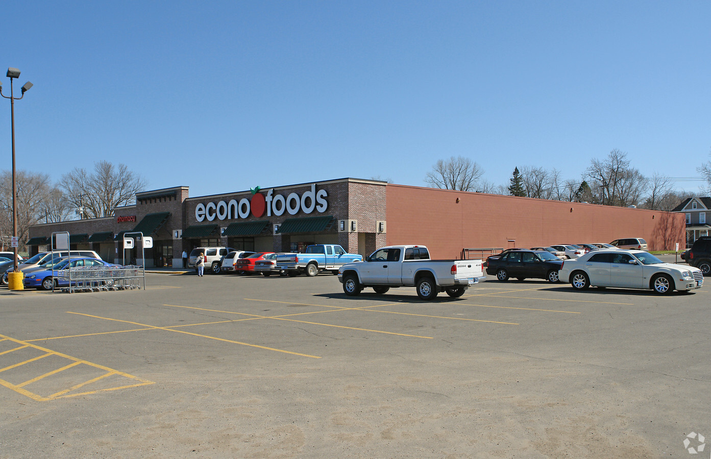
Property Record
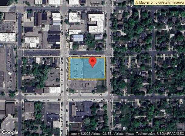
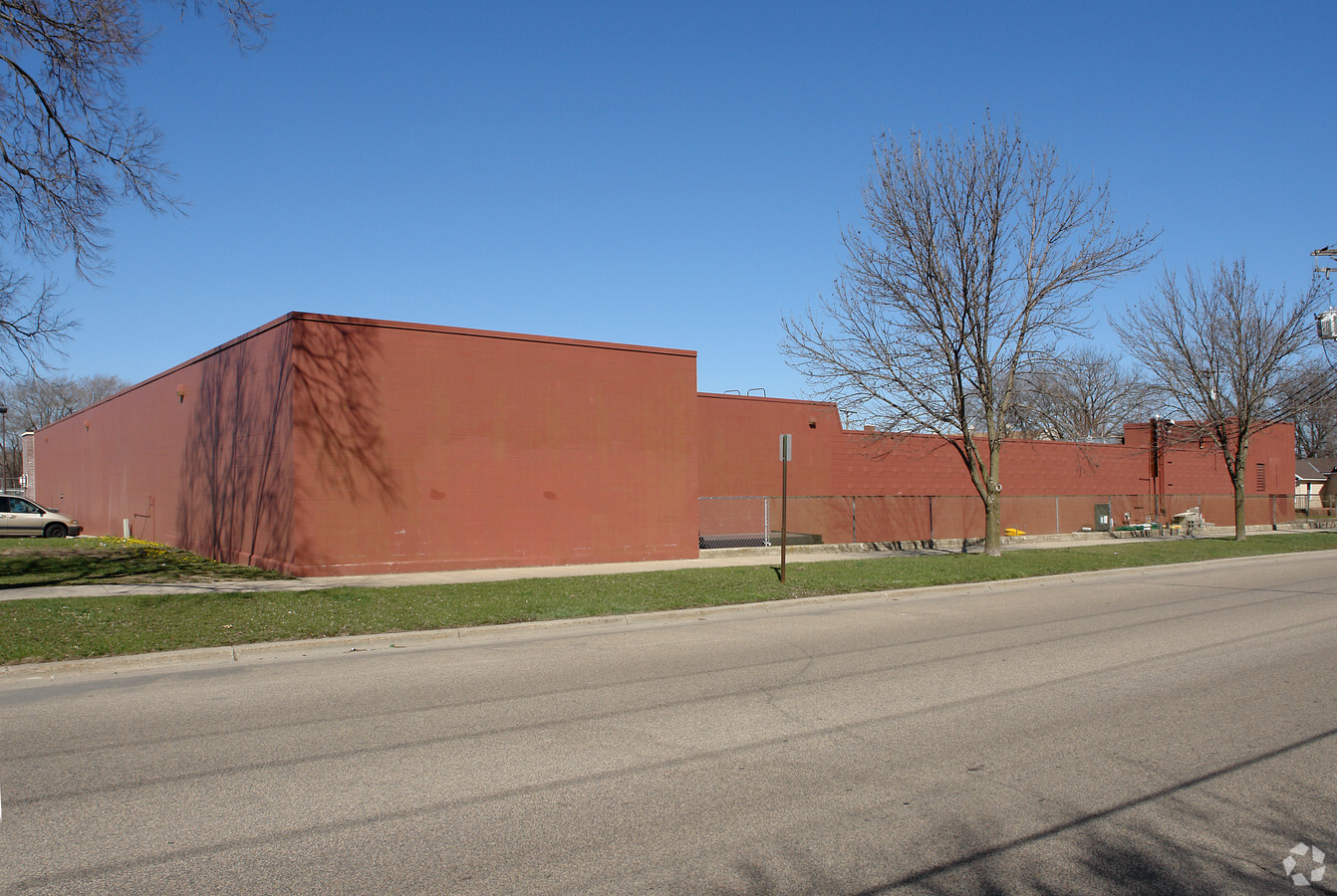
601 Division St S, Northfield, MN 55057
NEARBY LISTINGS FOR SALE OR LEASE
-
-
View all Northfield listings for sale on LoopNet.com
Property Detail
601 Division St S
Faribault-Northfield, MN
Northfield Orig Town
22.06.2.25.108
LOT 3 BLOCK 59 OF NORTHFIELD ORIG TOWN ORIG TOWN L3-4-5-6-7 & L8 B59
Supermarket
Rice
X
Minnesota
27131C0158D
3
2024
1.50 AC
2024
Minnesota South Area
070501
Other Market Areas
20,706 SF
DEMOGRAPHICS near 601 Division St S
1 Mile
3 Mile
5 Mile
2024 Total Population
11,603
23,892
25,504
2029 Population
11,698
24,175
25,799
Pop Growth 2024-2029
+ 0.82%
+ 1.18%
+ 1.16%
Average Age
35
38
38
2024 Total Households
3,211
7,788
8,367
HH Growth 2024-2029
+ 0.84%
+ 1.35%
+ 1.33%
Median Household Inc
$72,504
$75,393
$78,146
Avg Household Size
2.30
2.40
2.40
2024 Avg HH Vehicles
2.00
2.00
2.00
Median Home Value
$268,372
$290,730
$298,087
Median Year Built
1964
1982
1983
Nearby Places
- Restaurants
- Banks
- Shops
- Fitness
- Groceries
PUBLIC TRANSPORTATION
AIRPORT
Minneapolis-St Paul International/Wold-Chamberlain
DRIVE
WALK
Distance
Minneapolis-St Paul International/Wold-Chamberlain
50 min
39.6 mi
Freight Ports
Port Milwaukee
DRIVE
WALK
Distance
Port Milwaukee
373 min
330.7 mi
Nearby Properties
Address
Land Use
TOTAL SIZE
Lot Size
Zoning
Address
Land Use
TOTAL SIZE
Lot Size
Zoning
15,356 SF
3.05 AC
Address
Land Use
TOTAL SIZE
Lot Size
Zoning
66,106 SF
14.60 AC
Address
Land Use
TOTAL SIZE
Lot Size
Zoning
7,561 SF
1.86 AC
Address
Land Use
TOTAL SIZE
Lot Size
Zoning
79,085 SF
61.10 AC
Address
Land Use
TOTAL SIZE
Lot Size
Zoning
15,169 SF
8.60 AC
Address
Land Use
TOTAL SIZE
Lot Size
Zoning
180,663 SF
36 AC
Address
Land Use
TOTAL SIZE
Lot Size
Zoning
3,499 SF
13.50 AC
Address
Land Use
TOTAL SIZE
Lot Size
Zoning
3,080 SF
41.80 AC
Address
Land Use
TOTAL SIZE
Lot Size
Zoning
31,200 SF
15.50 AC
Address
Land Use
TOTAL SIZE
Lot Size
Zoning
19,129 SF
0.75 AC
Address
Land Use
TOTAL SIZE
Lot Size
Zoning
25,105 SF
6.70 AC
Address
Land Use
TOTAL SIZE
Lot Size
Zoning
2,772 SF
3.20 AC
Address
Land Use
TOTAL SIZE
Lot Size
Zoning
11,856 SF
10.80 AC
Address
Land Use
TOTAL SIZE
Lot Size
Zoning
12,617 SF
2 AC
Address
Land Use
TOTAL SIZE
Lot Size
Zoning
161,640 SF
15.13 AC
Address
Land Use
TOTAL SIZE
Lot Size
Zoning
95,400 SF
15.20 AC
Address
Land Use
TOTAL SIZE
Lot Size
Zoning
6,000 SF
3.11 AC
Address
Land Use
TOTAL SIZE
Lot Size
Zoning
9,642 SF
5.30 AC
Address
Land Use
TOTAL SIZE
Lot Size
Zoning
58,080 SF
16.90 AC
Address
Land Use
TOTAL SIZE
Lot Size
Zoning
9,065 SF
5.10 AC
Address
Land Use
TOTAL SIZE
Lot Size
Zoning
5,190 SF
1.30 AC
Address
Land Use
TOTAL SIZE
Lot Size
Zoning
126,240 SF
12.18 AC
Address
Land Use
TOTAL SIZE
Lot Size
Zoning
49,970 SF
9.84 AC
Address
Land Use
TOTAL SIZE
Lot Size
Zoning
1,788 SF
4.80 AC
Address
Land Use
TOTAL SIZE
Lot Size
Zoning
12,333 SF
1.27 AC
Address
Land Use
TOTAL SIZE
Lot Size
Zoning
12,593 SF
2.21 AC
Address
Land Use
TOTAL SIZE
Lot Size
Zoning
46,448 SF
6.50 AC
Address
Land Use
TOTAL SIZE
Lot Size
Zoning
16,991 SF
2.06 AC
Address
Land Use
TOTAL SIZE
Lot Size
Zoning
23,579 SF
3.80 AC
Address
Land Use
TOTAL SIZE
Lot Size
Zoning
9,600 SF
24.60 AC
The World's #1 Commercial Real Estate Marketplace
Connect with us
© 2025 CoStar Group
The information above has been obtained from sources believed reliable. While we do not doubt its accuracy we have not verified it and make no guarantee, warranty or representation about it. It is your responsibility to independently confirm its accuracy and completeness. Any projections, opinions, assumptions, or estimates used are for example only and do not represent the current or future performance of the property. The value of this transaction to you depends on tax and other factors which should be evaluated by your tax, financial, and legal advisors. You and your advisors should conduct a careful, independent investigation of the property to determine to your satisfaction the suitability of the property for your needs.