Property Record
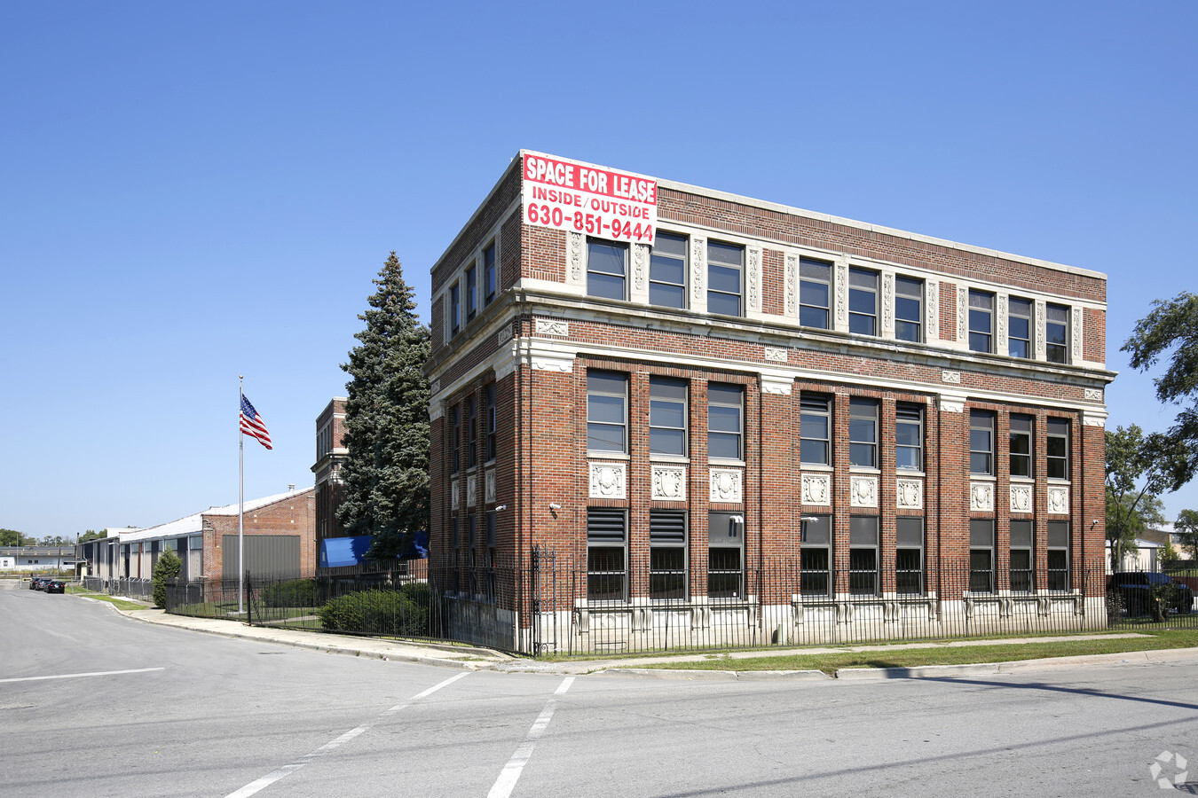
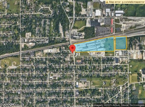
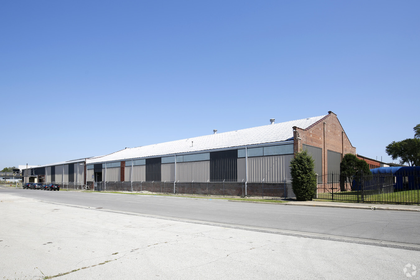
601 N Farnsworth Ave, Aurora, IL 60505
NEARBY LISTINGS FOR SALE OR LEASE
Property Detail
601 N Farnsworth Ave
15-13-376-001
Industrial-Central Core
Industrialgeneral
PART SW 1/4 SEC 13-38-8 LOT DIMENSIONS: 35.03 ACRES APPROX LOT SQ FT 1525907 SUBDIVISION: INDUSTRIAL - CENTRAL CORE RANGE CODE: 001
AE
Kane
17043C0119J
Illinois
2023
35.03 AC
2023
I-88 West
853500
Chicago
547,779 SF
Chicago-Naperville-Elgin, IL-IN-WI
DEMOGRAPHICS near 601 N Farnsworth Ave
1 Mile
3 Mile
5 Mile
2024 Total Population
13,248
112,836
254,525
2029 Population
13,093
111,832
255,185
Pop Growth 2024-2029
(1.17%)
(0.89%)
+ 0.26%
Average Age
36
36
37
2024 Total Households
3,916
36,881
87,705
HH Growth 2024-2029
(1.15%)
(0.88%)
+ 0.25%
Median Household Inc
$69,961
$74,113
$85,624
Avg Household Size
3.30
2.90
2.80
2024 Avg HH Vehicles
2.00
2.00
2.00
Median Home Value
$163,399
$209,068
$245,398
Median Year Built
1959
1977
1988
Nearby Places
- Restaurants
- Banks
- Shops
- Fitness
- Groceries
PUBLIC TRANSPORTATION
COMMUTER RAIL
Aurora Station (Burlington Northern-Santa Fe Railway Line - Northeast Illinois Regional Commuter Railroad (Metra))
DRIVE
WALK
Distance
Aurora Station (Burlington Northern-Santa Fe Railway Line - Northeast Illinois Regional Commuter Railroad (Metra))
6 min
2.8 mi
Route 59 Station (Burlington Northern-Santa Fe Railway Line - Northeast Illinois Regional Commuter Railroad (Metra))
DRIVE
WALK
Distance
Route 59 Station (Burlington Northern-Santa Fe Railway Line - Northeast Illinois Regional Commuter Railroad (Metra))
11 min
5.0 mi
AIRPORT
Chicago Midway International
DRIVE
WALK
Distance
Chicago Midway International
51 min
34.4 mi
Chicago O'Hare International
DRIVE
WALK
Distance
Chicago O'Hare International
50 min
35.2 mi
Freight Ports
Port Milwaukee
DRIVE
WALK
Distance
Port Milwaukee
132 min
107.0 mi
Nearby Properties
Address
Land Use
TOTAL SIZE
Lot Size
Zoning
Address
Land Use
TOTAL SIZE
Lot Size
Zoning
41.29 AC
Address
Land Use
TOTAL SIZE
Lot Size
Zoning
27.18 AC
Address
Land Use
TOTAL SIZE
Lot Size
Zoning
28.52 AC
R
Address
Land Use
TOTAL SIZE
Lot Size
Zoning
10.62 AC
Address
Land Use
TOTAL SIZE
Lot Size
Zoning
683,677 SF
25.63 AC
Address
Land Use
TOTAL SIZE
Lot Size
Zoning
283,844 SF
16.06 AC
M
Address
Land Use
TOTAL SIZE
Lot Size
Zoning
11.02 AC
M
Address
Land Use
TOTAL SIZE
Lot Size
Zoning
692,020 SF
33.90 AC
Address
Land Use
TOTAL SIZE
Lot Size
Zoning
286,400 SF
9.50 AC
Address
Land Use
TOTAL SIZE
Lot Size
Zoning
9.83 AC
C
Address
Land Use
TOTAL SIZE
Lot Size
Zoning
173,303 SF
19.53 AC
Address
Land Use
TOTAL SIZE
Lot Size
Zoning
Address
Land Use
TOTAL SIZE
Lot Size
Zoning
581,960 SF
17.63 AC
Address
Land Use
TOTAL SIZE
Lot Size
Zoning
607,706 SF
16.55 AC
Address
Land Use
TOTAL SIZE
Lot Size
Zoning
521,922 SF
19.87 AC
Address
Land Use
TOTAL SIZE
Lot Size
Zoning
404,013 SF
22.25 AC
Address
Land Use
TOTAL SIZE
Lot Size
Zoning
363,500 SF
19.89 AC
Address
Land Use
TOTAL SIZE
Lot Size
Zoning
Address
Land Use
TOTAL SIZE
Lot Size
Zoning
25.07 AC
Address
Land Use
TOTAL SIZE
Lot Size
Zoning
244,494 SF
16.08 AC
Address
Land Use
TOTAL SIZE
Lot Size
Zoning
11.79 AC
Address
Land Use
TOTAL SIZE
Lot Size
Zoning
116,604 SF
8.50 AC
O
Address
Land Use
TOTAL SIZE
Lot Size
Zoning
320,874 SF
1.49 AC
Address
Land Use
TOTAL SIZE
Lot Size
Zoning
307,443 SF
22.99 AC
I
Address
Land Use
TOTAL SIZE
Lot Size
Zoning
6.31 AC
M
Address
Land Use
TOTAL SIZE
Lot Size
Zoning
383,948 SF
17.92 AC
Address
Land Use
TOTAL SIZE
Lot Size
Zoning
17.42 AC
Address
Land Use
TOTAL SIZE
Lot Size
Zoning
100,340 SF
1.80 AC
Address
Land Use
TOTAL SIZE
Lot Size
Zoning
317,815 SF
21.29 AC
Address
Land Use
TOTAL SIZE
Lot Size
Zoning
12.80 AC
The World's #1 Commercial Real Estate Marketplace
Connect with us
© 2025 CoStar Group
The information above has been obtained from sources believed reliable. While we do not doubt its accuracy we have not verified it and make no guarantee, warranty or representation about it. It is your responsibility to independently confirm its accuracy and completeness. Any projections, opinions, assumptions, or estimates used are for example only and do not represent the current or future performance of the property. The value of this transaction to you depends on tax and other factors which should be evaluated by your tax, financial, and legal advisors. You and your advisors should conduct a careful, independent investigation of the property to determine to your satisfaction the suitability of the property for your needs.