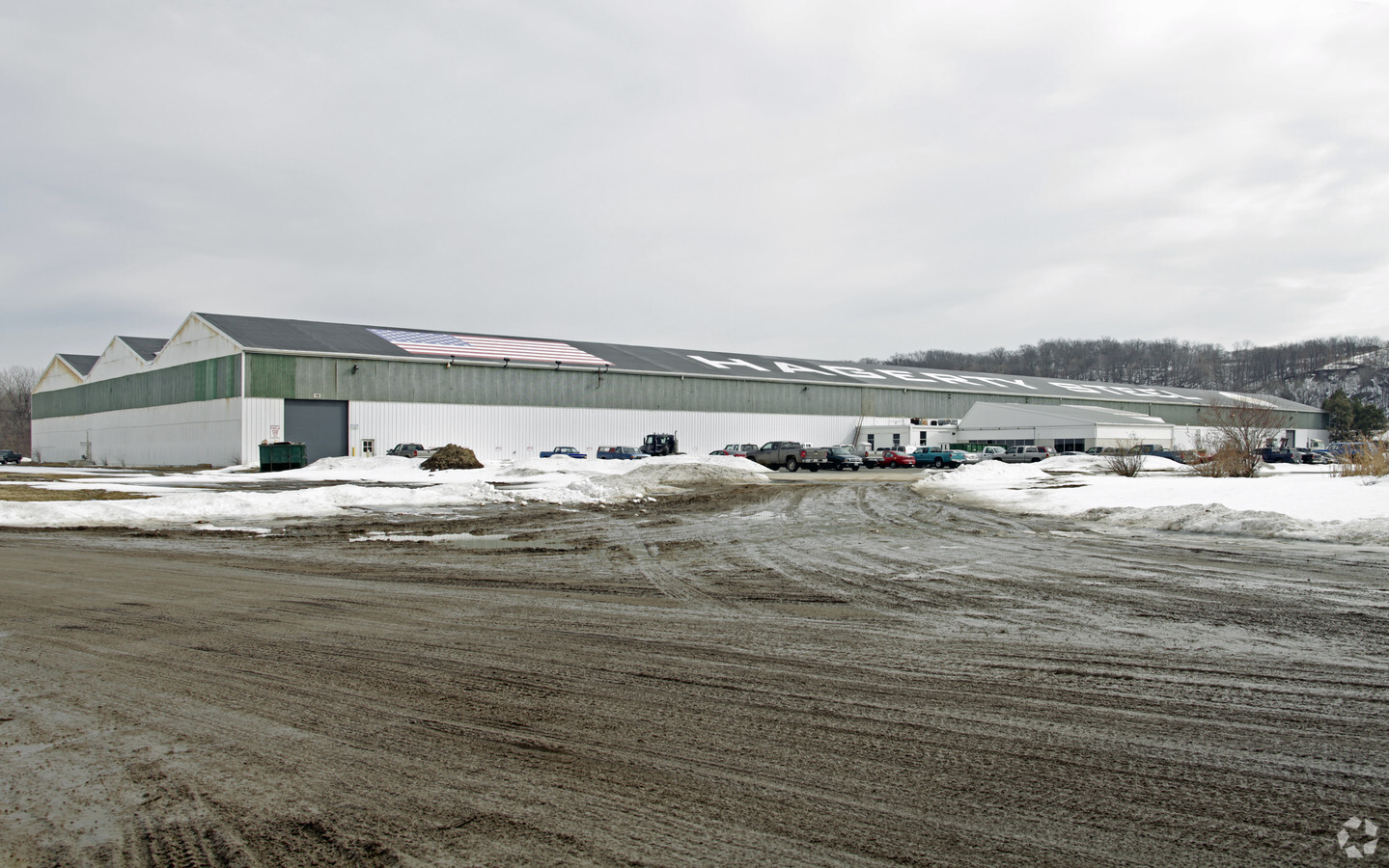
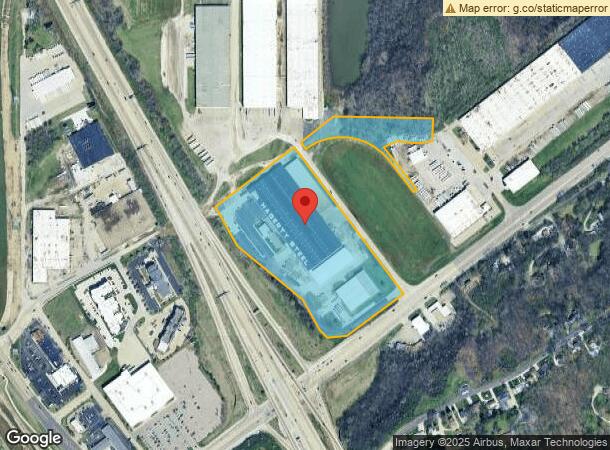
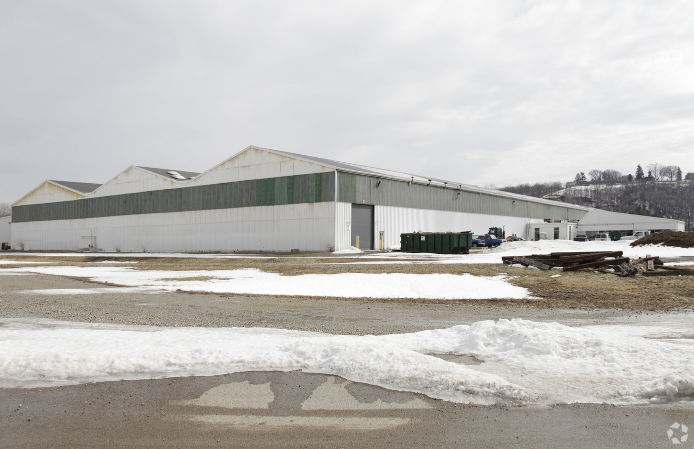
Property Record
601 N Main St, East Peoria, IL 61611
NEARBY LISTINGS FOR SALE OR LEASE
Property Detail
601 N Main St
01-01-33-101-001
SEC 33 T26N R4W PARCEL IN N 1/2 OF E 1/2 OF (EXC .04 ACRE ROW) NW 1/4 16.04 ACRES
Industrialacreage
Tazewell
AE
Illinois
17179C0040E
16.04 AC
2023
East Peoria
2023
Peoria
020100
Peoria, IL
253,162 SF
DEMOGRAPHICS near 601 N Main St
1 Mile
3 Mile
5 Mile
2024 Total Population
1,980
44,341
108,192
2029 Population
1,952
44,303
106,870
Pop Growth 2024-2029
(1.41%)
(0.09%)
(1.22%)
Average Age
42
38
39
2024 Total Households
890
18,674
45,414
HH Growth 2024-2029
(1.57%)
(0.26%)
(1.43%)
Median Household Inc
$51,714
$39,490
$46,044
Avg Household Size
2.20
2.20
2.20
2024 Avg HH Vehicles
2.00
1.00
2.00
Median Home Value
$150,434
$98,087
$101,117
Median Year Built
1954
1951
1953
Nearby Places
- Restaurants
- Banks
- Shops
- Fitness
- Groceries
PUBLIC TRANSPORTATION
AIRPORT
General Downing - Peoria International
DRIVE
WALK
Distance
General Downing - Peoria International
16 min
8.3 mi
Freight Ports
Port Milwaukee
DRIVE
WALK
Distance
Port Milwaukee
267 min
229.5 mi
Nearby Properties
Address
Land Use
TOTAL SIZE
Lot Size
Zoning
Address
Land Use
TOTAL SIZE
Lot Size
Zoning
232,535 SF
3.45 AC
Address
Land Use
TOTAL SIZE
Lot Size
Zoning
0.91 AC
Address
Land Use
TOTAL SIZE
Lot Size
Zoning
85,556 SF
8.46 AC
Address
Land Use
TOTAL SIZE
Lot Size
Zoning
Address
Land Use
TOTAL SIZE
Lot Size
Zoning
142,321 SF
15.92 AC
Address
Land Use
TOTAL SIZE
Lot Size
Zoning
Address
Land Use
TOTAL SIZE
Lot Size
Zoning
49.61 AC
Address
Land Use
TOTAL SIZE
Lot Size
Zoning
80 SF
14.30 AC
Address
Land Use
TOTAL SIZE
Lot Size
Zoning
196,582 SF
16.62 AC
Address
Land Use
TOTAL SIZE
Lot Size
Zoning
0.44 AC
Address
Land Use
TOTAL SIZE
Lot Size
Zoning
0.57 AC
Address
Land Use
TOTAL SIZE
Lot Size
Zoning
161,535 SF
4.76 AC
Address
Land Use
TOTAL SIZE
Lot Size
Zoning
186,472 SF
2.19 AC
Address
Land Use
TOTAL SIZE
Lot Size
Zoning
0.22 AC
Address
Land Use
TOTAL SIZE
Lot Size
Zoning
132.43 AC
Address
Land Use
TOTAL SIZE
Lot Size
Zoning
51,190 SF
3.74 AC
Address
Land Use
TOTAL SIZE
Lot Size
Zoning
Address
Land Use
TOTAL SIZE
Lot Size
Zoning
2.32 AC
Address
Land Use
TOTAL SIZE
Lot Size
Zoning
21.18 AC
Address
Land Use
TOTAL SIZE
Lot Size
Zoning
135,233 SF
9.85 AC
Address
Land Use
TOTAL SIZE
Lot Size
Zoning
Address
Land Use
TOTAL SIZE
Lot Size
Zoning
12.12 AC
Address
Land Use
TOTAL SIZE
Lot Size
Zoning
137,853 SF
11.92 AC
Address
Land Use
TOTAL SIZE
Lot Size
Zoning
77,621 SF
4.62 AC
Address
Land Use
TOTAL SIZE
Lot Size
Zoning
28.18 AC
Address
Land Use
TOTAL SIZE
Lot Size
Zoning
24,318 SF
2.83 AC
Address
Land Use
TOTAL SIZE
Lot Size
Zoning
Address
Land Use
TOTAL SIZE
Lot Size
Zoning
Address
Land Use
TOTAL SIZE
Lot Size
Zoning
1.17 AC
Address
Land Use
TOTAL SIZE
Lot Size
Zoning
0.48 AC
The World's #1 Commercial Real Estate Marketplace
Connect with us
© 2025 CoStar Group
The information above has been obtained from sources believed reliable. While we do not doubt its accuracy we have not verified it and make no guarantee, warranty or representation about it. It is your responsibility to independently confirm its accuracy and completeness. Any projections, opinions, assumptions, or estimates used are for example only and do not represent the current or future performance of the property. The value of this transaction to you depends on tax and other factors which should be evaluated by your tax, financial, and legal advisors. You and your advisors should conduct a careful, independent investigation of the property to determine to your satisfaction the suitability of the property for your needs.