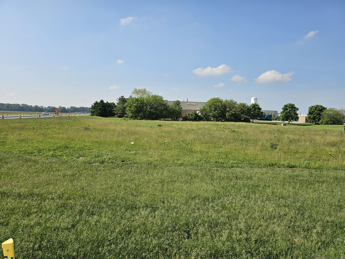
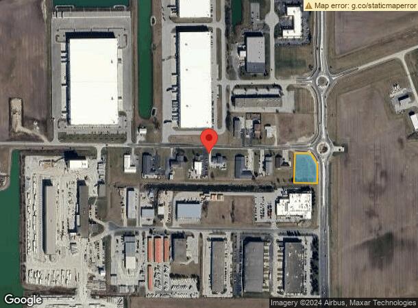
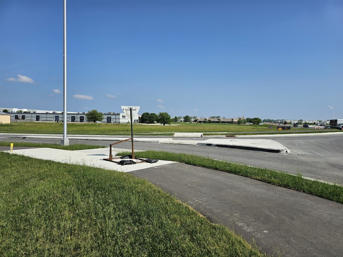
Property Record
6029 W 400 N, Greenfield, IN 46140
NEARBY LISTINGS FOR SALE OR LEASE
Property Detail
6029 W 400 N
Indianapolis-Carmel-Anderson, IN
Mt Comfort Industrial Park
30-05-13-103-008.000-006
MT CMFRT INDS PK S3 L13
Commercialacreage
Hancock
X
Indiana
18059C0108E
1.12 AC
2023
Hancock County
2023
Indianapolis
410901
DEMOGRAPHICS near 6029 W 400 N
1 Mile
3 Mile
5 Mile
2024 Total Population
211
15,877
90,103
2029 Population
230
16,335
91,456
Pop Growth 2024-2029
+ 9.00%
+ 2.88%
+ 1.50%
Average Age
37
35
37
2024 Total Households
80
5,456
33,403
HH Growth 2024-2029
+ 8.75%
+ 3.12%
+ 1.56%
Median Household Inc
$86,458
$87,367
$71,208
Avg Household Size
2.70
2.90
2.60
2024 Avg HH Vehicles
2.00
2.00
2.00
Median Home Value
$169,117
$185,103
$186,851
Median Year Built
1991
2002
1991
Nearby Places
- Restaurants
- Banks
- Shops
- Fitness
- Groceries
PUBLIC TRANSPORTATION
AIRPORT
Indianapolis International
DRIVE
WALK
Distance
Indianapolis International
48 min
30.2 mi
Freight Ports
Port of Toledo
DRIVE
WALK
Distance
Port of Toledo
256 min
212.3 mi
SALE & LEASE HISTORY
LISTING DATE
SALE/LEASE

Nov 17, 2017
For Sale
May 22, 2024
For Sale
Apr 07, 2017
For Sale
Nearby Properties
Address
Land Use
TOTAL SIZE
Lot Size
Zoning
Address
Land Use
TOTAL SIZE
Lot Size
Zoning
2,896,370 SF
54.48 AC
Address
Land Use
TOTAL SIZE
Lot Size
Zoning
659,178 SF
84.62 AC
Address
Land Use
TOTAL SIZE
Lot Size
Zoning
1,720 SF
87.91 AC
Address
Land Use
TOTAL SIZE
Lot Size
Zoning
75.21 AC
Address
Land Use
TOTAL SIZE
Lot Size
Zoning
986,112 SF
41.42 AC
Address
Land Use
TOTAL SIZE
Lot Size
Zoning
47.49 AC
Address
Land Use
TOTAL SIZE
Lot Size
Zoning
41.23 AC
Address
Land Use
TOTAL SIZE
Lot Size
Zoning
13.89 AC
Address
Land Use
TOTAL SIZE
Lot Size
Zoning
2,056 SF
76.90 AC
Address
Land Use
TOTAL SIZE
Lot Size
Zoning
2,398 SF
64.58 AC
Address
Land Use
TOTAL SIZE
Lot Size
Zoning
85.73 AC
Address
Land Use
TOTAL SIZE
Lot Size
Zoning
416,714 SF
47.60 AC
Address
Land Use
TOTAL SIZE
Lot Size
Zoning
540,000 SF
33.78 AC
Address
Land Use
TOTAL SIZE
Lot Size
Zoning
630,000 SF
30.03 AC
Address
Land Use
TOTAL SIZE
Lot Size
Zoning
499,913 SF
38.88 AC
Address
Land Use
TOTAL SIZE
Lot Size
Zoning
439,040 SF
31.70 AC
Address
Land Use
TOTAL SIZE
Lot Size
Zoning
2,620 SF
32.36 AC
Address
Land Use
TOTAL SIZE
Lot Size
Zoning
93,745 SF
70 AC
Address
Land Use
TOTAL SIZE
Lot Size
Zoning
29.76 AC
Address
Land Use
TOTAL SIZE
Lot Size
Zoning
455,424 SF
33.96 AC
Address
Land Use
TOTAL SIZE
Lot Size
Zoning
97.06 AC
Address
Land Use
TOTAL SIZE
Lot Size
Zoning
200,806 SF
26.29 AC
Address
Land Use
TOTAL SIZE
Lot Size
Zoning
423,000 SF
30.62 AC
Address
Land Use
TOTAL SIZE
Lot Size
Zoning
2,232 SF
22.88 AC
Address
Land Use
TOTAL SIZE
Lot Size
Zoning
74,311 SF
67.69 AC
Address
Land Use
TOTAL SIZE
Lot Size
Zoning
368,075 SF
25.49 AC
Address
Land Use
TOTAL SIZE
Lot Size
Zoning
27.17 AC
Address
Land Use
TOTAL SIZE
Lot Size
Zoning
250,000 SF
20.86 AC
Address
Land Use
TOTAL SIZE
Lot Size
Zoning
216,427 SF
19.62 AC
Address
Land Use
TOTAL SIZE
Lot Size
Zoning
19.12 AC
The World's #1 Commercial Real Estate Marketplace
Connect with us
© 2025 CoStar Group
The information above has been obtained from sources believed reliable. While we do not doubt its accuracy we have not verified it and make no guarantee, warranty or representation about it. It is your responsibility to independently confirm its accuracy and completeness. Any projections, opinions, assumptions, or estimates used are for example only and do not represent the current or future performance of the property. The value of this transaction to you depends on tax and other factors which should be evaluated by your tax, financial, and legal advisors. You and your advisors should conduct a careful, independent investigation of the property to determine to your satisfaction the suitability of the property for your needs.