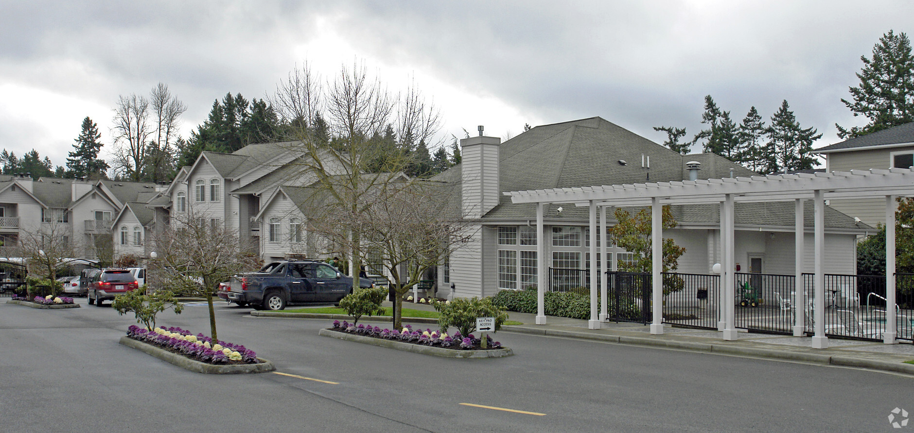
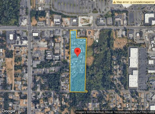
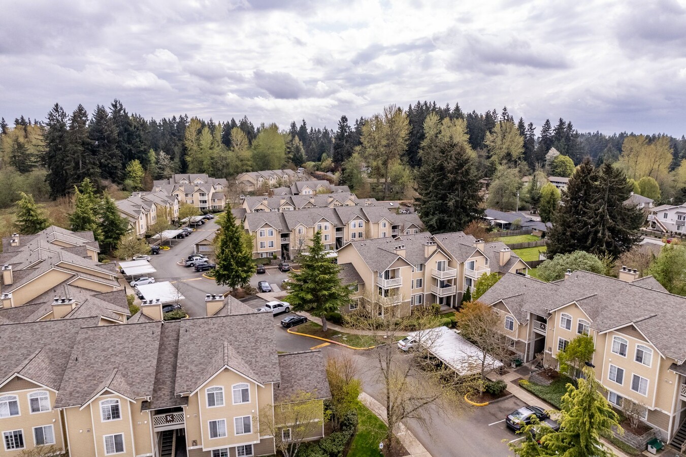
Property Record
608 39Th Ave Sw, Puyallup, WA 98373

NEARBY LISTINGS FOR SALE OR LEASE
Property Detail
608 39Th Ave Sw
041909-1066
SECTION 09 TOWNSHIP 19 RANGE 04 QUARTER 12 : PARCEL B OF DBLR 94-06-24-0788 (WETLAND & BUFFER AREA 85,043 SQ FT +/- AFN 95-09-25-0048 GR 10-95) DESC AS E 1/2 OF NW OF NE EXC E 165 FT ALSO EXC W 165 FT TOG/WTHAT POR CYD TO CY OF PUYALLUP PER ETN 10788
Multifamilydwelling
Pierce
X
Washington
53053C0343E
8.86 AC
2024
Outlying Puyallup
2024
Seattle/Puget Sound
071304
Seattle-Tacoma-Bellevue, WA
150,076 SF
DEMOGRAPHICS near 608 39Th Ave Sw
1 Mile
3 Mile
5 Mile
2024 Total Population
11,156
89,023
182,861
2029 Population
11,566
91,842
188,383
Pop Growth 2024-2029
+ 3.68%
+ 3.17%
+ 3.02%
Average Age
40
39
38
2024 Total Households
4,576
33,165
66,308
HH Growth 2024-2029
+ 3.76%
+ 3.31%
+ 3.10%
Median Household Inc
$74,112
$93,331
$95,810
Avg Household Size
2.30
2.60
2.70
2024 Avg HH Vehicles
2.00
2.00
2.00
Median Home Value
$455,367
$464,681
$461,168
Median Year Built
1995
1989
1992
Nearby Places
- Restaurants
- Banks
- Shops
- Fitness
- Groceries
PUBLIC TRANSPORTATION
COMMUTER RAIL
Puyallup Station (Sounder South Line - Central Puget Sound Regional Transit Authority Rail (Link Light Rail/Sounder))
DRIVE
WALK
Distance
Puyallup Station (Sounder South Line - Central Puget Sound Regional Transit Authority Rail (Link Light Rail/Sounder))
7 min
3.4 mi
Sumner Station (Sounder South Line - Central Puget Sound Regional Transit Authority Rail (Link Light Rail/Sounder))
DRIVE
WALK
Distance
Sumner Station (Sounder South Line - Central Puget Sound Regional Transit Authority Rail (Link Light Rail/Sounder))
11 min
6.2 mi
AIRPORT
Seattle-Tacoma International
DRIVE
WALK
Distance
Seattle-Tacoma International
42 min
25.9 mi
Freight Ports
Port of Tacoma
DRIVE
WALK
Distance
Port of Tacoma
20 min
11.2 mi
SALE & LEASE HISTORY
LISTING DATE
SALE/LEASE

Aug 06, 2019
For Sale
Nearby Properties
Address
Land Use
TOTAL SIZE
Lot Size
Zoning
Address
Land Use
TOTAL SIZE
Lot Size
Zoning
925,611 SF
6.56 AC
Address
Land Use
TOTAL SIZE
Lot Size
Zoning
359,410 SF
14.36 AC
UCX
Address
Land Use
TOTAL SIZE
Lot Size
Zoning
207,926 SF
30 AC
UCOR
Address
Land Use
TOTAL SIZE
Lot Size
Zoning
298,854 SF
15.77 AC
PUY
Address
Land Use
TOTAL SIZE
Lot Size
Zoning
559,370 SF
32.90 AC
CCX
Address
Land Use
TOTAL SIZE
Lot Size
Zoning
344,589 SF
84.83 AC
PF
Address
Land Use
TOTAL SIZE
Lot Size
Zoning
325,526 SF
17.31 AC
UCOR
Address
Land Use
TOTAL SIZE
Lot Size
Zoning
204,105 SF
10.67 AC
RM-20
Address
Land Use
TOTAL SIZE
Lot Size
Zoning
214,020 SF
17.84 AC
RM-CORE
Address
Land Use
TOTAL SIZE
Lot Size
Zoning
221,176 SF
9.04 AC
TCTR
Address
Land Use
TOTAL SIZE
Lot Size
Zoning
793,470 SF
50.77 AC
FAIR
Address
Land Use
TOTAL SIZE
Lot Size
Zoning
226,029 SF
15.19 AC
UCOR
Address
Land Use
TOTAL SIZE
Lot Size
Zoning
191,717 SF
10.84 AC
TCTR
Address
Land Use
TOTAL SIZE
Lot Size
Zoning
142,839 SF
7.30 AC
TCTR
Address
Land Use
TOTAL SIZE
Lot Size
Zoning
189,894 SF
16.31 AC
RM-CORE
Address
Land Use
TOTAL SIZE
Lot Size
Zoning
120,124 SF
16.78 AC
MSF
Address
Land Use
TOTAL SIZE
Lot Size
Zoning
153,837 SF
61.28 AC
PUY
Address
Land Use
TOTAL SIZE
Lot Size
Zoning
195,889 SF
6.93 AC
AC
Address
Land Use
TOTAL SIZE
Lot Size
Zoning
143,374 SF
4.84 AC
RM-20
Address
Land Use
TOTAL SIZE
Lot Size
Zoning
176,588 SF
8.02 AC
Address
Land Use
TOTAL SIZE
Lot Size
Zoning
109,006 SF
15.96 AC
PF
Address
Land Use
TOTAL SIZE
Lot Size
Zoning
213,496 SF
7.41 AC
UCOR
Address
Land Use
TOTAL SIZE
Lot Size
Zoning
194,788 SF
8.74 AC
UCOR
Address
Land Use
TOTAL SIZE
Lot Size
Zoning
139,910 SF
2.37 AC
RM-20
Address
Land Use
TOTAL SIZE
Lot Size
Zoning
192,028 SF
4.78 AC
RR
Address
Land Use
TOTAL SIZE
Lot Size
Zoning
194,262 SF
7.90 AC
RM-20
Address
Land Use
TOTAL SIZE
Lot Size
Zoning
129,783 SF
5.28 AC
RM-20
Address
Land Use
TOTAL SIZE
Lot Size
Zoning
108,807 SF
17.67 AC
PF
Address
Land Use
TOTAL SIZE
Lot Size
Zoning
104,071 SF
6 AC
The World's #1 Commercial Real Estate Marketplace
Connect with us
© 2025 CoStar Group
The information above has been obtained from sources believed reliable. While we do not doubt its accuracy we have not verified it and make no guarantee, warranty or representation about it. It is your responsibility to independently confirm its accuracy and completeness. Any projections, opinions, assumptions, or estimates used are for example only and do not represent the current or future performance of the property. The value of this transaction to you depends on tax and other factors which should be evaluated by your tax, financial, and legal advisors. You and your advisors should conduct a careful, independent investigation of the property to determine to your satisfaction the suitability of the property for your needs.