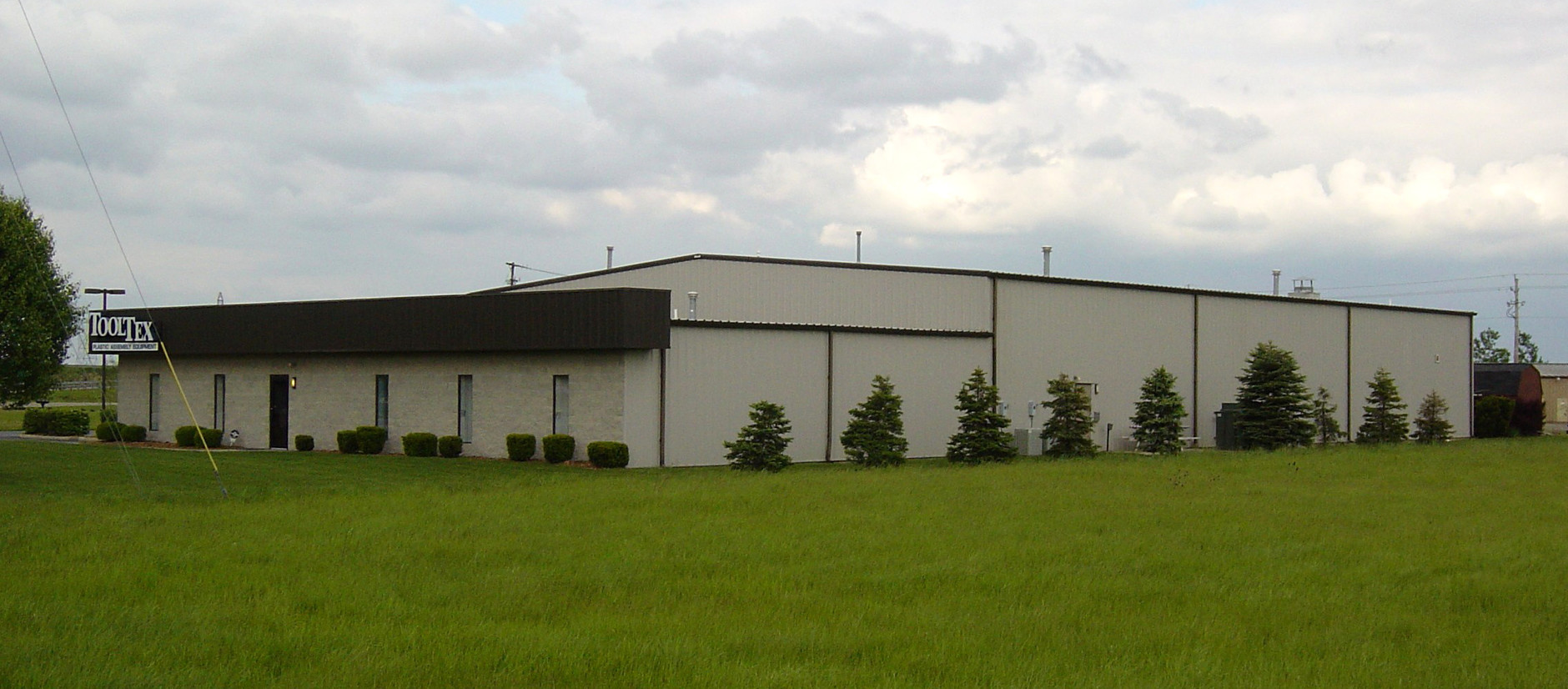
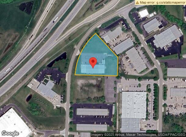
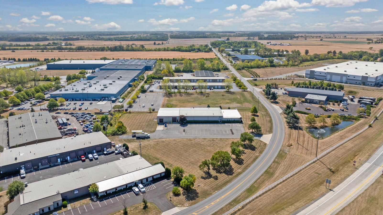
Property Record
6160 Seeds Rd, Grove City, OH 43123

NEARBY LISTINGS FOR SALE OR LEASE
Property Detail
6160 Seeds Rd
Columbus, OH
Grove City Industrial Park Sec 1
040-005814
000 SEEDS ROAD GROVE CITY IND PK 1 2.736 ACRES LOT 21
Storemultistory
Franklin
X
Ohio
39129C0050J
21
2023
2.74 AC
2023
SW Columbus
009751
Columbus
55,200 SF
DEMOGRAPHICS near 6160 Seeds Rd
1 Mile
3 Mile
5 Mile
2024 Total Population
838
23,595
61,306
2029 Population
857
23,782
62,045
Pop Growth 2024-2029
+ 2.27%
+ 0.79%
+ 1.21%
Average Age
42
41
40
2024 Total Households
404
8,942
23,720
HH Growth 2024-2029
+ 2.23%
+ 0.76%
+ 1.13%
Median Household Inc
$151,592
$108,235
$86,050
Avg Household Size
2.00
2.60
2.50
2024 Avg HH Vehicles
2.00
2.00
2.00
Median Home Value
$279,451
$276,996
$256,085
Median Year Built
2010
1997
1993
Nearby Places
- Restaurants
- Banks
- Shops
- Fitness
- Groceries
PUBLIC TRANSPORTATION
AIRPORT
Rickenbacker International
DRIVE
WALK
Distance
Rickenbacker International
20 min
10.4 mi
John Glenn Columbus International
DRIVE
WALK
Distance
John Glenn Columbus International
27 min
18.6 mi
Freight Ports
Port of Toledo
DRIVE
WALK
Distance
Port of Toledo
197 min
154.7 mi
SALE & LEASE HISTORY
LISTING DATE
SALE/LEASE

Sep 23, 2024
For Sale
Jul 27, 2022
For Sale
Nearby Properties
Address
Land Use
TOTAL SIZE
Lot Size
Zoning
Address
Land Use
TOTAL SIZE
Lot Size
Zoning
844,679 SF
61.71 AC
Address
Land Use
TOTAL SIZE
Lot Size
Zoning
679,016 SF
21.57 AC
Address
Land Use
TOTAL SIZE
Lot Size
Zoning
140,076 SF
22.40 AC
Address
Land Use
TOTAL SIZE
Lot Size
Zoning
682,728 SF
52.33 AC
Address
Land Use
TOTAL SIZE
Lot Size
Zoning
683,478 SF
15.68 AC
Address
Land Use
TOTAL SIZE
Lot Size
Zoning
245,061 SF
10.19 AC
Address
Land Use
TOTAL SIZE
Lot Size
Zoning
331,341 SF
28.14 AC
Address
Land Use
TOTAL SIZE
Lot Size
Zoning
27,581 SF
15.98 AC
Address
Land Use
TOTAL SIZE
Lot Size
Zoning
85,058 SF
16.16 AC
Address
Land Use
TOTAL SIZE
Lot Size
Zoning
278,095 SF
37.25 AC
Address
Land Use
TOTAL SIZE
Lot Size
Zoning
308,850 SF
12.70 AC
Address
Land Use
TOTAL SIZE
Lot Size
Zoning
371,370 SF
26.31 AC
Address
Land Use
TOTAL SIZE
Lot Size
Zoning
132,035 SF
84.68 AC
Address
Land Use
TOTAL SIZE
Lot Size
Zoning
25,820 SF
22.25 AC
Address
Land Use
TOTAL SIZE
Lot Size
Zoning
624,960 SF
21.11 AC
Address
Land Use
TOTAL SIZE
Lot Size
Zoning
632,790 SF
28.12 AC
Address
Land Use
TOTAL SIZE
Lot Size
Zoning
808,080 SF
15.06 AC
Address
Land Use
TOTAL SIZE
Lot Size
Zoning
577,800 SF
16.43 AC
Address
Land Use
TOTAL SIZE
Lot Size
Zoning
123,352 SF
16.74 AC
Address
Land Use
TOTAL SIZE
Lot Size
Zoning
351,378 SF
5.51 AC
Address
Land Use
TOTAL SIZE
Lot Size
Zoning
151,524 SF
3.43 AC
Address
Land Use
TOTAL SIZE
Lot Size
Zoning
68,625 SF
19.11 AC
Address
Land Use
TOTAL SIZE
Lot Size
Zoning
124,272 SF
94.62 AC
Address
Land Use
TOTAL SIZE
Lot Size
Zoning
115,230 SF
4.30 AC
Address
Land Use
TOTAL SIZE
Lot Size
Zoning
31,455 SF
42.31 AC
Address
Land Use
TOTAL SIZE
Lot Size
Zoning
52,057 SF
6.63 AC
Address
Land Use
TOTAL SIZE
Lot Size
Zoning
68,938 SF
9.67 AC
Address
Land Use
TOTAL SIZE
Lot Size
Zoning
587,352 SF
28.18 AC
Address
Land Use
TOTAL SIZE
Lot Size
Zoning
224.37 AC
Address
Land Use
TOTAL SIZE
Lot Size
Zoning
120,696 SF
11.75 AC
The World's #1 Commercial Real Estate Marketplace
Connect with us
© 2025 CoStar Group
The information above has been obtained from sources believed reliable. While we do not doubt its accuracy we have not verified it and make no guarantee, warranty or representation about it. It is your responsibility to independently confirm its accuracy and completeness. Any projections, opinions, assumptions, or estimates used are for example only and do not represent the current or future performance of the property. The value of this transaction to you depends on tax and other factors which should be evaluated by your tax, financial, and legal advisors. You and your advisors should conduct a careful, independent investigation of the property to determine to your satisfaction the suitability of the property for your needs.