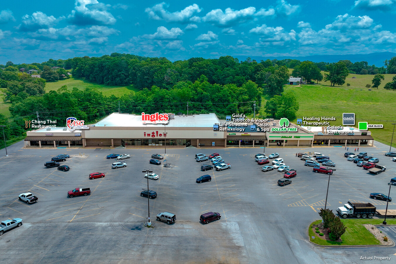
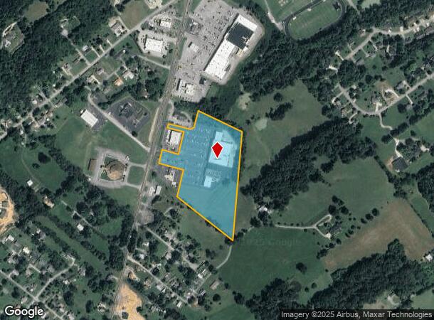
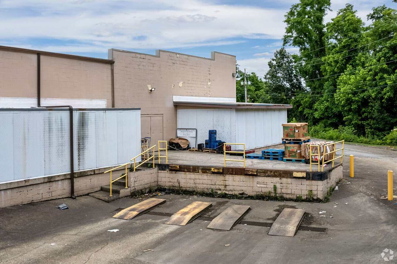
Property Record
619 Asheville Hwy, Greeneville, TN 37743
NEARBY LISTINGS FOR SALE OR LEASE
Property Detail
619 Asheville Hwy
110J-G-040.02
Richard E Lemay
Commercialnec
722.85 FRONT
X
Greene
47059C0238D
Tennessee
2024
11.50 AC
2024
Tennessee East Area
090502
Other Market Areas
57,563 SF
Greeneville, TN
DEMOGRAPHICS near 619 Asheville Hwy
1 Mile
3 Mile
5 Mile
2024 Total Population
2,657
16,396
28,608
2029 Population
2,792
17,306
30,165
Pop Growth 2024-2029
+ 5.08%
+ 5.55%
+ 5.44%
Average Age
43
43
43
2024 Total Households
1,125
6,864
12,036
HH Growth 2024-2029
+ 5.24%
+ 5.64%
+ 5.54%
Median Household Inc
$58,210
$56,190
$55,806
Avg Household Size
2.30
2.30
2.30
2024 Avg HH Vehicles
2.00
2.00
2.00
Median Home Value
$191,224
$175,492
$181,729
Median Year Built
1972
1970
1975
Nearby Places
- Restaurants
- Banks
- Shops
- Fitness
- Groceries
SALE & LEASE HISTORY
LISTING DATE
SALE/LEASE

Sep 25, 2016
For Lease
May 26, 2021
For Sale
Jun 16, 2023
For Sale
Nearby Properties
Address
Land Use
TOTAL SIZE
Lot Size
Zoning
Address
Land Use
TOTAL SIZE
Lot Size
Zoning
45,288 SF
4.78 AC
MR
Address
Land Use
TOTAL SIZE
Lot Size
Zoning
111,495 SF
9.82 AC
M2
Address
Land Use
TOTAL SIZE
Lot Size
Zoning
50,806 SF
6.14 AC
A1
Address
Land Use
TOTAL SIZE
Lot Size
Zoning
39,910 SF
5.50 AC
A1
Address
Land Use
TOTAL SIZE
Lot Size
Zoning
51,265 SF
4 AC
Address
Land Use
TOTAL SIZE
Lot Size
Zoning
70,123 SF
1.10 AC
A1
Address
Land Use
TOTAL SIZE
Lot Size
Zoning
44,415 SF
5.23 AC
A1
Address
Land Use
TOTAL SIZE
Lot Size
Zoning
11,016 SF
6.50 AC
B4
Address
Land Use
TOTAL SIZE
Lot Size
Zoning
165,500 SF
23 AC
M1
Address
Land Use
TOTAL SIZE
Lot Size
Zoning
27,117 SF
2.77 AC
A1
Address
Land Use
TOTAL SIZE
Lot Size
Zoning
5,596 SF
2.74 AC
R1
Address
Land Use
TOTAL SIZE
Lot Size
Zoning
42,771 SF
4.25 AC
M2
Address
Land Use
TOTAL SIZE
Lot Size
Zoning
20,820 SF
150 AC
B2
Address
Land Use
TOTAL SIZE
Lot Size
Zoning
28,122 SF
152 AC
B3
Address
Land Use
TOTAL SIZE
Lot Size
Zoning
130,338 SF
9.82 AC
M1
Address
Land Use
TOTAL SIZE
Lot Size
Zoning
42,552 SF
3.67 AC
B4
Address
Land Use
TOTAL SIZE
Lot Size
Zoning
43,575 SF
239 AC
A1
Address
Land Use
TOTAL SIZE
Lot Size
Zoning
129,865 SF
9.07 AC
M1
Address
Land Use
TOTAL SIZE
Lot Size
Zoning
31,222 SF
4 AC
B4
Address
Land Use
TOTAL SIZE
Lot Size
Zoning
63,276 SF
18.42 AC
B4
Address
Land Use
TOTAL SIZE
Lot Size
Zoning
14,520 SF
5.55 AC
M1
Address
Land Use
TOTAL SIZE
Lot Size
Zoning
3,840 SF
3.90 AC
A1
Address
Land Use
TOTAL SIZE
Lot Size
Zoning
31,509 SF
1.52 AC
M1
Address
Land Use
TOTAL SIZE
Lot Size
Zoning
22,490 SF
2.90 AC
B4
Address
Land Use
TOTAL SIZE
Lot Size
Zoning
39,890 SF
9.76 AC
A1
Address
Land Use
TOTAL SIZE
Lot Size
Zoning
10,431 SF
2.03 AC
MR
Address
Land Use
TOTAL SIZE
Lot Size
Zoning
8,717 SF
1.75 AC
R3
Address
Land Use
TOTAL SIZE
Lot Size
Zoning
3,672 SF
1.49 AC
A1
Address
Land Use
TOTAL SIZE
Lot Size
Zoning
260,188 SF
8.60 AC
M-1
The World's #1 Commercial Real Estate Marketplace
Connect with us
© 2025 CoStar Group
The information above has been obtained from sources believed reliable. While we do not doubt its accuracy we have not verified it and make no guarantee, warranty or representation about it. It is your responsibility to independently confirm its accuracy and completeness. Any projections, opinions, assumptions, or estimates used are for example only and do not represent the current or future performance of the property. The value of this transaction to you depends on tax and other factors which should be evaluated by your tax, financial, and legal advisors. You and your advisors should conduct a careful, independent investigation of the property to determine to your satisfaction the suitability of the property for your needs.