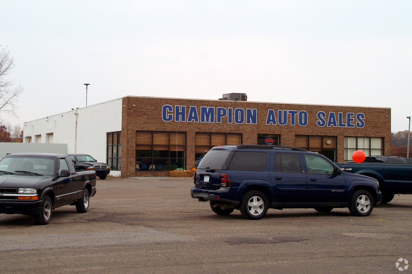
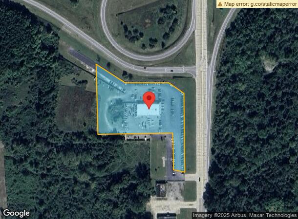
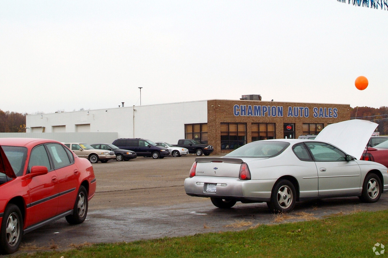
Property Record
6197 N Clio Rd, Mount Morris, MI 48458
NEARBY LISTINGS FOR SALE OR LEASE
Property Detail
6197 N Clio Rd
14-15-400-012
A PARCEL OF LAND BEG N 0 DEG 18 MIN 23 SEC W 998.57 FT & S 88 DEG 56 MIN 27 SEC W 100 FT & N 0 DEG 18 MIN 23 SEC W 166.21 FT FROM SE COR OF SEC TH N 0 DEG 18 MIN 23 SEC W 468.79 FT TH N 56 DEG 36 MIN 59 SEC W 108.17 FT TH S 89 DEG 41 MIN 37 SEC W 250
Commercialnec
Genesee
X
Michigan
26049C0178D
8.30 AC
2024
Flint
2024
Detroit
010504
Flint, MI
DEMOGRAPHICS near 6197 N Clio Rd
1 Mile
3 Mile
5 Mile
2024 Total Population
2,536
35,065
86,558
2029 Population
2,507
35,605
88,153
Pop Growth 2024-2029
(1.14%)
+ 1.54%
+ 1.84%
Average Age
37
40
40
2024 Total Households
976
14,276
35,462
HH Growth 2024-2029
(1.33%)
+ 1.60%
+ 1.87%
Median Household Inc
$36,836
$35,599
$36,853
Avg Household Size
2.50
2.40
2.30
2024 Avg HH Vehicles
1.00
1.00
1.00
Median Home Value
$66,968
$67,799
$76,460
Median Year Built
1963
1961
1962
Nearby Places
- Restaurants
- Banks
- Shops
- Fitness
- Groceries
PUBLIC TRANSPORTATION
COMMUTER RAIL
Flint Amtrak Station (Blue Water - Amtrak)
DRIVE
WALK
Distance
Flint Amtrak Station (Blue Water - Amtrak)
17 min
9.4 mi
AIRPORT
Bishop International
DRIVE
WALK
Distance
Bishop International
29 min
15.1 mi
Freight Ports
Port of Toledo
DRIVE
WALK
Distance
Port of Toledo
142 min
121.1 mi
Nearby Properties
Address
Land Use
TOTAL SIZE
Lot Size
Zoning
Address
Land Use
TOTAL SIZE
Lot Size
Zoning
103.18 AC
Address
Land Use
TOTAL SIZE
Lot Size
Zoning
Address
Land Use
TOTAL SIZE
Lot Size
Zoning
Address
Land Use
TOTAL SIZE
Lot Size
Zoning
224,263 SF
24.98 AC
Address
Land Use
TOTAL SIZE
Lot Size
Zoning
101,744 SF
4.90 AC
Address
Land Use
TOTAL SIZE
Lot Size
Zoning
33.39 AC
Address
Land Use
TOTAL SIZE
Lot Size
Zoning
11.12 AC
Address
Land Use
TOTAL SIZE
Lot Size
Zoning
94,807 SF
7.55 AC
R-1 SF PUD
Address
Land Use
TOTAL SIZE
Lot Size
Zoning
97,898 SF
11.30 AC
R-1 SF PUD
Address
Land Use
TOTAL SIZE
Lot Size
Zoning
224,263 SF
27.46 AC
Address
Land Use
TOTAL SIZE
Lot Size
Zoning
Address
Land Use
TOTAL SIZE
Lot Size
Zoning
5.10 AC
Address
Land Use
TOTAL SIZE
Lot Size
Zoning
2.45 AC
Address
Land Use
TOTAL SIZE
Lot Size
Zoning
Address
Land Use
TOTAL SIZE
Lot Size
Zoning
76,051 SF
8.31 AC
C-2 HWY CO
Address
Land Use
TOTAL SIZE
Lot Size
Zoning
Address
Land Use
TOTAL SIZE
Lot Size
Zoning
7.33 AC
Address
Land Use
TOTAL SIZE
Lot Size
Zoning
5.70 AC
Address
Land Use
TOTAL SIZE
Lot Size
Zoning
Address
Land Use
TOTAL SIZE
Lot Size
Zoning
2.02 AC
Address
Land Use
TOTAL SIZE
Lot Size
Zoning
1.41 AC
Address
Land Use
TOTAL SIZE
Lot Size
Zoning
19.75 AC
Address
Land Use
TOTAL SIZE
Lot Size
Zoning
31.55 AC
Address
Land Use
TOTAL SIZE
Lot Size
Zoning
3,434 SF
5.63 AC
I-1 LHGT I
Address
Land Use
TOTAL SIZE
Lot Size
Zoning
329,849 SF
21.20 AC
Address
Land Use
TOTAL SIZE
Lot Size
Zoning
Address
Land Use
TOTAL SIZE
Lot Size
Zoning
18.66 AC
Address
Land Use
TOTAL SIZE
Lot Size
Zoning
0.64 AC
Address
Land Use
TOTAL SIZE
Lot Size
Zoning
20.06 AC
Address
Land Use
TOTAL SIZE
Lot Size
Zoning
10.15 AC
The World's #1 Commercial Real Estate Marketplace
Connect with us
© 2025 CoStar Group
The information above has been obtained from sources believed reliable. While we do not doubt its accuracy we have not verified it and make no guarantee, warranty or representation about it. It is your responsibility to independently confirm its accuracy and completeness. Any projections, opinions, assumptions, or estimates used are for example only and do not represent the current or future performance of the property. The value of this transaction to you depends on tax and other factors which should be evaluated by your tax, financial, and legal advisors. You and your advisors should conduct a careful, independent investigation of the property to determine to your satisfaction the suitability of the property for your needs.