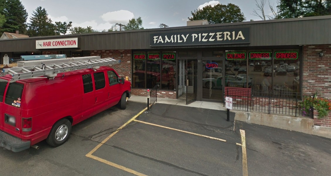
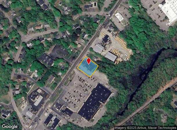
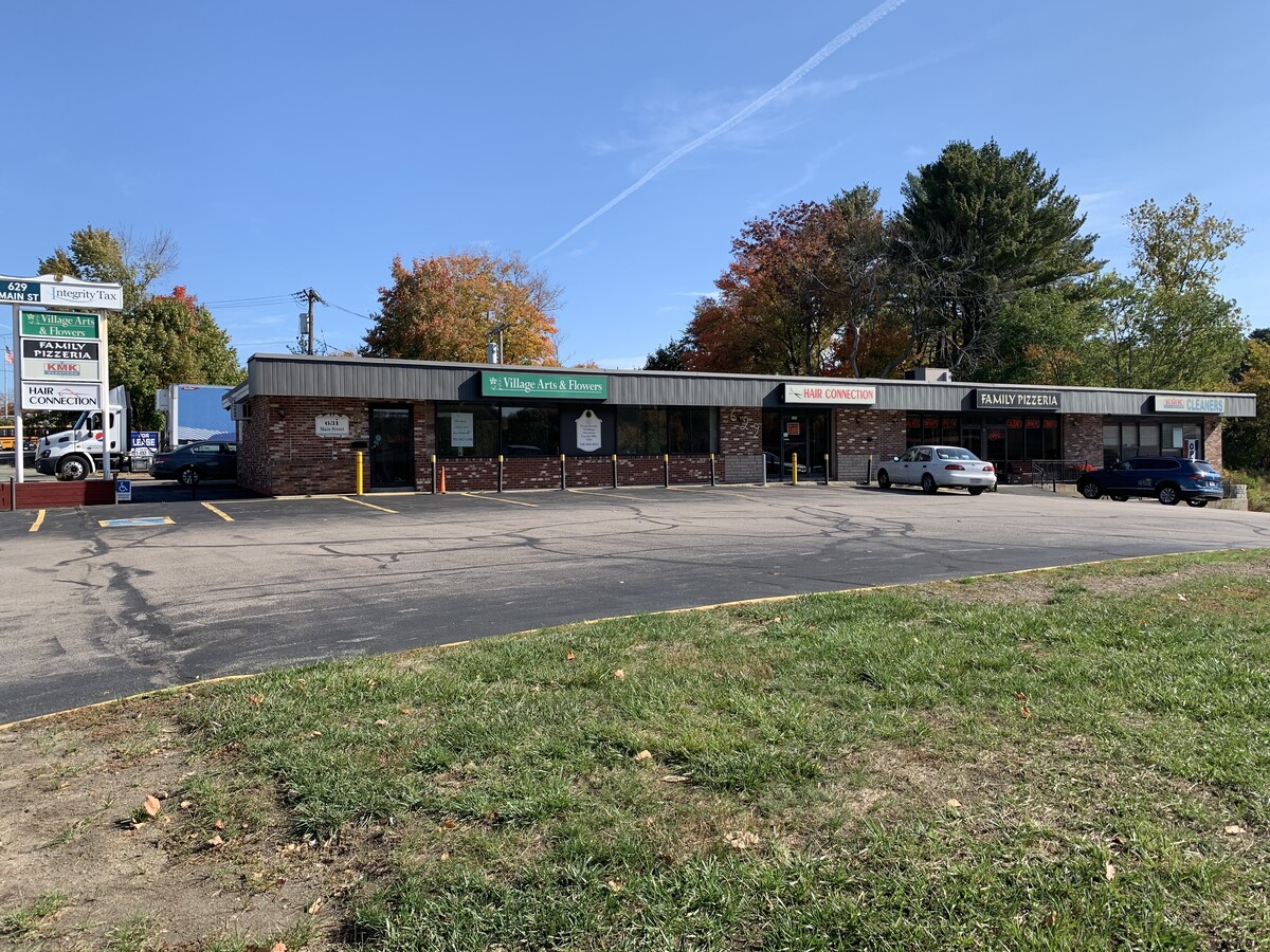
Property Record
629 Main St, Walpole, MA 02081
NEARBY LISTINGS FOR SALE OR LEASE
Property Detail
629 Main St
Storebuilding
Norfolk
X
Massachusetts
25021C0188E
0.50 AC
2025
I-95 Corridor South
2025
Boston
411200
Boston-Cambridge-Newton, MA-NH
6,467 SF
WALP-000026-000019
DEMOGRAPHICS near 629 Main St
1 Mile
3 Mile
5 Mile
2024 Total Population
7,987
40,912
101,463
2029 Population
8,108
40,864
100,970
Pop Growth 2024-2029
+ 1.51%
(0.12%)
(0.49%)
Average Age
42
41
41
2024 Total Households
3,058
15,115
37,741
HH Growth 2024-2029
+ 1.67%
(0.09%)
(0.53%)
Median Household Inc
$128,614
$131,092
$135,353
Avg Household Size
2.60
2.60
2.60
2024 Avg HH Vehicles
2.00
2.00
2.00
Median Home Value
$622,714
$660,239
$681,847
Median Year Built
1979
1968
1968
Nearby Places
- Restaurants
- Banks
- Shops
- Fitness
- Groceries
PUBLIC TRANSPORTATION
COMMUTER RAIL
Walpole (Foxboro Line (Special Events Only) - Massachusetts Bay Transportation Authority Commuter Rail (Purple Line), Franklin Line - Massachusetts Bay Transportation Authority Commuter Rail (Purple Line))
DRIVE
WALK
Distance
Walpole (Foxboro Line (Special Events Only) - Massachusetts Bay Transportation Authority Commuter Rail (Purple Line), Franklin Line - Massachusetts Bay Transportation Authority Commuter Rail (Purple Line))
2 min
19 min
1.0 mi
Windsor Gardens (Franklin Line - Massachusetts Bay Transportation Authority Commuter Rail (Purple Line))
DRIVE
WALK
Distance
Windsor Gardens (Franklin Line - Massachusetts Bay Transportation Authority Commuter Rail (Purple Line))
4 min
2.1 mi
AIRPORT
General Edward Lawrence Logan International
DRIVE
WALK
Distance
General Edward Lawrence Logan International
42 min
22.0 mi
Freight Ports
Port of Boston
DRIVE
WALK
Distance
Port of Boston
39 min
20.4 mi
SALE & LEASE HISTORY
LISTING DATE
SALE/LEASE

Nov 01, 2018
For Lease
Nov 01, 2018
For Lease
Dec 14, 2020
For Lease
Nearby Properties
Address
Land Use
TOTAL SIZE
Lot Size
Zoning
Address
Land Use
TOTAL SIZE
Lot Size
Zoning
544,990 SF
63.29 AC
Address
Land Use
TOTAL SIZE
Lot Size
Zoning
198,498 SF
14 AC
Address
Land Use
TOTAL SIZE
Lot Size
Zoning
97.60 AC
Address
Land Use
TOTAL SIZE
Lot Size
Zoning
245,693 SF
2.57 AC
Address
Land Use
TOTAL SIZE
Lot Size
Zoning
30.94 AC
Address
Land Use
TOTAL SIZE
Lot Size
Zoning
28,561 SF
26.30 AC
Address
Land Use
TOTAL SIZE
Lot Size
Zoning
81,009 SF
22.16 AC
Address
Land Use
TOTAL SIZE
Lot Size
Zoning
14.33 AC
Address
Land Use
TOTAL SIZE
Lot Size
Zoning
218,676 SF
22.54 AC
Address
Land Use
TOTAL SIZE
Lot Size
Zoning
263,007 SF
8.11 AC
Address
Land Use
TOTAL SIZE
Lot Size
Zoning
211,362 SF
2.39 AC
Address
Land Use
TOTAL SIZE
Lot Size
Zoning
89,960 SF
52.40 AC
Address
Land Use
TOTAL SIZE
Lot Size
Zoning
79,901 SF
11.46 AC
Address
Land Use
TOTAL SIZE
Lot Size
Zoning
11.98 AC
Address
Land Use
TOTAL SIZE
Lot Size
Zoning
127,556 SF
14.88 AC
Address
Land Use
TOTAL SIZE
Lot Size
Zoning
117.30 AC
Address
Land Use
TOTAL SIZE
Lot Size
Zoning
48,693 SF
9.02 AC
Address
Land Use
TOTAL SIZE
Lot Size
Zoning
52,214 SF
20 AC
Address
Land Use
TOTAL SIZE
Lot Size
Zoning
93,218 SF
9.68 AC
LI
Address
Land Use
TOTAL SIZE
Lot Size
Zoning
100,012 SF
7.11 AC
Address
Land Use
TOTAL SIZE
Lot Size
Zoning
64,887 SF
21.10 AC
Address
Land Use
TOTAL SIZE
Lot Size
Zoning
54,948 SF
11.43 AC
Address
Land Use
TOTAL SIZE
Lot Size
Zoning
158,279 SF
8.60 AC
Address
Land Use
TOTAL SIZE
Lot Size
Zoning
55,182 SF
4.04 AC
Address
Land Use
TOTAL SIZE
Lot Size
Zoning
56,414 SF
7.63 AC
Address
Land Use
TOTAL SIZE
Lot Size
Zoning
102,024 SF
9.97 AC
LI
Address
Land Use
TOTAL SIZE
Lot Size
Zoning
147,984 SF
20.57 AC
Address
Land Use
TOTAL SIZE
Lot Size
Zoning
94,623 SF
8.17 AC
Address
Land Use
TOTAL SIZE
Lot Size
Zoning
39,637 SF
17.84 AC
Address
Land Use
TOTAL SIZE
Lot Size
Zoning
73,461 SF
18.29 AC
The World's #1 Commercial Real Estate Marketplace
Connect with us
© 2025 CoStar Group
The information above has been obtained from sources believed reliable. While we do not doubt its accuracy we have not verified it and make no guarantee, warranty or representation about it. It is your responsibility to independently confirm its accuracy and completeness. Any projections, opinions, assumptions, or estimates used are for example only and do not represent the current or future performance of the property. The value of this transaction to you depends on tax and other factors which should be evaluated by your tax, financial, and legal advisors. You and your advisors should conduct a careful, independent investigation of the property to determine to your satisfaction the suitability of the property for your needs.