Property Record
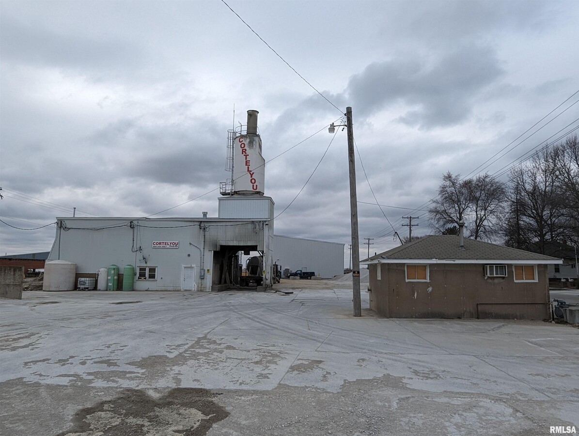
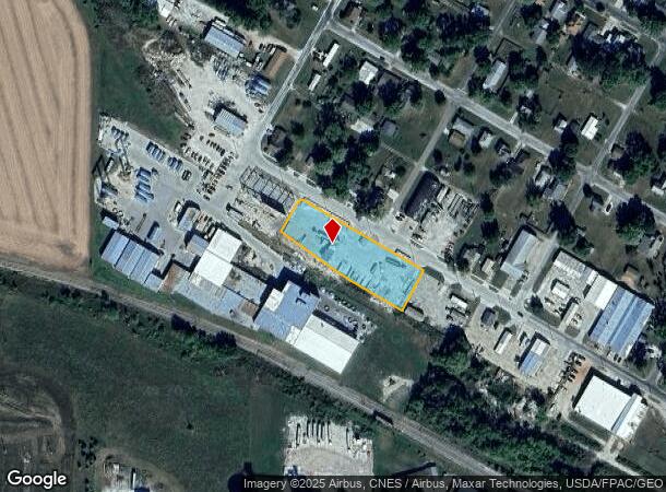
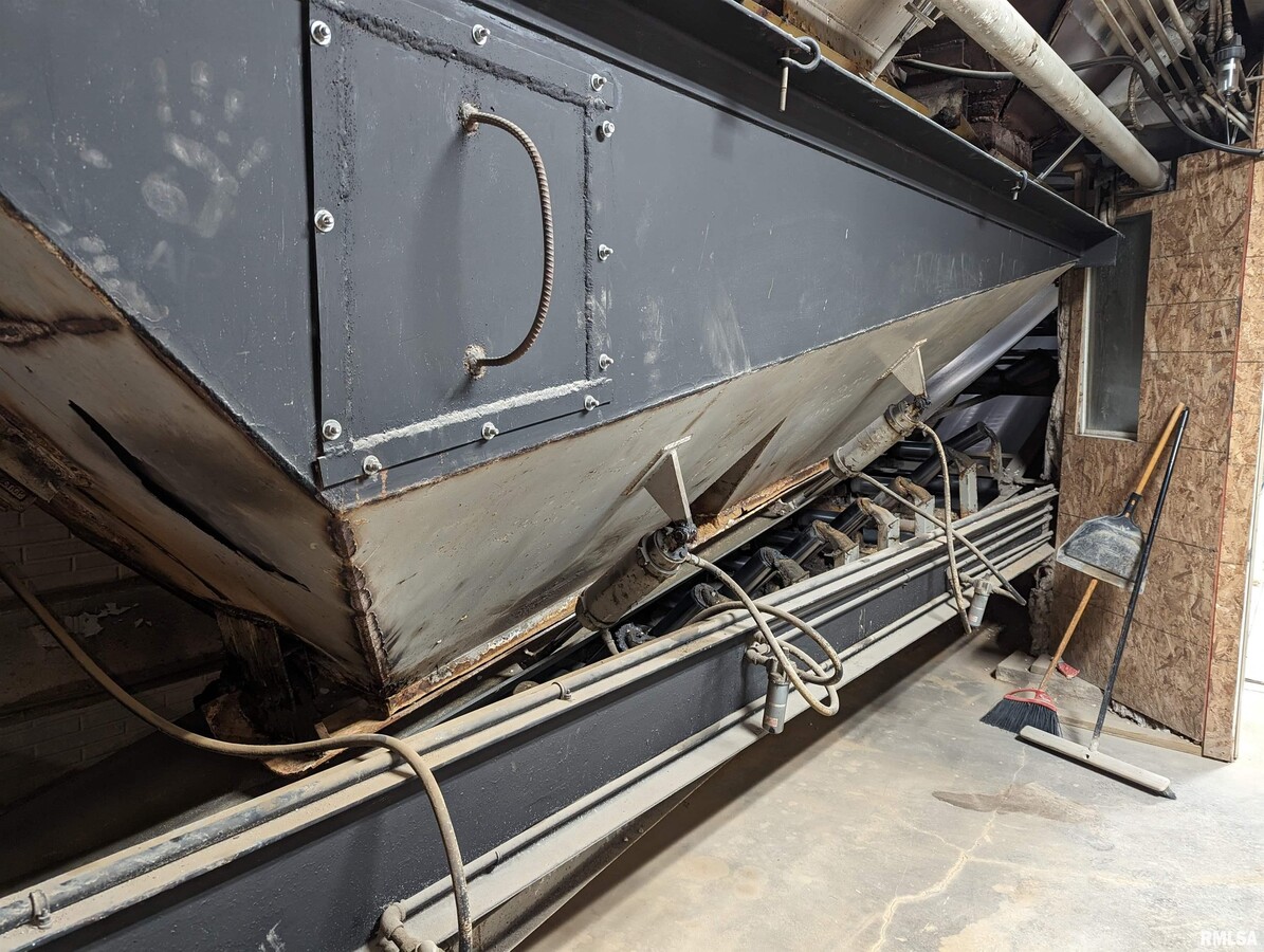
630 W Davis St, Bushnell, IL 61422
This Property Is For Sale
NEARBY LISTINGS FOR SALE OR LEASE
Property Detail
630 W Davis St
Other Market Areas
County Of Mcdonough
Macomb, IL
S33 T7 R1 PT NW
03-000-158-10
Mcdonough
Commercialnec
Illinois
2023
0.98 AC
2023
Illinois North Area
010100
DEMOGRAPHICS near 630 W Davis St
1 Mile
3 Mile
5 Mile
2024 Total Population
2,331
3,036
3,512
2029 Population
2,294
2,991
3,433
Pop Growth 2024-2029
(1.59%)
(1.48%)
(2.25%)
Average Age
43
43
43
2024 Total Households
1,014
1,308
1,506
HH Growth 2024-2029
(1.78%)
(1.68%)
(2.46%)
Median Household Inc
$55,028
$54,349
$54,802
Avg Household Size
2.10
2.20
2.20
2024 Avg HH Vehicles
2.00
2.00
2.00
Median Home Value
$66,977
$65,677
$67,175
Median Year Built
1953
1953
1953
Nearby Places
- Restaurants
- Banks
- Shops
- Fitness
- Groceries
Nearby Properties
Address
Land Use
TOTAL SIZE
Lot Size
Zoning
Address
Land Use
TOTAL SIZE
Lot Size
Zoning
59,968 SF
3.60 AC
Address
Land Use
TOTAL SIZE
Lot Size
Zoning
1.37 AC
Address
Land Use
TOTAL SIZE
Lot Size
Zoning
Address
Land Use
TOTAL SIZE
Lot Size
Zoning
1.74 AC
Address
Land Use
TOTAL SIZE
Lot Size
Zoning
162.58 AC
Address
Land Use
TOTAL SIZE
Lot Size
Zoning
1.45 AC
Address
Land Use
TOTAL SIZE
Lot Size
Zoning
162.75 AC
Address
Land Use
TOTAL SIZE
Lot Size
Zoning
11.21 AC
Address
Land Use
TOTAL SIZE
Lot Size
Zoning
5.03 AC
Address
Land Use
TOTAL SIZE
Lot Size
Zoning
138.08 AC
Address
Land Use
TOTAL SIZE
Lot Size
Zoning
165.38 AC
Address
Land Use
TOTAL SIZE
Lot Size
Zoning
2.89 AC
Address
Land Use
TOTAL SIZE
Lot Size
Zoning
56 SF
147.15 AC
Address
Land Use
TOTAL SIZE
Lot Size
Zoning
187.72 AC
Address
Land Use
TOTAL SIZE
Lot Size
Zoning
152.22 AC
Address
Land Use
TOTAL SIZE
Lot Size
Zoning
158.43 AC
Address
Land Use
TOTAL SIZE
Lot Size
Zoning
Address
Land Use
TOTAL SIZE
Lot Size
Zoning
1.25 AC
Address
Land Use
TOTAL SIZE
Lot Size
Zoning
1.85 AC
Address
Land Use
TOTAL SIZE
Lot Size
Zoning
131.81 AC
Address
Land Use
TOTAL SIZE
Lot Size
Zoning
0.27 AC
Address
Land Use
TOTAL SIZE
Lot Size
Zoning
2,236 SF
33.42 AC
Address
Land Use
TOTAL SIZE
Lot Size
Zoning
81.42 AC
Address
Land Use
TOTAL SIZE
Lot Size
Zoning
159.13 AC
Address
Land Use
TOTAL SIZE
Lot Size
Zoning
0.73 AC
Address
Land Use
TOTAL SIZE
Lot Size
Zoning
164.14 AC
Address
Land Use
TOTAL SIZE
Lot Size
Zoning
0.52 AC
Address
Land Use
TOTAL SIZE
Lot Size
Zoning
0.84 AC
Address
Land Use
TOTAL SIZE
Lot Size
Zoning
1.06 AC
Address
Land Use
TOTAL SIZE
Lot Size
Zoning
12.12 AC
The World's #1 Commercial Real Estate Marketplace
Connect with us
© 2025 CoStar Group
The information above has been obtained from sources believed reliable. While we do not doubt its accuracy we have not verified it and make no guarantee, warranty or representation about it. It is your responsibility to independently confirm its accuracy and completeness. Any projections, opinions, assumptions, or estimates used are for example only and do not represent the current or future performance of the property. The value of this transaction to you depends on tax and other factors which should be evaluated by your tax, financial, and legal advisors. You and your advisors should conduct a careful, independent investigation of the property to determine to your satisfaction the suitability of the property for your needs.