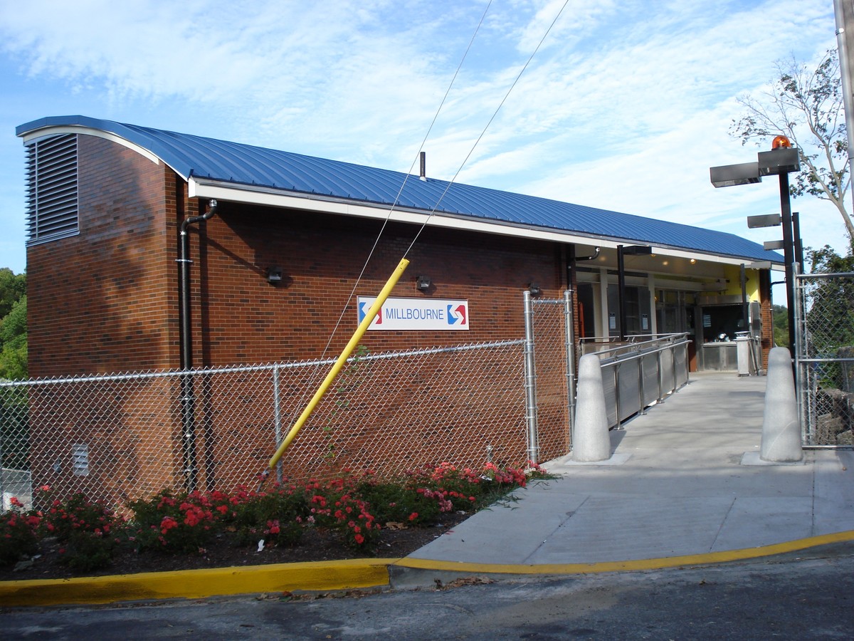
Property Record
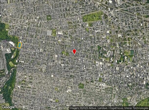
6301 Market St, Philadelphia, PA 19139
NEARBY LISTINGS FOR SALE OR LEASE
Property Detail
6301 Market St
783303600
NWC 63RD-ES LNSDWNE-
Gymhealthspa
Philadelphia
AE
Pennsylvania
42045C0109F
203.40 AC
0
West Philadelphia
2025
Philadelphia
009300
Philadelphia-Camden-Wilmington, PA-NJ-DE-MD
DEMOGRAPHICS near 6301 Market St
1 Mile
3 Mile
5 Mile
2024 Total Population
61,833
357,153
854,326
2029 Population
60,068
350,183
840,052
Pop Growth 2024-2029
(2.85%)
(1.95%)
(1.67%)
Average Age
39
37
38
2024 Total Households
23,897
137,817
355,902
HH Growth 2024-2029
(3.09%)
(2.19%)
(1.94%)
Median Household Inc
$38,363
$46,197
$59,716
Avg Household Size
2.50
2.40
2.20
2024 Avg HH Vehicles
1.00
1.00
1.00
Median Home Value
$120,622
$168,722
$248,296
Median Year Built
1946
1947
1949
Nearby Places
- Restaurants
- Banks
- Shops
- Fitness
- Groceries
PUBLIC TRANSPORTATION
TRANSIT/SUBWAY
52Nd Street (Market-Frankford Line - Southeastern Pennsylvania Transportation Authority Rapid Transit (SEPTA Subway & Trolley))
DRIVE
WALK
Distance
52Nd Street (Market-Frankford Line - Southeastern Pennsylvania Transportation Authority Rapid Transit (SEPTA Subway & Trolley))
1 min
4 min
0.2 mi
56Th Street (Market-Frankford Line - Southeastern Pennsylvania Transportation Authority Rapid Transit (SEPTA Subway & Trolley))
DRIVE
WALK
Distance
56Th Street (Market-Frankford Line - Southeastern Pennsylvania Transportation Authority Rapid Transit (SEPTA Subway & Trolley))
1 min
5 min
0.3 mi
Girard Av & 54Th St (63rd-Girard to Richmond-Westmorelnd - SEPTA)
DRIVE
WALK
Distance
Girard Av & 54Th St (63rd-Girard to Richmond-Westmorelnd - SEPTA)
4 min
14 min
0.7 mi
60Th Street (Market-Frankford Line - Southeastern Pennsylvania Transportation Authority Rapid Transit (SEPTA Subway & Trolley))
DRIVE
WALK
Distance
60Th Street (Market-Frankford Line - Southeastern Pennsylvania Transportation Authority Rapid Transit (SEPTA Subway & Trolley))
2 min
14 min
0.7 mi
Girard Av & 56Th St (63rd-Girard to Richmond-Westmorelnd - SEPTA)
DRIVE
WALK
Distance
Girard Av & 56Th St (63rd-Girard to Richmond-Westmorelnd - SEPTA)
3 min
16 min
0.8 mi
COMMUTER RAIL
Angora (R3 - Southeastern Pennsylvania Transportation Authority Regional Rail (SEPTA Regional Rail))
DRIVE
WALK
Distance
Angora (R3 - Southeastern Pennsylvania Transportation Authority Regional Rail (SEPTA Regional Rail))
5 min
1.7 mi
49Th Street (R3 - Southeastern Pennsylvania Transportation Authority Regional Rail (SEPTA Regional Rail))
DRIVE
WALK
Distance
49Th Street (R3 - Southeastern Pennsylvania Transportation Authority Regional Rail (SEPTA Regional Rail))
5 min
1.7 mi
AIRPORT
Philadelphia International
DRIVE
WALK
Distance
Philadelphia International
20 min
8.4 mi
Freight Ports
South Jersey Port
DRIVE
WALK
Distance
South Jersey Port
17 min
8.0 mi
SALE & LEASE HISTORY
LISTING DATE
SALE/LEASE

Apr 10, 2017
For Lease
Nearby Properties
Address
Land Use
TOTAL SIZE
Lot Size
Zoning
Address
Land Use
TOTAL SIZE
Lot Size
Zoning
1,076,400 SF
5 AC
CMX4
Address
Land Use
TOTAL SIZE
Lot Size
Zoning
26,690 SF
500 AC
SPINS
Address
Land Use
TOTAL SIZE
Lot Size
Zoning
319,590 SF
0.87 AC
I2
Address
Land Use
TOTAL SIZE
Lot Size
Zoning
1,179,072 SF
8.90 AC
RM4
Address
Land Use
TOTAL SIZE
Lot Size
Zoning
782,208 SF
0.68 AC
CMX5
Address
Land Use
TOTAL SIZE
Lot Size
Zoning
500,165 SF
2.16 AC
SPPOA
Address
Land Use
TOTAL SIZE
Lot Size
Zoning
1,152,520 SF
1.49 AC
CMX5
Address
Land Use
TOTAL SIZE
Lot Size
Zoning
696,920 SF
10.55 AC
SPINS
Address
Land Use
TOTAL SIZE
Lot Size
Zoning
1,152,480 SF
1.48 AC
CMX5
Address
Land Use
TOTAL SIZE
Lot Size
Zoning
700,000 SF
7.88 AC
CMX5
Address
Land Use
TOTAL SIZE
Lot Size
Zoning
391,440 SF
1.72 AC
SPINS
Address
Land Use
TOTAL SIZE
Lot Size
Zoning
600,523 SF
1.85 AC
CMX4
Address
Land Use
TOTAL SIZE
Lot Size
Zoning
385,000 SF
2.49 AC
SPINS
Address
Land Use
TOTAL SIZE
Lot Size
Zoning
376,874 SF
3.14 AC
SPINS
Address
Land Use
TOTAL SIZE
Lot Size
Zoning
375,500 SF
1.40 AC
CMX5
Address
Land Use
TOTAL SIZE
Lot Size
Zoning
373,040 SF
4.17 AC
SPINS
Address
Land Use
TOTAL SIZE
Lot Size
Zoning
330,183 SF
0.61 AC
CMX4
Address
Land Use
TOTAL SIZE
Lot Size
Zoning
1 SF
0.99 AC
CMX5
Address
Land Use
TOTAL SIZE
Lot Size
Zoning
400,000 SF
3.32 AC
CMX5
Address
Land Use
TOTAL SIZE
Lot Size
Zoning
455,000 SF
0.77 AC
CMX5
Address
Land Use
TOTAL SIZE
Lot Size
Zoning
1,588,163 SF
7.28 AC
SPINS
Address
Land Use
TOTAL SIZE
Lot Size
Zoning
623,182 SF
0.98 AC
CMX5
Address
Land Use
TOTAL SIZE
Lot Size
Zoning
303,750 SF
1.36 AC
SPINS
Address
Land Use
TOTAL SIZE
Lot Size
Zoning
552,275 SF
1 AC
CMX3
Address
Land Use
TOTAL SIZE
Lot Size
Zoning
3.02 AC
RMX3
Address
Land Use
TOTAL SIZE
Lot Size
Zoning
533,600 SF
5.51 AC
SPINS
Address
Land Use
TOTAL SIZE
Lot Size
Zoning
655,699 SF
1.16 AC
CMX4
Address
Land Use
TOTAL SIZE
Lot Size
Zoning
2,178,860 SF
48.65 AC
R3
Address
Land Use
TOTAL SIZE
Lot Size
Zoning
473,400 SF
0.86 AC
CMX4
Address
Land Use
TOTAL SIZE
Lot Size
Zoning
The World's #1 Commercial Real Estate Marketplace
Connect with us
© 2025 CoStar Group
The information above has been obtained from sources believed reliable. While we do not doubt its accuracy we have not verified it and make no guarantee, warranty or representation about it. It is your responsibility to independently confirm its accuracy and completeness. Any projections, opinions, assumptions, or estimates used are for example only and do not represent the current or future performance of the property. The value of this transaction to you depends on tax and other factors which should be evaluated by your tax, financial, and legal advisors. You and your advisors should conduct a careful, independent investigation of the property to determine to your satisfaction the suitability of the property for your needs.