Property Record
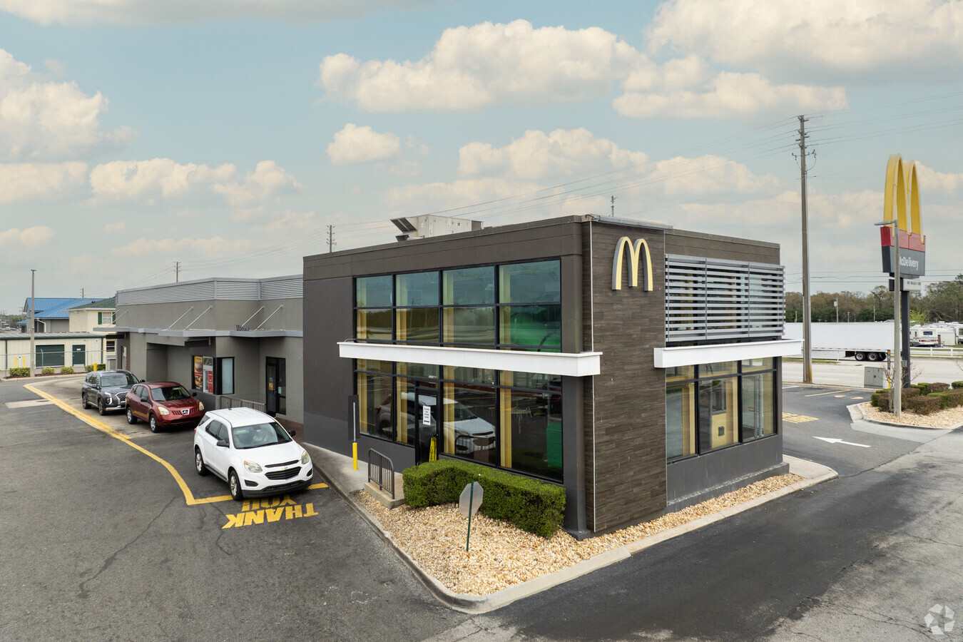
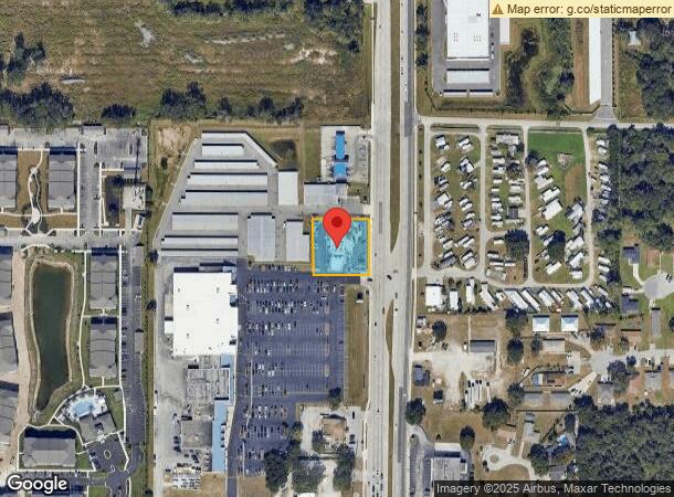
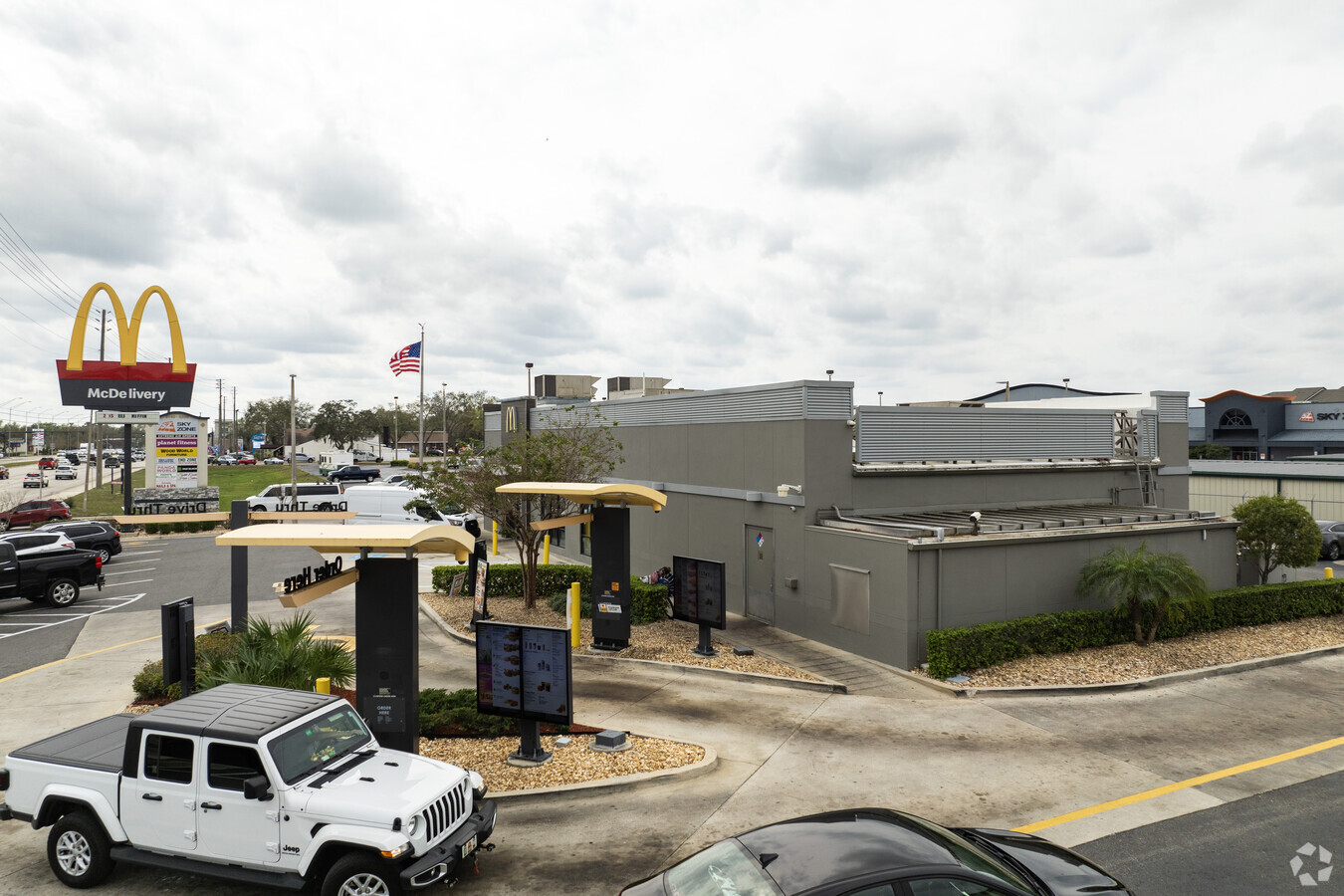
6330 Us Highway 98 N, Lakeland, FL 33809
NEARBY LISTINGS FOR SALE OR LEASE
Property Detail
6330 Us Highway 98 N
23-27-23-000000-012020
Cataloma Acres
Restaurantdrivein
COMM SE COR OF SE1/4 OF NE1/4 RUN N 853.93 FT W 41.93 FT TO W R/W U S 98 FOR POB RUN N 175 FT W 175 FT S 175 FT E 175 FT TO POB
X
Polk
12105C0301G
Florida
2023
0.70 AC
2023
Polk County
012113
Tampa/St Petersburg
5,583 SF
Lakeland-Winter Haven, FL
DEMOGRAPHICS near 6330 Us Highway 98 N
1 Mile
3 Mile
5 Mile
2024 Total Population
6,070
60,813
105,998
2029 Population
7,199
72,378
126,495
Pop Growth 2024-2029
+ 18.60%
+ 19.02%
+ 19.34%
Average Age
43
41
41
2024 Total Households
2,394
24,012
40,614
HH Growth 2024-2029
+ 18.59%
+ 18.96%
+ 19.27%
Median Household Inc
$62,414
$61,120
$57,422
Avg Household Size
2.50
2.50
2.50
2024 Avg HH Vehicles
2.00
2.00
2.00
Median Home Value
$217,857
$221,555
$207,905
Median Year Built
1987
1993
1992
Nearby Places
- Restaurants
- Banks
- Shops
- Fitness
- Groceries
PUBLIC TRANSPORTATION
COMMUTER RAIL
Lakeland (Silver Star - Amtrak)
DRIVE
WALK
Distance
Lakeland (Silver Star - Amtrak)
12 min
6.2 mi
Freight Ports
Port of Tampa Bay
DRIVE
WALK
Distance
Port of Tampa Bay
48 min
36.6 mi
Nearby Properties
Address
Land Use
TOTAL SIZE
Lot Size
Zoning
Address
Land Use
TOTAL SIZE
Lot Size
Zoning
493,501 SF
39.01 AC
MF12
Address
Land Use
TOTAL SIZE
Lot Size
Zoning
363,693 SF
22.54 AC
R2
Address
Land Use
TOTAL SIZE
Lot Size
Zoning
470,032 SF
23.21 AC
Address
Land Use
TOTAL SIZE
Lot Size
Zoning
1,091,160 SF
133.41 AC
PUD
Address
Land Use
TOTAL SIZE
Lot Size
Zoning
246,838 SF
24.57 AC
PUD
Address
Land Use
TOTAL SIZE
Lot Size
Zoning
208,898 SF
17.62 AC
PUD
Address
Land Use
TOTAL SIZE
Lot Size
Zoning
755,629 SF
24.95 AC
PUD
Address
Land Use
TOTAL SIZE
Lot Size
Zoning
169,546 SF
14.40 AC
PUD
Address
Land Use
TOTAL SIZE
Lot Size
Zoning
115,608 SF
11.44 AC
RC
Address
Land Use
TOTAL SIZE
Lot Size
Zoning
425,986 SF
45.72 AC
C5
Address
Land Use
TOTAL SIZE
Lot Size
Zoning
171,525 SF
40.58 AC
RC
Address
Land Use
TOTAL SIZE
Lot Size
Zoning
324,191 SF
23.37 AC
PUD
Address
Land Use
TOTAL SIZE
Lot Size
Zoning
142,936 SF
26.38 AC
Address
Land Use
TOTAL SIZE
Lot Size
Zoning
226,953 SF
34.42 AC
Address
Land Use
TOTAL SIZE
Lot Size
Zoning
156,987 SF
51.52 AC
Address
Land Use
TOTAL SIZE
Lot Size
Zoning
226,634 SF
27.20 AC
C3
Address
Land Use
TOTAL SIZE
Lot Size
Zoning
101,501 SF
16.54 AC
Address
Land Use
TOTAL SIZE
Lot Size
Zoning
149,871 SF
7.45 AC
PUD
Address
Land Use
TOTAL SIZE
Lot Size
Zoning
132,752 SF
6.49 AC
MF22
Address
Land Use
TOTAL SIZE
Lot Size
Zoning
118,250 SF
23.12 AC
Address
Land Use
TOTAL SIZE
Lot Size
Zoning
152,004 SF
15.81 AC
PUD
Address
Land Use
TOTAL SIZE
Lot Size
Zoning
206,724 SF
66.04 AC
RC
Address
Land Use
TOTAL SIZE
Lot Size
Zoning
75,493 SF
8.91 AC
Address
Land Use
TOTAL SIZE
Lot Size
Zoning
89,879 SF
13.48 AC
C4
Address
Land Use
TOTAL SIZE
Lot Size
Zoning
64,563 SF
5.48 AC
Address
Land Use
TOTAL SIZE
Lot Size
Zoning
183,800 SF
19.26 AC
Address
Land Use
TOTAL SIZE
Lot Size
Zoning
77,675 SF
5.23 AC
Address
Land Use
TOTAL SIZE
Lot Size
Zoning
92,288 SF
7.10 AC
MF12
Address
Land Use
TOTAL SIZE
Lot Size
Zoning
221,600 SF
45.53 AC
PUD
Address
Land Use
TOTAL SIZE
Lot Size
Zoning
42,557 SF
26.12 AC
The World's #1 Commercial Real Estate Marketplace
Connect with us
© 2025 CoStar Group
The information above has been obtained from sources believed reliable. While we do not doubt its accuracy we have not verified it and make no guarantee, warranty or representation about it. It is your responsibility to independently confirm its accuracy and completeness. Any projections, opinions, assumptions, or estimates used are for example only and do not represent the current or future performance of the property. The value of this transaction to you depends on tax and other factors which should be evaluated by your tax, financial, and legal advisors. You and your advisors should conduct a careful, independent investigation of the property to determine to your satisfaction the suitability of the property for your needs.