Property Record
635 Noles Dr, Mount Holly, NC 28120


Property Detail
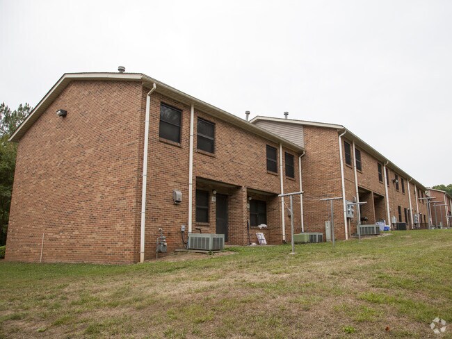
635 Noles Dr
124623
03 020 009 01 000
Charitableorganization
Gaston
OFF01
North Carolina
B and X Area of moderate flood hazard, usually the area between the limits of the 100-year and 500-year floods.
8.09 AC
0
Outlying Gaston County
2025
Charlotte
0311012005
Charlotte-Concord-Gastonia, NC-SC
1,671 SF
NEARBY LISTINGS FOR SALE OR LEASE
-
-
View all Mount Holly listings for sale on LoopNet.com
DEMOGRAPHICS near 635 Noles Dr
1 mile
3 mile
5 mile
2025 Total Population
4,108
32,093
77,853
2030 Population
4,281
33,939
83,240
Pop Growth 2025-2030
+ 4.21%
+ 5.75%
+ 6.92%
Average Age
40
39
39
2025 Total Households
1,674
12,601
30,625
HH Growth 2025-2030
+ 4.48%
+ 5.90%
+ 7.02%
Median Household Inc
$73,635
$73,628
$78,607
Avg Household Size
2.40
2.50
2.50
2025 Avg HH Vehicles
2.00
2.00
2.00
Median Home Value
$288,150
$303,580
$330,744
Median Year Built
1985
1990
1994
Nearby Places
Map Layers
Map Styles
 Street
 Aerial
Layers
 Traffic
 Biking
Places
Listings with unknown addresses are not visible on the map
- Restaurants
- Banks
- Shops
- Fitness
- Groceries
PUBLIC TRANSPORTATION
AIRPORT
Charlotte/Douglas International
Drive
Walk
Distance
Charlotte/Douglas International
26 min
11.9 mi
Concord-Padgett Regional
Drive
Walk
Distance
Concord-Padgett Regional
32 min
21.5 mi
Freight Ports
North Charleston Terminal
Drive
Walk
Distance
North Charleston Terminal
238 min
207.8 mi
Nearby Properties
Address
Land Use
TOTAL SIZE
Lot Size
Zoning
Address
Land Use
TOTAL SIZE
Lot Size
Zoning
1,966 SF
36.06 AC
OFF01
Address
Land Use
TOTAL SIZE
Lot Size
Zoning
437,434 SF
150.02 AC
MANU1
Address
Land Use
TOTAL SIZE
Lot Size
Zoning
25.64 AC
Address
Land Use
TOTAL SIZE
Lot Size
Zoning
208,635 SF
50.01 AC
Address
Land Use
TOTAL SIZE
Lot Size
Zoning
171,037 SF
4.37 AC
Address
Land Use
TOTAL SIZE
Lot Size
Zoning
13,090 SF
93.97 AC
INDS2
Address
Land Use
TOTAL SIZE
Lot Size
Zoning
25.14 AC
Address
Land Use
TOTAL SIZE
Lot Size
Zoning
3,536 SF
12.07 AC
APT02
Address
Land Use
TOTAL SIZE
Lot Size
Zoning
6,720 SF
60.15 AC
PUB01
Address
Land Use
TOTAL SIZE
Lot Size
Zoning
426,374 SF
17.13 AC
INDS2
Address
Land Use
TOTAL SIZE
Lot Size
Zoning
75,208 SF
15.55 AC
R-3
Address
Land Use
TOTAL SIZE
Lot Size
Zoning
8,512 SF
102.15 AC
R-3
Address
Land Use
TOTAL SIZE
Lot Size
Zoning
58,553 SF
7.78 AC
B1CD
Address
Land Use
TOTAL SIZE
Lot Size
Zoning
102,500 SF
117.14 AC
INDS1
Address
Land Use
TOTAL SIZE
Lot Size
Zoning
968 SF
6.46 AC
OFF01
Address
Land Use
TOTAL SIZE
Lot Size
Zoning
20.02 AC
R-12MF(CD)
Address
Land Use
TOTAL SIZE
Lot Size
Zoning
Address
Land Use
TOTAL SIZE
Lot Size
Zoning
44,244 SF
8.21 AC
Address
Land Use
TOTAL SIZE
Lot Size
Zoning
112 AC
R-3
Address
Land Use
TOTAL SIZE
Lot Size
Zoning
368,527 SF
329.43 AC
Address
Land Use
TOTAL SIZE
Lot Size
Zoning
58,486 SF
3.40 AC
INDS1
Address
Land Use
TOTAL SIZE
Lot Size
Zoning
18,400 SF
16.65 AC
PUB01
Address
Land Use
TOTAL SIZE
Lot Size
Zoning
27,161 SF
50.16 AC
Address
Land Use
TOTAL SIZE
Lot Size
Zoning
2,056 SF
13.35 AC
APT01
Address
Land Use
TOTAL SIZE
Lot Size
Zoning
88,820 SF
15.61 AC
PUB01
Address
Land Use
TOTAL SIZE
Lot Size
Zoning
40,143 SF
2.47 AC
Address
Land Use
TOTAL SIZE
Lot Size
Zoning
5,526 SF
3.65 AC
APT01
Address
Land Use
TOTAL SIZE
Lot Size
Zoning
41,748 SF
26.90 AC
Address
Land Use
TOTAL SIZE
Lot Size
Zoning
59,374 SF
28.56 AC
PUB01
The World's #1 Commercial Real Estate Marketplace
Connect with us
© 2026 CoStar Group
The information above has been obtained from sources believed reliable. While we do not doubt its accuracy we have not verified it and make no guarantee, warranty or representation about it. It is your responsibility to independently confirm its accuracy and completeness. Any projections, opinions, assumptions, or estimates used are for example only and do not represent the current or future performance of the property. The value of this transaction to you depends on tax and other factors which should be evaluated by your tax, financial, and legal advisors. You and your advisors should conduct a careful, independent investigation of the property to determine to your satisfaction the suitability of the property for your needs.