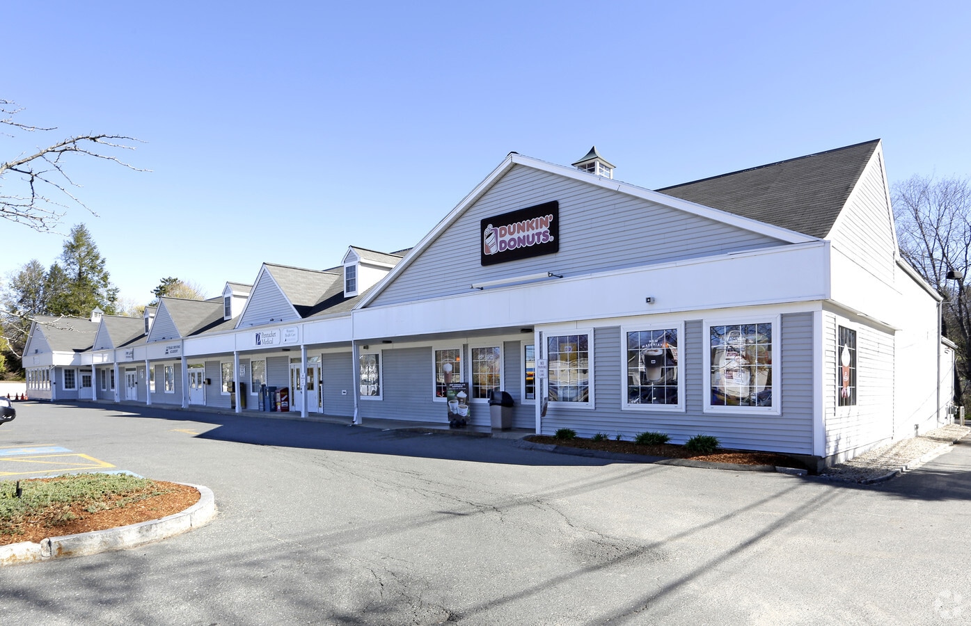
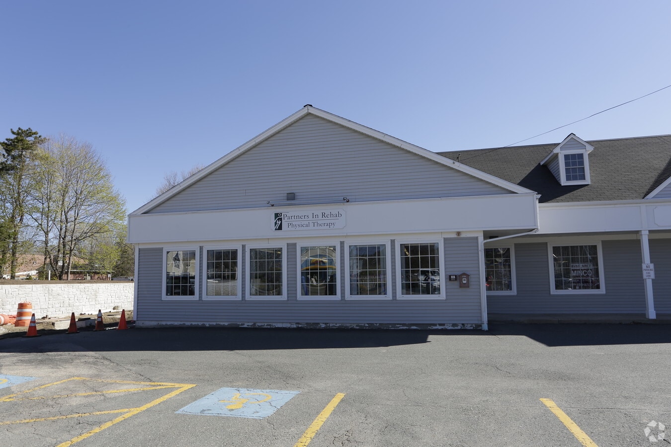
Property Record
64 E Main St, Georgetown, MA 01833

NEARBY LISTINGS FOR SALE OR LEASE
Property Detail
64 E Main St
GEOR-000011A-000000-000000-000085-000085
Essex
Departmentstore
Massachusetts
AE
85
25009C0251F
2.68 AC
2024
Amesbury/Ipswich
2024
Boston
265102
Boston-Cambridge-Newton, MA-NH
24,965 SF
DEMOGRAPHICS near 64 E Main St
1 Mile
3 Mile
5 Mile
2024 Total Population
3,479
15,687
41,708
2029 Population
3,459
15,596
41,503
Pop Growth 2024-2029
(0.57%)
(0.58%)
(0.49%)
Average Age
41
42
43
2024 Total Households
1,251
5,688
15,048
HH Growth 2024-2029
(0.80%)
(0.76%)
(0.64%)
Median Household Inc
$128,987
$137,632
$138,472
Avg Household Size
2.70
2.70
2.70
2024 Avg HH Vehicles
2.00
2.00
2.00
Median Home Value
$516,393
$609,870
$616,807
Median Year Built
1970
1975
1975
Nearby Places
- Restaurants
- Banks
- Shops
- Fitness
- Groceries
PUBLIC TRANSPORTATION
COMMUTER RAIL
Haverhill (Haverhill Line - Massachusetts Bay Transportation Authority Commuter Rail (Purple Line))
DRIVE
WALK
Distance
Haverhill (Haverhill Line - Massachusetts Bay Transportation Authority Commuter Rail (Purple Line))
18 min
7.2 mi
Bradford (Haverhill Line - Massachusetts Bay Transportation Authority Commuter Rail (Purple Line))
DRIVE
WALK
Distance
Bradford (Haverhill Line - Massachusetts Bay Transportation Authority Commuter Rail (Purple Line))
20 min
7.6 mi
AIRPORT
Logan International
DRIVE
WALK
Distance
Logan International
42 min
28.3 mi
Manchester–Boston Regional
DRIVE
WALK
Distance
Manchester–Boston Regional
60 min
40.2 mi
SALE & LEASE HISTORY
LISTING DATE
SALE/LEASE

Sep 24, 2016
For Lease
May 15, 2019
For Lease
Nearby Properties
Address
Land Use
TOTAL SIZE
Lot Size
Zoning
Address
Land Use
TOTAL SIZE
Lot Size
Zoning
Address
Land Use
TOTAL SIZE
Lot Size
Zoning
140,624 SF
26.21 AC
Address
Land Use
TOTAL SIZE
Lot Size
Zoning
53.50 AC
C
Address
Land Use
TOTAL SIZE
Lot Size
Zoning
385,746 SF
7.79 AC
Address
Land Use
TOTAL SIZE
Lot Size
Zoning
92,931 SF
24.53 AC
RB
Address
Land Use
TOTAL SIZE
Lot Size
Zoning
76,842 SF
12.38 AC
Address
Land Use
TOTAL SIZE
Lot Size
Zoning
64,162 SF
47.95 AC
Address
Land Use
TOTAL SIZE
Lot Size
Zoning
4,818 SF
12.90 AC
Address
Land Use
TOTAL SIZE
Lot Size
Zoning
8,649 SF
47 AC
Address
Land Use
TOTAL SIZE
Lot Size
Zoning
46,280 SF
7.80 AC
Address
Land Use
TOTAL SIZE
Lot Size
Zoning
65,044 SF
10.37 AC
Address
Land Use
TOTAL SIZE
Lot Size
Zoning
53,709 SF
5.81 AC
Address
Land Use
TOTAL SIZE
Lot Size
Zoning
118.81 AC
Address
Land Use
TOTAL SIZE
Lot Size
Zoning
59,440 SF
8.65 AC
Address
Land Use
TOTAL SIZE
Lot Size
Zoning
240 AC
RA
Address
Land Use
TOTAL SIZE
Lot Size
Zoning
83,743 SF
6 AC
Address
Land Use
TOTAL SIZE
Lot Size
Zoning
25,371 SF
3.54 AC
Address
Land Use
TOTAL SIZE
Lot Size
Zoning
21,245 SF
1.81 AC
Address
Land Use
TOTAL SIZE
Lot Size
Zoning
55.15 AC
Address
Land Use
TOTAL SIZE
Lot Size
Zoning
476.30 AC
RA
Address
Land Use
TOTAL SIZE
Lot Size
Zoning
49,730 SF
6.61 AC
Address
Land Use
TOTAL SIZE
Lot Size
Zoning
220.90 AC
RA
Address
Land Use
TOTAL SIZE
Lot Size
Zoning
30,601 SF
4.40 AC
Address
Land Use
TOTAL SIZE
Lot Size
Zoning
30,601 SF
8 AC
Address
Land Use
TOTAL SIZE
Lot Size
Zoning
30,601 SF
3.93 AC
Address
Land Use
TOTAL SIZE
Lot Size
Zoning
2.16 AC
Address
Land Use
TOTAL SIZE
Lot Size
Zoning
16,059 SF
1.10 AC
Address
Land Use
TOTAL SIZE
Lot Size
Zoning
5.10 AC
Address
Land Use
TOTAL SIZE
Lot Size
Zoning
17,540 SF
7.21 AC
The World's #1 Commercial Real Estate Marketplace
Connect with us
© 2025 CoStar Group
The information above has been obtained from sources believed reliable. While we do not doubt its accuracy we have not verified it and make no guarantee, warranty or representation about it. It is your responsibility to independently confirm its accuracy and completeness. Any projections, opinions, assumptions, or estimates used are for example only and do not represent the current or future performance of the property. The value of this transaction to you depends on tax and other factors which should be evaluated by your tax, financial, and legal advisors. You and your advisors should conduct a careful, independent investigation of the property to determine to your satisfaction the suitability of the property for your needs.