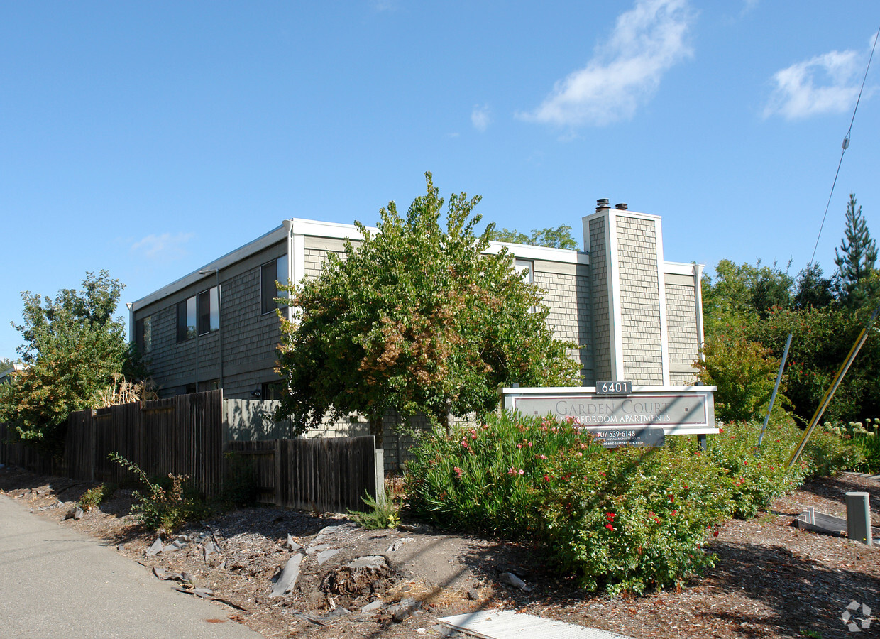
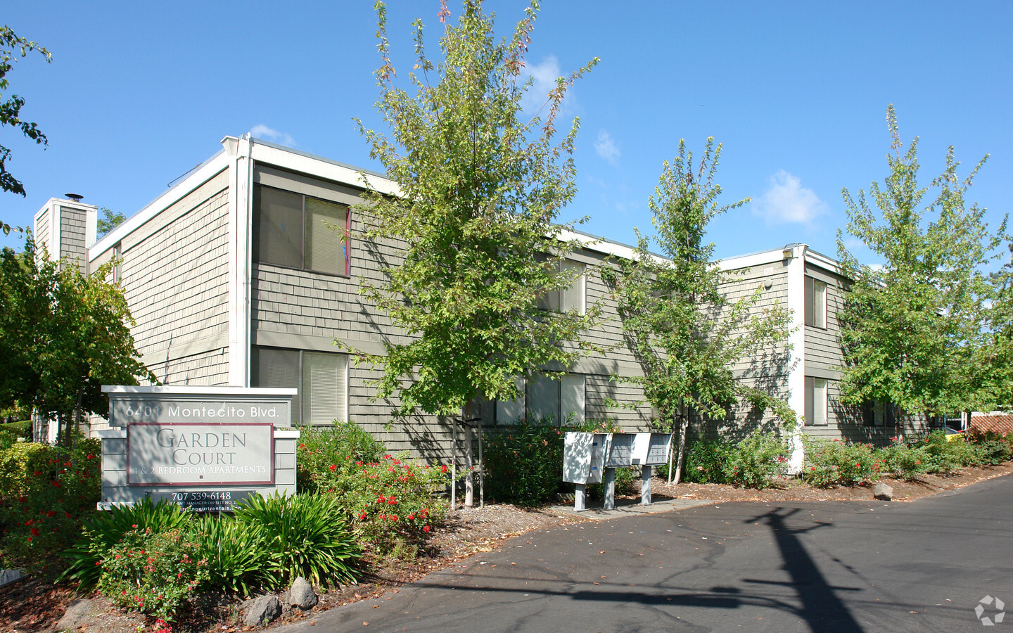
Property Record
6401 Montecito Blvd, Santa Rosa, CA 95409
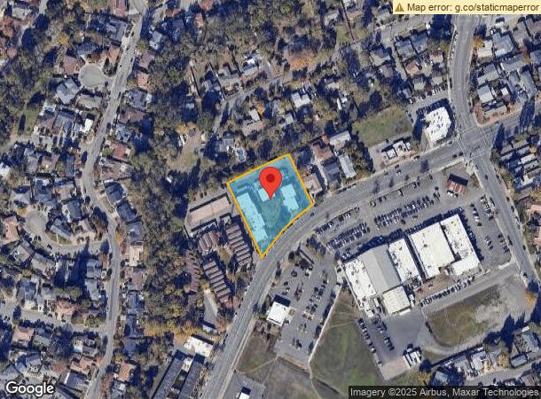

NEARBY LISTINGS FOR SALE OR LEASE
Property Detail
6401 Montecito Blvd
Santa Rosa, CA
Montecito Vlg
182-130-005
REMAP 032-240-008 08/11/98 LT 140 MONTECITO VLG #1
Apartment
Sonoma
X
California
06097C0731E
140
2023
1.25 AC
2023
Outer Santa Rosa
1522024006
North Bay/Santa Rosa
22,992 SF
DEMOGRAPHICS near 6401 Montecito Blvd
1 Mile
3 Mile
5 Mile
2024 Total Population
11,429
64,756
159,765
2029 Population
11,350
64,540
159,122
Pop Growth 2024-2029
(0.69%)
(0.33%)
(0.40%)
Average Age
44
46
42
2024 Total Households
4,608
26,803
60,954
HH Growth 2024-2029
(0.76%)
(0.28%)
(0.39%)
Median Household Inc
$94,135
$103,637
$91,784
Avg Household Size
2.40
2.30
2.50
2024 Avg HH Vehicles
2.00
2.00
2.00
Median Home Value
$747,786
$804,105
$744,029
Median Year Built
1978
1974
1978
Nearby Places
- Restaurants
- Banks
- Shops
- Fitness
- Groceries
PUBLIC TRANSPORTATION
COMMUTER RAIL
Santa Rosa North Smart (Main Line - Sonoma Marin Area Rail Transit)
DRIVE
WALK
Distance
Santa Rosa North Smart (Main Line - Sonoma Marin Area Rail Transit)
10 min
4.6 mi
Santa Rosa Downtown Smart (Main Line - Sonoma Marin Area Rail Transit)
DRIVE
WALK
Distance
Santa Rosa Downtown Smart (Main Line - Sonoma Marin Area Rail Transit)
9 min
4.7 mi
AIRPORT
Charles M Schulz - Sonoma County
DRIVE
WALK
Distance
Charles M Schulz - Sonoma County
18 min
9.3 mi
Freight Ports
Port of Richmond
DRIVE
WALK
Distance
Port of Richmond
69 min
52.8 mi
Nearby Properties
Address
Land Use
TOTAL SIZE
Lot Size
Zoning
Address
Land Use
TOTAL SIZE
Lot Size
Zoning
695,457 SF
128.68 AC
CITYSR
Address
Land Use
TOTAL SIZE
Lot Size
Zoning
258,134 SF
7.42 AC
CITYSR
Address
Land Use
TOTAL SIZE
Lot Size
Zoning
22.45 AC
MCPD
Address
Land Use
TOTAL SIZE
Lot Size
Zoning
434,911 SF
30.22 AC
Address
Land Use
TOTAL SIZE
Lot Size
Zoning
Address
Land Use
TOTAL SIZE
Lot Size
Zoning
227,411 SF
9.23 AC
Address
Land Use
TOTAL SIZE
Lot Size
Zoning
131,210 SF
10.41 AC
Address
Land Use
TOTAL SIZE
Lot Size
Zoning
131,974 SF
9.77 AC
PC
Address
Land Use
TOTAL SIZE
Lot Size
Zoning
119,819 SF
7.37 AC
CITYSR
Address
Land Use
TOTAL SIZE
Lot Size
Zoning
90,079 SF
3.09 AC
Address
Land Use
TOTAL SIZE
Lot Size
Zoning
107,765 SF
5.70 AC
CITYSR
Address
Land Use
TOTAL SIZE
Lot Size
Zoning
191,385 SF
13.77 AC
C2P
Address
Land Use
TOTAL SIZE
Lot Size
Zoning
89,168 SF
5.50 AC
CITYSR
Address
Land Use
TOTAL SIZE
Lot Size
Zoning
122,645 SF
9.46 AC
CITYSR
Address
Land Use
TOTAL SIZE
Lot Size
Zoning
29,397 SF
6.33 AC
Address
Land Use
TOTAL SIZE
Lot Size
Zoning
58,551 SF
4.24 AC
Address
Land Use
TOTAL SIZE
Lot Size
Zoning
181,593 SF
6.71 AC
R3PD
Address
Land Use
TOTAL SIZE
Lot Size
Zoning
161,466 SF
13.82 AC
CITYSR
Address
Land Use
TOTAL SIZE
Lot Size
Zoning
33,698 SF
2.94 AC
CITYSR
Address
Land Use
TOTAL SIZE
Lot Size
Zoning
131,502 SF
8.60 AC
Address
Land Use
TOTAL SIZE
Lot Size
Zoning
128,092 SF
7.12 AC
Address
Land Use
TOTAL SIZE
Lot Size
Zoning
56,151 SF
4.21 AC
Address
Land Use
TOTAL SIZE
Lot Size
Zoning
62,088 SF
3.80 AC
PC
Address
Land Use
TOTAL SIZE
Lot Size
Zoning
1.94 AC
CITYSR
Address
Land Use
TOTAL SIZE
Lot Size
Zoning
78,155 SF
6.57 AC
CITYSR
Address
Land Use
TOTAL SIZE
Lot Size
Zoning
2.04 AC
CITYSR
Address
Land Use
TOTAL SIZE
Lot Size
Zoning
52,150 SF
1.30 AC
R330
Address
Land Use
TOTAL SIZE
Lot Size
Zoning
112,845 SF
6.39 AC
PC
Address
Land Use
TOTAL SIZE
Lot Size
Zoning
57,332 SF
5.37 AC
CITYSR
Address
Land Use
TOTAL SIZE
Lot Size
Zoning
39,659 SF
4.60 AC
CITYSR
The World's #1 Commercial Real Estate Marketplace
Connect with us
© 2025 CoStar Group
The information above has been obtained from sources believed reliable. While we do not doubt its accuracy we have not verified it and make no guarantee, warranty or representation about it. It is your responsibility to independently confirm its accuracy and completeness. Any projections, opinions, assumptions, or estimates used are for example only and do not represent the current or future performance of the property. The value of this transaction to you depends on tax and other factors which should be evaluated by your tax, financial, and legal advisors. You and your advisors should conduct a careful, independent investigation of the property to determine to your satisfaction the suitability of the property for your needs.