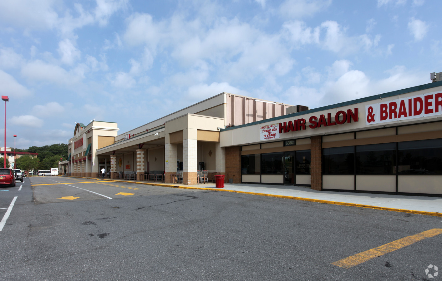
Property Record
6420 Coventry Way, Clinton, MD 20735


NEARBY LISTINGS FOR SALE OR LEASE
Property Detail
6420 Coventry Way
Washington-Arlington-Alexandria, DC-VA-MD-WV
Parcels D & F And Street Dedication Of C
09-0915710
PARCEL F (PT PAR F 11000 SF FR 09 15736 99 PER OWR & SUP 9
Supermarket
Prince George's
X
Maryland
24033C0245E
f
2024
9.12 AC
2024
Branch Avenue Corridor
801211
Washington, DC
100,660 SF
DEMOGRAPHICS near 6420 Coventry Way
1 Mile
3 Mile
5 Mile
2024 Total Population
6,189
51,047
161,830
2029 Population
6,002
49,677
157,706
Pop Growth 2024-2029
(3.02%)
(2.68%)
(2.55%)
Average Age
42
43
41
2024 Total Households
2,187
17,696
60,702
HH Growth 2024-2029
(3.20%)
(2.81%)
(2.63%)
Median Household Inc
$105,930
$109,719
$94,116
Avg Household Size
2.80
2.80
2.60
2024 Avg HH Vehicles
2.00
2.00
2.00
Median Home Value
$351,648
$372,128
$362,974
Median Year Built
1979
1979
1977
Nearby Places
- Restaurants
- Banks
- Shops
- Fitness
- Groceries
PUBLIC TRANSPORTATION
AIRPORT
Ronald Reagan Washington Ntl
DRIVE
WALK
Distance
Ronald Reagan Washington Ntl
27 min
15.3 mi
Baltimore/Washington International Thurgood Marshall
DRIVE
WALK
Distance
Baltimore/Washington International Thurgood Marshall
54 min
37.6 mi
Freight Ports
Port of Baltimore
DRIVE
WALK
Distance
Port of Baltimore
64 min
44.2 mi
SALE & LEASE HISTORY
LISTING DATE
SALE/LEASE

Nov 21, 2019
For Lease
Nearby Properties
Address
Land Use
TOTAL SIZE
Lot Size
Zoning
Address
Land Use
TOTAL SIZE
Lot Size
Zoning
963,250 SF
10.71 AC
RTOLE
Address
Land Use
TOTAL SIZE
Lot Size
Zoning
203.33 AC
IE
Address
Land Use
TOTAL SIZE
Lot Size
Zoning
353,064 SF
53.19 AC
CGO
Address
Land Use
TOTAL SIZE
Lot Size
Zoning
111.87 AC
IE
Address
Land Use
TOTAL SIZE
Lot Size
Zoning
98.14 AC
IE
Address
Land Use
TOTAL SIZE
Lot Size
Zoning
73.26 AC
IE
Address
Land Use
TOTAL SIZE
Lot Size
Zoning
341,372 SF
14.74 AC
RR
Address
Land Use
TOTAL SIZE
Lot Size
Zoning
117.45 AC
IE
Address
Land Use
TOTAL SIZE
Lot Size
Zoning
124.59 AC
IE
Address
Land Use
TOTAL SIZE
Lot Size
Zoning
223,219 SF
22 AC
CGO
Address
Land Use
TOTAL SIZE
Lot Size
Zoning
74.38 AC
IE
Address
Land Use
TOTAL SIZE
Lot Size
Zoning
111.72 AC
IE
Address
Land Use
TOTAL SIZE
Lot Size
Zoning
269.41 AC
IE
Address
Land Use
TOTAL SIZE
Lot Size
Zoning
157.68 AC
IE
Address
Land Use
TOTAL SIZE
Lot Size
Zoning
138.27 AC
IE
Address
Land Use
TOTAL SIZE
Lot Size
Zoning
250.35 AC
IE
Address
Land Use
TOTAL SIZE
Lot Size
Zoning
67.32 AC
IE
Address
Land Use
TOTAL SIZE
Lot Size
Zoning
174,894 SF
7.54 AC
CGO
Address
Land Use
TOTAL SIZE
Lot Size
Zoning
300,005 SF
9.94 AC
RR
Address
Land Use
TOTAL SIZE
Lot Size
Zoning
55,724 SF
10.09 AC
IE
Address
Land Use
TOTAL SIZE
Lot Size
Zoning
169.75 AC
IE
Address
Land Use
TOTAL SIZE
Lot Size
Zoning
83.26 AC
IE
Address
Land Use
TOTAL SIZE
Lot Size
Zoning
101,979 SF
2.11 AC
CGO
Address
Land Use
TOTAL SIZE
Lot Size
Zoning
200.65 AC
IE
Address
Land Use
TOTAL SIZE
Lot Size
Zoning
160,870 SF
3.75 AC
RMF48
Address
Land Use
TOTAL SIZE
Lot Size
Zoning
115,888 SF
12.36 AC
CGO
Address
Land Use
TOTAL SIZE
Lot Size
Zoning
0.72 AC
IE
Address
Land Use
TOTAL SIZE
Lot Size
Zoning
78,658 SF
9.13 AC
RR
Address
Land Use
TOTAL SIZE
Lot Size
Zoning
68,304 SF
8.09 AC
RSF95
Address
Land Use
TOTAL SIZE
Lot Size
Zoning
180.47 AC
IE
The World's #1 Commercial Real Estate Marketplace
Connect with us
© 2025 CoStar Group
The information above has been obtained from sources believed reliable. While we do not doubt its accuracy we have not verified it and make no guarantee, warranty or representation about it. It is your responsibility to independently confirm its accuracy and completeness. Any projections, opinions, assumptions, or estimates used are for example only and do not represent the current or future performance of the property. The value of this transaction to you depends on tax and other factors which should be evaluated by your tax, financial, and legal advisors. You and your advisors should conduct a careful, independent investigation of the property to determine to your satisfaction the suitability of the property for your needs.