Property Record
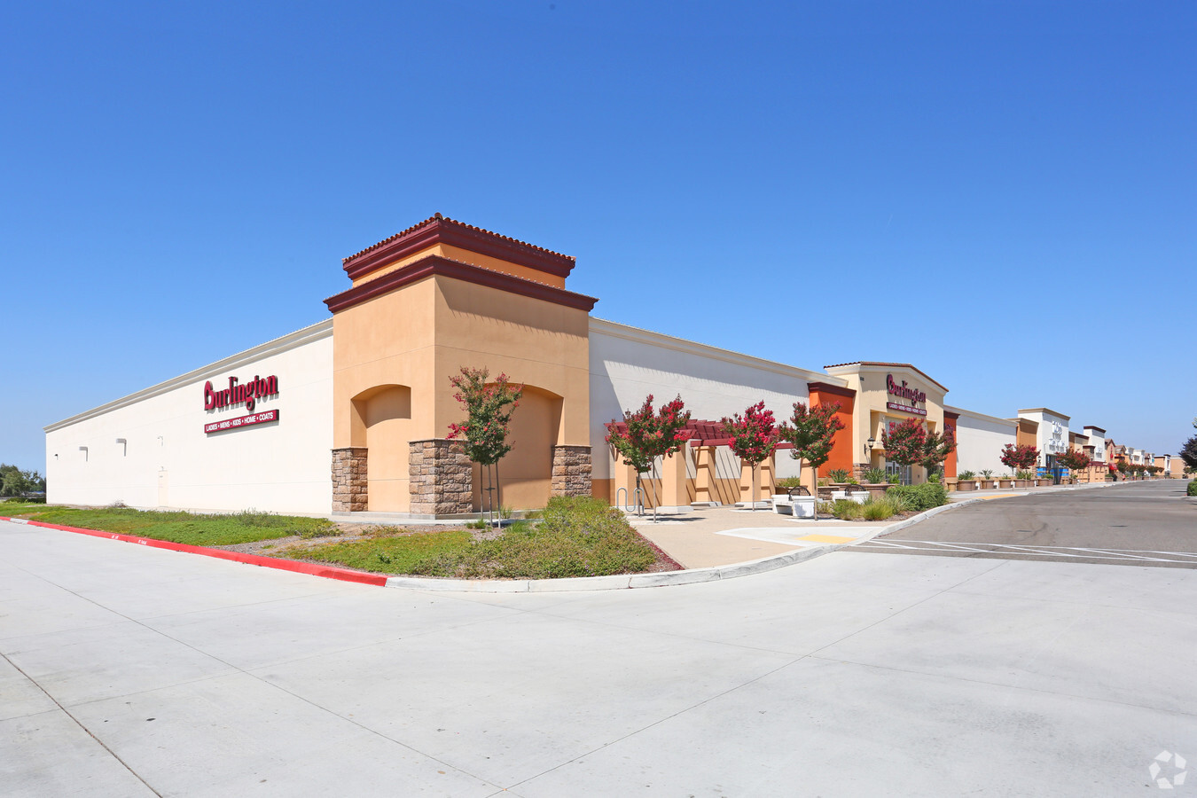
6509 N Riverside Dr, Fresno, CA 93722


NEARBY LISTINGS FOR SALE OR LEASE
Property Detail
6509 N Riverside Dr
504-092-36S
5.05 AC POR OF PAR M-N PM 2008-13 BK 71 PGS 81-89
Commercialnec
Fresno
X
California
06019C1535H
5.05 AC
2023
N Shaw/W Blackstone
2023
Fresno
004215
Fresno, CA
60,000 SF
DEMOGRAPHICS near 6509 N Riverside Dr
1 Mile
3 Mile
5 Mile
2024 Total Population
7,973
57,407
124,266
2029 Population
8,090
59,010
127,174
Pop Growth 2024-2029
+ 1.47%
+ 2.79%
+ 2.34%
Average Age
37
36
37
2024 Total Households
2,464
18,295
40,984
HH Growth 2024-2029
+ 1.46%
+ 2.73%
+ 2.32%
Median Household Inc
$98,675
$85,142
$77,345
Avg Household Size
3.20
3.10
2.90
2024 Avg HH Vehicles
3.00
2.00
2.00
Median Home Value
$386,770
$360,076
$351,754
Median Year Built
2001
1997
1991
Nearby Places
- Restaurants
- Banks
- Shops
- Fitness
- Groceries
PUBLIC TRANSPORTATION
AIRPORT
Fresno Yosemite International
DRIVE
WALK
Distance
Fresno Yosemite International
24 min
13.8 mi
Freight Ports
Port of Stockton
DRIVE
WALK
Distance
Port of Stockton
140 min
118.0 mi
Nearby Properties
Address
Land Use
TOTAL SIZE
Lot Size
Zoning
Address
Land Use
TOTAL SIZE
Lot Size
Zoning
278,502 SF
19.42 AC
SPLIT
Address
Land Use
TOTAL SIZE
Lot Size
Zoning
82,970 SF
8.19 AC
CR
Address
Land Use
TOTAL SIZE
Lot Size
Zoning
54,758 SF
8 AC
AE5
Address
Land Use
TOTAL SIZE
Lot Size
Zoning
176,228 SF
10.17 AC
R2
Address
Land Use
TOTAL SIZE
Lot Size
Zoning
150,437 SF
14.72 AC
SPLIT
Address
Land Use
TOTAL SIZE
Lot Size
Zoning
139,072 SF
11.15 AC
C3
Address
Land Use
TOTAL SIZE
Lot Size
Zoning
83,800 SF
4.04 AC
R2
Address
Land Use
TOTAL SIZE
Lot Size
Zoning
45,226 SF
2.77 AC
C2
Address
Land Use
TOTAL SIZE
Lot Size
Zoning
53,033 SF
7.09 AC
C1
Address
Land Use
TOTAL SIZE
Lot Size
Zoning
128,386 SF
8.30 AC
R2
Address
Land Use
TOTAL SIZE
Lot Size
Zoning
207,808 SF
17.59 AC
CM
Address
Land Use
TOTAL SIZE
Lot Size
Zoning
111,149 SF
8.22 AC
RM1
Address
Land Use
TOTAL SIZE
Lot Size
Zoning
57,445 SF
5.81 AC
Address
Land Use
TOTAL SIZE
Lot Size
Zoning
92,279 SF
0.01 AC
CM
Address
Land Use
TOTAL SIZE
Lot Size
Zoning
103,332 SF
6.63 AC
R2
Address
Land Use
TOTAL SIZE
Lot Size
Zoning
132,690 SF
7.86 AC
RA
Address
Land Use
TOTAL SIZE
Lot Size
Zoning
111,285 SF
10 AC
R1
Address
Land Use
TOTAL SIZE
Lot Size
Zoning
83,026 SF
5.02 AC
RM1
Address
Land Use
TOTAL SIZE
Lot Size
Zoning
50,415 SF
4.18 AC
CR
Address
Land Use
TOTAL SIZE
Lot Size
Zoning
104,157 SF
6.68 AC
R2
Address
Land Use
TOTAL SIZE
Lot Size
Zoning
72,277 SF
5.50 AC
M1
Address
Land Use
TOTAL SIZE
Lot Size
Zoning
40,340 SF
4.08 AC
CP
Address
Land Use
TOTAL SIZE
Lot Size
Zoning
38,584 SF
9.51 AC
PI/UGM
Address
Land Use
TOTAL SIZE
Lot Size
Zoning
76,986 SF
4.81 AC
R2
Address
Land Use
TOTAL SIZE
Lot Size
Zoning
75,144 SF
3.90 AC
R3
Address
Land Use
TOTAL SIZE
Lot Size
Zoning
129,681 SF
8.86 AC
R2
Address
Land Use
TOTAL SIZE
Lot Size
Zoning
55,934 SF
3.95 AC
Address
Land Use
TOTAL SIZE
Lot Size
Zoning
185,616 SF
7.92 AC
R3
Address
Land Use
TOTAL SIZE
Lot Size
Zoning
135,374 SF
8.62 AC
R2
The World's #1 Commercial Real Estate Marketplace
Connect with us
© 2025 CoStar Group
The information above has been obtained from sources believed reliable. While we do not doubt its accuracy we have not verified it and make no guarantee, warranty or representation about it. It is your responsibility to independently confirm its accuracy and completeness. Any projections, opinions, assumptions, or estimates used are for example only and do not represent the current or future performance of the property. The value of this transaction to you depends on tax and other factors which should be evaluated by your tax, financial, and legal advisors. You and your advisors should conduct a careful, independent investigation of the property to determine to your satisfaction the suitability of the property for your needs.