Property Record
6600 172Nd St Ne, Arlington, WA 98223

NEARBY LISTINGS FOR SALE OR LEASE
Property Detail
6600 172Nd St Ne
Seattle-Tacoma-Bellevue, WA
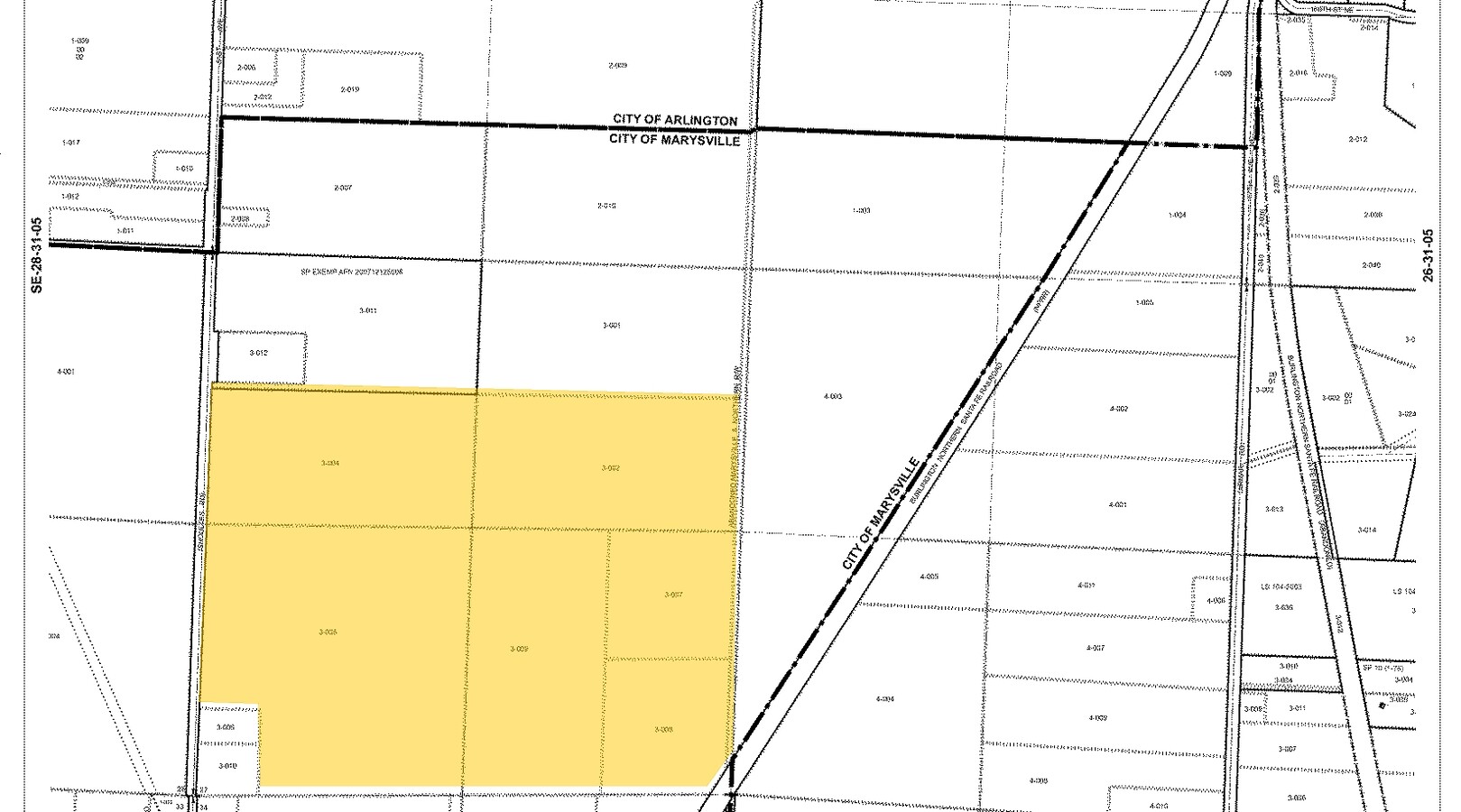
Th Ptn Of
310527-001-001-00
SEC 27 TWP 31 RGE 05 QTR NE - PAR 3 OF BLA REC AFN 200108315002 TGW N 50.99FT & E 121.02FT OF TH PTN OF PAR 2 OF SD BLA LY N OF S LN OF PAR 1 OF SD BLA PROJ ELY TO E LN OF SD PAR 2 EXC TH PTN CONVYD TO ST OF WA REC AFN 200201220940 EXC TH PTN CONVYD
Vacantlandnec
Snohomish
X
Washington
53061C0395E
1
2024
88.85 AC
2025
N Snohomish County
053509
Seattle/Puget Sound
92,728 SF
DEMOGRAPHICS near 6600 172Nd St Ne
1 Mile
3 Mile
5 Mile
2024 Total Population
2,501
36,002
70,210
2029 Population
2,625
37,578
73,289
Pop Growth 2024-2029
+ 4.96%
+ 4.38%
+ 4.39%
Average Age
37
38
39
2024 Total Households
909
12,847
25,325
HH Growth 2024-2029
+ 5.06%
+ 4.48%
+ 4.50%
Median Household Inc
$105,845
$97,496
$97,521
Avg Household Size
2.70
2.70
2.70
2024 Avg HH Vehicles
2.00
2.00
2.00
Median Home Value
$510,029
$488,411
$495,805
Median Year Built
2000
1995
1993
Nearby Places
- Restaurants
- Banks
- Shops
- Fitness
- Groceries
PUBLIC TRANSPORTATION
AIRPORT
Seattle Paine Field International
DRIVE
WALK
Distance
Seattle Paine Field International
35 min
23.5 mi
Freight Ports
Port of Everett
DRIVE
WALK
Distance
Port of Everett
25 min
16.0 mi
Nearby Properties
Address
Land Use
TOTAL SIZE
Lot Size
Zoning
Address
Land Use
TOTAL SIZE
Lot Size
Zoning
2,623,172 SF
32.78 AC
Address
Land Use
TOTAL SIZE
Lot Size
Zoning
407,929 SF
20.45 AC
R12 MFL
Address
Land Use
TOTAL SIZE
Lot Size
Zoning
543,010 SF
108.29 AC
GI
Address
Land Use
TOTAL SIZE
Lot Size
Zoning
242,217 SF
157.97 AC
AF
Address
Land Use
TOTAL SIZE
Lot Size
Zoning
3.14 AC
IP
Address
Land Use
TOTAL SIZE
Lot Size
Zoning
336,508 SF
23.32 AC
LI
Address
Land Use
TOTAL SIZE
Lot Size
Zoning
121,154 SF
144.64 AC
AF
Address
Land Use
TOTAL SIZE
Lot Size
Zoning
33,140 SF
135.95 AC
BP
Address
Land Use
TOTAL SIZE
Lot Size
Zoning
229,606 SF
9.28 AC
R18 MFM
Address
Land Use
TOTAL SIZE
Lot Size
Zoning
206,135 SF
4.05 AC
HC
Address
Land Use
TOTAL SIZE
Lot Size
Zoning
1,664 SF
16.93 AC
LI
Address
Land Use
TOTAL SIZE
Lot Size
Zoning
189,663 SF
8.21 AC
MU
Address
Land Use
TOTAL SIZE
Lot Size
Zoning
205,213 SF
8.81 AC
NC
Address
Land Use
TOTAL SIZE
Lot Size
Zoning
231,030 SF
18.48 AC
LI
Address
Land Use
TOTAL SIZE
Lot Size
Zoning
104,702 SF
4.83 AC
MS
Address
Land Use
TOTAL SIZE
Lot Size
Zoning
165,762 SF
7.12 AC
MU
Address
Land Use
TOTAL SIZE
Lot Size
Zoning
186,723 SF
5.36 AC
HC
Address
Land Use
TOTAL SIZE
Lot Size
Zoning
131,319 SF
4.72 AC
MU
Address
Land Use
TOTAL SIZE
Lot Size
Zoning
1,128 SF
40 AC
LI
Address
Land Use
TOTAL SIZE
Lot Size
Zoning
121,897 SF
1.95 AC
GC
Address
Land Use
TOTAL SIZE
Lot Size
Zoning
9.87 AC
R4.5 SFM
Address
Land Use
TOTAL SIZE
Lot Size
Zoning
117,532 SF
4.72 AC
R18 MFM
Address
Land Use
TOTAL SIZE
Lot Size
Zoning
68,424 SF
2.09 AC
HC
Address
Land Use
TOTAL SIZE
Lot Size
Zoning
259,794 SF
12.48 AC
GI
Address
Land Use
TOTAL SIZE
Lot Size
Zoning
46,272 SF
77.08 AC
AF
Address
Land Use
TOTAL SIZE
Lot Size
Zoning
8,581 SF
75.47 AC
LI
Address
Land Use
TOTAL SIZE
Lot Size
Zoning
2,432 SF
40.54 AC
P/SP
Address
Land Use
TOTAL SIZE
Lot Size
Zoning
182,316 SF
15.03 AC
HC
Address
Land Use
TOTAL SIZE
Lot Size
Zoning
70,712 SF
4 AC
GC
The World's #1 Commercial Real Estate Marketplace
Connect with us
© 2025 CoStar Group
The information above has been obtained from sources believed reliable. While we do not doubt its accuracy we have not verified it and make no guarantee, warranty or representation about it. It is your responsibility to independently confirm its accuracy and completeness. Any projections, opinions, assumptions, or estimates used are for example only and do not represent the current or future performance of the property. The value of this transaction to you depends on tax and other factors which should be evaluated by your tax, financial, and legal advisors. You and your advisors should conduct a careful, independent investigation of the property to determine to your satisfaction the suitability of the property for your needs.