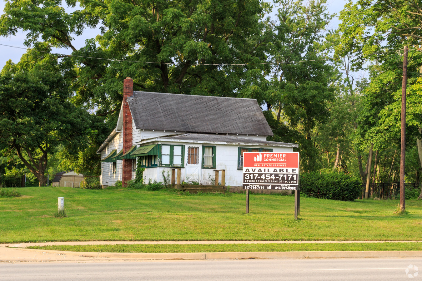
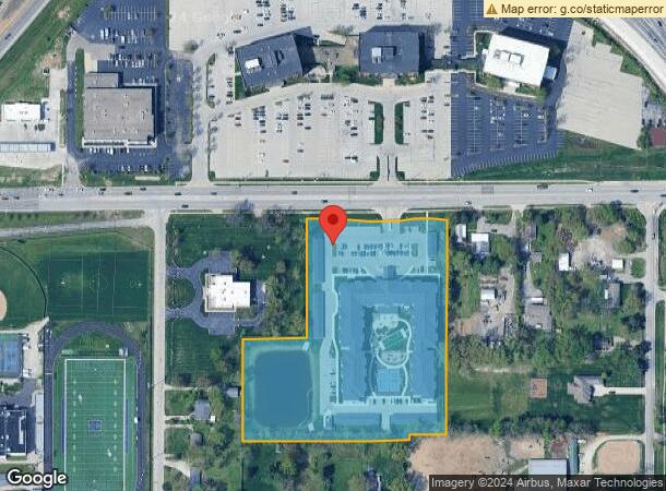
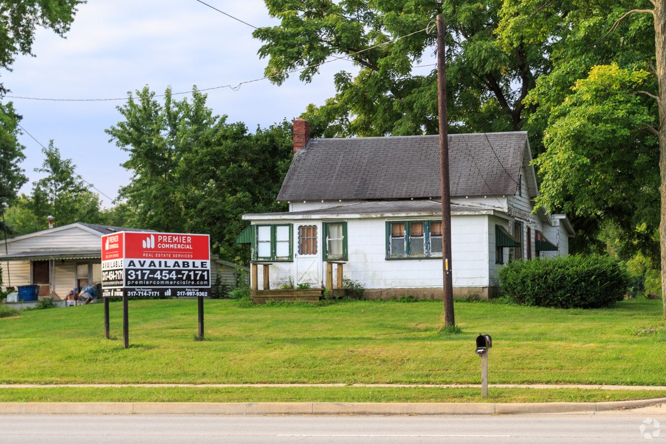
Property Record
6675 E 75Th St, Indianapolis, IN 46250
NEARBY LISTINGS FOR SALE OR LEASE
Property Detail
6675 E 75Th St
49-02-27-127-007.000-400
Avalon Trails Sub
Hospitalprivate
PT NE1/4 SE1/4 S27 T17 R4 BEG 663.52? N & 566.73? W OF SE COR W100? S14.64? W457.59? N281? E175? N329.50? E71.74? SE100.12? E75? NE51.06? E50? SE40.26? S591? TO BEG 6.497AC
X
Marion
18097C0068F
Indiana
2023
6.50 AC
2023
North Shadeland
330105
Indianapolis
177,028 SF
Indianapolis-Carmel-Anderson, IN
DEMOGRAPHICS near 6675 E 75Th St
1 Mile
3 Mile
5 Mile
2024 Total Population
7,716
52,760
180,716
2029 Population
7,605
52,082
182,720
Pop Growth 2024-2029
(1.44%)
(1.29%)
+ 1.11%
Average Age
39
40
39
2024 Total Households
3,623
24,657
78,856
HH Growth 2024-2029
(1.32%)
(1.23%)
+ 0.94%
Median Household Inc
$63,239
$68,025
$67,800
Avg Household Size
2.10
2.10
2.20
2024 Avg HH Vehicles
2.00
2.00
2.00
Median Home Value
$268,770
$251,929
$247,982
Median Year Built
1979
1980
1979
Nearby Places
- Restaurants
- Banks
- Shops
- Fitness
- Groceries
PUBLIC TRANSPORTATION
AIRPORT
Indianapolis International
DRIVE
WALK
Distance
Indianapolis International
42 min
25.3 mi
Freight Ports
Port of Toledo
DRIVE
WALK
Distance
Port of Toledo
252 min
214.5 mi
SALE & LEASE HISTORY
LISTING DATE
SALE/LEASE

Aug 17, 2017
For Sale
Nearby Properties
Address
Land Use
TOTAL SIZE
Lot Size
Zoning
Address
Land Use
TOTAL SIZE
Lot Size
Zoning
366,825 SF
26.60 AC
ZO01
Address
Land Use
TOTAL SIZE
Lot Size
Zoning
8,551 SF
45.92 AC
ZO01
Address
Land Use
TOTAL SIZE
Lot Size
Zoning
21,742 SF
39.35 AC
ZO01
Address
Land Use
TOTAL SIZE
Lot Size
Zoning
16,704 SF
109.83 AC
ZO01
Address
Land Use
TOTAL SIZE
Lot Size
Zoning
22,081 SF
27.39 AC
ZO01
Address
Land Use
TOTAL SIZE
Lot Size
Zoning
10,911 SF
11.56 AC
ZO01
Address
Land Use
TOTAL SIZE
Lot Size
Zoning
4,246 SF
89.83 AC
ZO01
Address
Land Use
TOTAL SIZE
Lot Size
Zoning
5,314 SF
13.92 AC
ZO01
Address
Land Use
TOTAL SIZE
Lot Size
Zoning
1,904 SF
67.93 AC
ZO01
Address
Land Use
TOTAL SIZE
Lot Size
Zoning
5,149 SF
10.56 AC
ZO01
Address
Land Use
TOTAL SIZE
Lot Size
Zoning
24,112 SF
5.22 AC
ZO01
Address
Land Use
TOTAL SIZE
Lot Size
Zoning
6,252 SF
52.04 AC
ZO01
Address
Land Use
TOTAL SIZE
Lot Size
Zoning
6,229 SF
36.20 AC
ZO01
Address
Land Use
TOTAL SIZE
Lot Size
Zoning
235,807 SF
12.92 AC
Address
Land Use
TOTAL SIZE
Lot Size
Zoning
6,366 SF
19.40 AC
ZO01
Address
Land Use
TOTAL SIZE
Lot Size
Zoning
143,890 SF
37.81 AC
ZO01
Address
Land Use
TOTAL SIZE
Lot Size
Zoning
24,192 SF
5.92 AC
Address
Land Use
TOTAL SIZE
Lot Size
Zoning
151,823 SF
57.54 AC
ZO01
Address
Land Use
TOTAL SIZE
Lot Size
Zoning
91,717 SF
37.30 AC
Address
Land Use
TOTAL SIZE
Lot Size
Zoning
118,729 SF
13.39 AC
ZO01
Address
Land Use
TOTAL SIZE
Lot Size
Zoning
23,452 SF
14.94 AC
ZO01
Address
Land Use
TOTAL SIZE
Lot Size
Zoning
293,429 SF
25.88 AC
ZO01
Address
Land Use
TOTAL SIZE
Lot Size
Zoning
118,439 SF
10.88 AC
ZO01
Address
Land Use
TOTAL SIZE
Lot Size
Zoning
2,256 SF
3.05 AC
ZO01
Address
Land Use
TOTAL SIZE
Lot Size
Zoning
260,937 SF
24.61 AC
ZO01
Address
Land Use
TOTAL SIZE
Lot Size
Zoning
260 SF
17.56 AC
ZO01
Address
Land Use
TOTAL SIZE
Lot Size
Zoning
6.73 AC
ZO01
Address
Land Use
TOTAL SIZE
Lot Size
Zoning
5,110 SF
27.06 AC
Address
Land Use
TOTAL SIZE
Lot Size
Zoning
155,344 SF
8.77 AC
ZO01
The World's #1 Commercial Real Estate Marketplace
Connect with us
© 2025 CoStar Group
The information above has been obtained from sources believed reliable. While we do not doubt its accuracy we have not verified it and make no guarantee, warranty or representation about it. It is your responsibility to independently confirm its accuracy and completeness. Any projections, opinions, assumptions, or estimates used are for example only and do not represent the current or future performance of the property. The value of this transaction to you depends on tax and other factors which should be evaluated by your tax, financial, and legal advisors. You and your advisors should conduct a careful, independent investigation of the property to determine to your satisfaction the suitability of the property for your needs.