Property Record
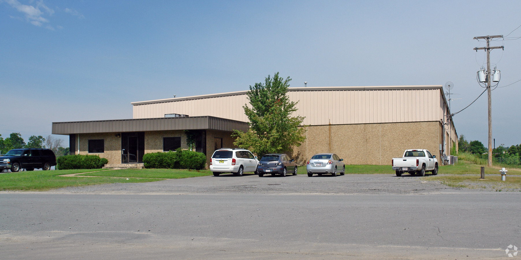
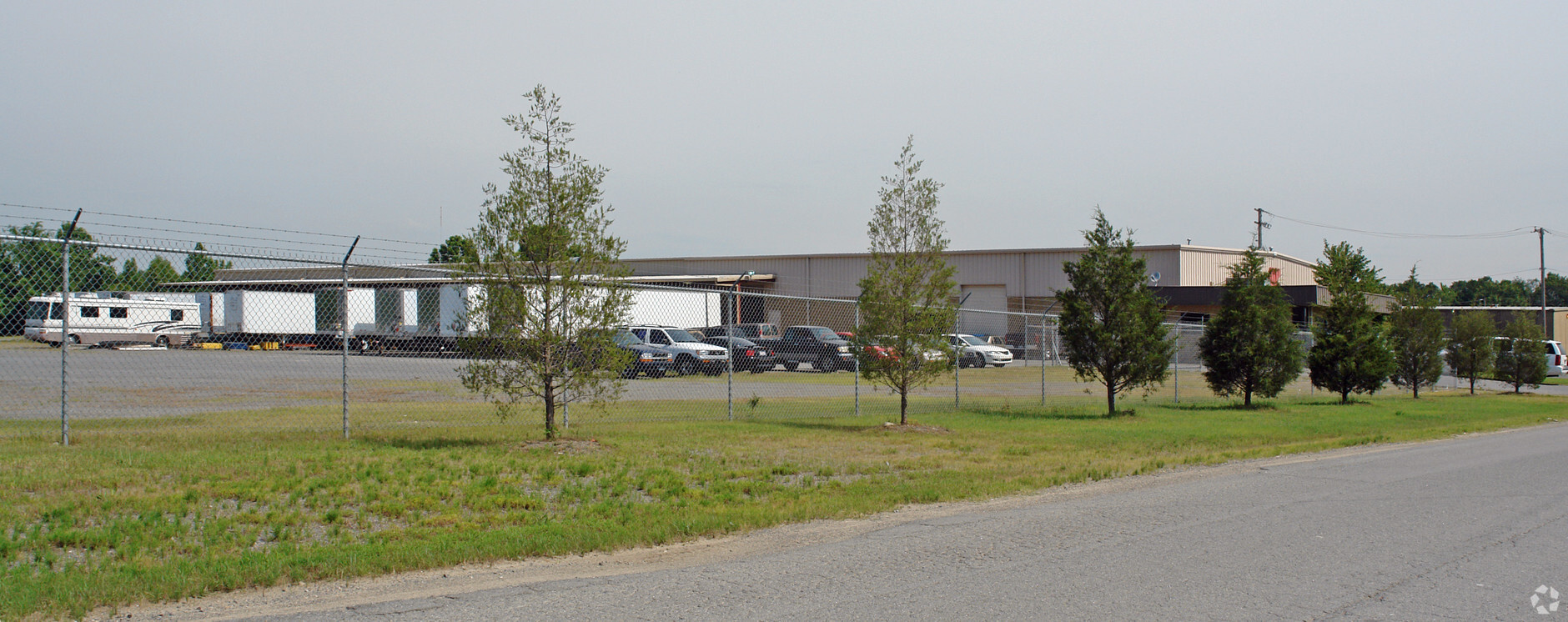
6700 Allied Way, Little Rock, AR 72209

NEARBY LISTINGS FOR SALE OR LEASE
Property Detail
6700 Allied Way
34L-353-00-014-00
PT E1/2 SW BG NW COR NE SW S40' S89*17'E1306.05' S16*16'W700' TO POB S16*16'W350' N73*44'W577.56' N9*28'E352.48' S73*44'E619.30' TO BEG 28-1N-12W
Warehouse
Pulaski
AE
Arkansas
05119C0466G
4.43 AC
2023
Southwest
2023
Little Rock/N Little Rock
004001
Little Rock-North Little Rock-Conway, AR
19,350 SF
DEMOGRAPHICS near 6700 Allied Way
1 Mile
3 Mile
5 Mile
2024 Total Population
165
26,201
93,660
2029 Population
166
26,572
94,913
Pop Growth 2024-2029
+ 0.61%
+ 1.42%
+ 1.34%
Average Age
41
36
38
2024 Total Households
65
9,762
38,696
HH Growth 2024-2029
0.00%
+ 1.53%
+ 1.51%
Median Household Inc
$55,714
$35,902
$40,073
Avg Household Size
2.30
2.50
2.20
2024 Avg HH Vehicles
2.00
2.00
2.00
Median Home Value
$170,588
$79,666
$109,797
Median Year Built
1982
1970
1969
Nearby Places
- Restaurants
- Banks
- Shops
- Fitness
- Groceries
PUBLIC TRANSPORTATION
COMMUTER RAIL
Little Rock Union Station (Texas Eagle - Amtrak)
DRIVE
WALK
Distance
Little Rock Union Station (Texas Eagle - Amtrak)
10 min
5.6 mi
AIRPORT
Bill and Hillary Clinton Ntl/Adams Field
DRIVE
WALK
Distance
Bill and Hillary Clinton Ntl/Adams Field
10 min
7.0 mi
Freight Ports
Port of Shreveport
DRIVE
WALK
Distance
Port of Shreveport
245 min
229.0 mi
Nearby Properties
Address
Land Use
TOTAL SIZE
Lot Size
Zoning
Address
Land Use
TOTAL SIZE
Lot Size
Zoning
239,345 SF
19.70 AC
Address
Land Use
TOTAL SIZE
Lot Size
Zoning
34,925 SF
12.59 AC
Address
Land Use
TOTAL SIZE
Lot Size
Zoning
41,652 SF
10.86 AC
Address
Land Use
TOTAL SIZE
Lot Size
Zoning
50,433 SF
22.23 AC
Address
Land Use
TOTAL SIZE
Lot Size
Zoning
24,492 SF
9.10 AC
Address
Land Use
TOTAL SIZE
Lot Size
Zoning
139,410 SF
8.35 AC
Address
Land Use
TOTAL SIZE
Lot Size
Zoning
6,161 SF
40.08 AC
Address
Land Use
TOTAL SIZE
Lot Size
Zoning
33,216 SF
12.59 AC
Address
Land Use
TOTAL SIZE
Lot Size
Zoning
75,900 SF
20.18 AC
Address
Land Use
TOTAL SIZE
Lot Size
Zoning
35,069 SF
43.11 AC
Address
Land Use
TOTAL SIZE
Lot Size
Zoning
272,996 SF
22.27 AC
Address
Land Use
TOTAL SIZE
Lot Size
Zoning
310,000 SF
13.21 AC
Address
Land Use
TOTAL SIZE
Lot Size
Zoning
41,291 SF
1.73 AC
Address
Land Use
TOTAL SIZE
Lot Size
Zoning
85,458 SF
9.86 AC
Address
Land Use
TOTAL SIZE
Lot Size
Zoning
10,629 SF
12 AC
Address
Land Use
TOTAL SIZE
Lot Size
Zoning
62,326 SF
9.11 AC
Address
Land Use
TOTAL SIZE
Lot Size
Zoning
573,416 SF
57.83 AC
Address
Land Use
TOTAL SIZE
Lot Size
Zoning
85,858 SF
2.62 AC
Address
Land Use
TOTAL SIZE
Lot Size
Zoning
2,881 SF
14.04 AC
Address
Land Use
TOTAL SIZE
Lot Size
Zoning
58,156 SF
4.35 AC
Address
Land Use
TOTAL SIZE
Lot Size
Zoning
1,233 SF
6.19 AC
Address
Land Use
TOTAL SIZE
Lot Size
Zoning
38,640 SF
11.48 AC
Address
Land Use
TOTAL SIZE
Lot Size
Zoning
4,407 SF
8.88 AC
Address
Land Use
TOTAL SIZE
Lot Size
Zoning
27,760 SF
9.95 AC
Address
Land Use
TOTAL SIZE
Lot Size
Zoning
4,000 SF
23.11 AC
Address
Land Use
TOTAL SIZE
Lot Size
Zoning
63,927 SF
20 AC
Address
Land Use
TOTAL SIZE
Lot Size
Zoning
14,367 SF
1,257.41 AC
Address
Land Use
TOTAL SIZE
Lot Size
Zoning
53,292 SF
9.24 AC
Address
Land Use
TOTAL SIZE
Lot Size
Zoning
2,500 SF
5.22 AC
Address
Land Use
TOTAL SIZE
Lot Size
Zoning
22,008 SF
5 AC
The World's #1 Commercial Real Estate Marketplace
Connect with us
© 2025 CoStar Group
The information above has been obtained from sources believed reliable. While we do not doubt its accuracy we have not verified it and make no guarantee, warranty or representation about it. It is your responsibility to independently confirm its accuracy and completeness. Any projections, opinions, assumptions, or estimates used are for example only and do not represent the current or future performance of the property. The value of this transaction to you depends on tax and other factors which should be evaluated by your tax, financial, and legal advisors. You and your advisors should conduct a careful, independent investigation of the property to determine to your satisfaction the suitability of the property for your needs.