Property Record
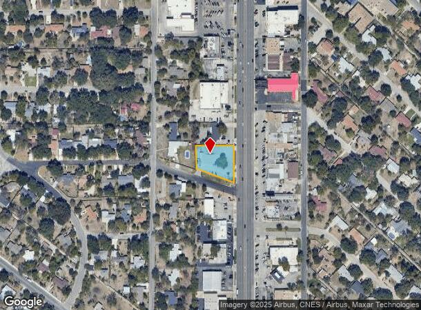
6715 San Pedro Ave, San Antonio, TX 78216
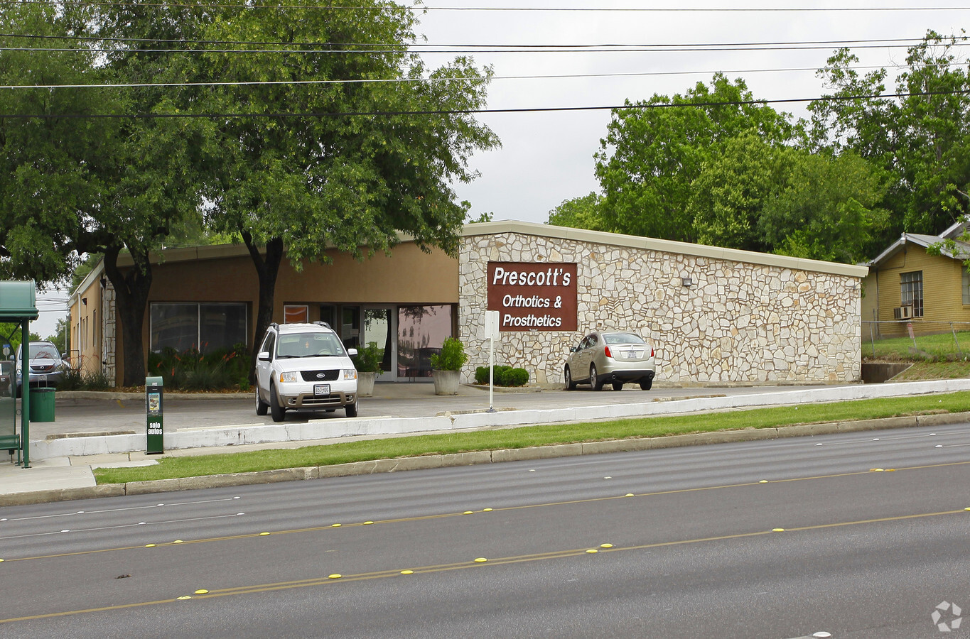
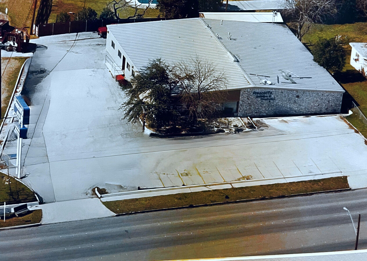
This Property Is For Sale
NEARBY LISTINGS FOR SALE OR LEASE
Property Detail
6715 San Pedro Ave
San Antonio-New Braunfels, TX
Conv A/S Code
10102-000-0090
NCB 10102 LOT S 184.47 FT OF E 187.55 OF A (ARB I) 2022- RSVY PER DEED 20210072692 EXE 3-15-2021. ASGIS07-22-2021.
Lightindustrial
Bexar
X
Texas
48029C0263H
9
2023
0.64 AC
2023
North Central
190901
San Antonio
8,015 SF
DEMOGRAPHICS near 6715 San Pedro Ave
1 Mile
3 Mile
5 Mile
2024 Total Population
12,583
114,044
330,180
2029 Population
13,377
121,095
351,873
Pop Growth 2024-2029
+ 6.31%
+ 6.18%
+ 6.57%
Average Age
39
39
39
2024 Total Households
4,942
45,203
137,478
HH Growth 2024-2029
+ 6.45%
+ 6.51%
+ 6.90%
Median Household Inc
$45,077
$55,696
$51,517
Avg Household Size
2.40
2.40
2.30
2024 Avg HH Vehicles
1.00
2.00
2.00
Median Home Value
$209,809
$228,812
$246,209
Median Year Built
1962
1962
1971
Nearby Places
- Restaurants
- Banks
- Shops
- Fitness
- Groceries
PUBLIC TRANSPORTATION
COMMUTER RAIL
San Antonio Amtrak Station (Sunset Limited - Amtrak, Texas Eagle - Amtrak)
DRIVE
WALK
Distance
San Antonio Amtrak Station (Sunset Limited - Amtrak, Texas Eagle - Amtrak)
11 min
7.2 mi
AIRPORT
San Antonio International
DRIVE
WALK
Distance
San Antonio International
5 min
3.1 mi
Freight Ports
Calhoun Port
DRIVE
WALK
Distance
Calhoun Port
189 min
153.7 mi
Nearby Properties
Address
Land Use
TOTAL SIZE
Lot Size
Zoning
Address
Land Use
TOTAL SIZE
Lot Size
Zoning
557,078 SF
10.73 AC
Address
Land Use
TOTAL SIZE
Lot Size
Zoning
632,091 SF
27.82 AC
Address
Land Use
TOTAL SIZE
Lot Size
Zoning
46,451 SF
7.03 AC
Address
Land Use
TOTAL SIZE
Lot Size
Zoning
207,569 SF
22.54 AC
Address
Land Use
TOTAL SIZE
Lot Size
Zoning
56,042 SF
14.60 AC
Address
Land Use
TOTAL SIZE
Lot Size
Zoning
10,342 SF
1.41 AC
Address
Land Use
TOTAL SIZE
Lot Size
Zoning
506,058 SF
25.23 AC
Address
Land Use
TOTAL SIZE
Lot Size
Zoning
317,537 SF
25.06 AC
Address
Land Use
TOTAL SIZE
Lot Size
Zoning
Address
Land Use
TOTAL SIZE
Lot Size
Zoning
152,676 SF
13.74 AC
Address
Land Use
TOTAL SIZE
Lot Size
Zoning
219,400 SF
6.16 AC
Address
Land Use
TOTAL SIZE
Lot Size
Zoning
262,515 SF
6.38 AC
Address
Land Use
TOTAL SIZE
Lot Size
Zoning
23,738 SF
4.84 AC
Address
Land Use
TOTAL SIZE
Lot Size
Zoning
314,264 SF
4.27 AC
Address
Land Use
TOTAL SIZE
Lot Size
Zoning
248,547 SF
3.30 AC
Address
Land Use
TOTAL SIZE
Lot Size
Zoning
245,160 SF
15.10 AC
Address
Land Use
TOTAL SIZE
Lot Size
Zoning
307,193 SF
7.18 AC
Address
Land Use
TOTAL SIZE
Lot Size
Zoning
8,671 SF
2.71 AC
Address
Land Use
TOTAL SIZE
Lot Size
Zoning
32,315 SF
21.03 AC
Address
Land Use
TOTAL SIZE
Lot Size
Zoning
74,510 SF
6.58 AC
Address
Land Use
TOTAL SIZE
Lot Size
Zoning
308,299 SF
14.55 AC
Address
Land Use
TOTAL SIZE
Lot Size
Zoning
207,297 SF
4.32 AC
Address
Land Use
TOTAL SIZE
Lot Size
Zoning
216,149 SF
3.71 AC
Address
Land Use
TOTAL SIZE
Lot Size
Zoning
297,823 SF
17.44 AC
Address
Land Use
TOTAL SIZE
Lot Size
Zoning
248,413 SF
3.22 AC
Address
Land Use
TOTAL SIZE
Lot Size
Zoning
138,674 SF
11.14 AC
Address
Land Use
TOTAL SIZE
Lot Size
Zoning
23.26 AC
Address
Land Use
TOTAL SIZE
Lot Size
Zoning
392,678 SF
21.04 AC
Address
Land Use
TOTAL SIZE
Lot Size
Zoning
270,425 SF
14.38 AC
Address
Land Use
TOTAL SIZE
Lot Size
Zoning
235,725 SF
3.69 AC
The World's #1 Commercial Real Estate Marketplace
Connect with us
© 2025 CoStar Group
The information above has been obtained from sources believed reliable. While we do not doubt its accuracy we have not verified it and make no guarantee, warranty or representation about it. It is your responsibility to independently confirm its accuracy and completeness. Any projections, opinions, assumptions, or estimates used are for example only and do not represent the current or future performance of the property. The value of this transaction to you depends on tax and other factors which should be evaluated by your tax, financial, and legal advisors. You and your advisors should conduct a careful, independent investigation of the property to determine to your satisfaction the suitability of the property for your needs.