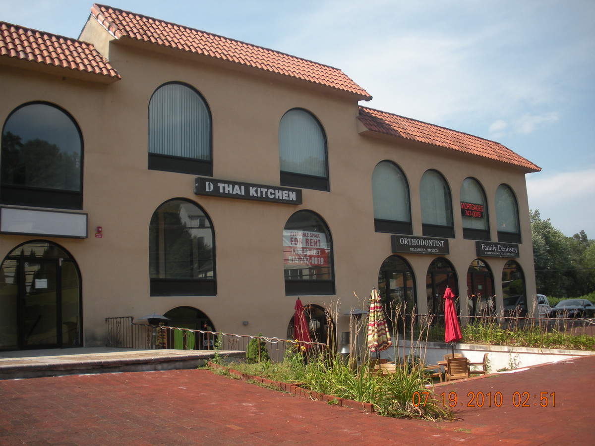
Property Record
677 Commerce St, Thornwood, NY 10594
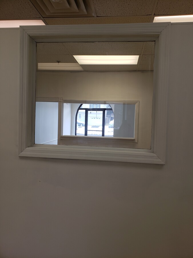
Current Lease Availabilities
NEARBY LISTINGS FOR SALE OR LEASE
Property Detail
677 Commerce St
New York-Jersey City-White Plains, NY-NJ
Second Map Of Sherman Park
3489-106-018-00004-002-0000
Westchester
Commercialbuilding
New York
X
2.000
36119C0256F
0.12 AC
2024
West I-287 Corridor
2023
Westchester/So Connecticut
012102
DEMOGRAPHICS near 677 Commerce St
1 Mile
3 Mile
5 Mile
2024 Total Population
7,995
35,472
117,234
2029 Population
7,728
34,688
114,911
Pop Growth 2024-2029
(3.34%)
(2.21%)
(1.98%)
Average Age
39
41
41
2024 Total Households
2,407
11,337
40,238
HH Growth 2024-2029
(3.99%)
(2.50%)
(2.18%)
Median Household Inc
$157,778
$171,932
$137,933
Avg Household Size
2.80
2.80
2.80
2024 Avg HH Vehicles
2.00
2.00
2.00
Median Home Value
$729,900
$762,951
$713,683
Median Year Built
1958
1958
1961
Nearby Places
- Restaurants
- Banks
- Shops
- Fitness
- Groceries
PUBLIC TRANSPORTATION
COMMUTER RAIL
Hawthorne Station (Harlem Line - Metro-North Commuter Railroad Company (Metro-North))
DRIVE
WALK
Distance
Hawthorne Station (Harlem Line - Metro-North Commuter Railroad Company (Metro-North))
1 min
15 min
0.8 mi
Pleasantville Station (Harlem Line - Metro-North Commuter Railroad Company (Metro-North))
DRIVE
WALK
Distance
Pleasantville Station (Harlem Line - Metro-North Commuter Railroad Company (Metro-North))
3 min
1.8 mi
AIRPORT
Westchester County
DRIVE
WALK
Distance
Westchester County
17 min
8.2 mi
Laguardia
DRIVE
WALK
Distance
Laguardia
45 min
31.1 mi
Freight Ports
NY - Red Hook Container Terminal
DRIVE
WALK
Distance
NY - Red Hook Container Terminal
58 min
39.3 mi
Nearby Properties
Address
Land Use
TOTAL SIZE
Lot Size
Zoning
Address
Land Use
TOTAL SIZE
Lot Size
Zoning
Address
Land Use
TOTAL SIZE
Lot Size
Zoning
Address
Land Use
TOTAL SIZE
Lot Size
Zoning
37.17 AC
Address
Land Use
TOTAL SIZE
Lot Size
Zoning
Address
Land Use
TOTAL SIZE
Lot Size
Zoning
Address
Land Use
TOTAL SIZE
Lot Size
Zoning
Address
Land Use
TOTAL SIZE
Lot Size
Zoning
Address
Land Use
TOTAL SIZE
Lot Size
Zoning
228 AC
Address
Land Use
TOTAL SIZE
Lot Size
Zoning
Address
Land Use
TOTAL SIZE
Lot Size
Zoning
7.18 AC
R2
Address
Land Use
TOTAL SIZE
Lot Size
Zoning
11.62 AC
Address
Land Use
TOTAL SIZE
Lot Size
Zoning
Address
Land Use
TOTAL SIZE
Lot Size
Zoning
12.34 AC
R-1A
Address
Land Use
TOTAL SIZE
Lot Size
Zoning
124,324 SF
4.98 AC
Address
Land Use
TOTAL SIZE
Lot Size
Zoning
Address
Land Use
TOTAL SIZE
Lot Size
Zoning
Address
Land Use
TOTAL SIZE
Lot Size
Zoning
Address
Land Use
TOTAL SIZE
Lot Size
Zoning
Address
Land Use
TOTAL SIZE
Lot Size
Zoning
4,370 SF
1.26 AC
Address
Land Use
TOTAL SIZE
Lot Size
Zoning
1,583 SF
3.36 AC
R-1/2
Address
Land Use
TOTAL SIZE
Lot Size
Zoning
5,126 SF
101.76 AC
Address
Land Use
TOTAL SIZE
Lot Size
Zoning
Address
Land Use
TOTAL SIZE
Lot Size
Zoning
128.75 AC
Address
Land Use
TOTAL SIZE
Lot Size
Zoning
16.37 AC
Address
Land Use
TOTAL SIZE
Lot Size
Zoning
11.22 AC
Address
Land Use
TOTAL SIZE
Lot Size
Zoning
7.29 AC
R-1/2
Address
Land Use
TOTAL SIZE
Lot Size
Zoning
Address
Land Use
TOTAL SIZE
Lot Size
Zoning
11.40 AC
Address
Land Use
TOTAL SIZE
Lot Size
Zoning
4.60 AC
R-1A
Address
Land Use
TOTAL SIZE
Lot Size
Zoning
30.86 AC
The World's #1 Commercial Real Estate Marketplace
Connect with us
© 2025 CoStar Group
The information above has been obtained from sources believed reliable. While we do not doubt its accuracy we have not verified it and make no guarantee, warranty or representation about it. It is your responsibility to independently confirm its accuracy and completeness. Any projections, opinions, assumptions, or estimates used are for example only and do not represent the current or future performance of the property. The value of this transaction to you depends on tax and other factors which should be evaluated by your tax, financial, and legal advisors. You and your advisors should conduct a careful, independent investigation of the property to determine to your satisfaction the suitability of the property for your needs.