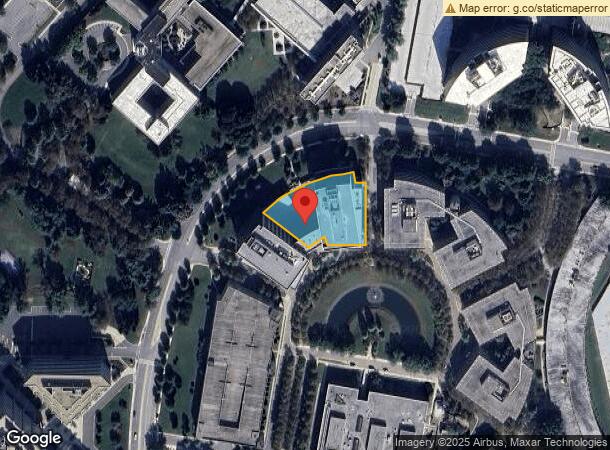
Property Record
6800 Rockledge Dr, Bethesda, MD 20817


NEARBY LISTINGS FOR SALE OR LEASE
Property Detail
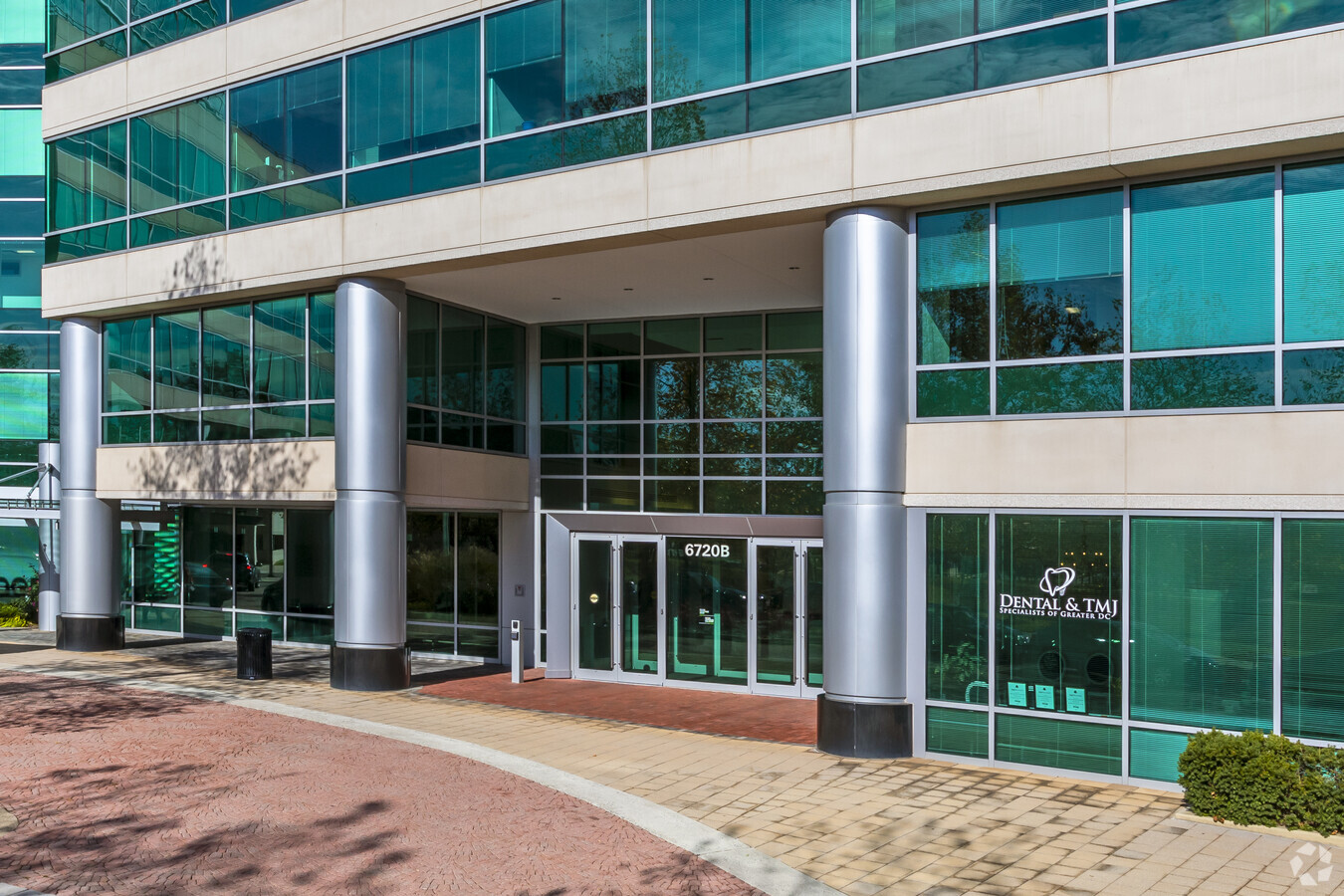
6800 Rockledge Dr
04-03624987
Amended & Restated Rock Spring Land Codm
Storesoffices
LAND UNIT 2 AMENDED & RESTATED ROCK SPRING LAND CODM
X
Montgomery
51059C0075E
Maryland
2024
1.13 AC
2024
North Bethesda/Potomac
705901
Washington, DC
237,585 SF
Washington-Arlington-Alexandria, DC-VA-MD-WV
DEMOGRAPHICS near 6800 Rockledge Dr
1 Mile
3 Mile
5 Mile
2024 Total Population
11,615
121,095
322,304
2029 Population
11,605
120,072
319,302
Pop Growth 2024-2029
(0.09%)
(0.84%)
(0.93%)
Average Age
43
42
41
2024 Total Households
4,621
48,557
120,267
HH Growth 2024-2029
(0.17%)
(0.97%)
(0.94%)
Median Household Inc
$132,186
$139,024
$136,976
Avg Household Size
2.40
2.40
2.60
2024 Avg HH Vehicles
2.00
2.00
2.00
Median Home Value
$726,984
$782,401
$748,510
Median Year Built
1977
1976
1969
Nearby Places
- Restaurants
- Banks
- Shops
- Fitness
- Groceries
PUBLIC TRANSPORTATION
COMMUTER RAIL
Garrett Park (Brunswick Line - Maryland Area Regional Commuter Trains (The MARC))
DRIVE
WALK
Distance
Garrett Park (Brunswick Line - Maryland Area Regional Commuter Trains (The MARC))
9 min
3.5 mi
Kensington (Brunswick Line - Maryland Area Regional Commuter Trains (The MARC))
DRIVE
WALK
Distance
Kensington (Brunswick Line - Maryland Area Regional Commuter Trains (The MARC))
11 min
6.0 mi
AIRPORT
Ronald Reagan Washington Ntl
DRIVE
WALK
Distance
Ronald Reagan Washington Ntl
32 min
16.6 mi
Washington Dulles International
DRIVE
WALK
Distance
Washington Dulles International
38 min
23.4 mi
Baltimore/Washington International Thurgood Marshall
DRIVE
WALK
Distance
Baltimore/Washington International Thurgood Marshall
49 min
36.4 mi
Freight Ports
Port of Baltimore
DRIVE
WALK
Distance
Port of Baltimore
54 min
39.3 mi
SALE & LEASE HISTORY
LISTING DATE
SALE/LEASE

Sep 25, 2016
For Lease
Sep 25, 2016
For Lease
Nov 30, 2016
For Lease
Dec 19, 2018
For Lease
Nearby Properties
Address
Land Use
TOTAL SIZE
Lot Size
Zoning
Address
Land Use
TOTAL SIZE
Lot Size
Zoning
4,400,000 SF
7.92 AC
R60
Address
Land Use
TOTAL SIZE
Lot Size
Zoning
769,580 SF
21.77 AC
GR1.5
Address
Land Use
TOTAL SIZE
Lot Size
Zoning
1,332,482 SF
3.79 AC
CR2.0
Address
Land Use
TOTAL SIZE
Lot Size
Zoning
737,500 SF
12.89 AC
R60
Address
Land Use
TOTAL SIZE
Lot Size
Zoning
1,119,608 SF
90.30 AC
R90
Address
Land Use
TOTAL SIZE
Lot Size
Zoning
178,124 SF
11 AC
R60
Address
Land Use
TOTAL SIZE
Lot Size
Zoning
432,000 SF
1.77 AC
CR4.0
Address
Land Use
TOTAL SIZE
Lot Size
Zoning
115.87 AC
R60
Address
Land Use
TOTAL SIZE
Lot Size
Zoning
515,000 SF
5.23 AC
CR1.5
Address
Land Use
TOTAL SIZE
Lot Size
Zoning
379,100 SF
11.80 AC
CR4.0
Address
Land Use
TOTAL SIZE
Lot Size
Zoning
626,132 SF
7.28 AC
CR0.5
Address
Land Use
TOTAL SIZE
Lot Size
Zoning
380,452 SF
2.38 AC
CR3.0
Address
Land Use
TOTAL SIZE
Lot Size
Zoning
393,977 SF
17.88 AC
MXCD
Address
Land Use
TOTAL SIZE
Lot Size
Zoning
412,122 SF
10.44 AC
CR1.5
Address
Land Use
TOTAL SIZE
Lot Size
Zoning
815,414 SF
3.27 AC
CR4.0
Address
Land Use
TOTAL SIZE
Lot Size
Zoning
414,000 SF
7.28 AC
MXCD
Address
Land Use
TOTAL SIZE
Lot Size
Zoning
674,400 SF
3.21 AC
CR3.0
Address
Land Use
TOTAL SIZE
Lot Size
Zoning
223,520 SF
2.77 AC
CR2.0
Address
Land Use
TOTAL SIZE
Lot Size
Zoning
559,515 SF
26.51 AC
EOF12
Address
Land Use
TOTAL SIZE
Lot Size
Zoning
291,194 SF
0.72 AC
CR4.0
Address
Land Use
TOTAL SIZE
Lot Size
Zoning
454,275 SF
1.12 AC
CR7.2
Address
Land Use
TOTAL SIZE
Lot Size
Zoning
465,983 SF
1.38 AC
CR3.0
Address
Land Use
TOTAL SIZE
Lot Size
Zoning
80,359 SF
11.61 AC
CRT1.
Address
Land Use
TOTAL SIZE
Lot Size
Zoning
149,170 SF
13.13 AC
CRT0.
Address
Land Use
TOTAL SIZE
Lot Size
Zoning
330,650 SF
2.89 AC
MXTD
Address
Land Use
TOTAL SIZE
Lot Size
Zoning
429,137 SF
1.80 AC
CR4.0
Address
Land Use
TOTAL SIZE
Lot Size
Zoning
51.89 AC
R60
Address
Land Use
TOTAL SIZE
Lot Size
Zoning
291,945 SF
10.49 AC
R10
Address
Land Use
TOTAL SIZE
Lot Size
Zoning
322,078 SF
30.28 AC
R90
Address
Land Use
TOTAL SIZE
Lot Size
Zoning
353,684 SF
2.48 AC
CR4.0
The World's #1 Commercial Real Estate Marketplace
Connect with us
© 2025 CoStar Group
The information above has been obtained from sources believed reliable. While we do not doubt its accuracy we have not verified it and make no guarantee, warranty or representation about it. It is your responsibility to independently confirm its accuracy and completeness. Any projections, opinions, assumptions, or estimates used are for example only and do not represent the current or future performance of the property. The value of this transaction to you depends on tax and other factors which should be evaluated by your tax, financial, and legal advisors. You and your advisors should conduct a careful, independent investigation of the property to determine to your satisfaction the suitability of the property for your needs.