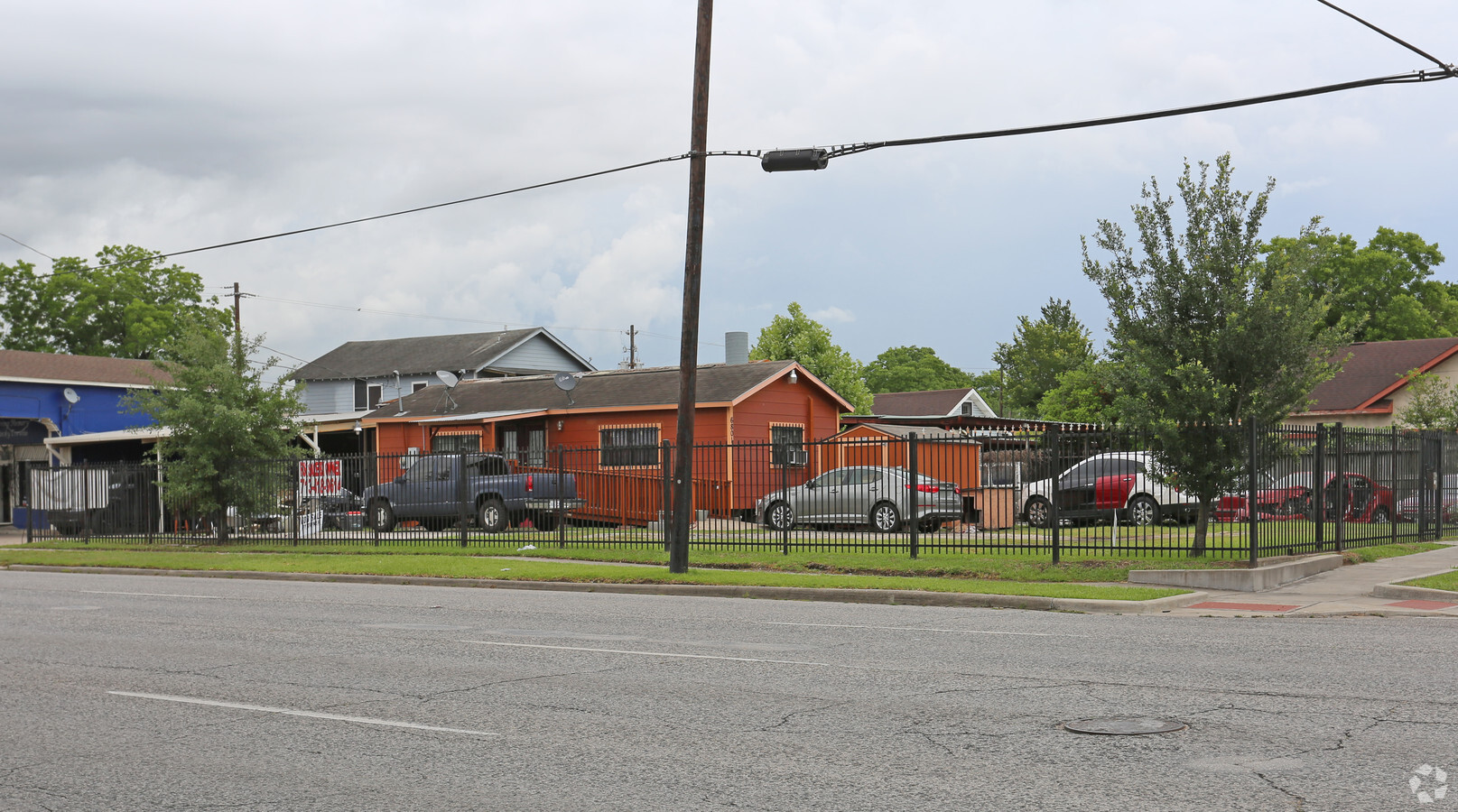
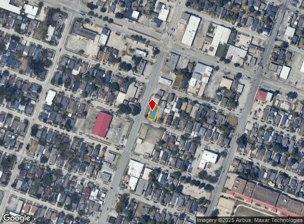
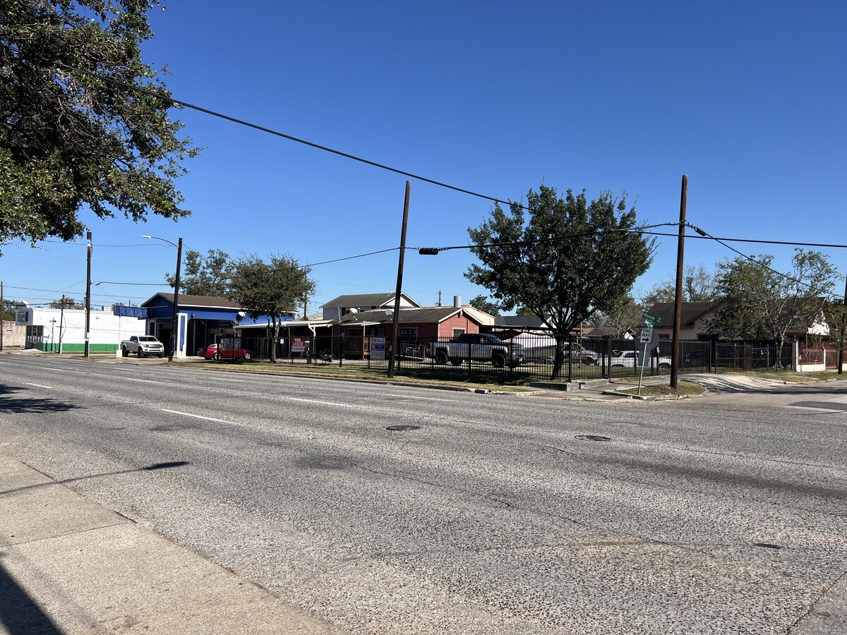
Property Record
6801 Avenue K, Houston, TX 77011
NEARBY LISTINGS FOR SALE OR LEASE
Property Detail
6801 Avenue K
Houston-The Woodlands-Sugar Land, TX
Central Park
0390560000023
LTS 23 & 24 BLK 103 CENTRAL PARK
Commercialnec
Harris
X
Texas
48201C0885N
23,24
2023
0.12 AC
2023
Inner Loop East End
3110012001
Houston
1,232 SF
DEMOGRAPHICS near 6801 Avenue K
1 Mile
3 Mile
5 Mile
2024 Total Population
14,191
109,046
327,800
2029 Population
14,601
112,442
339,239
Pop Growth 2024-2029
+ 2.89%
+ 3.11%
+ 3.49%
Average Age
38
38
37
2024 Total Households
4,989
39,910
121,086
HH Growth 2024-2029
+ 2.83%
+ 3.25%
+ 3.87%
Median Household Inc
$36,355
$41,906
$46,559
Avg Household Size
2.70
2.70
2.50
2024 Avg HH Vehicles
2.00
2.00
2.00
Median Home Value
$157,173
$171,831
$180,644
Median Year Built
1949
1954
1965
Nearby Places
- Restaurants
- Banks
- Shops
- Fitness
- Groceries
PUBLIC TRANSPORTATION
TRANSIT/SUBWAY
Cesar Chavez / 67Th St Eb (METRORAIL GREEN LINE - Metropolitan Transit Authority of Harris County)
DRIVE
WALK
Distance
Cesar Chavez / 67Th St Eb (METRORAIL GREEN LINE - Metropolitan Transit Authority of Harris County)
1 min
11 min
0.6 mi
Cesar Chavez / 67Th St Wb (METRORAIL GREEN LINE - Metropolitan Transit Authority of Harris County)
DRIVE
WALK
Distance
Cesar Chavez / 67Th St Wb (METRORAIL GREEN LINE - Metropolitan Transit Authority of Harris County)
1 min
13 min
0.7 mi
Magnolia Park Transit Center Wb (METRORAIL GREEN LINE - Metropolitan Transit Authority of Harris County)
DRIVE
WALK
Distance
Magnolia Park Transit Center Wb (METRORAIL GREEN LINE - Metropolitan Transit Authority of Harris County)
2 min
13 min
0.7 mi
Magnolia Park Transit Center Eb (METRORAIL GREEN LINE - Metropolitan Transit Authority of Harris County)
DRIVE
WALK
Distance
Magnolia Park Transit Center Eb (METRORAIL GREEN LINE - Metropolitan Transit Authority of Harris County)
2 min
13 min
0.7 mi
COMMUTER RAIL
Houston (Sunset Limited - Amtrak)
DRIVE
WALK
Distance
Houston (Sunset Limited - Amtrak)
9 min
4.7 mi
AIRPORT
William P Hobby
DRIVE
WALK
Distance
William P Hobby
20 min
9.5 mi
George Bush Intcntl/Houston
DRIVE
WALK
Distance
George Bush Intcntl/Houston
31 min
21.1 mi
Freight Ports
Port of Houston
DRIVE
WALK
Distance
Port of Houston
12 min
4.7 mi
SALE & LEASE HISTORY
LISTING DATE
SALE/LEASE

Mar 12, 2021
For Sale
Jul 19, 2021
For Sale
Jan 24, 2024
For Sale
Nearby Properties
Address
Land Use
TOTAL SIZE
Lot Size
Zoning
Address
Land Use
TOTAL SIZE
Lot Size
Zoning
100.26 AC
Address
Land Use
TOTAL SIZE
Lot Size
Zoning
1,392,720 SF
83.75 AC
Address
Land Use
TOTAL SIZE
Lot Size
Zoning
2,261,441 SF
24.47 AC
Address
Land Use
TOTAL SIZE
Lot Size
Zoning
400,641 SF
1.86 AC
Address
Land Use
TOTAL SIZE
Lot Size
Zoning
1,171,276 SF
44.19 AC
Address
Land Use
TOTAL SIZE
Lot Size
Zoning
406,586 SF
4.03 AC
Address
Land Use
TOTAL SIZE
Lot Size
Zoning
278,362 SF
1.70 AC
Address
Land Use
TOTAL SIZE
Lot Size
Zoning
17.84 AC
Address
Land Use
TOTAL SIZE
Lot Size
Zoning
587,515 SF
4.85 AC
Address
Land Use
TOTAL SIZE
Lot Size
Zoning
245,307 SF
1.67 AC
Address
Land Use
TOTAL SIZE
Lot Size
Zoning
186,460 SF
1.45 AC
Address
Land Use
TOTAL SIZE
Lot Size
Zoning
33.97 AC
Address
Land Use
TOTAL SIZE
Lot Size
Zoning
242,936 SF
Address
Land Use
TOTAL SIZE
Lot Size
Zoning
504,018 SF
37.16 AC
Address
Land Use
TOTAL SIZE
Lot Size
Zoning
901,984 SF
59.37 AC
Address
Land Use
TOTAL SIZE
Lot Size
Zoning
964,290 SF
22.64 AC
Address
Land Use
TOTAL SIZE
Lot Size
Zoning
111,415 SF
0.92 AC
Address
Land Use
TOTAL SIZE
Lot Size
Zoning
267,844 SF
10.98 AC
Address
Land Use
TOTAL SIZE
Lot Size
Zoning
232,915 SF
7.89 AC
Address
Land Use
TOTAL SIZE
Lot Size
Zoning
192,718 SF
17.87 AC
Address
Land Use
TOTAL SIZE
Lot Size
Zoning
595,069 SF
17.77 AC
Address
Land Use
TOTAL SIZE
Lot Size
Zoning
194,296 SF
15.13 AC
Address
Land Use
TOTAL SIZE
Lot Size
Zoning
923,370 SF
13.76 AC
Address
Land Use
TOTAL SIZE
Lot Size
Zoning
215,960 SF
0.98 AC
Address
Land Use
TOTAL SIZE
Lot Size
Zoning
238,125 SF
12.73 AC
Address
Land Use
TOTAL SIZE
Lot Size
Zoning
217,701 SF
1.45 AC
Address
Land Use
TOTAL SIZE
Lot Size
Zoning
241,999 SF
8.46 AC
Address
Land Use
TOTAL SIZE
Lot Size
Zoning
80,150 SF
0.65 AC
Address
Land Use
TOTAL SIZE
Lot Size
Zoning
78,073 SF
5.48 AC
Address
Land Use
TOTAL SIZE
Lot Size
Zoning
369,170 SF
2.46 AC
The World's #1 Commercial Real Estate Marketplace
Connect with us
© 2025 CoStar Group
The information above has been obtained from sources believed reliable. While we do not doubt its accuracy we have not verified it and make no guarantee, warranty or representation about it. It is your responsibility to independently confirm its accuracy and completeness. Any projections, opinions, assumptions, or estimates used are for example only and do not represent the current or future performance of the property. The value of this transaction to you depends on tax and other factors which should be evaluated by your tax, financial, and legal advisors. You and your advisors should conduct a careful, independent investigation of the property to determine to your satisfaction the suitability of the property for your needs.