Property Record
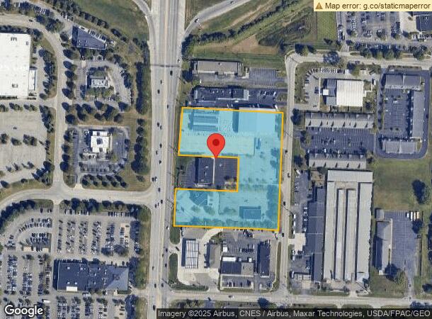
6835 Caine Rd, Columbus, OH 43235

NEARBY LISTINGS FOR SALE OR LEASE
Property Detail
6835 Caine Rd
590-191330
Unites States Military Lands
Commercialnec
SNOUFFER RD ACRES R19 T2 1/4T1 4.038 ACRES
X
Franklin
39049C0152K
Ohio
2023
4.04 AC
2023
Bethel Rd
006386
Columbus
28,116 SF
Columbus, OH
DEMOGRAPHICS near 6835 Caine Rd
1 Mile
3 Mile
5 Mile
2024 Total Population
12,452
88,395
224,074
2029 Population
12,492
88,581
228,321
Pop Growth 2024-2029
+ 0.32%
+ 0.21%
+ 1.90%
Average Age
36
39
39
2024 Total Households
5,979
36,008
92,356
HH Growth 2024-2029
+ 0.62%
+ 0.28%
+ 1.63%
Median Household Inc
$67,448
$97,638
$98,671
Avg Household Size
2.00
2.40
2.40
2024 Avg HH Vehicles
2.00
2.00
2.00
Median Home Value
$277,690
$338,873
$367,487
Median Year Built
1991
1987
1987
Nearby Places
- Restaurants
- Banks
- Shops
- Fitness
- Groceries
PUBLIC TRANSPORTATION
AIRPORT
John Glenn Columbus International
DRIVE
WALK
Distance
John Glenn Columbus International
25 min
19.0 mi
Rickenbacker International
DRIVE
WALK
Distance
Rickenbacker International
38 min
30.0 mi
Freight Ports
Port of Toledo
DRIVE
WALK
Distance
Port of Toledo
171 min
134.6 mi
SALE & LEASE HISTORY
LISTING DATE
SALE/LEASE

Aug 30, 2019
For Sale
Nearby Properties
Address
Land Use
TOTAL SIZE
Lot Size
Zoning
Address
Land Use
TOTAL SIZE
Lot Size
Zoning
182,845 SF
325.61 AC
Address
Land Use
TOTAL SIZE
Lot Size
Zoning
548,535 SF
325.61 AC
Address
Land Use
TOTAL SIZE
Lot Size
Zoning
133,425 SF
20.51 AC
Address
Land Use
TOTAL SIZE
Lot Size
Zoning
780,276 SF
29.05 AC
Address
Land Use
TOTAL SIZE
Lot Size
Zoning
1,034,007 SF
8.45 AC
Address
Land Use
TOTAL SIZE
Lot Size
Zoning
288,456 SF
71.76 AC
Address
Land Use
TOTAL SIZE
Lot Size
Zoning
561,921 SF
6.81 AC
Address
Land Use
TOTAL SIZE
Lot Size
Zoning
301,872 SF
20.16 AC
Address
Land Use
TOTAL SIZE
Lot Size
Zoning
557,021 SF
21.28 AC
Address
Land Use
TOTAL SIZE
Lot Size
Zoning
340,006 SF
18.14 AC
Address
Land Use
TOTAL SIZE
Lot Size
Zoning
223,947 SF
54.30 AC
Address
Land Use
TOTAL SIZE
Lot Size
Zoning
520,854 SF
1.13 AC
Address
Land Use
TOTAL SIZE
Lot Size
Zoning
669,810 SF
1.30 AC
Address
Land Use
TOTAL SIZE
Lot Size
Zoning
785,616 SF
53.89 AC
Address
Land Use
TOTAL SIZE
Lot Size
Zoning
601,827 SF
21.87 AC
Address
Land Use
TOTAL SIZE
Lot Size
Zoning
535,704 SF
31.62 AC
Address
Land Use
TOTAL SIZE
Lot Size
Zoning
95,759 SF
58.80 AC
Address
Land Use
TOTAL SIZE
Lot Size
Zoning
160,958 SF
11.93 AC
Address
Land Use
TOTAL SIZE
Lot Size
Zoning
345,096 SF
12.81 AC
Address
Land Use
TOTAL SIZE
Lot Size
Zoning
129,254 SF
56.69 AC
Address
Land Use
TOTAL SIZE
Lot Size
Zoning
127,482 SF
15.07 AC
Address
Land Use
TOTAL SIZE
Lot Size
Zoning
245,022 SF
6.50 AC
Address
Land Use
TOTAL SIZE
Lot Size
Zoning
414,932 SF
24.87 AC
Address
Land Use
TOTAL SIZE
Lot Size
Zoning
86,442 SF
10.21 AC
Address
Land Use
TOTAL SIZE
Lot Size
Zoning
773,979 SF
9.98 AC
Address
Land Use
TOTAL SIZE
Lot Size
Zoning
597,480 SF
5.63 AC
Address
Land Use
TOTAL SIZE
Lot Size
Zoning
324,158 SF
31.18 AC
Address
Land Use
TOTAL SIZE
Lot Size
Zoning
73,944 SF
11.03 AC
Address
Land Use
TOTAL SIZE
Lot Size
Zoning
165,916 SF
11.15 AC
Address
Land Use
TOTAL SIZE
Lot Size
Zoning
346,176 SF
25 AC
The World's #1 Commercial Real Estate Marketplace
Connect with us
© 2025 CoStar Group
The information above has been obtained from sources believed reliable. While we do not doubt its accuracy we have not verified it and make no guarantee, warranty or representation about it. It is your responsibility to independently confirm its accuracy and completeness. Any projections, opinions, assumptions, or estimates used are for example only and do not represent the current or future performance of the property. The value of this transaction to you depends on tax and other factors which should be evaluated by your tax, financial, and legal advisors. You and your advisors should conduct a careful, independent investigation of the property to determine to your satisfaction the suitability of the property for your needs.