Property Record
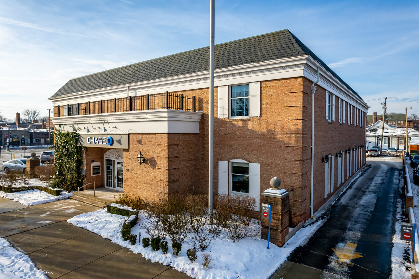
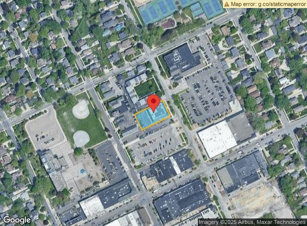
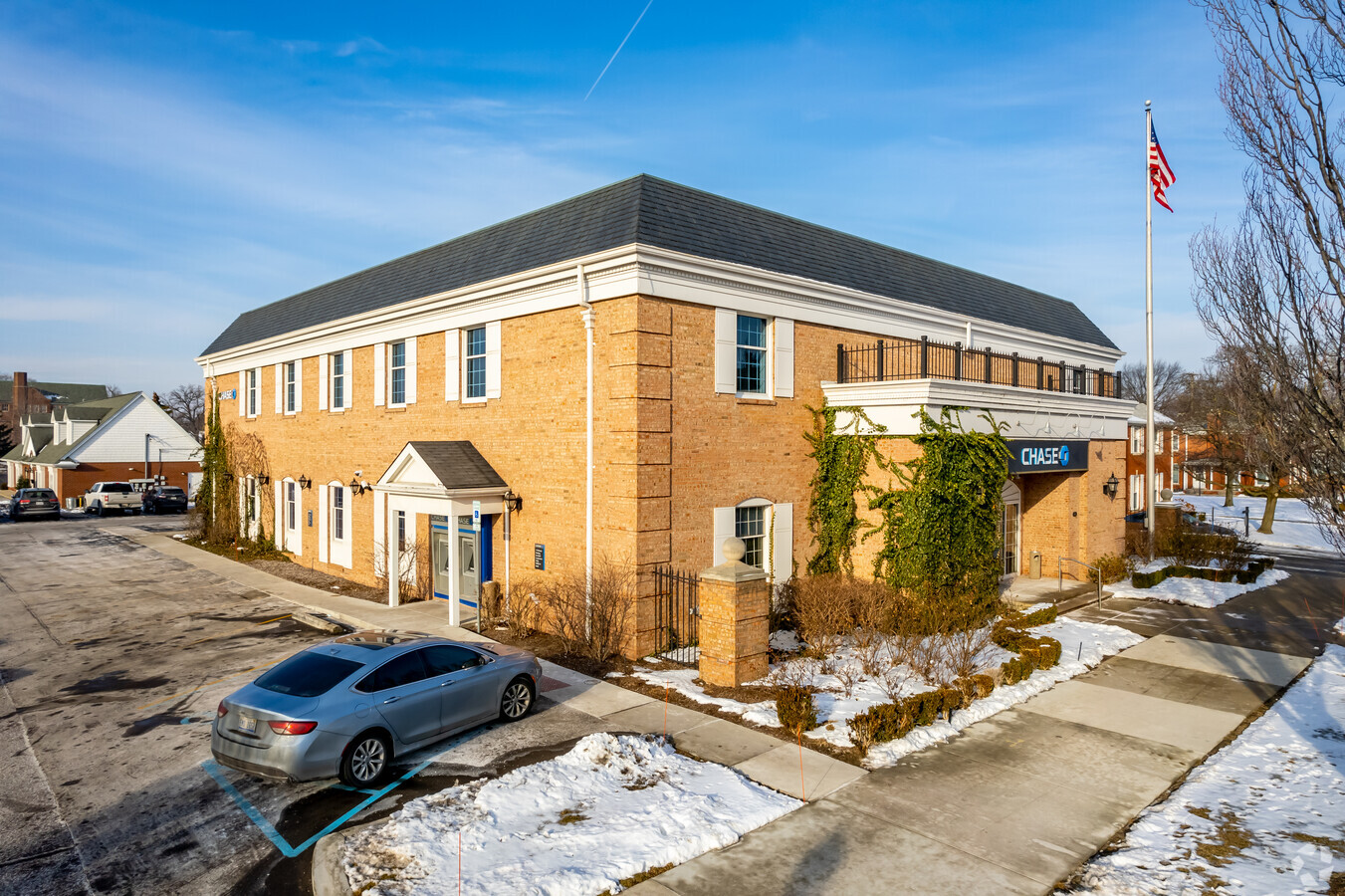
685 Saint Clair St, Grosse Pointe, MI 48230
NEARBY LISTINGS FOR SALE OR LEASE
Property Detail
685 Saint Clair St
Detroit-Warren-Dearborn, MI
Clair Park Sub
37-002-04-0035-000
CYK35 LOT 35 AMENDED PLAT OF ST CLAIR PARK SUB PC239 L19 P21 WCR K 120.51
Financialbuilding
Wayne
X
Michigan
26163C0143F
35
2024
0.41 AC
2024
The Pointes/Harper Woods
550400
Detroit
14,289 SF
DEMOGRAPHICS near 685 Saint Clair St
1 Mile
3 Mile
5 Mile
2024 Total Population
15,058
92,235
210,549
2029 Population
14,463
90,795
209,882
Pop Growth 2024-2029
(3.95%)
(1.56%)
(0.32%)
Average Age
42
39
39
2024 Total Households
5,780
35,196
82,382
HH Growth 2024-2029
(3.91%)
(1.62%)
(0.44%)
Median Household Inc
$123,734
$56,526
$50,783
Avg Household Size
2.50
2.50
2.50
2024 Avg HH Vehicles
2.00
1.00
1.00
Median Home Value
$366,712
$211,927
$152,456
Median Year Built
1947
1948
1951
Nearby Places
- Restaurants
- Banks
- Shops
- Fitness
- Groceries
PUBLIC TRANSPORTATION
AIRPORT
Windsor International
DRIVE
WALK
Distance
Windsor International
43 min
17.3 mi
Detroit Metro Wayne County
DRIVE
WALK
Distance
Detroit Metro Wayne County
48 min
31.3 mi
Freight Ports
Port of Toledo
DRIVE
WALK
Distance
Port of Toledo
94 min
72.1 mi
SALE & LEASE HISTORY
LISTING DATE
SALE/LEASE

Sep 25, 2016
For Lease
Nearby Properties
Address
Land Use
TOTAL SIZE
Lot Size
Zoning
Address
Land Use
TOTAL SIZE
Lot Size
Zoning
2,958,207 SF
277.38 AC
M4
Address
Land Use
TOTAL SIZE
Lot Size
Zoning
211,065 SF
8.84 AC
C.F
Address
Land Use
TOTAL SIZE
Lot Size
Zoning
362,400 SF
42.23 AC
M4
Address
Land Use
TOTAL SIZE
Lot Size
Zoning
575,081 SF
8.53 AC
Address
Land Use
TOTAL SIZE
Lot Size
Zoning
15.97 AC
Address
Land Use
TOTAL SIZE
Lot Size
Zoning
101,733 SF
1.10 AC
C-2
Address
Land Use
TOTAL SIZE
Lot Size
Zoning
49,437 SF
0.47 AC
Address
Land Use
TOTAL SIZE
Lot Size
Zoning
93,296 SF
1.05 AC
C-2
Address
Land Use
TOTAL SIZE
Lot Size
Zoning
57.16 AC
Address
Land Use
TOTAL SIZE
Lot Size
Zoning
62,195 SF
1.50 AC
Address
Land Use
TOTAL SIZE
Lot Size
Zoning
17,558 SF
3.15 AC
Address
Land Use
TOTAL SIZE
Lot Size
Zoning
41,000 SF
Address
Land Use
TOTAL SIZE
Lot Size
Zoning
89,897 SF
2.23 AC
Address
Land Use
TOTAL SIZE
Lot Size
Zoning
28,055 SF
0.44 AC
Address
Land Use
TOTAL SIZE
Lot Size
Zoning
72,940 SF
83.37 AC
M4
Address
Land Use
TOTAL SIZE
Lot Size
Zoning
42,113 SF
0.54 AC
Address
Land Use
TOTAL SIZE
Lot Size
Zoning
20,625 SF
0.48 AC
C-2
Address
Land Use
TOTAL SIZE
Lot Size
Zoning
102,205 SF
214.30 AC
Address
Land Use
TOTAL SIZE
Lot Size
Zoning
47,227 SF
6.29 AC
PD
Address
Land Use
TOTAL SIZE
Lot Size
Zoning
25,500 SF
0.23 AC
Address
Land Use
TOTAL SIZE
Lot Size
Zoning
10,704 SF
1.84 AC
Address
Land Use
TOTAL SIZE
Lot Size
Zoning
101,095 SF
3.74 AC
R-2
Address
Land Use
TOTAL SIZE
Lot Size
Zoning
60,484 SF
4.85 AC
PD
Address
Land Use
TOTAL SIZE
Lot Size
Zoning
18,113 SF
0.42 AC
C-2
Address
Land Use
TOTAL SIZE
Lot Size
Zoning
8,746 SF
4.30 AC
Address
Land Use
TOTAL SIZE
Lot Size
Zoning
24,120 SF
4.89 AC
B4
Address
Land Use
TOTAL SIZE
Lot Size
Zoning
10,630 SF
0.20 AC
C-2
Address
Land Use
TOTAL SIZE
Lot Size
Zoning
140,160 SF
0.62 AC
Address
Land Use
TOTAL SIZE
Lot Size
Zoning
15,872 SF
0.76 AC
The World's #1 Commercial Real Estate Marketplace
Connect with us
© 2025 CoStar Group
The information above has been obtained from sources believed reliable. While we do not doubt its accuracy we have not verified it and make no guarantee, warranty or representation about it. It is your responsibility to independently confirm its accuracy and completeness. Any projections, opinions, assumptions, or estimates used are for example only and do not represent the current or future performance of the property. The value of this transaction to you depends on tax and other factors which should be evaluated by your tax, financial, and legal advisors. You and your advisors should conduct a careful, independent investigation of the property to determine to your satisfaction the suitability of the property for your needs.