Property Record
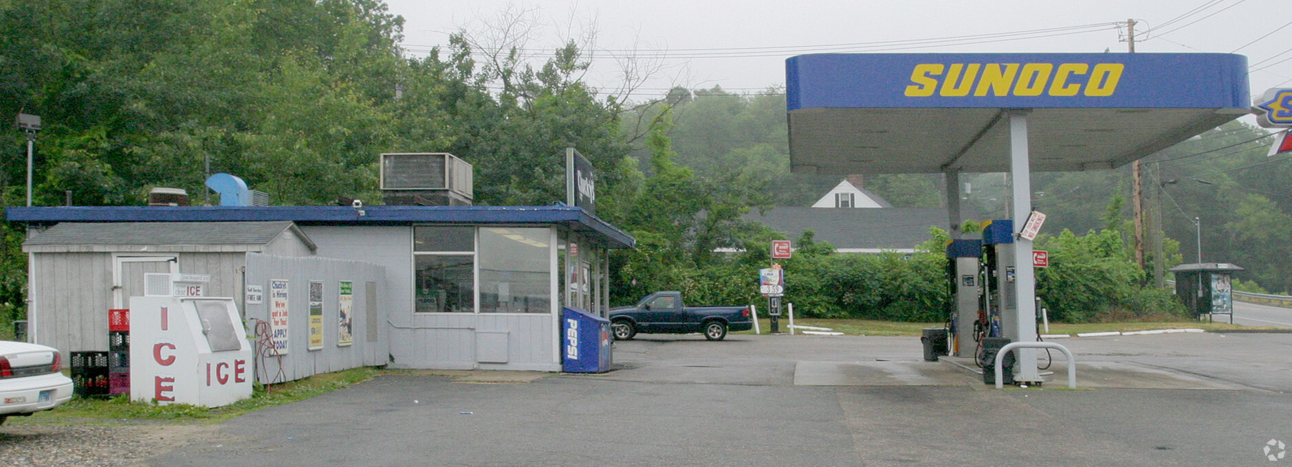
689 W Thames St, Norwich, CT 06360


NEARBY LISTINGS FOR SALE OR LEASE
Property Detail
689 W Thames St
NORW-000129-000001-000058
New London
Commercialacreage
Connecticut
X
58
09011C0351G
0.89 AC
2024
NE New London/Norwich
2024
Hartford
696701
Norwich-New London, CT
DEMOGRAPHICS near 689 W Thames St
1 Mile
3 Mile
5 Mile
2024 Total Population
4,450
30,627
54,382
2029 Population
4,508
30,670
54,204
Pop Growth 2024-2029
+ 1.30%
+ 0.14%
(0.33%)
Average Age
41
40
41
2024 Total Households
1,825
12,415
21,666
HH Growth 2024-2029
+ 1.48%
+ 0.10%
(0.44%)
Median Household Inc
$49,196
$66,585
$70,037
Avg Household Size
2.30
2.30
2.40
2024 Avg HH Vehicles
2.00
2.00
2.00
Median Home Value
$159,360
$209,626
$222,466
Median Year Built
1963
1958
1961
Nearby Places
- Restaurants
- Banks
- Shops
- Fitness
- Groceries
Nearby Properties
Address
Land Use
TOTAL SIZE
Lot Size
Zoning
Address
Land Use
TOTAL SIZE
Lot Size
Zoning
45.74 AC
PDD
Address
Land Use
TOTAL SIZE
Lot Size
Zoning
242 AC
R20
Address
Land Use
TOTAL SIZE
Lot Size
Zoning
4.59 AC
TRDD
Address
Land Use
TOTAL SIZE
Lot Size
Zoning
16 AC
ROS
Address
Land Use
TOTAL SIZE
Lot Size
Zoning
Address
Land Use
TOTAL SIZE
Lot Size
Zoning
13.78 AC
R40
Address
Land Use
TOTAL SIZE
Lot Size
Zoning
2,102 SF
110.90 AC
PDD
Address
Land Use
TOTAL SIZE
Lot Size
Zoning
113.19 AC
C2/OZ
Address
Land Use
TOTAL SIZE
Lot Size
Zoning
65.90 AC
RSRVT
Address
Land Use
TOTAL SIZE
Lot Size
Zoning
16,551 SF
18.10 AC
MF
Address
Land Use
TOTAL SIZE
Lot Size
Zoning
22.87 AC
C-2
Address
Land Use
TOTAL SIZE
Lot Size
Zoning
59.03 AC
RSRVT
Address
Land Use
TOTAL SIZE
Lot Size
Zoning
120,000 SF
14.30 AC
HC
Address
Land Use
TOTAL SIZE
Lot Size
Zoning
129,948 SF
9.70 AC
PC
Address
Land Use
TOTAL SIZE
Lot Size
Zoning
18.66 AC
PC
Address
Land Use
TOTAL SIZE
Lot Size
Zoning
102,477 SF
22.51 AC
C-2
Address
Land Use
TOTAL SIZE
Lot Size
Zoning
8.78 AC
MF
Address
Land Use
TOTAL SIZE
Lot Size
Zoning
18,401 SF
12.88 AC
MF
Address
Land Use
TOTAL SIZE
Lot Size
Zoning
13.36 AC
PC
Address
Land Use
TOTAL SIZE
Lot Size
Zoning
87,162 SF
30.20 AC
R20/MF
Address
Land Use
TOTAL SIZE
Lot Size
Zoning
79,192 SF
11.90 AC
MF
Address
Land Use
TOTAL SIZE
Lot Size
Zoning
106,807 SF
5.60 AC
C-2
Address
Land Use
TOTAL SIZE
Lot Size
Zoning
3.76 AC
MF
Address
Land Use
TOTAL SIZE
Lot Size
Zoning
34.70 AC
PC
Address
Land Use
TOTAL SIZE
Lot Size
Zoning
351.80 AC
ROS
Address
Land Use
TOTAL SIZE
Lot Size
Zoning
122,921 SF
16.60 AC
PC
Address
Land Use
TOTAL SIZE
Lot Size
Zoning
15,208 SF
205.50 AC
TRDD
Address
Land Use
TOTAL SIZE
Lot Size
Zoning
35.36 AC
RSRVT
Address
Land Use
TOTAL SIZE
Lot Size
Zoning
11.23 AC
MF
Address
Land Use
TOTAL SIZE
Lot Size
Zoning
134.40 AC
PC
The World's #1 Commercial Real Estate Marketplace
Connect with us
© 2025 CoStar Group
The information above has been obtained from sources believed reliable. While we do not doubt its accuracy we have not verified it and make no guarantee, warranty or representation about it. It is your responsibility to independently confirm its accuracy and completeness. Any projections, opinions, assumptions, or estimates used are for example only and do not represent the current or future performance of the property. The value of this transaction to you depends on tax and other factors which should be evaluated by your tax, financial, and legal advisors. You and your advisors should conduct a careful, independent investigation of the property to determine to your satisfaction the suitability of the property for your needs.