Property Record
6920 Brasada Dr, Houston, TX 77085


NEARBY LISTINGS FOR SALE OR LEASE
Property Detail
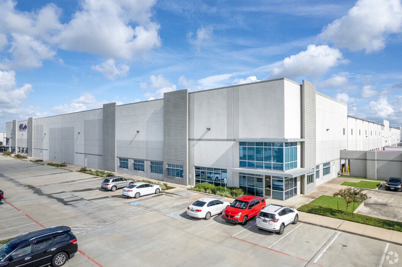
6920 Brasada Dr
1371280010003
Beltway Southwest Business Park Sec 1
Warehouse
RES A2 BLK 1 BELTWAY SOUTHWEST BUSINESS PARK SEC 1
X
Harris
48157C0305M
Texas
2023
12.45 AC
2023
Southwest Far
3303023005
Houston
240,000 SF
Houston-The Woodlands-Sugar Land, TX
DEMOGRAPHICS near 6920 Brasada Dr
1 Mile
3 Mile
5 Mile
2024 Total Population
9,755
124,315
306,969
2029 Population
10,765
135,322
333,043
Pop Growth 2024-2029
+ 10.35%
+ 8.85%
+ 8.49%
Average Age
39
37
37
2024 Total Households
3,308
40,346
105,165
HH Growth 2024-2029
+ 10.43%
+ 8.96%
+ 8.45%
Median Household Inc
$53,569
$53,688
$57,912
Avg Household Size
2.90
3.00
2.80
2024 Avg HH Vehicles
2.00
2.00
2.00
Median Home Value
$144,000
$153,292
$194,227
Median Year Built
1985
1979
1979
Nearby Places
- Restaurants
- Banks
- Shops
- Fitness
- Groceries
PUBLIC TRANSPORTATION
AIRPORT
William P Hobby
DRIVE
WALK
Distance
William P Hobby
27 min
16.6 mi
George Bush Intcntl/Houston
DRIVE
WALK
Distance
George Bush Intcntl/Houston
46 min
32.4 mi
Freight Ports
Port of Houston
DRIVE
WALK
Distance
Port of Houston
30 min
19.9 mi
SALE & LEASE HISTORY
LISTING DATE
SALE/LEASE

Oct 11, 2019
For Lease
May 05, 2022
For Lease
Jul 02, 2019
For Lease
Apr 12, 2017
For Lease
Nearby Properties
Address
Land Use
TOTAL SIZE
Lot Size
Zoning
Address
Land Use
TOTAL SIZE
Lot Size
Zoning
1,139,160 SF
75.10 AC
Address
Land Use
TOTAL SIZE
Lot Size
Zoning
967,659 SF
75.03 AC
Address
Land Use
TOTAL SIZE
Lot Size
Zoning
542,333 SF
43.95 AC
Address
Land Use
TOTAL SIZE
Lot Size
Zoning
344,620 SF
53.65 AC
STHQZ
Address
Land Use
TOTAL SIZE
Lot Size
Zoning
552,900 SF
27.86 AC
Address
Land Use
TOTAL SIZE
Lot Size
Zoning
35.85 AC
Address
Land Use
TOTAL SIZE
Lot Size
Zoning
305,512 SF
13.74 AC
Address
Land Use
TOTAL SIZE
Lot Size
Zoning
428,538 SF
45.50 AC
Address
Land Use
TOTAL SIZE
Lot Size
Zoning
429,368 SF
27.94 AC
Address
Land Use
TOTAL SIZE
Lot Size
Zoning
456,076 SF
19.09 AC
Address
Land Use
TOTAL SIZE
Lot Size
Zoning
383,515 SF
12.61 AC
Address
Land Use
TOTAL SIZE
Lot Size
Zoning
382,505 SF
21.68 AC
Address
Land Use
TOTAL SIZE
Lot Size
Zoning
4.03 AC
Address
Land Use
TOTAL SIZE
Lot Size
Zoning
490,720 SF
26.78 AC
S
Address
Land Use
TOTAL SIZE
Lot Size
Zoning
13.32 AC
Address
Land Use
TOTAL SIZE
Lot Size
Zoning
391,473 SF
17.11 AC
Address
Land Use
TOTAL SIZE
Lot Size
Zoning
39.26 AC
Address
Land Use
TOTAL SIZE
Lot Size
Zoning
24.49 AC
QSY
Address
Land Use
TOTAL SIZE
Lot Size
Zoning
Address
Land Use
TOTAL SIZE
Lot Size
Zoning
306,103 SF
64.07 AC
QY
Address
Land Use
TOTAL SIZE
Lot Size
Zoning
186,759 SF
42.60 AC
Address
Land Use
TOTAL SIZE
Lot Size
Zoning
18.23 AC
Address
Land Use
TOTAL SIZE
Lot Size
Zoning
249,050 SF
10.09 AC
Address
Land Use
TOTAL SIZE
Lot Size
Zoning
294,941 SF
18.86 AC
Address
Land Use
TOTAL SIZE
Lot Size
Zoning
169,176 SF
24.31 AC
Address
Land Use
TOTAL SIZE
Lot Size
Zoning
136,724 SF
11.71 AC
Address
Land Use
TOTAL SIZE
Lot Size
Zoning
209,728 SF
11.93 AC
Address
Land Use
TOTAL SIZE
Lot Size
Zoning
271,896 SF
10.56 AC
Address
Land Use
TOTAL SIZE
Lot Size
Zoning
259,008 SF
11.50 AC
The World's #1 Commercial Real Estate Marketplace
Connect with us
© 2025 CoStar Group
The information above has been obtained from sources believed reliable. While we do not doubt its accuracy we have not verified it and make no guarantee, warranty or representation about it. It is your responsibility to independently confirm its accuracy and completeness. Any projections, opinions, assumptions, or estimates used are for example only and do not represent the current or future performance of the property. The value of this transaction to you depends on tax and other factors which should be evaluated by your tax, financial, and legal advisors. You and your advisors should conduct a careful, independent investigation of the property to determine to your satisfaction the suitability of the property for your needs.