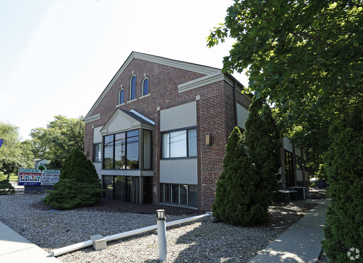
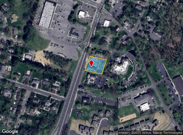
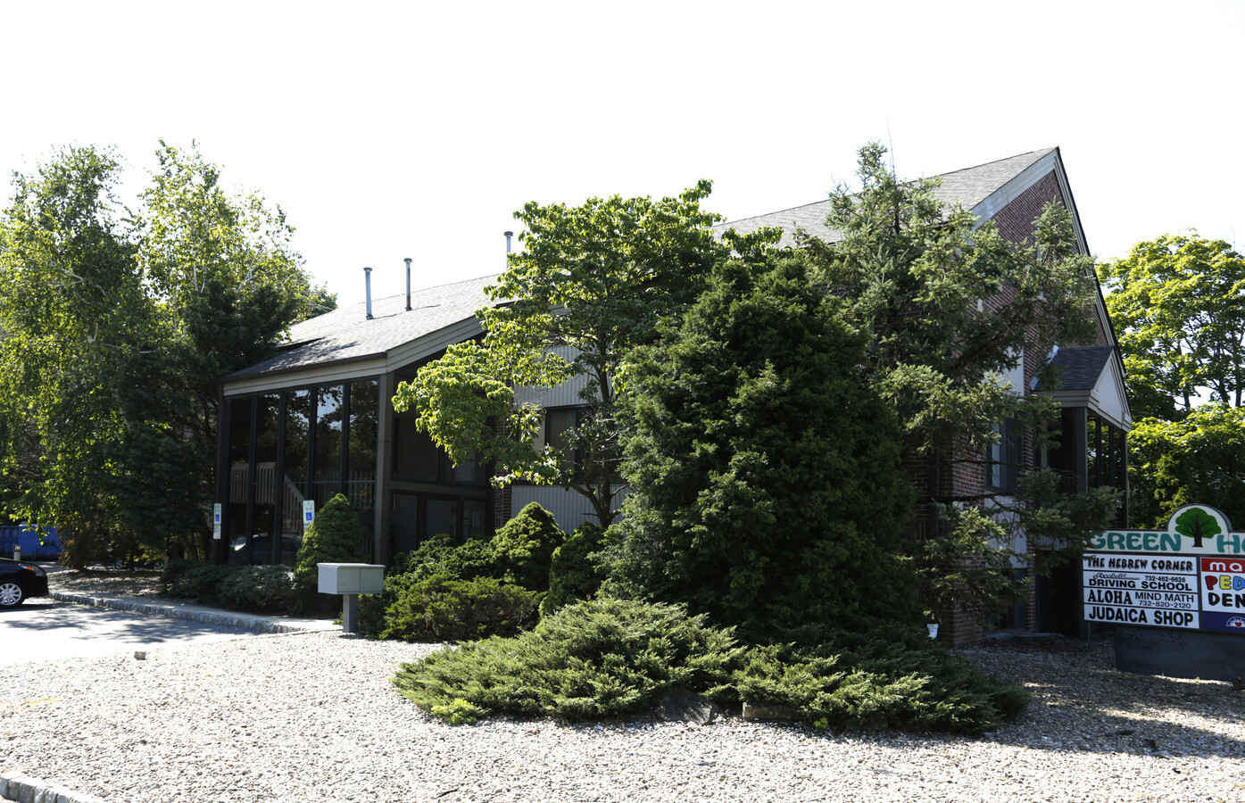
Property Record
7 S Main St, Marlboro, NJ 07746
Current Lease Availabilities
NEARBY LISTINGS FOR SALE OR LEASE
Property Detail
7 S Main St
30-00355-0000-00018
Monmouth
Officebuilding
New Jersey
X
18
34025C0153F
0.76 AC
2023
Western Monmouth
2024
Northern New Jersey
809701
New York-Jersey City-White Plains, NY-NJ
6,060 SF
DEMOGRAPHICS near 7 S Main St
1 Mile
3 Mile
5 Mile
2024 Total Population
4,845
35,515
95,732
2029 Population
4,764
34,928
94,466
Pop Growth 2024-2029
(1.67%)
(1.65%)
(1.32%)
Average Age
41
43
42
2024 Total Households
1,538
11,340
32,202
HH Growth 2024-2029
(1.82%)
(1.85%)
(1.46%)
Median Household Inc
$173,356
$185,639
$141,193
Avg Household Size
3.10
3.00
2.90
2024 Avg HH Vehicles
2.00
2.00
2.00
Median Home Value
$644,751
$676,879
$615,632
Median Year Built
1984
1982
1981
Nearby Places
- Restaurants
- Banks
- Shops
- Fitness
- Groceries
PUBLIC TRANSPORTATION
COMMUTER RAIL
Aberdeen Matawan (North Jersey Coast Line - NJ Transit Commuter Rail (NJ Transit))
DRIVE
WALK
Distance
Aberdeen Matawan (North Jersey Coast Line - NJ Transit Commuter Rail (NJ Transit))
12 min
7.9 mi
Hazlet (North Jersey Coast Line - NJ Transit Commuter Rail (NJ Transit))
DRIVE
WALK
Distance
Hazlet (North Jersey Coast Line - NJ Transit Commuter Rail (NJ Transit))
16 min
8.9 mi
AIRPORT
Newark Liberty International
DRIVE
WALK
Distance
Newark Liberty International
46 min
37.9 mi
Trenton Mercer
DRIVE
WALK
Distance
Trenton Mercer
59 min
39.1 mi
Freight Ports
New York Container Terminal
DRIVE
WALK
Distance
New York Container Terminal
40 min
30.1 mi
Nearby Properties
Address
Land Use
TOTAL SIZE
Lot Size
Zoning
Address
Land Use
TOTAL SIZE
Lot Size
Zoning
8.32 AC
R-40
Address
Land Use
TOTAL SIZE
Lot Size
Zoning
46 AC
CF
Address
Land Use
TOTAL SIZE
Lot Size
Zoning
30.80 AC
CF
Address
Land Use
TOTAL SIZE
Lot Size
Zoning
411 AC
ROS
Address
Land Use
TOTAL SIZE
Lot Size
Zoning
98,617 SF
10 AC
A/LC
Address
Land Use
TOTAL SIZE
Lot Size
Zoning
65,708 SF
13.65 AC
C-5
Address
Land Use
TOTAL SIZE
Lot Size
Zoning
17,342 SF
64.55 AC
ROS
Address
Land Use
TOTAL SIZE
Lot Size
Zoning
21.35 AC
CF
Address
Land Use
TOTAL SIZE
Lot Size
Zoning
93.79 AC
R-60
Address
Land Use
TOTAL SIZE
Lot Size
Zoning
1,800 SF
83.93 AC
R120
Address
Land Use
TOTAL SIZE
Lot Size
Zoning
84,626 SF
15.37 AC
R120
Address
Land Use
TOTAL SIZE
Lot Size
Zoning
4.79 AC
C3
Address
Land Use
TOTAL SIZE
Lot Size
Zoning
16.30 AC
R20
Address
Land Use
TOTAL SIZE
Lot Size
Zoning
35,229 SF
17.64 AC
CF
Address
Land Use
TOTAL SIZE
Lot Size
Zoning
60,436 SF
9.23 AC
C-2
Address
Land Use
TOTAL SIZE
Lot Size
Zoning
50,970 SF
4.32 AC
C2
Address
Land Use
TOTAL SIZE
Lot Size
Zoning
4.04 AC
MU08
Address
Land Use
TOTAL SIZE
Lot Size
Zoning
16,803 SF
19.87 AC
R302
Address
Land Use
TOTAL SIZE
Lot Size
Zoning
5.54 AC
C2
Address
Land Use
TOTAL SIZE
Lot Size
Zoning
5.25 AC
C-3
Address
Land Use
TOTAL SIZE
Lot Size
Zoning
30,350 SF
7.02 AC
C2
Address
Land Use
TOTAL SIZE
Lot Size
Zoning
15.17 AC
A-1
Address
Land Use
TOTAL SIZE
Lot Size
Zoning
360.97 AC
ROS
Address
Land Use
TOTAL SIZE
Lot Size
Zoning
13,440 SF
12.29 AC
C-5
Address
Land Use
TOTAL SIZE
Lot Size
Zoning
18.70 AC
CF
Address
Land Use
TOTAL SIZE
Lot Size
Zoning
76,502 SF
8.98 AC
LI
Address
Land Use
TOTAL SIZE
Lot Size
Zoning
41,897 SF
2.30 AC
C2M
Address
Land Use
TOTAL SIZE
Lot Size
Zoning
19.60 AC
CF
Address
Land Use
TOTAL SIZE
Lot Size
Zoning
3.63 AC
C-3
Address
Land Use
TOTAL SIZE
Lot Size
Zoning
29,202 SF
21.34 AC
5697
The World's #1 Commercial Real Estate Marketplace
Connect with us
© 2025 CoStar Group
The information above has been obtained from sources believed reliable. While we do not doubt its accuracy we have not verified it and make no guarantee, warranty or representation about it. It is your responsibility to independently confirm its accuracy and completeness. Any projections, opinions, assumptions, or estimates used are for example only and do not represent the current or future performance of the property. The value of this transaction to you depends on tax and other factors which should be evaluated by your tax, financial, and legal advisors. You and your advisors should conduct a careful, independent investigation of the property to determine to your satisfaction the suitability of the property for your needs.