Property Record
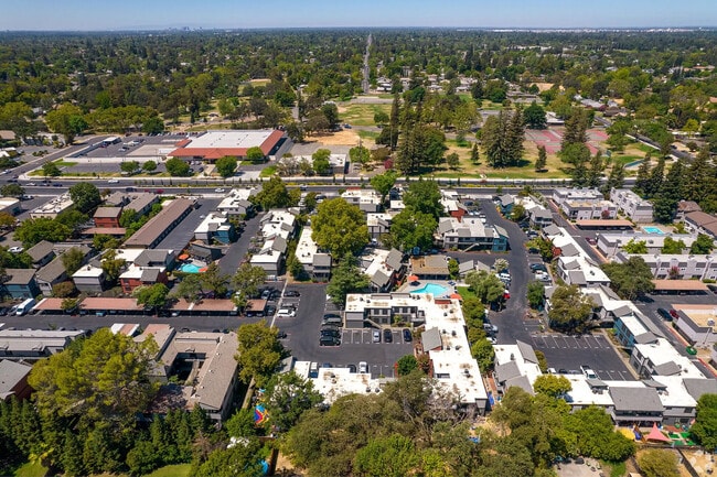
7000 Fair Oaks Blvd, Carmichael, CA 95608


NEARBY LISTINGS FOR SALE OR LEASE
Property Detail
7000 Fair Oaks Blvd
Sacramento--Roseville--Arden-Arcade, CA
Carmichael Colony
260-0331-028
PORTION LOT109
Apartment
Sacramento
X
California
06067C0089J
109
2024
1.76 AC
2025
Outer Carmichael/Citrus Heights
007801
Sacramento
39,103 SF
DEMOGRAPHICS near 7000 Fair Oaks Blvd
1 Mile
3 Mile
5 Mile
2024 Total Population
16,691
139,405
367,967
2029 Population
16,767
139,890
369,703
Pop Growth 2024-2029
+ 0.46%
+ 0.35%
+ 0.47%
Average Age
41
41
40
2024 Total Households
6,637
54,600
141,695
HH Growth 2024-2029
+ 0.42%
+ 0.31%
+ 0.44%
Median Household Inc
$74,978
$78,617
$72,974
Avg Household Size
2.40
2.50
2.50
2024 Avg HH Vehicles
2.00
2.00
2.00
Median Home Value
$561,118
$478,287
$448,158
Median Year Built
1973
1969
1972
Nearby Places
Map Layers
Map Styles
 Street
 Aerial
- Restaurants
- Banks
- Shops
- Fitness
- Groceries
PUBLIC TRANSPORTATION
AIRPORT
Sacramento International
DRIVE
WALK
Distance
Sacramento International
30 min
19.5 mi
Freight Ports
Port of Stockton
DRIVE
WALK
Distance
Port of Stockton
72 min
59.0 mi
Nearby Properties
Address
Land Use
TOTAL SIZE
Lot Size
Zoning
Address
Land Use
TOTAL SIZE
Lot Size
Zoning
512,630 SF
37.68 AC
SPA (NPA)
Address
Land Use
TOTAL SIZE
Lot Size
Zoning
212,037 SF
17.20 AC
BP
Address
Land Use
TOTAL SIZE
Lot Size
Zoning
145,334 SF
8.84 AC
RD-20
Address
Land Use
TOTAL SIZE
Lot Size
Zoning
278,877 SF
13.17 AC
RD-30
Address
Land Use
TOTAL SIZE
Lot Size
Zoning
75,700 SF
4.02 AC
RD-40
Address
Land Use
TOTAL SIZE
Lot Size
Zoning
21,890 SF
0.50 AC
SC
Address
Land Use
TOTAL SIZE
Lot Size
Zoning
99,408 SF
3.53 AC
BP
Address
Land Use
TOTAL SIZE
Lot Size
Zoning
140,102 SF
3.30 AC
RD-20
Address
Land Use
TOTAL SIZE
Lot Size
Zoning
89,098 SF
4.93 AC
RD-40
Address
Land Use
TOTAL SIZE
Lot Size
Zoning
148,576 SF
4.84 AC
RD-30
Address
Land Use
TOTAL SIZE
Lot Size
Zoning
43,183 SF
12.35 AC
H F
Address
Land Use
TOTAL SIZE
Lot Size
Zoning
72,119 SF
2.38 AC
BP (NPA)
Address
Land Use
TOTAL SIZE
Lot Size
Zoning
1,484 SF
4.94 AC
RD-20
Address
Land Use
TOTAL SIZE
Lot Size
Zoning
90,972 SF
2.36 AC
RD-40
Address
Land Use
TOTAL SIZE
Lot Size
Zoning
135,053 SF
6.66 AC
LC SC RD-4
Address
Land Use
TOTAL SIZE
Lot Size
Zoning
110,533 SF
4.17 AC
RD-5 RD-40
Address
Land Use
TOTAL SIZE
Lot Size
Zoning
166,300 SF
8.04 AC
RD-40 RD-2
Address
Land Use
TOTAL SIZE
Lot Size
Zoning
103,414 SF
5.01 AC
RD-30
Address
Land Use
TOTAL SIZE
Lot Size
Zoning
106,437 SF
4.73 AC
RD-30
Address
Land Use
TOTAL SIZE
Lot Size
Zoning
100,462 SF
5.02 AC
RD-30
Address
Land Use
TOTAL SIZE
Lot Size
Zoning
122,175 SF
10.10 AC
CMU (FBSP)
Address
Land Use
TOTAL SIZE
Lot Size
Zoning
130,708 SF
8.85 AC
RD-30
Address
Land Use
TOTAL SIZE
Lot Size
Zoning
120,568 SF
5.64 AC
RD-30
Address
Land Use
TOTAL SIZE
Lot Size
Zoning
60,582 SF
3.55 AC
RD-20
Address
Land Use
TOTAL SIZE
Lot Size
Zoning
138,601 SF
13.78 AC
SC
Address
Land Use
TOTAL SIZE
Lot Size
Zoning
44,208 SF
3.17 AC
RD-20
Address
Land Use
TOTAL SIZE
Lot Size
Zoning
78,238 SF
3.37 AC
RD-30
Address
Land Use
TOTAL SIZE
Lot Size
Zoning
56,243 SF
2.23 AC
RD-5
Address
Land Use
TOTAL SIZE
Lot Size
Zoning
81,983 SF
4.49 AC
RD-20
Address
Land Use
TOTAL SIZE
Lot Size
Zoning
72,488 SF
4.60 AC
RD 20
The World's #1 Commercial Real Estate Marketplace
Connect with us
© 2025 CoStar Group
The information above has been obtained from sources believed reliable. While we do not doubt its accuracy we have not verified it and make no guarantee, warranty or representation about it. It is your responsibility to independently confirm its accuracy and completeness. Any projections, opinions, assumptions, or estimates used are for example only and do not represent the current or future performance of the property. The value of this transaction to you depends on tax and other factors which should be evaluated by your tax, financial, and legal advisors. You and your advisors should conduct a careful, independent investigation of the property to determine to your satisfaction the suitability of the property for your needs.