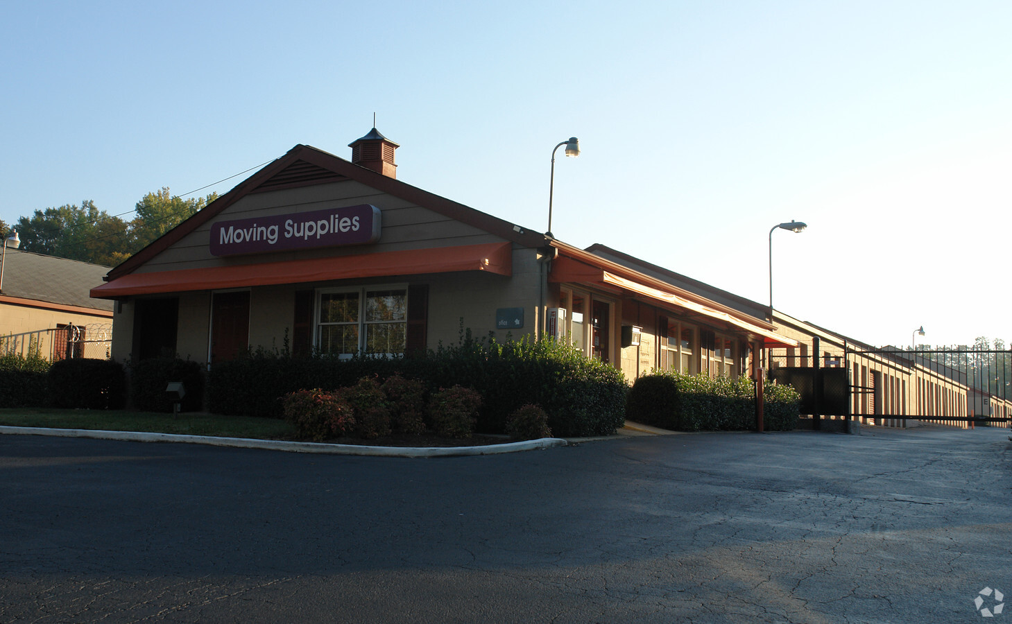
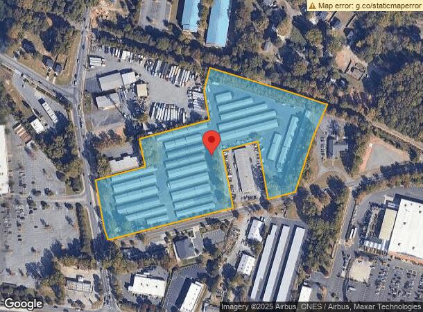
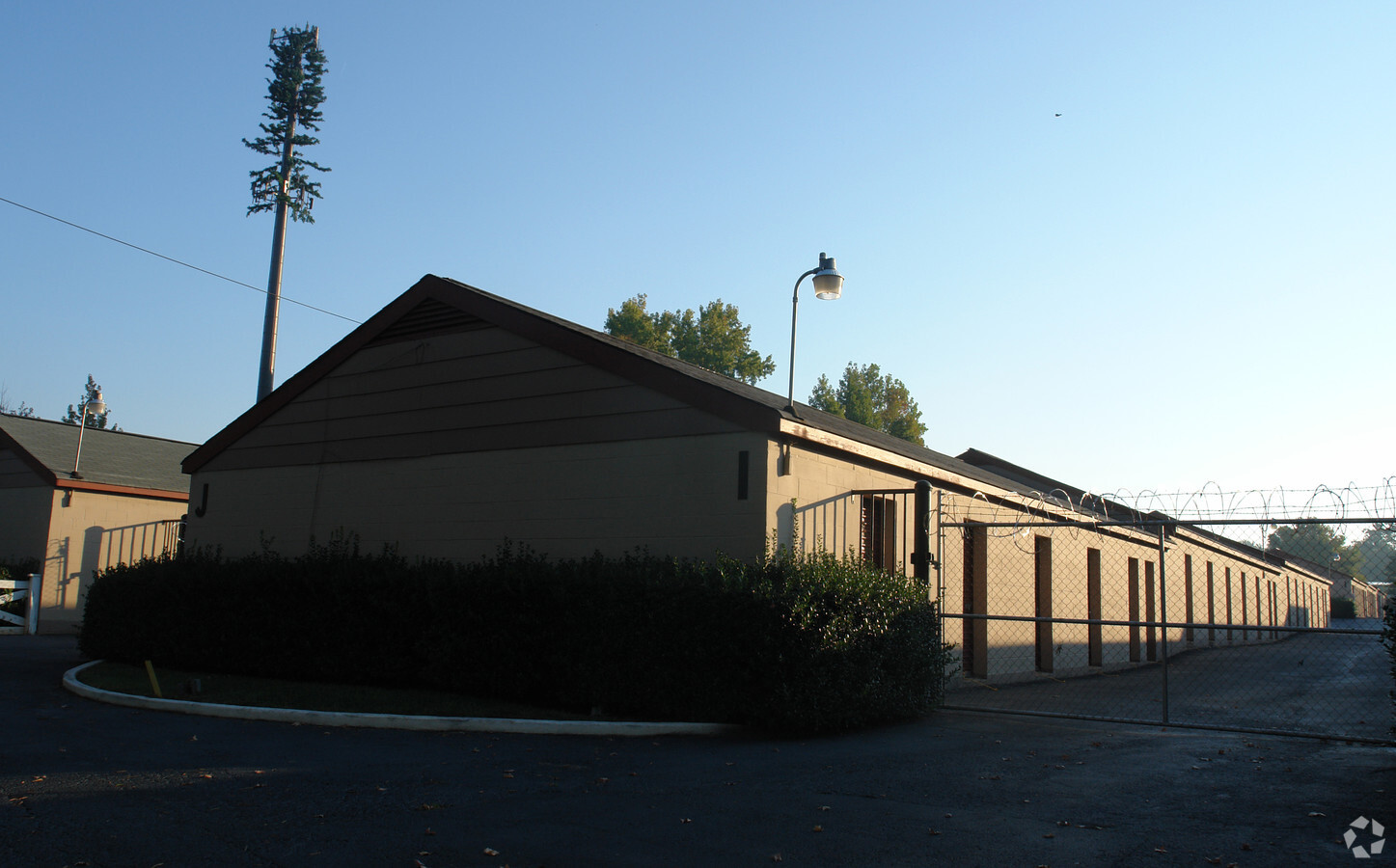
Property Record
7000 Harrisburg Rd, Charlotte, NC 28215
NEARBY LISTINGS FOR SALE OR LEASE
Property Detail
7000 Harrisburg Rd
111-151-01
Huntcliff
Publicstorage
Mecklenburg
X
North Carolina
3710459300K
1
2023
9.95 AC
2023
East Charlotte
0019222013
Charlotte
108,786 SF
Charlotte-Concord-Gastonia, NC-SC
DEMOGRAPHICS near 7000 Harrisburg Rd
1 Mile
3 Mile
5 Mile
2024 Total Population
7,659
67,827
172,316
2029 Population
8,179
71,761
182,204
Pop Growth 2024-2029
+ 6.79%
+ 5.80%
+ 5.74%
Average Age
36
37
37
2024 Total Households
2,500
24,101
63,376
HH Growth 2024-2029
+ 6.64%
+ 5.79%
+ 5.70%
Median Household Inc
$58,557
$58,703
$60,518
Avg Household Size
2.90
2.70
2.60
2024 Avg HH Vehicles
2.00
2.00
2.00
Median Home Value
$203,619
$247,314
$263,111
Median Year Built
1984
1988
1986
Nearby Places
- Restaurants
- Banks
- Shops
- Fitness
- Groceries
PUBLIC TRANSPORTATION
AIRPORT
Charlotte/Douglas International
DRIVE
WALK
Distance
Charlotte/Douglas International
31 min
17.6 mi
Concord-Padgett Regional
DRIVE
WALK
Distance
Concord-Padgett Regional
25 min
17.8 mi
Freight Ports
North Charleston Terminal
DRIVE
WALK
Distance
North Charleston Terminal
244 min
209.4 mi
Nearby Properties
Address
Land Use
TOTAL SIZE
Lot Size
Zoning
Address
Land Use
TOTAL SIZE
Lot Size
Zoning
539,702 SF
83.70 AC
I
Address
Land Use
TOTAL SIZE
Lot Size
Zoning
209,287 SF
34.39 AC
Address
Land Use
TOTAL SIZE
Lot Size
Zoning
347,952 SF
28.37 AC
OACUD
Address
Land Use
TOTAL SIZE
Lot Size
Zoning
324,323 SF
31.39 AC
R17MF
Address
Land Use
TOTAL SIZE
Lot Size
Zoning
261,701 SF
11.05 AC
R-17MF(CD)
Address
Land Use
TOTAL SIZE
Lot Size
Zoning
311,245 SF
16.83 AC
INSTCD
Address
Land Use
TOTAL SIZE
Lot Size
Zoning
187,371 SF
7.31 AC
Address
Land Use
TOTAL SIZE
Lot Size
Zoning
333,774 SF
64.04 AC
I
Address
Land Use
TOTAL SIZE
Lot Size
Zoning
270,091 SF
32.43 AC
R17MF
Address
Land Use
TOTAL SIZE
Lot Size
Zoning
205,701 SF
13.73 AC
OACUD
Address
Land Use
TOTAL SIZE
Lot Size
Zoning
249,650 SF
20.17 AC
R17MF
Address
Land Use
TOTAL SIZE
Lot Size
Zoning
207,338 SF
13.96 AC
R17MF
Address
Land Use
TOTAL SIZE
Lot Size
Zoning
155,648 SF
22.52 AC
R20MF
Address
Land Use
TOTAL SIZE
Lot Size
Zoning
170,913 SF
11.36 AC
R17MF
Address
Land Use
TOTAL SIZE
Lot Size
Zoning
166,800 SF
19.50 AC
R17MF
Address
Land Use
TOTAL SIZE
Lot Size
Zoning
220,767 SF
40.75 AC
R17MF
Address
Land Use
TOTAL SIZE
Lot Size
Zoning
148,190 SF
14.50 AC
R17MF
Address
Land Use
TOTAL SIZE
Lot Size
Zoning
137,719 SF
15.84 AC
O1
Address
Land Use
TOTAL SIZE
Lot Size
Zoning
96,071 SF
7.44 AC
Address
Land Use
TOTAL SIZE
Lot Size
Zoning
126,080 SF
10.94 AC
R17MF
Address
Land Use
TOTAL SIZE
Lot Size
Zoning
239,983 SF
21.40 AC
I-G(CD)
Address
Land Use
TOTAL SIZE
Lot Size
Zoning
126,174 SF
12.13 AC
R9MFCD
Address
Land Use
TOTAL SIZE
Lot Size
Zoning
96,660 SF
8.44 AC
BGCUD
Address
Land Use
TOTAL SIZE
Lot Size
Zoning
58,134 SF
5.08 AC
IGCUD
Address
Land Use
TOTAL SIZE
Lot Size
Zoning
104,386 SF
13 AC
R4
Address
Land Use
TOTAL SIZE
Lot Size
Zoning
146,650 SF
15.45 AC
CC
Address
Land Use
TOTAL SIZE
Lot Size
Zoning
72,768 SF
5.08 AC
OACUD
Address
Land Use
TOTAL SIZE
Lot Size
Zoning
124,191 SF
13.86 AC
CC
Address
Land Use
TOTAL SIZE
Lot Size
Zoning
120,944 SF
16.40 AC
R-15(CD)
Address
Land Use
TOTAL SIZE
Lot Size
Zoning
83,258 SF
5.32 AC
BDCD
The World's #1 Commercial Real Estate Marketplace
Connect with us
© 2025 CoStar Group
The information above has been obtained from sources believed reliable. While we do not doubt its accuracy we have not verified it and make no guarantee, warranty or representation about it. It is your responsibility to independently confirm its accuracy and completeness. Any projections, opinions, assumptions, or estimates used are for example only and do not represent the current or future performance of the property. The value of this transaction to you depends on tax and other factors which should be evaluated by your tax, financial, and legal advisors. You and your advisors should conduct a careful, independent investigation of the property to determine to your satisfaction the suitability of the property for your needs.