Property Record
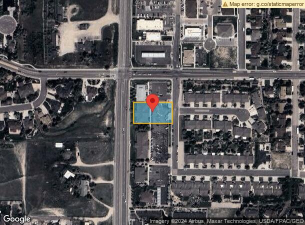
7000 Yellowtail Rd, Cheyenne, WY 82009
NEARBY LISTINGS FOR SALE OR LEASE
-
-
View all Cheyenne listings for lease on LoopNet.com
Property Detail
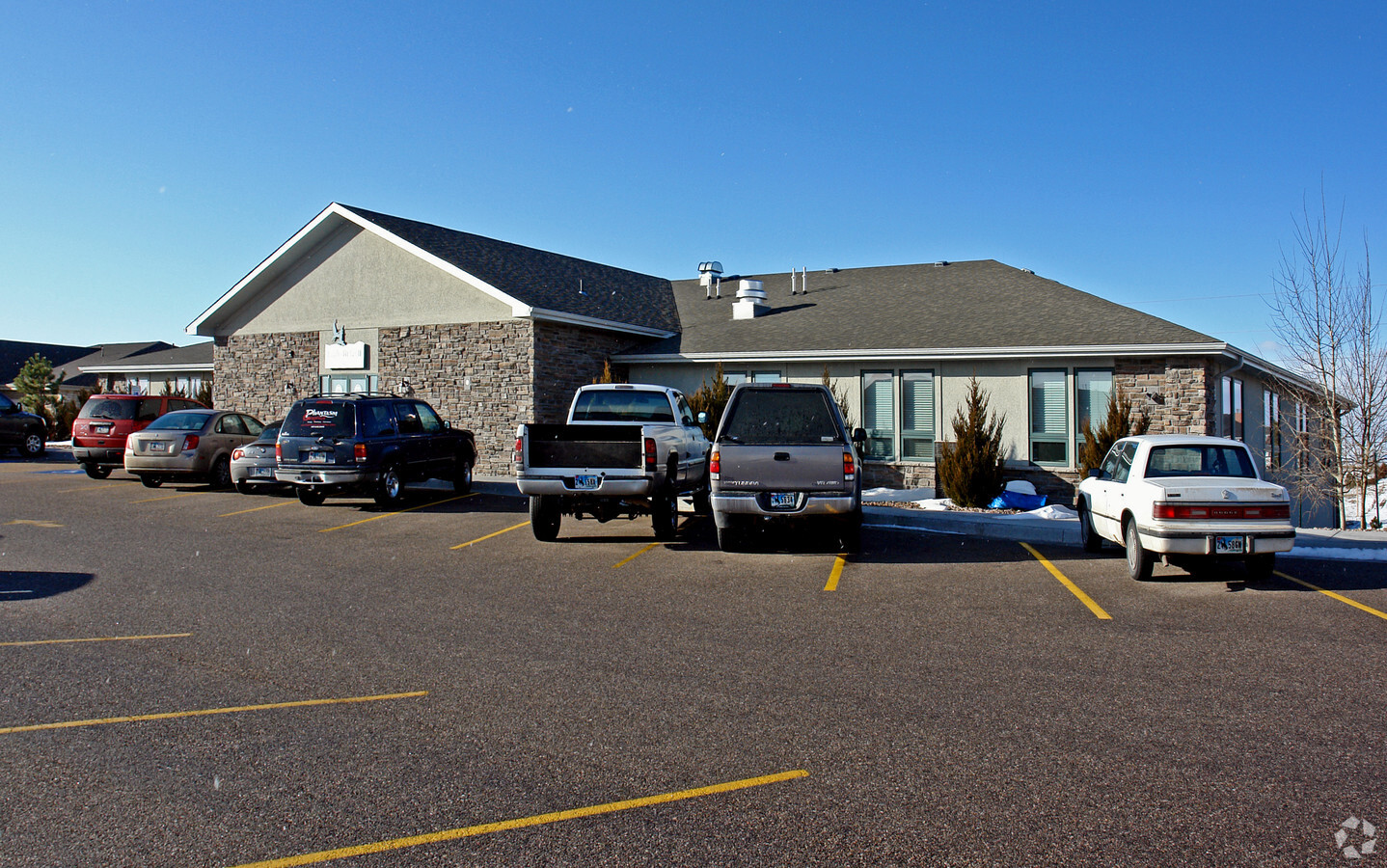
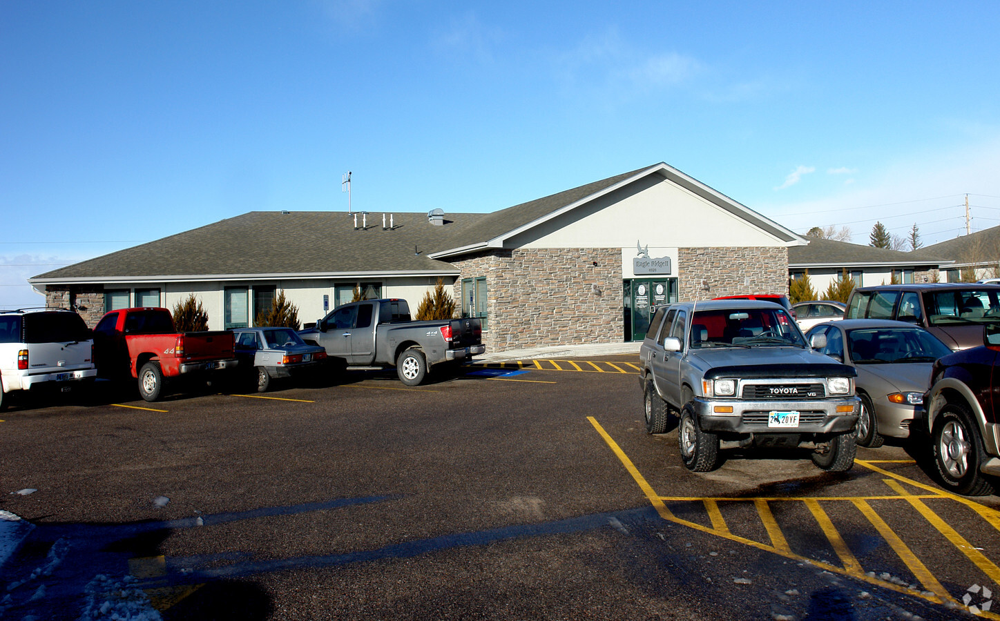
7000 Yellowtail Rd
Cheyenne, WY
Eagle Ridge
1-3402-0001-0002-0
EAGLE RIDGE: LOT 2, BLOCK 1
Commercialnec
Laramie
X
Wyoming
56021C1087F
2
2023
0.65 AC
2024
I-80 Corridor/Cheyenne
0013001015
Other Market Areas
14,340 SF
DEMOGRAPHICS near 7000 Yellowtail Rd
1 Mile
3 Mile
5 Mile
2024 Total Population
9,186
29,945
68,036
2029 Population
9,327
30,445
69,240
Pop Growth 2024-2029
+ 1.53%
+ 1.67%
+ 1.77%
Average Age
44
42
40
2024 Total Households
3,959
12,956
29,193
HH Growth 2024-2029
+ 1.59%
+ 1.74%
+ 1.89%
Median Household Inc
$82,561
$72,911
$62,269
Avg Household Size
2.30
2.20
2.20
2024 Avg HH Vehicles
2.00
2.00
2.00
Median Home Value
$349,597
$342,449
$286,739
Median Year Built
1982
1975
1975
Nearby Places
- Restaurants
- Banks
- Shops
- Fitness
- Groceries
SALE & LEASE HISTORY
LISTING DATE
SALE/LEASE

Sep 25, 2016
For Lease
Nearby Properties
Address
Land Use
TOTAL SIZE
Lot Size
Zoning
Address
Land Use
TOTAL SIZE
Lot Size
Zoning
332336
30.24 AC
Address
Land Use
TOTAL SIZE
Lot Size
Zoning
Address
Land Use
TOTAL SIZE
Lot Size
Zoning
148018
Address
Land Use
TOTAL SIZE
Lot Size
Zoning
219227
21.97 AC
CB
Address
Land Use
TOTAL SIZE
Lot Size
Zoning
Address
Land Use
TOTAL SIZE
Lot Size
Zoning
109744
7.04 AC
Address
Land Use
TOTAL SIZE
Lot Size
Zoning
118588
3.20 AC
CB
Address
Land Use
TOTAL SIZE
Lot Size
Zoning
132839
6.38 AC
Address
Land Use
TOTAL SIZE
Lot Size
Zoning
76524
6 AC
Address
Land Use
TOTAL SIZE
Lot Size
Zoning
85314
5.50 AC
P
Address
Land Use
TOTAL SIZE
Lot Size
Zoning
142588
3.54 AC
PUD
Address
Land Use
TOTAL SIZE
Lot Size
Zoning
81948
9.39 AC
CB
Address
Land Use
TOTAL SIZE
Lot Size
Zoning
204822
6.88 AC
HR1
Address
Land Use
TOTAL SIZE
Lot Size
Zoning
83059
8.88 AC
CB
Address
Land Use
TOTAL SIZE
Lot Size
Zoning
79186
3.09 AC
Address
Land Use
TOTAL SIZE
Lot Size
Zoning
108332
0.80 AC
MUB
Address
Land Use
TOTAL SIZE
Lot Size
Zoning
148152
15.54 AC
CB
Address
Land Use
TOTAL SIZE
Lot Size
Zoning
67628
2.23 AC
Address
Land Use
TOTAL SIZE
Lot Size
Zoning
137640
14.43 AC
CB
Address
Land Use
TOTAL SIZE
Lot Size
Zoning
70251
0.77 AC
Address
Land Use
TOTAL SIZE
Lot Size
Zoning
6042
0.09 AC
DR
Address
Land Use
TOTAL SIZE
Lot Size
Zoning
Address
Land Use
TOTAL SIZE
Lot Size
Zoning
66099
4.46 AC
PUD
Address
Land Use
TOTAL SIZE
Lot Size
Zoning
25369
1.64 AC
PUD
Address
Land Use
TOTAL SIZE
Lot Size
Zoning
100926
8.46 AC
PUD
Address
Land Use
TOTAL SIZE
Lot Size
Zoning
70112
5.74 AC
PUD
Address
Land Use
TOTAL SIZE
Lot Size
Zoning
230988
11.99 AC
CB
Address
Land Use
TOTAL SIZE
Lot Size
Zoning
44552
2.89 AC
AD
Address
Land Use
TOTAL SIZE
Lot Size
Zoning
42570
1.50 AC
Address
Land Use
TOTAL SIZE
Lot Size
Zoning
68633
5.87 AC
CB
Start a new search to find other properties for sale or lease
Connect with us
© 2024 CoStar Group
The information above has been obtained from sources believed reliable. While we do not doubt its accuracy we have not verified it and make no guarantee, warranty or representation about it. It is your responsibility to independently confirm its accuracy and completeness. Any projections, opinions, assumptions, or estimates used are for example only and do not represent the current or future performance of the property. The value of this transaction to you depends on tax and other factors which should be evaluated by your tax, financial, and legal advisors. You and your advisors should conduct a careful, independent investigation of the property to determine to your satisfaction the suitability of the property for your needs.