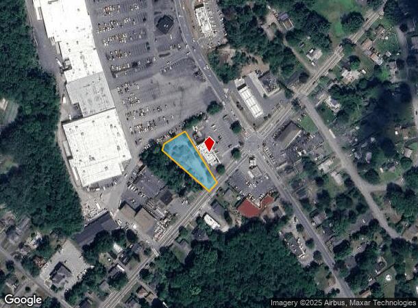
Property Record
701 Church St, Whitinsville, MA 01588
Current Lease Availabilities
NEARBY LISTINGS FOR SALE OR LEASE
-
-
View all Whitinsville listings for lease on LoopNet.com
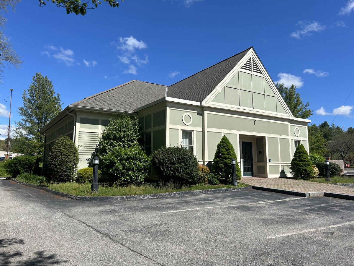
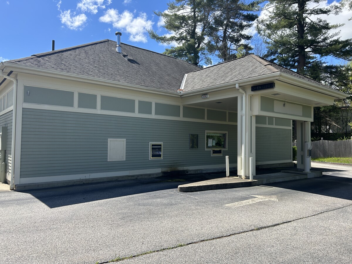
Property Detail
701 Church St
Financialbuilding
Worcester
X
Massachusetts
25027C1007E
0.70 AC
2024
Outlying Worcester
2024
Boston
750200
Worcester, MA-CT
2,636 SF
NBRI-000023-A000082
DEMOGRAPHICS near 701 Church St
1 Mile
3 Mile
5 Mile
2024 Total Population
3,486
22,936
49,330
2029 Population
3,502
22,866
49,175
Pop Growth 2024-2029
+ 0.46%
(0.31%)
(0.31%)
Average Age
41
42
42
2024 Total Households
1,379
8,957
18,836
HH Growth 2024-2029
+ 0.36%
(0.40%)
(0.38%)
Median Household Inc
$98,544
$109,202
$115,373
Avg Household Size
2.50
2.50
2.60
2024 Avg HH Vehicles
2.00
2.00
2.00
Median Home Value
$382,594
$405,836
$431,363
Median Year Built
1970
1974
1977
Nearby Places
- Restaurants
- Banks
- Shops
- Fitness
- Groceries
PUBLIC TRANSPORTATION
AIRPORT
Worcester Regional
DRIVE
WALK
Distance
Worcester Regional
33 min
20.3 mi
Rhode Island Tf Green International
DRIVE
WALK
Distance
Rhode Island Tf Green International
52 min
37.3 mi
Freight Ports
Port of Boston
DRIVE
WALK
Distance
Port of Boston
63 min
43.5 mi
Nearby Properties
Address
Land Use
TOTAL SIZE
Lot Size
Zoning
Address
Land Use
TOTAL SIZE
Lot Size
Zoning
161,541 SF
30.04 AC
Address
Land Use
TOTAL SIZE
Lot Size
Zoning
158,722 SF
77.55 AC
Address
Land Use
TOTAL SIZE
Lot Size
Zoning
173,667 SF
2.44 AC
Address
Land Use
TOTAL SIZE
Lot Size
Zoning
147,000 SF
35.28 AC
5
Address
Land Use
TOTAL SIZE
Lot Size
Zoning
246,552 SF
24.55 AC
Address
Land Use
TOTAL SIZE
Lot Size
Zoning
607,486 SF
31.09 AC
OLI
Address
Land Use
TOTAL SIZE
Lot Size
Zoning
178,775 SF
36.78 AC
Address
Land Use
TOTAL SIZE
Lot Size
Zoning
12.93 AC
Address
Land Use
TOTAL SIZE
Lot Size
Zoning
22,520 SF
7.03 AC
Address
Land Use
TOTAL SIZE
Lot Size
Zoning
37,781 SF
29.16 AC
Address
Land Use
TOTAL SIZE
Lot Size
Zoning
75,977 SF
12.90 AC
RB
Address
Land Use
TOTAL SIZE
Lot Size
Zoning
55,671 SF
3.53 AC
Address
Land Use
TOTAL SIZE
Lot Size
Zoning
67,716 SF
42.39 AC
Address
Land Use
TOTAL SIZE
Lot Size
Zoning
2,576 SF
3.37 AC
5
Address
Land Use
TOTAL SIZE
Lot Size
Zoning
12.65 AC
Address
Land Use
TOTAL SIZE
Lot Size
Zoning
50.49 AC
Address
Land Use
TOTAL SIZE
Lot Size
Zoning
19,913 SF
0.78 AC
Address
Land Use
TOTAL SIZE
Lot Size
Zoning
17.12 AC
Address
Land Use
TOTAL SIZE
Lot Size
Zoning
41,071 SF
0.61 AC
RA
Address
Land Use
TOTAL SIZE
Lot Size
Zoning
6.17 AC
Address
Land Use
TOTAL SIZE
Lot Size
Zoning
2.72 AC
Address
Land Use
TOTAL SIZE
Lot Size
Zoning
Address
Land Use
TOTAL SIZE
Lot Size
Zoning
28,170 SF
2.02 AC
RC
Address
Land Use
TOTAL SIZE
Lot Size
Zoning
28,875 SF
0.61 AC
Address
Land Use
TOTAL SIZE
Lot Size
Zoning
1.79 AC
Address
Land Use
TOTAL SIZE
Lot Size
Zoning
57,554 SF
2.19 AC
Address
Land Use
TOTAL SIZE
Lot Size
Zoning
146.25 AC
Address
Land Use
TOTAL SIZE
Lot Size
Zoning
35,706 SF
2.87 AC
RB
Address
Land Use
TOTAL SIZE
Lot Size
Zoning
37,580 SF
14.10 AC
RB
Address
Land Use
TOTAL SIZE
Lot Size
Zoning
30,821 SF
3.83 AC
The World's #1 Commercial Real Estate Marketplace
Connect with us
© 2025 CoStar Group
The information above has been obtained from sources believed reliable. While we do not doubt its accuracy we have not verified it and make no guarantee, warranty or representation about it. It is your responsibility to independently confirm its accuracy and completeness. Any projections, opinions, assumptions, or estimates used are for example only and do not represent the current or future performance of the property. The value of this transaction to you depends on tax and other factors which should be evaluated by your tax, financial, and legal advisors. You and your advisors should conduct a careful, independent investigation of the property to determine to your satisfaction the suitability of the property for your needs.