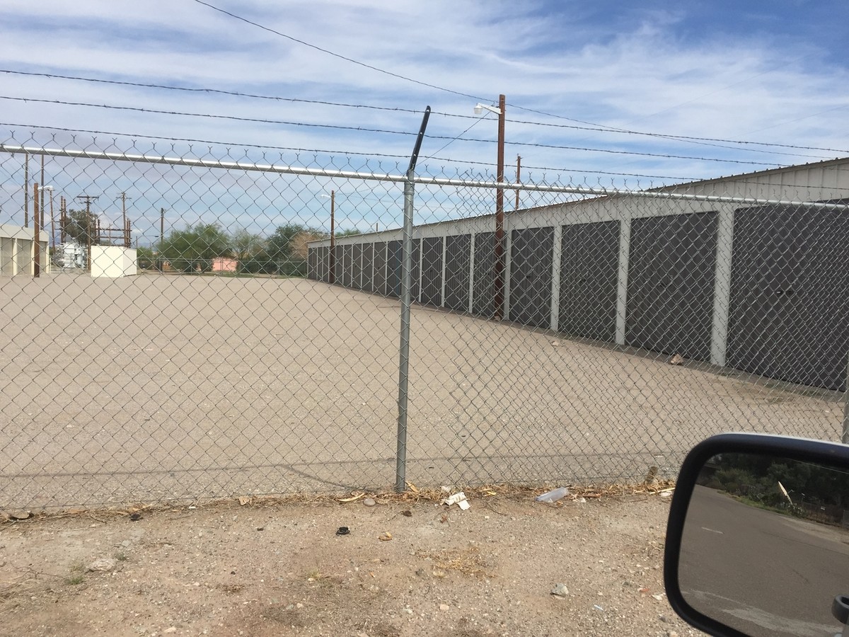
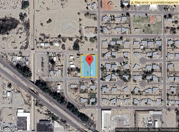
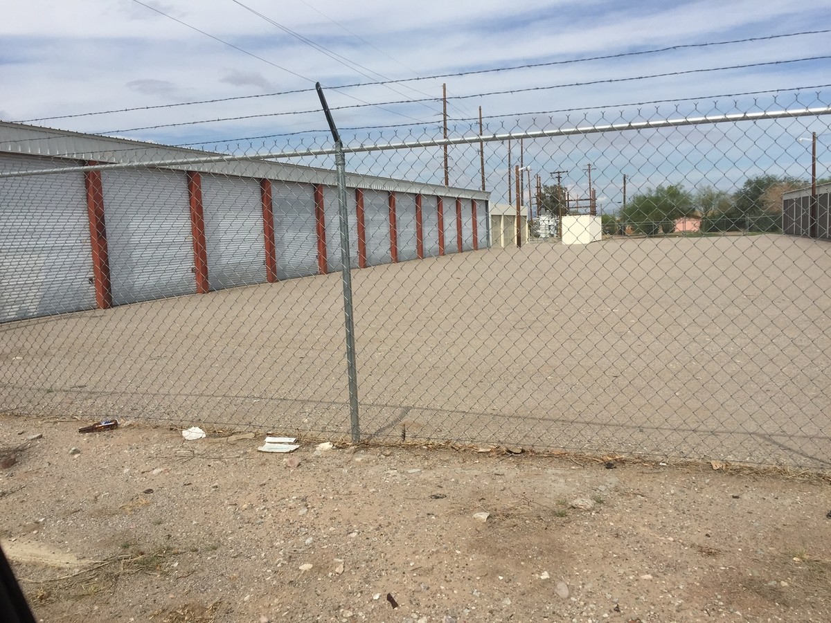
Property Record
701 Q St, Needles, CA 92363
NEARBY LISTINGS FOR SALE OR LEASE
-
-
View all Needles listings for sale on LoopNet.com
Property Detail
701 Q St
0185-032-01
Denars
Publicstorage
DENA1RS SUB NO 2 BLK 2 N 1/2 NW 1/4 NE 1/4 SEC 3O TP 9N R 23E
X
San Bernardino
04015C5375J
California
2023
0.99 AC
2024
San Bernardino Outlying
010700
Inland Empire (California)
18,860 SF
Riverside-San Bernardino-Ontario, CA
DEMOGRAPHICS near 701 Q St
1 Mile
3 Mile
5 Mile
2024 Total Population
2,688
9,708
12,580
2029 Population
2,849
10,447
13,643
Pop Growth 2024-2029
+ 5.99%
+ 7.61%
+ 8.45%
Average Age
45
43
44
2024 Total Households
1,156
3,922
5,103
HH Growth 2024-2029
+ 6.14%
+ 7.67%
+ 8.70%
Median Household Inc
$43,866
$42,141
$42,571
Avg Household Size
2.30
2.50
2.40
2024 Avg HH Vehicles
2.00
2.00
2.00
Median Home Value
$196,511
$178,428
$194,900
Median Year Built
1986
1986
1986
Nearby Places
- Restaurants
- Banks
- Shops
- Fitness
- Groceries
PUBLIC TRANSPORTATION
COMMUTER RAIL
Needles Amtrak (Southwest Chief - Amtrak)
DRIVE
WALK
Distance
Needles Amtrak (Southwest Chief - Amtrak)
2 min
1.2 mi
AIRPORT
Laughlin/Bullhead International
DRIVE
WALK
Distance
Laughlin/Bullhead International
44 min
25.9 mi
Freight Ports
Port of San Diego
DRIVE
WALK
Distance
Port of San Diego
355 min
320.0 mi
Nearby Properties
Address
Land Use
TOTAL SIZE
Lot Size
Zoning
Address
Land Use
TOTAL SIZE
Lot Size
Zoning
46,499 SF
1.56 AC
Address
Land Use
TOTAL SIZE
Lot Size
Zoning
80,000 SF
4.53 AC
Address
Land Use
TOTAL SIZE
Lot Size
Zoning
46,400 SF
1.60 AC
Address
Land Use
TOTAL SIZE
Lot Size
Zoning
164,720 SF
7.52 AC
Address
Land Use
TOTAL SIZE
Lot Size
Zoning
30,375 SF
14.89 AC
Address
Land Use
TOTAL SIZE
Lot Size
Zoning
46,500 SF
2.17 AC
Address
Land Use
TOTAL SIZE
Lot Size
Zoning
90,750 SF
6.07 AC
Address
Land Use
TOTAL SIZE
Lot Size
Zoning
29,181 SF
1.42 AC
Address
Land Use
TOTAL SIZE
Lot Size
Zoning
31,450 SF
2.50 AC
Address
Land Use
TOTAL SIZE
Lot Size
Zoning
20,000 SF
1.87 AC
Address
Land Use
TOTAL SIZE
Lot Size
Zoning
54,291 SF
6.96 AC
Address
Land Use
TOTAL SIZE
Lot Size
Zoning
46,400 SF
21.61 AC
Address
Land Use
TOTAL SIZE
Lot Size
Zoning
24,726 SF
2.15 AC
Address
Land Use
TOTAL SIZE
Lot Size
Zoning
51,234 SF
3.40 AC
Address
Land Use
TOTAL SIZE
Lot Size
Zoning
138,537 SF
6.30 AC
Address
Land Use
TOTAL SIZE
Lot Size
Zoning
4,941 SF
0.52 AC
Address
Land Use
TOTAL SIZE
Lot Size
Zoning
12,400 SF
0.21 AC
Address
Land Use
TOTAL SIZE
Lot Size
Zoning
40,136 SF
4.52 AC
Address
Land Use
TOTAL SIZE
Lot Size
Zoning
69,900 SF
5.89 AC
Address
Land Use
TOTAL SIZE
Lot Size
Zoning
12,500 SF
0.80 AC
Address
Land Use
TOTAL SIZE
Lot Size
Zoning
107,868 SF
13 AC
Address
Land Use
TOTAL SIZE
Lot Size
Zoning
308,000 SF
Address
Land Use
TOTAL SIZE
Lot Size
Zoning
9,100 SF
2.14 AC
Address
Land Use
TOTAL SIZE
Lot Size
Zoning
48,384 SF
2.46 AC
Address
Land Use
TOTAL SIZE
Lot Size
Zoning
7,734 SF
16.07 AC
Address
Land Use
TOTAL SIZE
Lot Size
Zoning
6,875 SF
0.41 AC
Address
Land Use
TOTAL SIZE
Lot Size
Zoning
42,840 SF
2.57 AC
Address
Land Use
TOTAL SIZE
Lot Size
Zoning
12,400 SF
0.41 AC
Address
Land Use
TOTAL SIZE
Lot Size
Zoning
21,680 SF
1.72 AC
Address
Land Use
TOTAL SIZE
Lot Size
Zoning
26,000 SF
0.52 AC
The World's #1 Commercial Real Estate Marketplace
Connect with us
© 2025 CoStar Group
The information above has been obtained from sources believed reliable. While we do not doubt its accuracy we have not verified it and make no guarantee, warranty or representation about it. It is your responsibility to independently confirm its accuracy and completeness. Any projections, opinions, assumptions, or estimates used are for example only and do not represent the current or future performance of the property. The value of this transaction to you depends on tax and other factors which should be evaluated by your tax, financial, and legal advisors. You and your advisors should conduct a careful, independent investigation of the property to determine to your satisfaction the suitability of the property for your needs.