Property Record
702 W Briarwood Ln, Nixa, MO 65714

NEARBY LISTINGS FOR SALE OR LEASE
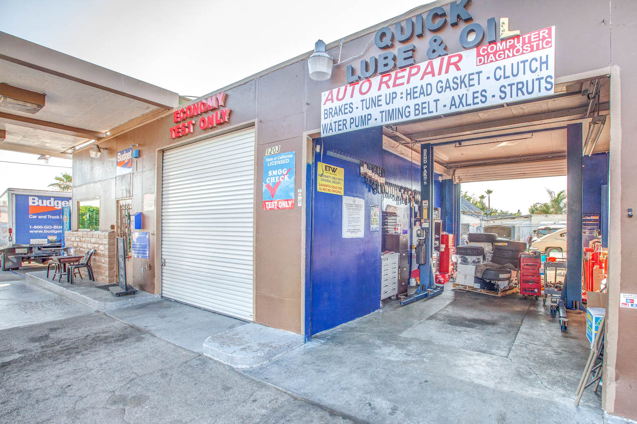
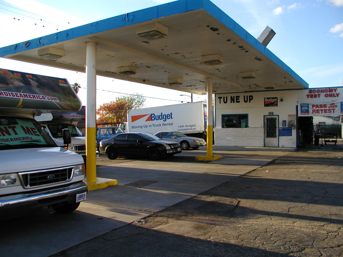
Property Detail
702 W Briarwood Ln
Los Angeles-Long Beach-Glendale, CA
5481
2513-020-039
TRACT # 5481 SW 20 FT OF LOT 110 AND ALL OF LOTS 111 AND LOT/SEC 112
Commercialacreage
Los Angeles
X
California
06037C1075G
110-1
2024
0.07 AC
2024
Eastern SFV
320102
Los Angeles
DEMOGRAPHICS near 702 W Briarwood Ln
1 Mile
3 Mile
5 Mile
2024 Total Population
26,720
170,983
330,540
2029 Population
25,662
163,842
317,995
Pop Growth 2024-2029
(3.96%)
(4.18%)
(3.80%)
Average Age
37
37
38
2024 Total Households
6,582
42,560
86,574
HH Growth 2024-2029
(4.19%)
(4.45%)
(4.02%)
Median Household Inc
$88,313
$74,720
$78,495
Avg Household Size
3.80
3.70
3.60
2024 Avg HH Vehicles
3.00
2.00
2.00
Median Home Value
$646,187
$632,833
$670,776
Median Year Built
1960
1966
1965
Nearby Places
- Restaurants
- Banks
- Shops
- Fitness
- Groceries
PUBLIC TRANSPORTATION
COMMUTER RAIL
Sylmar/San Fernando (Antelope Valley Line - Southern California Regional Rail Authority (Metrolink))
DRIVE
WALK
Distance
Sylmar/San Fernando (Antelope Valley Line - Southern California Regional Rail Authority (Metrolink))
4 min
2.3 mi
Sun Valley (Antelope Valley Line - Southern California Regional Rail Authority (Metrolink))
DRIVE
WALK
Distance
Sun Valley (Antelope Valley Line - Southern California Regional Rail Authority (Metrolink))
11 min
7.1 mi
AIRPORT
Bob Hope
DRIVE
WALK
Distance
Bob Hope
15 min
9.0 mi
Los Angeles International
DRIVE
WALK
Distance
Los Angeles International
39 min
29.3 mi
Freight Ports
Port of Long Beach
DRIVE
WALK
Distance
Port of Long Beach
61 min
48.6 mi
SALE & LEASE HISTORY
LISTING DATE
SALE/LEASE

Sep 10, 2018
For Sale
Nearby Properties
Address
Land Use
TOTAL SIZE
Lot Size
Zoning
Address
Land Use
TOTAL SIZE
Lot Size
Zoning
237,451 SF
13.93 AC
LAA2
Address
Land Use
TOTAL SIZE
Lot Size
Zoning
124,418 SF
6.80 AC
LAC1
Address
Land Use
TOTAL SIZE
Lot Size
Zoning
281,288 SF
34.03 AC
LAM2
Address
Land Use
TOTAL SIZE
Lot Size
Zoning
196,404 SF
10.06 AC
LARD1.5
Address
Land Use
TOTAL SIZE
Lot Size
Zoning
185,568 SF
9.06 AC
LARD1.5
Address
Land Use
TOTAL SIZE
Lot Size
Zoning
169,259 SF
2.56 AC
LAC1
Address
Land Use
TOTAL SIZE
Lot Size
Zoning
176,704 SF
4.10 AC
LAR3
Address
Land Use
TOTAL SIZE
Lot Size
Zoning
176,160 SF
3.19 AC
LAR3
Address
Land Use
TOTAL SIZE
Lot Size
Zoning
96,792 SF
5.52 AC
LARD2
Address
Land Use
TOTAL SIZE
Lot Size
Zoning
100,967 SF
11.78 AC
LAP
Address
Land Use
TOTAL SIZE
Lot Size
Zoning
150,041 SF
10.46 AC
LAA2
Address
Land Use
TOTAL SIZE
Lot Size
Zoning
105,541 SF
7.29 AC
LARA
Address
Land Use
TOTAL SIZE
Lot Size
Zoning
146,718 SF
7.36 AC
Address
Land Use
TOTAL SIZE
Lot Size
Zoning
146,718 SF
7.11 AC
SFM
Address
Land Use
TOTAL SIZE
Lot Size
Zoning
154,575 SF
12.20 AC
LAM3
Address
Land Use
TOTAL SIZE
Lot Size
Zoning
120,590 SF
9.52 AC
SFM2-C1P*
Address
Land Use
TOTAL SIZE
Lot Size
Zoning
179,394 SF
6.44 AC
LAC1
Address
Land Use
TOTAL SIZE
Lot Size
Zoning
108,012 SF
6.40 AC
LAR3
Address
Land Use
TOTAL SIZE
Lot Size
Zoning
140,411 SF
10.79 AC
LAM3
Address
Land Use
TOTAL SIZE
Lot Size
Zoning
110,096 SF
6.14 AC
LAM2
Address
Land Use
TOTAL SIZE
Lot Size
Zoning
99,966 SF
4.53 AC
LAM1
Address
Land Use
TOTAL SIZE
Lot Size
Zoning
138,229 SF
4.67 AC
SFM2*
Address
Land Use
TOTAL SIZE
Lot Size
Zoning
85,301 SF
2.29 AC
LARD2
Address
Land Use
TOTAL SIZE
Lot Size
Zoning
50,424 SF
3.32 AC
LAR3
Address
Land Use
TOTAL SIZE
Lot Size
Zoning
214,067 SF
8.50 AC
SFM2-C1P*
Address
Land Use
TOTAL SIZE
Lot Size
Zoning
86,301 SF
2.79 AC
LAR1
Address
Land Use
TOTAL SIZE
Lot Size
Zoning
99,301 SF
4.35 AC
LAM2
Address
Land Use
TOTAL SIZE
Lot Size
Zoning
82,496 SF
3.04 AC
LAM1
Address
Land Use
TOTAL SIZE
Lot Size
Zoning
58,260 SF
9.24 AC
LAC2
The World's #1 Commercial Real Estate Marketplace
Connect with us
© 2025 CoStar Group
The information above has been obtained from sources believed reliable. While we do not doubt its accuracy we have not verified it and make no guarantee, warranty or representation about it. It is your responsibility to independently confirm its accuracy and completeness. Any projections, opinions, assumptions, or estimates used are for example only and do not represent the current or future performance of the property. The value of this transaction to you depends on tax and other factors which should be evaluated by your tax, financial, and legal advisors. You and your advisors should conduct a careful, independent investigation of the property to determine to your satisfaction the suitability of the property for your needs.