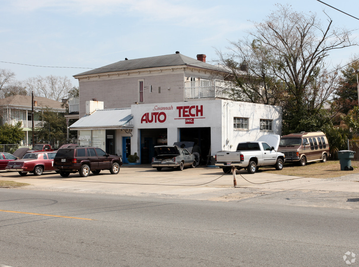
Property Record
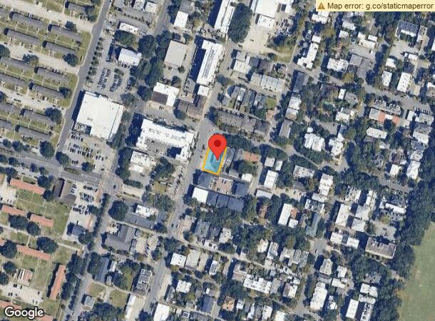
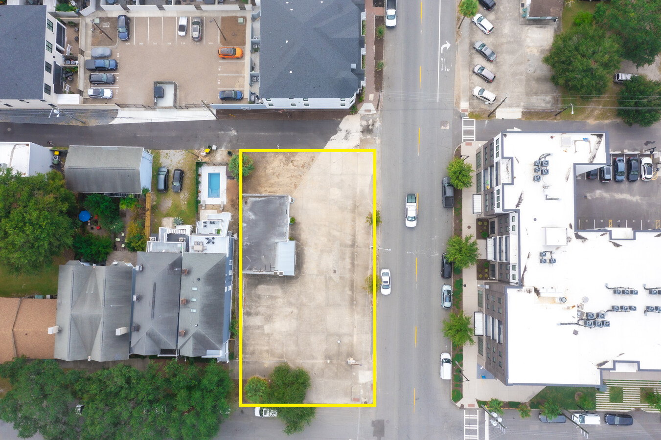
702 Montgomery St, Savannah, GA 31401
NEARBY LISTINGS FOR SALE OR LEASE
Property Detail
702 Montgomery St
Savannah, GA
Dntn Mlk To E B
2004529009
LOT 78 PT OF 77 GASTON WD
Vehiclerentalsvehiclesales
Chatham
X
Georgia
45053C0550D
78
2023
0.21 AC
2024
Downtown Savannah
011200
Savannah
1,484 SF
DEMOGRAPHICS near 702 Montgomery St
1 Mile
3 Mile
5 Mile
2024 Total Population
21,257
79,544
117,980
2029 Population
22,612
83,480
123,299
Pop Growth 2024-2029
+ 6.37%
+ 4.95%
+ 4.51%
Average Age
36
38
38
2024 Total Households
9,660
33,280
47,949
HH Growth 2024-2029
+ 6.85%
+ 5.26%
+ 4.84%
Median Household Inc
$45,953
$47,435
$48,571
Avg Household Size
2.00
2.20
2.20
2024 Avg HH Vehicles
1.00
1.00
1.00
Median Home Value
$471,056
$223,738
$204,070
Median Year Built
1948
1955
1961
Nearby Places
- Restaurants
- Banks
- Shops
- Fitness
- Groceries
PUBLIC TRANSPORTATION
COMMUTER RAIL
Savannah (Palmetto - Amtrak, Silver Meteor - Amtrak, Silver Star - Amtrak)
DRIVE
WALK
Distance
Savannah (Palmetto - Amtrak, Silver Meteor - Amtrak, Silver Star - Amtrak)
7 min
3.4 mi
AIRPORT
Savannah/Hilton Head International
DRIVE
WALK
Distance
Savannah/Hilton Head International
20 min
10.8 mi
Hilton Head
DRIVE
WALK
Distance
Hilton Head
59 min
37.4 mi
Freight Ports
Georgia Ports - Savannah
DRIVE
WALK
Distance
Georgia Ports - Savannah
12 min
6.2 mi
SALE & LEASE HISTORY
LISTING DATE
SALE/LEASE

Jun 13, 2022
For Lease
Dec 10, 2019
For Lease
Nearby Properties
Address
Land Use
TOTAL SIZE
Lot Size
Zoning
Address
Land Use
TOTAL SIZE
Lot Size
Zoning
14,252 SF
52.91 AC
RIP
Address
Land Use
TOTAL SIZE
Lot Size
Zoning
1,400 SF
6.97 AC
D-X
Address
Land Use
TOTAL SIZE
Lot Size
Zoning
22.34 AC
PUDBW
Address
Land Use
TOTAL SIZE
Lot Size
Zoning
50.60 AC
Address
Land Use
TOTAL SIZE
Lot Size
Zoning
31,396 SF
1.69 AC
BG
Address
Land Use
TOTAL SIZE
Lot Size
Zoning
354,322 SF
6.30 AC
IH
Address
Land Use
TOTAL SIZE
Lot Size
Zoning
86,336 SF
1.08 AC
BB
Address
Land Use
TOTAL SIZE
Lot Size
Zoning
421 SF
6.82 AC
PUDBW
Address
Land Use
TOTAL SIZE
Lot Size
Zoning
124,080 SF
1.66 AC
BB
Address
Land Use
TOTAL SIZE
Lot Size
Zoning
173,554 SF
0.72 AC
BB
Address
Land Use
TOTAL SIZE
Lot Size
Zoning
1.10 AC
BB
Address
Land Use
TOTAL SIZE
Lot Size
Zoning
479,600 SF
28.24 AC
IH
Address
Land Use
TOTAL SIZE
Lot Size
Zoning
2.49 AC
BN
Address
Land Use
TOTAL SIZE
Lot Size
Zoning
4.92 AC
PUDBW
Address
Land Use
TOTAL SIZE
Lot Size
Zoning
116,000 SF
0.53 AC
BB
Address
Land Use
TOTAL SIZE
Lot Size
Zoning
9,303 SF
9.84 AC
PUDM
Address
Land Use
TOTAL SIZE
Lot Size
Zoning
384,000 SF
48.45 AC
I-H
Address
Land Use
TOTAL SIZE
Lot Size
Zoning
810 SF
20 AC
Address
Land Use
TOTAL SIZE
Lot Size
Zoning
6,245 SF
13.52 AC
PUDISB
Address
Land Use
TOTAL SIZE
Lot Size
Zoning
10.42 AC
Address
Land Use
TOTAL SIZE
Lot Size
Zoning
0.49 AC
BC1
Address
Land Use
TOTAL SIZE
Lot Size
Zoning
7,900 SF
1.98 AC
RIPB1
Address
Land Use
TOTAL SIZE
Lot Size
Zoning
141,489 SF
1.60 AC
BC
Address
Land Use
TOTAL SIZE
Lot Size
Zoning
50.30 AC
RM25
Address
Land Use
TOTAL SIZE
Lot Size
Zoning
67,656 SF
59.88 AC
M
Address
Land Use
TOTAL SIZE
Lot Size
Zoning
70,124 SF
0.38 AC
BC1
Address
Land Use
TOTAL SIZE
Lot Size
Zoning
0.58 AC
BB
Address
Land Use
TOTAL SIZE
Lot Size
Zoning
52,642 SF
0.50 AC
BG
Address
Land Use
TOTAL SIZE
Lot Size
Zoning
1.14 AC
BC1
Address
Land Use
TOTAL SIZE
Lot Size
Zoning
0.26 AC
BC1
The World's #1 Commercial Real Estate Marketplace
Connect with us
© 2025 CoStar Group
The information above has been obtained from sources believed reliable. While we do not doubt its accuracy we have not verified it and make no guarantee, warranty or representation about it. It is your responsibility to independently confirm its accuracy and completeness. Any projections, opinions, assumptions, or estimates used are for example only and do not represent the current or future performance of the property. The value of this transaction to you depends on tax and other factors which should be evaluated by your tax, financial, and legal advisors. You and your advisors should conduct a careful, independent investigation of the property to determine to your satisfaction the suitability of the property for your needs.