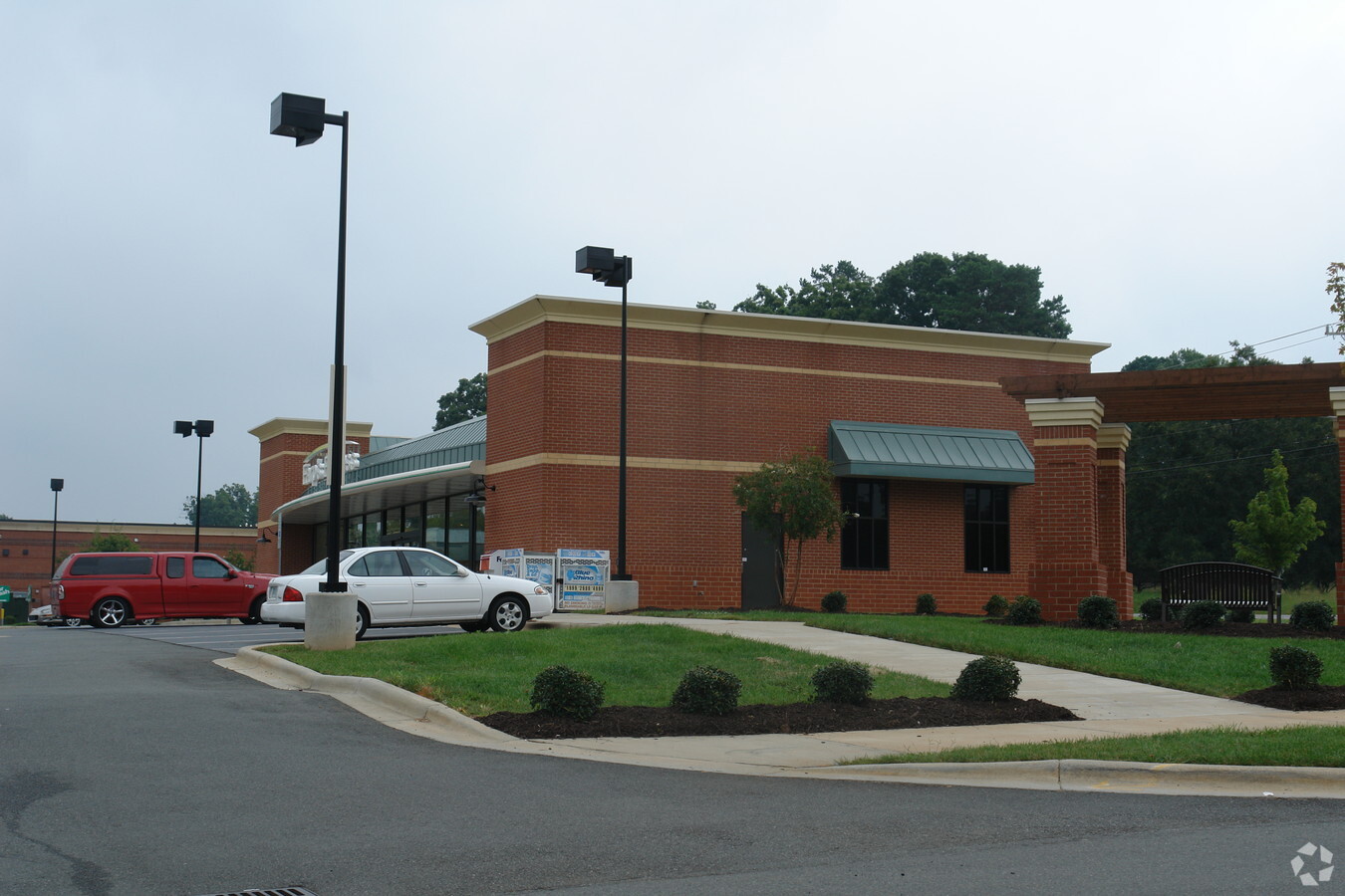
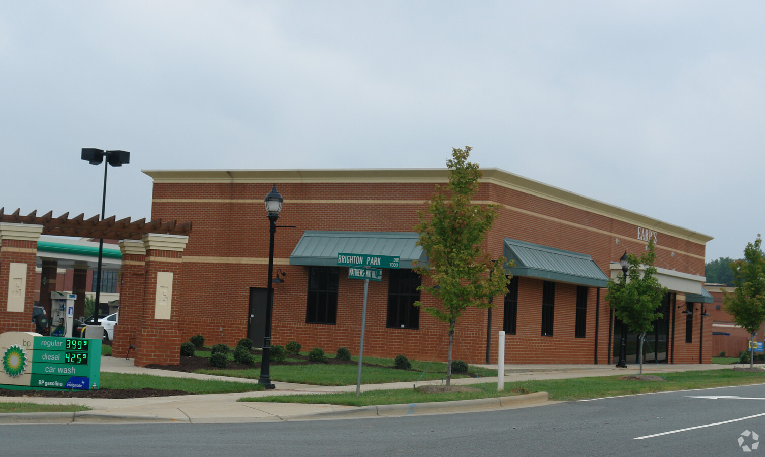
Property Record
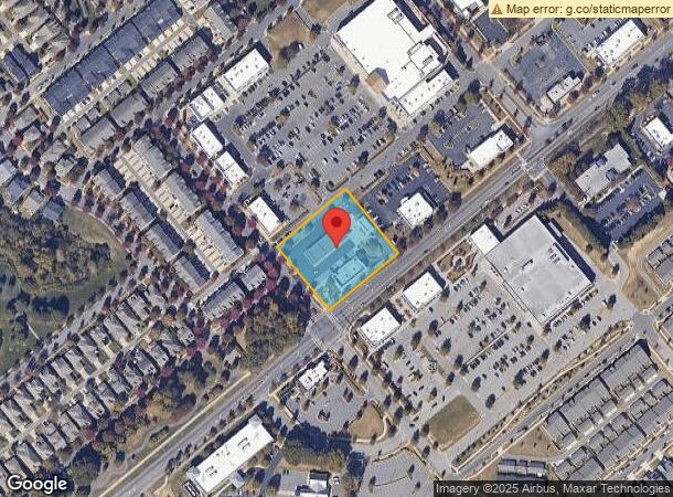
7020 Brighton Park Dr, Mint Hill, NC 28227
NEARBY LISTINGS FOR SALE OR LEASE
-
-
View all Mint Hill listings for sale on LoopNet.com
Property Detail
7020 Brighton Park Dr
Charlotte-Concord-Gastonia, NC-SC
Ruth Rice Teeter Estate Map 02
135-381-68
L2 M37-973
Storebuilding
Mecklenburg
X
North Carolina
3710550200K
2
2023
1.43 AC
2023
East
0057113000
Charlotte
4,849 SF
DEMOGRAPHICS near 7020 Brighton Park Dr
1 Mile
3 Mile
5 Mile
2024 Total Population
4,423
38,314
131,312
2029 Population
4,667
40,579
139,805
Pop Growth 2024-2029
+ 5.52%
+ 5.91%
+ 6.47%
Average Age
45
41
38
2024 Total Households
1,675
14,015
48,627
HH Growth 2024-2029
+ 5.49%
+ 5.95%
+ 6.46%
Median Household Inc
$91,104
$84,743
$68,498
Avg Household Size
2.60
2.70
2.60
2024 Avg HH Vehicles
2.00
2.00
2.00
Median Home Value
$363,450
$343,129
$286,252
Median Year Built
2000
1990
1990
Nearby Places
- Restaurants
- Banks
- Shops
- Fitness
- Groceries
PUBLIC TRANSPORTATION
AIRPORT
Concord-Padgett Regional
DRIVE
WALK
Distance
Concord-Padgett Regional
26 min
19.3 mi
Charlotte/Douglas International
DRIVE
WALK
Distance
Charlotte/Douglas International
36 min
20.0 mi
Freight Ports
North Charleston Terminal
DRIVE
WALK
Distance
North Charleston Terminal
241 min
209.4 mi
Nearby Properties
Address
Land Use
TOTAL SIZE
Lot Size
Zoning
Address
Land Use
TOTAL SIZE
Lot Size
Zoning
539,702 SF
83.70 AC
I
Address
Land Use
TOTAL SIZE
Lot Size
Zoning
347,952 SF
28.37 AC
OACUD
Address
Land Use
TOTAL SIZE
Lot Size
Zoning
187,371 SF
7.31 AC
Address
Land Use
TOTAL SIZE
Lot Size
Zoning
258,047 SF
64.31 AC
I-CUD
Address
Land Use
TOTAL SIZE
Lot Size
Zoning
205,701 SF
13.73 AC
OACUD
Address
Land Use
TOTAL SIZE
Lot Size
Zoning
139,032 SF
23.48 AC
I
Address
Land Use
TOTAL SIZE
Lot Size
Zoning
112,203 SF
6.80 AC
R
Address
Land Use
TOTAL SIZE
Lot Size
Zoning
126,174 SF
12.13 AC
R9MFCD
Address
Land Use
TOTAL SIZE
Lot Size
Zoning
96,660 SF
8.44 AC
BGCUD
Address
Land Use
TOTAL SIZE
Lot Size
Zoning
40,890 SF
2.92 AC
O-A DO-B(C
Address
Land Use
TOTAL SIZE
Lot Size
Zoning
80,888 SF
8.20 AC
Address
Land Use
TOTAL SIZE
Lot Size
Zoning
77,438 SF
4.26 AC
BD
Address
Land Use
TOTAL SIZE
Lot Size
Zoning
67,080 SF
7.99 AC
Address
Land Use
TOTAL SIZE
Lot Size
Zoning
72,768 SF
5.08 AC
OACUD
Address
Land Use
TOTAL SIZE
Lot Size
Zoning
49,878 SF
6.11 AC
Address
Land Use
TOTAL SIZE
Lot Size
Zoning
65,097 SF
8.01 AC
NS
Address
Land Use
TOTAL SIZE
Lot Size
Zoning
78,372 SF
13 AC
IGCUD
Address
Land Use
TOTAL SIZE
Lot Size
Zoning
77,876 SF
26.47 AC
R
Address
Land Use
TOTAL SIZE
Lot Size
Zoning
45,974 SF
9.85 AC
O-A DO-B(C
Address
Land Use
TOTAL SIZE
Lot Size
Zoning
73,255 SF
13.35 AC
R
Address
Land Use
TOTAL SIZE
Lot Size
Zoning
60,402 SF
10.46 AC
BP
Address
Land Use
TOTAL SIZE
Lot Size
Zoning
34,114 SF
8.50 AC
R(CD)
Address
Land Use
TOTAL SIZE
Lot Size
Zoning
50,431 SF
5.17 AC
BPCUD
Address
Land Use
TOTAL SIZE
Lot Size
Zoning
54,876 SF
6.35 AC
R
Address
Land Use
TOTAL SIZE
Lot Size
Zoning
95,075 SF
6.11 AC
R17MF
Address
Land Use
TOTAL SIZE
Lot Size
Zoning
36,214 SF
31.65 AC
R
Address
Land Use
TOTAL SIZE
Lot Size
Zoning
75.94 AC
R-15
Address
Land Use
TOTAL SIZE
Lot Size
Zoning
30,966 SF
2.97 AC
BPCUD
Address
Land Use
TOTAL SIZE
Lot Size
Zoning
44,478 SF
5.41 AC
B-P(CD)
Address
Land Use
TOTAL SIZE
Lot Size
Zoning
54,308 SF
7.54 AC
BPCUD
The World's #1 Commercial Real Estate Marketplace
Connect with us
© 2025 CoStar Group
The information above has been obtained from sources believed reliable. While we do not doubt its accuracy we have not verified it and make no guarantee, warranty or representation about it. It is your responsibility to independently confirm its accuracy and completeness. Any projections, opinions, assumptions, or estimates used are for example only and do not represent the current or future performance of the property. The value of this transaction to you depends on tax and other factors which should be evaluated by your tax, financial, and legal advisors. You and your advisors should conduct a careful, independent investigation of the property to determine to your satisfaction the suitability of the property for your needs.