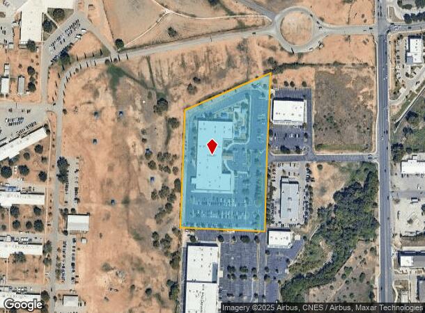
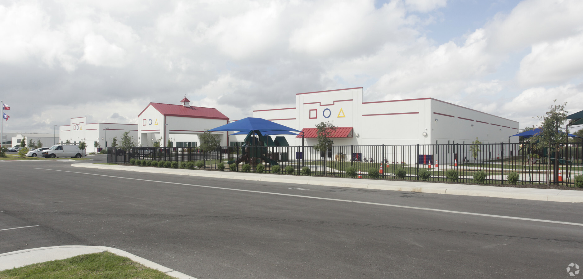
Property Record
7031 S New Braunfels Ave, San Antonio, TX 78223
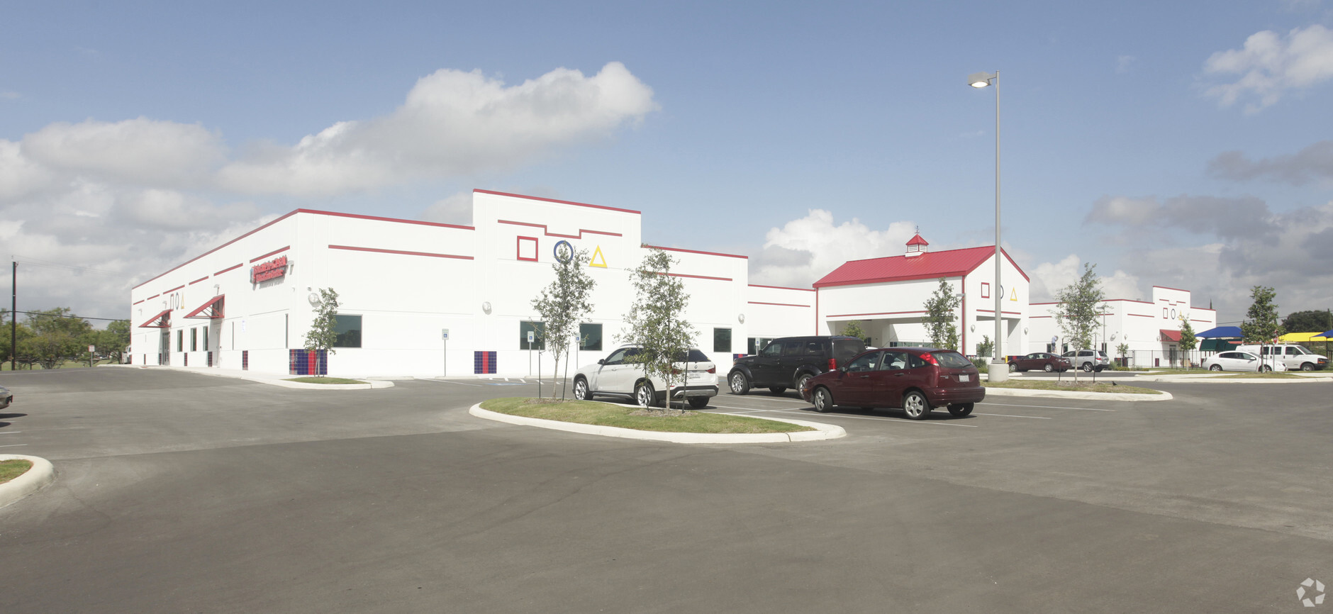
This Property Is For Sale
NEARBY LISTINGS FOR SALE OR LEASE
Property Detail
7031 S New Braunfels Ave
San Antonio-New Braunfels, TX
Ncb 10934 (Calicar Ut-2 Subd)
10934-001-0270
NCB 10934 (CALICAR UT-2 SUBD), BLOCK 1 LOT 27 2014) PLAT 9653/21-23 FILED 03-22-2013
Publicschool
Bexar
X
Texas
48029C0580G
27
2023
6.38 AC
2023
South
141101
San Antonio
50,194 SF
DEMOGRAPHICS near 7031 S New Braunfels Ave
1 Mile
3 Mile
5 Mile
2024 Total Population
12,748
96,410
227,267
2029 Population
13,862
102,786
243,554
Pop Growth 2024-2029
+ 8.74%
+ 6.61%
+ 7.17%
Average Age
36
37
37
2024 Total Households
4,952
34,334
79,782
HH Growth 2024-2029
+ 8.58%
+ 6.71%
+ 7.37%
Median Household Inc
$32,314
$43,267
$45,384
Avg Household Size
2.40
2.70
2.80
2024 Avg HH Vehicles
1.00
2.00
2.00
Median Home Value
$128,819
$141,561
$143,384
Median Year Built
1981
1968
1965
Nearby Places
- Restaurants
- Banks
- Shops
- Fitness
- Groceries
PUBLIC TRANSPORTATION
COMMUTER RAIL
San Antonio Amtrak Station (Sunset Limited - Amtrak, Texas Eagle - Amtrak)
DRIVE
WALK
Distance
San Antonio Amtrak Station (Sunset Limited - Amtrak, Texas Eagle - Amtrak)
9 min
5.9 mi
AIRPORT
San Antonio International
DRIVE
WALK
Distance
San Antonio International
19 min
13.7 mi
Freight Ports
Calhoun Port
DRIVE
WALK
Distance
Calhoun Port
179 min
146.1 mi
Nearby Properties
Address
Land Use
TOTAL SIZE
Lot Size
Zoning
Address
Land Use
TOTAL SIZE
Lot Size
Zoning
220,079 SF
28.12 AC
Address
Land Use
TOTAL SIZE
Lot Size
Zoning
348,974 SF
20.98 AC
Address
Land Use
TOTAL SIZE
Lot Size
Zoning
291,374 SF
13.49 AC
Address
Land Use
TOTAL SIZE
Lot Size
Zoning
442,800 SF
85.65 AC
Address
Land Use
TOTAL SIZE
Lot Size
Zoning
347,200 SF
34.77 AC
Address
Land Use
TOTAL SIZE
Lot Size
Zoning
250,400 SF
20.55 AC
Address
Land Use
TOTAL SIZE
Lot Size
Zoning
61,085 SF
16.73 AC
Address
Land Use
TOTAL SIZE
Lot Size
Zoning
158,546 SF
6.45 AC
Address
Land Use
TOTAL SIZE
Lot Size
Zoning
12,504,292 SF
32.18 AC
Address
Land Use
TOTAL SIZE
Lot Size
Zoning
273,370 SF
11.92 AC
Address
Land Use
TOTAL SIZE
Lot Size
Zoning
245,745 SF
11.99 AC
Address
Land Use
TOTAL SIZE
Lot Size
Zoning
246,600 SF
42.26 AC
Address
Land Use
TOTAL SIZE
Lot Size
Zoning
193,243 SF
9.03 AC
Address
Land Use
TOTAL SIZE
Lot Size
Zoning
174,316 SF
15.38 AC
Address
Land Use
TOTAL SIZE
Lot Size
Zoning
88,420 SF
7.62 AC
Address
Land Use
TOTAL SIZE
Lot Size
Zoning
148,525 SF
30.72 AC
Address
Land Use
TOTAL SIZE
Lot Size
Zoning
116,010 SF
9.01 AC
Address
Land Use
TOTAL SIZE
Lot Size
Zoning
163.70 AC
Address
Land Use
TOTAL SIZE
Lot Size
Zoning
372,078 SF
10.95 AC
Address
Land Use
TOTAL SIZE
Lot Size
Zoning
Address
Land Use
TOTAL SIZE
Lot Size
Zoning
145,389 SF
18.70 AC
Address
Land Use
TOTAL SIZE
Lot Size
Zoning
95,486 SF
12.54 AC
Address
Land Use
TOTAL SIZE
Lot Size
Zoning
186,995 SF
14.18 AC
Address
Land Use
TOTAL SIZE
Lot Size
Zoning
148,672 SF
11.84 AC
Address
Land Use
TOTAL SIZE
Lot Size
Zoning
79,740 SF
0.60 AC
Address
Land Use
TOTAL SIZE
Lot Size
Zoning
144,692 SF
10.83 AC
Address
Land Use
TOTAL SIZE
Lot Size
Zoning
332,148 SF
17.75 AC
Address
Land Use
TOTAL SIZE
Lot Size
Zoning
215,188 SF
21.94 AC
Address
Land Use
TOTAL SIZE
Lot Size
Zoning
261,619 SF
20.15 AC
Address
Land Use
TOTAL SIZE
Lot Size
Zoning
20.58 AC
The World's #1 Commercial Real Estate Marketplace
Connect with us
© 2025 CoStar Group
The information above has been obtained from sources believed reliable. While we do not doubt its accuracy we have not verified it and make no guarantee, warranty or representation about it. It is your responsibility to independently confirm its accuracy and completeness. Any projections, opinions, assumptions, or estimates used are for example only and do not represent the current or future performance of the property. The value of this transaction to you depends on tax and other factors which should be evaluated by your tax, financial, and legal advisors. You and your advisors should conduct a careful, independent investigation of the property to determine to your satisfaction the suitability of the property for your needs.