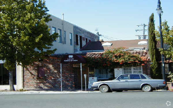
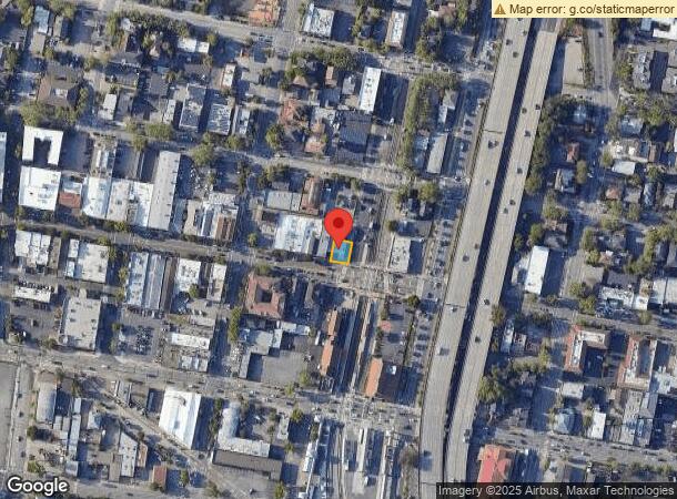
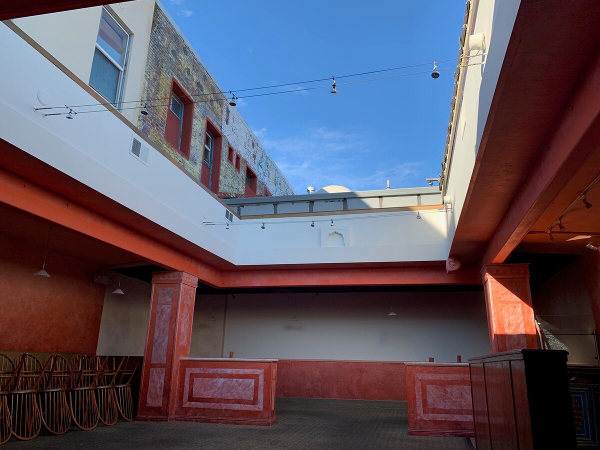
Property Record
704 4Th St, San Rafael, CA 94901

NEARBY LISTINGS FOR SALE OR LEASE
Property Detail
704 4Th St
011-227-10
Cantayre;Pearson
Commercialnec
Marin
X
California
06041C0457E
0.07 AC
2024
San Rafael/Larkspur
2024
North Bay/Santa Rosa
111001
San Rafael, CA
2,889 SF
DEMOGRAPHICS near 704 4Th St
1 Mile
3 Mile
5 Mile
2024 Total Population
19,549
86,423
139,083
2029 Population
19,007
83,914
135,094
Pop Growth 2024-2029
(2.77%)
(2.90%)
(2.87%)
Average Age
42
44
45
2024 Total Households
7,970
33,953
55,053
HH Growth 2024-2029
(2.75%)
(2.86%)
(2.88%)
Median Household Inc
$92,852
$111,689
$122,839
Avg Household Size
2.30
2.40
2.40
2024 Avg HH Vehicles
2.00
2.00
2.00
Median Home Value
$1,090,992
$1,088,311
$1,093,830
Median Year Built
1959
1963
1963
Nearby Places
- Restaurants
- Banks
- Shops
- Fitness
- Groceries
PUBLIC TRANSPORTATION
COMMUTER RAIL
San Rafael Smart (Main Line - Sonoma Marin Area Rail Transit)
DRIVE
WALK
Distance
San Rafael Smart (Main Line - Sonoma Marin Area Rail Transit)
1 min
1 min
0.1 mi
Larkspur Smart (Main Line - Sonoma Marin Area Rail Transit)
DRIVE
WALK
Distance
Larkspur Smart (Main Line - Sonoma Marin Area Rail Transit)
6 min
3.0 mi
AIRPORT
San Francisco International
DRIVE
WALK
Distance
San Francisco International
49 min
31.0 mi
Metro Oakland International
DRIVE
WALK
Distance
Metro Oakland International
42 min
31.1 mi
Freight Ports
Port of Richmond
DRIVE
WALK
Distance
Port of Richmond
19 min
11.8 mi
SALE & LEASE HISTORY
LISTING DATE
SALE/LEASE

Jan 09, 2020
For Lease
Nearby Properties
Address
Land Use
TOTAL SIZE
Lot Size
Zoning
Address
Land Use
TOTAL SIZE
Lot Size
Zoning
217,791 SF
4.50 AC
Address
Land Use
TOTAL SIZE
Lot Size
Zoning
283,663 SF
27.98 AC
Address
Land Use
TOTAL SIZE
Lot Size
Zoning
23.79 AC
Address
Land Use
TOTAL SIZE
Lot Size
Zoning
87,058 SF
1.33 AC
Address
Land Use
TOTAL SIZE
Lot Size
Zoning
221,660 SF
9.69 AC
PC
Address
Land Use
TOTAL SIZE
Lot Size
Zoning
180,000 SF
15.92 AC
Address
Land Use
TOTAL SIZE
Lot Size
Zoning
132,969 SF
9.09 AC
Address
Land Use
TOTAL SIZE
Lot Size
Zoning
119,185 SF
4.31 AC
Address
Land Use
TOTAL SIZE
Lot Size
Zoning
109,944 SF
5.73 AC
Address
Land Use
TOTAL SIZE
Lot Size
Zoning
147,502 SF
1.02 AC
Address
Land Use
TOTAL SIZE
Lot Size
Zoning
132,040 SF
11.74 AC
Address
Land Use
TOTAL SIZE
Lot Size
Zoning
127,504 SF
8.49 AC
Address
Land Use
TOTAL SIZE
Lot Size
Zoning
91,158 SF
1.89 AC
Address
Land Use
TOTAL SIZE
Lot Size
Zoning
12.57 AC
Address
Land Use
TOTAL SIZE
Lot Size
Zoning
11.63 AC
Address
Land Use
TOTAL SIZE
Lot Size
Zoning
79,995 SF
3.15 AC
Address
Land Use
TOTAL SIZE
Lot Size
Zoning
119,061 SF
5.90 AC
Address
Land Use
TOTAL SIZE
Lot Size
Zoning
72,870 SF
3.51 AC
Address
Land Use
TOTAL SIZE
Lot Size
Zoning
15.91 AC
SPD
Address
Land Use
TOTAL SIZE
Lot Size
Zoning
94,745 SF
1.46 AC
Address
Land Use
TOTAL SIZE
Lot Size
Zoning
75,888 SF
10.99 AC
Address
Land Use
TOTAL SIZE
Lot Size
Zoning
81,894 SF
5.91 AC
Address
Land Use
TOTAL SIZE
Lot Size
Zoning
234,922 SF
6 AC
Address
Land Use
TOTAL SIZE
Lot Size
Zoning
195,460 SF
6.10 AC
Address
Land Use
TOTAL SIZE
Lot Size
Zoning
71,527 SF
1.86 AC
Address
Land Use
TOTAL SIZE
Lot Size
Zoning
177,460 SF
13 AC
Address
Land Use
TOTAL SIZE
Lot Size
Zoning
11,830 SF
0.65 AC
Address
Land Use
TOTAL SIZE
Lot Size
Zoning
138,861 SF
15.82 AC
Address
Land Use
TOTAL SIZE
Lot Size
Zoning
82,206 SF
3.67 AC
Address
Land Use
TOTAL SIZE
Lot Size
Zoning
85,066 SF
1.29 AC
The World's #1 Commercial Real Estate Marketplace
Connect with us
© 2025 CoStar Group
The information above has been obtained from sources believed reliable. While we do not doubt its accuracy we have not verified it and make no guarantee, warranty or representation about it. It is your responsibility to independently confirm its accuracy and completeness. Any projections, opinions, assumptions, or estimates used are for example only and do not represent the current or future performance of the property. The value of this transaction to you depends on tax and other factors which should be evaluated by your tax, financial, and legal advisors. You and your advisors should conduct a careful, independent investigation of the property to determine to your satisfaction the suitability of the property for your needs.