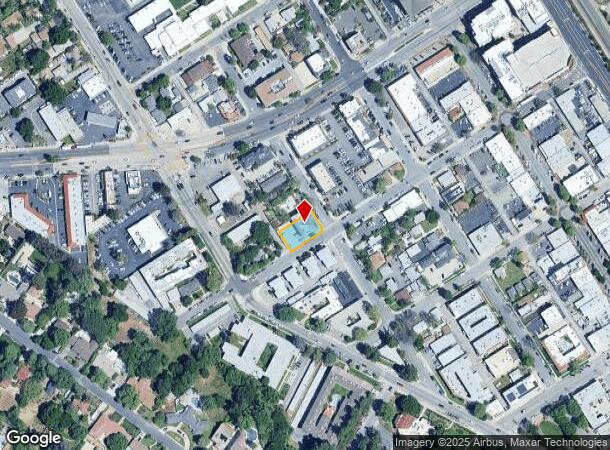
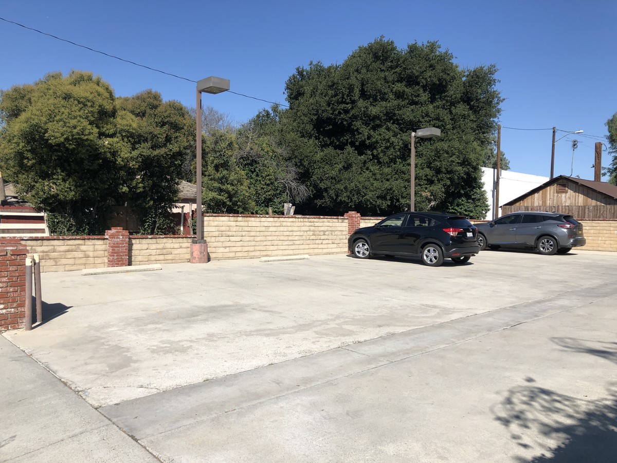
Property Record
24405 Chestnut St, Newhall, CA 91321


NEARBY LISTINGS FOR SALE OR LEASE
Property Detail
24405 Chestnut St
Los Angeles-Long Beach-Glendale, CA
Town Of Newhall
2831-008-049
*TR=NEWHALL*LOTS 10,11 AND (EX OF STS) LOT/SEC 12 BLK/DIV/TWN 13
Officebuilding
Los Angeles
X
California
06037C0818G
10,11
2024
0.21 AC
2024
Santa Clarita Valley
920341
Los Angeles
6,651 SF
DEMOGRAPHICS near 24405 Chestnut St
1 Mile
3 Mile
5 Mile
2024 Total Population
14,305
61,790
154,565
2029 Population
13,713
59,637
148,997
Pop Growth 2024-2029
(4.14%)
(3.48%)
(3.60%)
Average Age
37
40
40
2024 Total Households
4,371
21,390
52,939
HH Growth 2024-2029
(4.55%)
(3.80%)
(3.81%)
Median Household Inc
$78,491
$100,477
$105,882
Avg Household Size
3.10
2.80
2.80
2024 Avg HH Vehicles
2.00
2.00
2.00
Median Home Value
$756,853
$723,147
$711,074
Median Year Built
1973
1983
1987
Nearby Places
- Restaurants
- Banks
- Shops
- Fitness
- Groceries
PUBLIC TRANSPORTATION
COMMUTER RAIL
Newhall (Antelope Valley Line - Southern California Regional Rail Authority (Metrolink))
DRIVE
WALK
Distance
Newhall (Antelope Valley Line - Southern California Regional Rail Authority (Metrolink))
2 min
9 min
0.5 mi
Santa Clarita (Antelope Valley Line - Southern California Regional Rail Authority (Metrolink))
DRIVE
WALK
Distance
Santa Clarita (Antelope Valley Line - Southern California Regional Rail Authority (Metrolink))
8 min
4.5 mi
AIRPORT
Bob Hope
DRIVE
WALK
Distance
Bob Hope
24 min
17.6 mi
Freight Ports
The Port of Hueneme
DRIVE
WALK
Distance
The Port of Hueneme
78 min
55.0 mi
SALE & LEASE HISTORY
LISTING DATE
SALE/LEASE

Aug 14, 2018
For Lease
Aug 08, 2019
For Lease
Nearby Properties
Address
Land Use
TOTAL SIZE
Lot Size
Zoning
Address
Land Use
TOTAL SIZE
Lot Size
Zoning
491,654 SF
17.56 AC
SCPI
Address
Land Use
TOTAL SIZE
Lot Size
Zoning
479,178 SF
14.17 AC
SCCR
Address
Land Use
TOTAL SIZE
Lot Size
Zoning
173,298 SF
12.42 AC
LCA25*
Address
Land Use
TOTAL SIZE
Lot Size
Zoning
495,604 SF
38.40 AC
SCI
Address
Land Use
TOTAL SIZE
Lot Size
Zoning
291,344 SF
15.32 AC
LCA2
Address
Land Use
TOTAL SIZE
Lot Size
Zoning
1,014,267 SF
59.94 AC
SCPI
Address
Land Use
TOTAL SIZE
Lot Size
Zoning
245,053 SF
19.81 AC
LCA25*
Address
Land Use
TOTAL SIZE
Lot Size
Zoning
139,196 SF
8.79 AC
SCUR5
Address
Land Use
TOTAL SIZE
Lot Size
Zoning
161,103 SF
4.68 AC
SCUR4
Address
Land Use
TOTAL SIZE
Lot Size
Zoning
143,163 SF
10.48 AC
SCUR3
Address
Land Use
TOTAL SIZE
Lot Size
Zoning
402,480 SF
13.58 AC
SCCN
Address
Land Use
TOTAL SIZE
Lot Size
Zoning
137,361 SF
7.38 AC
SCUR3
Address
Land Use
TOTAL SIZE
Lot Size
Zoning
83,698 SF
8.94 AC
SCPI
Address
Land Use
TOTAL SIZE
Lot Size
Zoning
271,399 SF
7.49 AC
LCA25*
Address
Land Use
TOTAL SIZE
Lot Size
Zoning
2,355 SF
497.82 AC
SCSP
Address
Land Use
TOTAL SIZE
Lot Size
Zoning
216,067 SF
25.69 AC
SCBP
Address
Land Use
TOTAL SIZE
Lot Size
Zoning
86,201 SF
3.68 AC
SCUR4
Address
Land Use
TOTAL SIZE
Lot Size
Zoning
138,025 SF
14.50 AC
LCA2
Address
Land Use
TOTAL SIZE
Lot Size
Zoning
245,606 SF
11.66 AC
SCUR4
Address
Land Use
TOTAL SIZE
Lot Size
Zoning
78,596 SF
4.62 AC
SCCR
Address
Land Use
TOTAL SIZE
Lot Size
Zoning
3,840 SF
443.36 AC
SCSP
Address
Land Use
TOTAL SIZE
Lot Size
Zoning
180,492 SF
9.47 AC
SCUR4
Address
Land Use
TOTAL SIZE
Lot Size
Zoning
79,622 SF
1.21 AC
SCPI
Address
Land Use
TOTAL SIZE
Lot Size
Zoning
52,904 SF
3.08 AC
SCPI
Address
Land Use
TOTAL SIZE
Lot Size
Zoning
144,152 SF
2.39 AC
LCA22-A21*
Address
Land Use
TOTAL SIZE
Lot Size
Zoning
106,662 SF
4.04 AC
LCA25*
Address
Land Use
TOTAL SIZE
Lot Size
Zoning
52,194 SF
0.76 AC
SCCP
Address
Land Use
TOTAL SIZE
Lot Size
Zoning
129,420 SF
23.25 AC
SCBP
Address
Land Use
TOTAL SIZE
Lot Size
Zoning
154,374 SF
15.46 AC
SCBP
Address
Land Use
TOTAL SIZE
Lot Size
Zoning
180,584 SF
6.35 AC
SCUR3
The World's #1 Commercial Real Estate Marketplace
Connect with us
© 2025 CoStar Group
The information above has been obtained from sources believed reliable. While we do not doubt its accuracy we have not verified it and make no guarantee, warranty or representation about it. It is your responsibility to independently confirm its accuracy and completeness. Any projections, opinions, assumptions, or estimates used are for example only and do not represent the current or future performance of the property. The value of this transaction to you depends on tax and other factors which should be evaluated by your tax, financial, and legal advisors. You and your advisors should conduct a careful, independent investigation of the property to determine to your satisfaction the suitability of the property for your needs.