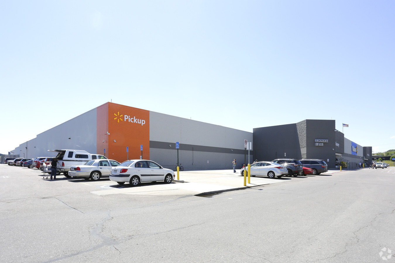
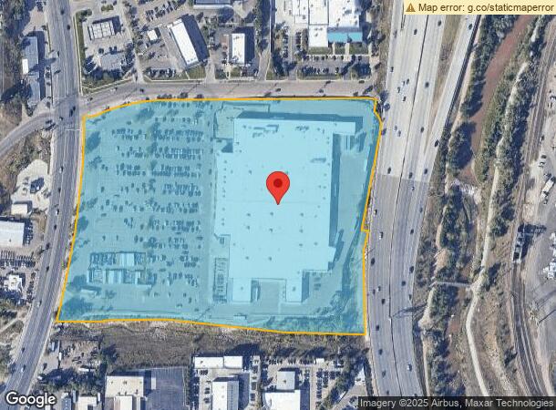
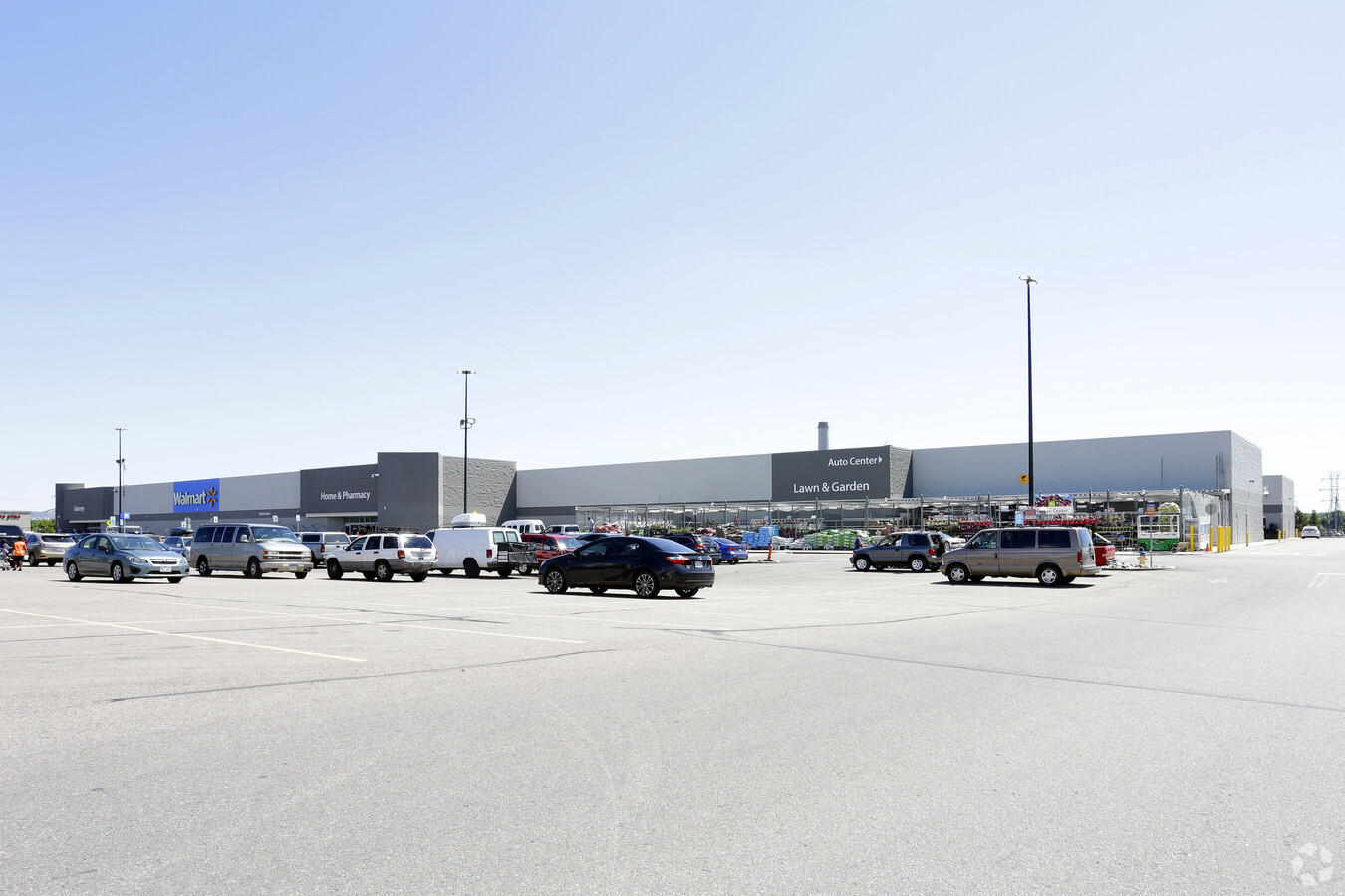
Property Record
707 S 8Th St, Colorado Springs, CO 80905
NEARBY LISTINGS FOR SALE OR LEASE
Property Detail
707 S 8Th St
Colorado Springs, CO
8Th Street Retail Center Fil No 1
74241-13-010
LOT 1 BLK 1 8TH STREET RETAIL CENTER FIL NO 1, EX THAT PT TO STATE BY REC $215042742
Commercialbuilding
El Paso
AE
Colorado
08041C0729G
1
2023
16.91 AC
2024
Southwest
003001
Colorado Springs
204,822 SF
DEMOGRAPHICS near 707 S 8Th St
1 Mile
3 Mile
5 Mile
2024 Total Population
6,857
77,692
202,212
2029 Population
7,203
81,325
211,683
Pop Growth 2024-2029
+ 5.05%
+ 4.68%
+ 4.68%
Average Age
41
41
40
2024 Total Households
3,110
35,759
87,857
HH Growth 2024-2029
+ 5.47%
+ 4.95%
+ 4.95%
Median Household Inc
$65,921
$62,931
$59,461
Avg Household Size
2.00
2.00
2.20
2024 Avg HH Vehicles
2.00
2.00
2.00
Median Home Value
$443,342
$434,089
$376,201
Median Year Built
1969
1962
1973
Nearby Places
- Restaurants
- Banks
- Shops
- Fitness
- Groceries
PUBLIC TRANSPORTATION
AIRPORT
City of Colorado Springs Municipal
DRIVE
WALK
Distance
City of Colorado Springs Municipal
23 min
11.9 mi
Freight Ports
Tulsa Port Of Catoosa
DRIVE
WALK
Distance
Tulsa Port Of Catoosa
747 min
698.9 mi
Nearby Properties
Address
Land Use
TOTAL SIZE
Lot Size
Zoning
Address
Land Use
TOTAL SIZE
Lot Size
Zoning
1,072,186 SF
15.14 AC
OC CU HR
Address
Land Use
TOTAL SIZE
Lot Size
Zoning
983,639 SF
43.31 AC
C5 HR CU
Address
Land Use
TOTAL SIZE
Lot Size
Zoning
604,992 SF
28.95 AC
SU CU
Address
Land Use
TOTAL SIZE
Lot Size
Zoning
1,294,065 SF
3.78 AC
FBZ-CEN
Address
Land Use
TOTAL SIZE
Lot Size
Zoning
601,737 SF
7.24 AC
C5
Address
Land Use
TOTAL SIZE
Lot Size
Zoning
123,725 SF
1.57 AC
FBZ-CEN
Address
Land Use
TOTAL SIZE
Lot Size
Zoning
326,035 SF
33.75 AC
PCR UV
Address
Land Use
TOTAL SIZE
Lot Size
Zoning
226,448 SF
16.80 AC
OC/CR
Address
Land Use
TOTAL SIZE
Lot Size
Zoning
271,048 SF
3.67 AC
FBZ-T2A
Address
Land Use
TOTAL SIZE
Lot Size
Zoning
24,445 SF
Address
Land Use
TOTAL SIZE
Lot Size
Zoning
51,766 SF
4.53 AC
FBZ-CEN
Address
Land Use
TOTAL SIZE
Lot Size
Zoning
217,459 SF
3.67 AC
FBZ-CEN UV
Address
Land Use
TOTAL SIZE
Lot Size
Zoning
151,674 SF
1.21 AC
FBZ-CEN
Address
Land Use
TOTAL SIZE
Lot Size
Zoning
246,241 SF
0.76 AC
FBZ-CEN
Address
Land Use
TOTAL SIZE
Lot Size
Zoning
261,184 SF
17.39 AC
PBC CU
Address
Land Use
TOTAL SIZE
Lot Size
Zoning
168,835 SF
33 AC
PF SS
Address
Land Use
TOTAL SIZE
Lot Size
Zoning
196,621 SF
1.33 AC
FBZ-CEN
Address
Land Use
TOTAL SIZE
Lot Size
Zoning
74,317 SF
18.61 AC
PIP2/CR CU
Address
Land Use
TOTAL SIZE
Lot Size
Zoning
214,037 SF
0.87 AC
FBZ-CEN CU
Address
Land Use
TOTAL SIZE
Lot Size
Zoning
415,539 SF
34.14 AC
SU SS
Address
Land Use
TOTAL SIZE
Lot Size
Zoning
201,366 SF
1.50 AC
FBZ-CEN
Address
Land Use
TOTAL SIZE
Lot Size
Zoning
226,707 SF
3.25 AC
PF UV
Address
Land Use
TOTAL SIZE
Lot Size
Zoning
130,451 SF
0.66 AC
FBZ-CEN
Address
Land Use
TOTAL SIZE
Lot Size
Zoning
148,414 SF
24.09 AC
C5 UV
Address
Land Use
TOTAL SIZE
Lot Size
Zoning
420,063 SF
2.31 AC
FBZ-CEN
Address
Land Use
TOTAL SIZE
Lot Size
Zoning
33,830 SF
1.09 AC
FBZ-T2A
Address
Land Use
TOTAL SIZE
Lot Size
Zoning
305,532 SF
29.74 AC
PUD HS
Address
Land Use
TOTAL SIZE
Lot Size
Zoning
70,985 SF
0.65 AC
FBZ-CEN
Address
Land Use
TOTAL SIZE
Lot Size
Zoning
98,647 SF
9.50 AC
OC/CR PUD
Address
Land Use
TOTAL SIZE
Lot Size
Zoning
244,545 SF
1.14 AC
FBZ-CEN
The World's #1 Commercial Real Estate Marketplace
Connect with us
© 2025 CoStar Group
The information above has been obtained from sources believed reliable. While we do not doubt its accuracy we have not verified it and make no guarantee, warranty or representation about it. It is your responsibility to independently confirm its accuracy and completeness. Any projections, opinions, assumptions, or estimates used are for example only and do not represent the current or future performance of the property. The value of this transaction to you depends on tax and other factors which should be evaluated by your tax, financial, and legal advisors. You and your advisors should conduct a careful, independent investigation of the property to determine to your satisfaction the suitability of the property for your needs.