Property Record
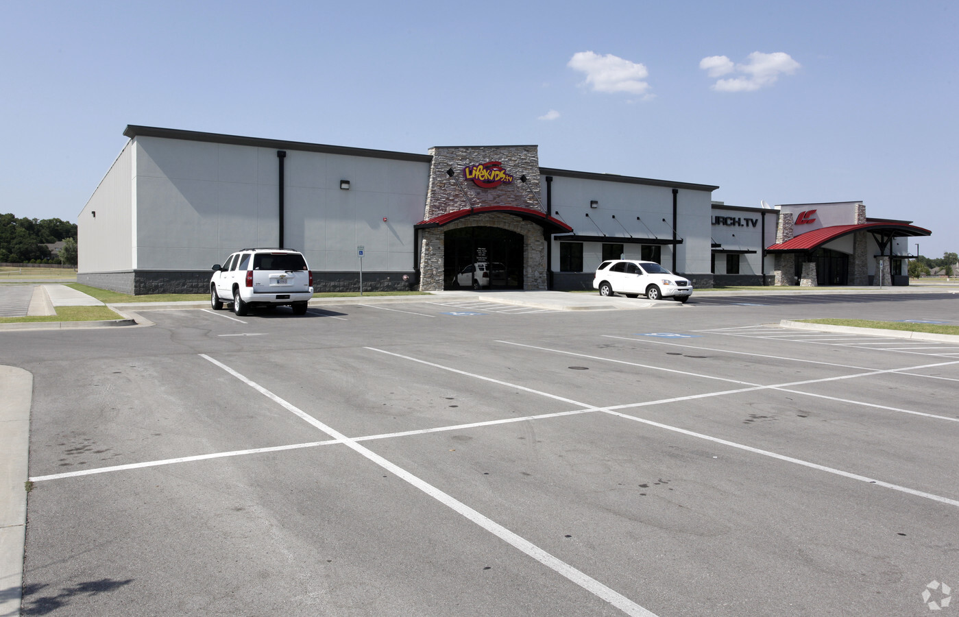
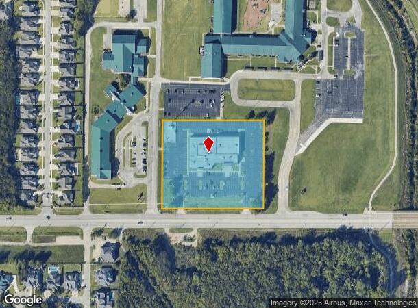
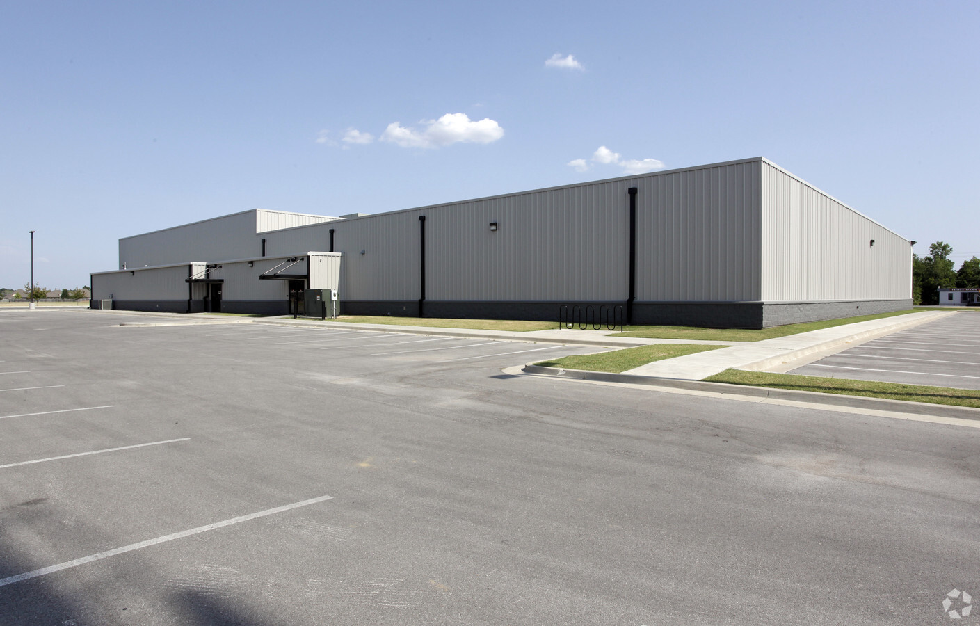
7071 E 121St St S, Bixby, OK 74008
NEARBY LISTINGS FOR SALE OR LEASE
Property Detail
7071 E 121St St S
98335-83-35-50500
Unplatted
Religious
BEG 3300W SECR SE TH W470 N470 E470 S470 POB LESS S60 THEREOF FOR RD SEC 35 18 13 4.424ACS
X
Tulsa
40143C0432M
Oklahoma
0
4.42 AC
2024
South
007636
Tulsa
31,798 SF
Tulsa, OK
DEMOGRAPHICS near 7071 E 121St St S
1 Mile
3 Mile
5 Mile
2024 Total Population
8,718
50,388
133,476
2029 Population
9,106
52,366
138,227
Pop Growth 2024-2029
+ 4.45%
+ 3.93%
+ 3.56%
Average Age
39
39
39
2024 Total Households
3,271
18,297
51,902
HH Growth 2024-2029
+ 4.16%
+ 3.80%
+ 3.50%
Median Household Inc
$98,150
$105,761
$87,910
Avg Household Size
2.60
2.70
2.50
2024 Avg HH Vehicles
2.00
2.00
2.00
Median Home Value
$381,874
$329,812
$277,371
Median Year Built
2000
1996
1993
Nearby Places
- Restaurants
- Banks
- Shops
- Fitness
- Groceries
PUBLIC TRANSPORTATION
AIRPORT
Tulsa International
Drive
Walk
Distance
Tulsa International
30 min
20.6 mi
Freight Ports
Tulsa Port Of Catoosa
Drive
Walk
Distance
Tulsa Port Of Catoosa
33 min
24.4 mi
Nearby Properties
Address
Land Use
TOTAL SIZE
Lot Size
Zoning
Address
Land Use
TOTAL SIZE
Lot Size
Zoning
55,384 SF
14.81 AC
AG
Address
Land Use
TOTAL SIZE
Lot Size
Zoning
73,113 SF
28.52 AC
R2
Address
Land Use
TOTAL SIZE
Lot Size
Zoning
8,388 SF
63.49 AC
AG
Address
Land Use
TOTAL SIZE
Lot Size
Zoning
176,243 SF
5.77 AC
CS
Address
Land Use
TOTAL SIZE
Lot Size
Zoning
65,812 SF
14.12 AC
RS1
Address
Land Use
TOTAL SIZE
Lot Size
Zoning
65,385 SF
16.59 AC
AG
Address
Land Use
TOTAL SIZE
Lot Size
Zoning
33,668 SF
8.04 AC
CO
Address
Land Use
TOTAL SIZE
Lot Size
Zoning
27,278 SF
2.49 AC
CS
Address
Land Use
TOTAL SIZE
Lot Size
Zoning
56,526 SF
25.18 AC
AG
Address
Land Use
TOTAL SIZE
Lot Size
Zoning
91,314 SF
19.62 AC
RS3
Address
Land Use
TOTAL SIZE
Lot Size
Zoning
10,265 SF
56.52 AC
RS2
Address
Land Use
TOTAL SIZE
Lot Size
Zoning
2,372,132 SF
147.83 AC
AG
Address
Land Use
TOTAL SIZE
Lot Size
Zoning
35,904 SF
4.08 AC
RM1
Address
Land Use
TOTAL SIZE
Lot Size
Zoning
219,987 SF
6.97 AC
RM3
Address
Land Use
TOTAL SIZE
Lot Size
Zoning
219,987 SF
10.06 AC
CS
Address
Land Use
TOTAL SIZE
Lot Size
Zoning
72,746 SF
3.93 AC
AG
Address
Land Use
TOTAL SIZE
Lot Size
Zoning
30,000 SF
5.13 AC
CS
Address
Land Use
TOTAL SIZE
Lot Size
Zoning
34,071 SF
9.29 AC
AG
Address
Land Use
TOTAL SIZE
Lot Size
Zoning
10,584 SF
1.15 AC
CS
Address
Land Use
TOTAL SIZE
Lot Size
Zoning
243,504 SF
13.97 AC
RM3
Address
Land Use
TOTAL SIZE
Lot Size
Zoning
295,254 SF
12.08 AC
CO
Address
Land Use
TOTAL SIZE
Lot Size
Zoning
1 SF
25.77 AC
AG
Address
Land Use
TOTAL SIZE
Lot Size
Zoning
26,530 SF
0.81 AC
IL
Address
Land Use
TOTAL SIZE
Lot Size
Zoning
28,174 SF
8.32 AC
AG
Address
Land Use
TOTAL SIZE
Lot Size
Zoning
27,896 SF
4.72 AC
AG
Address
Land Use
TOTAL SIZE
Lot Size
Zoning
199,720 SF
7.63 AC
RM1
Address
Land Use
TOTAL SIZE
Lot Size
Zoning
37,009 SF
4.18 AC
RS1
Address
Land Use
TOTAL SIZE
Lot Size
Zoning
196,322 SF
23.55 AC
IM
Address
Land Use
TOTAL SIZE
Lot Size
Zoning
36,312 SF
3.50 AC
CG
Start a new search to find other properties for sale or lease
Connect with us
© 2024 CoStar Group
The information above has been obtained from sources believed reliable. While we do not doubt its accuracy we have not verified it and make no guarantee, warranty or representation about it. It is your responsibility to independently confirm its accuracy and completeness. Any projections, opinions, assumptions, or estimates used are for example only and do not represent the current or future performance of the property. The value of this transaction to you depends on tax and other factors which should be evaluated by your tax, financial, and legal advisors. You and your advisors should conduct a careful, independent investigation of the property to determine to your satisfaction the suitability of the property for your needs.