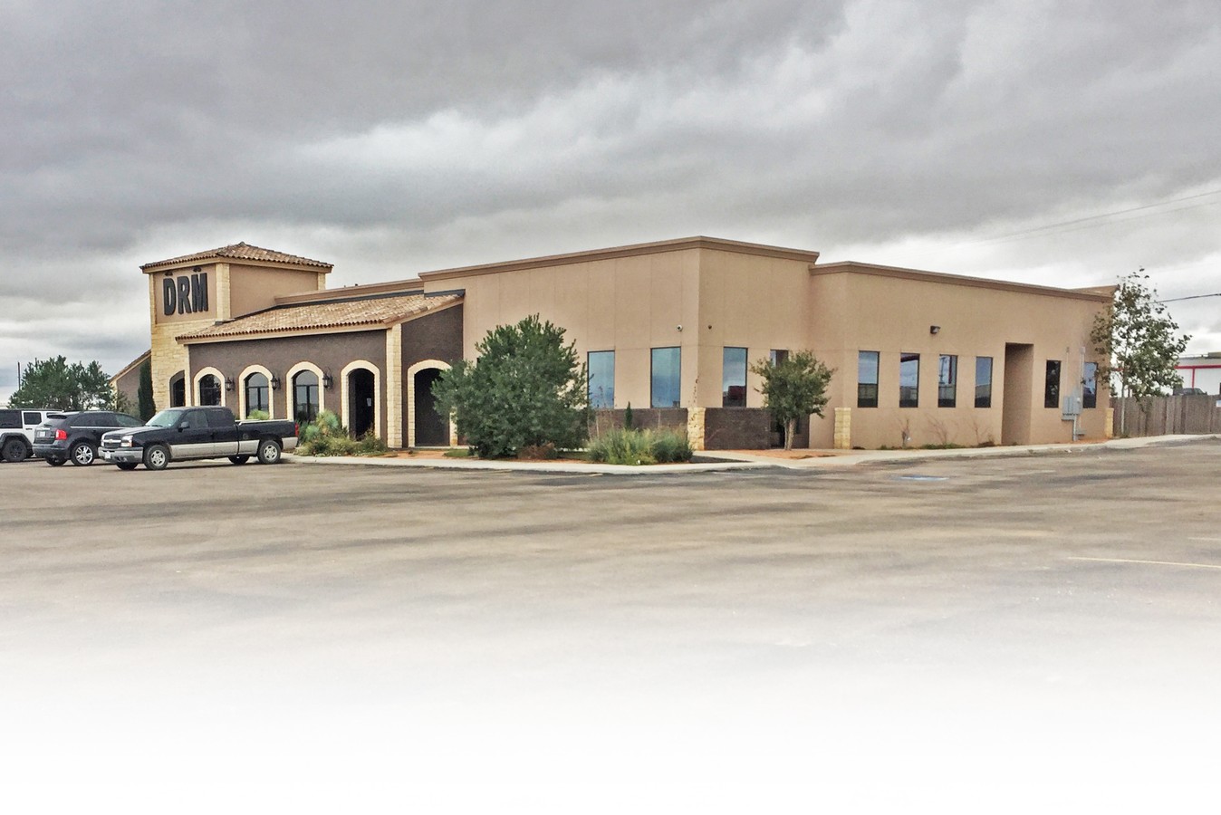
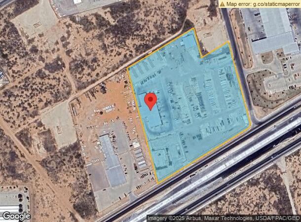
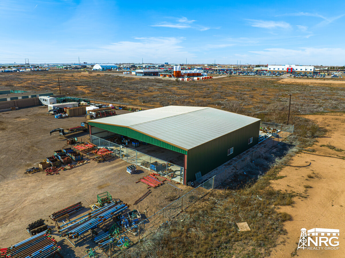
Property Record
7100 W Interstate 20, Midland, TX 79706
NEARBY LISTINGS FOR SALE OR LEASE
Property Detail
7100 W Interstate 20
Midland, TX
T-2-S T&P Rr Co Survey
R000208-177
ACRES: 12.000 12 AC M/PART SEC: 11 BLK: 40-T2S
Refinery
Midland
2024
Texas
2024
12 AC
010126
Midland & Odessa
5,625 SF
Other Market Areas
DEMOGRAPHICS near 7100 W Interstate 20
1 Mile
3 Mile
5 Mile
2024 Total Population
348
7,214
40,002
2029 Population
351
7,372
40,877
Pop Growth 2024-2029
+ 0.86%
+ 2.19%
+ 2.19%
Average Age
31
32
34
2024 Total Households
117
2,458
14,027
HH Growth 2024-2029
+ 0.85%
+ 2.73%
+ 2.59%
Median Household Inc
$109,500
$95,766
$81,099
Avg Household Size
2.90
2.90
2.80
2024 Avg HH Vehicles
2.00
2.00
2.00
Median Home Value
$311,538
$235,126
$233,861
Median Year Built
2010
2001
1985
Nearby Places
- Restaurants
- Banks
- Shops
- Fitness
- Groceries
PUBLIC TRANSPORTATION
AIRPORT
Midland International Air And Space Port
DRIVE
WALK
Distance
Midland International Air And Space Port
10 min
5.1 mi
Freight Ports
Calhoun Port
DRIVE
WALK
Distance
Calhoun Port
536 min
479.8 mi
SALE & LEASE HISTORY
LISTING DATE
SALE/LEASE

Oct 22, 2020
For Lease
May 27, 2022
For Sale
Feb 08, 2024
For Lease
Feb 08, 2017
For Lease
Feb 06, 2024
For Lease
Nearby Properties
Address
Land Use
TOTAL SIZE
Lot Size
Zoning
Address
Land Use
TOTAL SIZE
Lot Size
Zoning
1,320 SF
13.68 AC
Address
Land Use
TOTAL SIZE
Lot Size
Zoning
145,200 SF
293.40 AC
IP3
Address
Land Use
TOTAL SIZE
Lot Size
Zoning
Address
Land Use
TOTAL SIZE
Lot Size
Zoning
5,059 SF
10.35 AC
Address
Land Use
TOTAL SIZE
Lot Size
Zoning
38,700 SF
40.93 AC
Address
Land Use
TOTAL SIZE
Lot Size
Zoning
54,515 SF
20.01 AC
Address
Land Use
TOTAL SIZE
Lot Size
Zoning
33,429 SF
13.68 AC
Address
Land Use
TOTAL SIZE
Lot Size
Zoning
39,600 SF
321.48 AC
IP3
Address
Land Use
TOTAL SIZE
Lot Size
Zoning
52,455 SF
8.18 AC
Address
Land Use
TOTAL SIZE
Lot Size
Zoning
6,900 SF
11.68 AC
IP2
Address
Land Use
TOTAL SIZE
Lot Size
Zoning
61,152 SF
19.47 AC
IP3
Address
Land Use
TOTAL SIZE
Lot Size
Zoning
34,200 SF
29.61 AC
Address
Land Use
TOTAL SIZE
Lot Size
Zoning
200 SF
30.75 AC
IP3
Address
Land Use
TOTAL SIZE
Lot Size
Zoning
13,450 SF
1.59 AC
Address
Land Use
TOTAL SIZE
Lot Size
Zoning
35,536 SF
5.99 AC
Address
Land Use
TOTAL SIZE
Lot Size
Zoning
18,666 SF
6.50 AC
Address
Land Use
TOTAL SIZE
Lot Size
Zoning
13.54 AC
Address
Land Use
TOTAL SIZE
Lot Size
Zoning
2,185 SF
6 AC
Address
Land Use
TOTAL SIZE
Lot Size
Zoning
21,791 SF
6.78 AC
Address
Land Use
TOTAL SIZE
Lot Size
Zoning
27,456 SF
2.64 AC
Address
Land Use
TOTAL SIZE
Lot Size
Zoning
57,166 SF
7.87 AC
O1
Address
Land Use
TOTAL SIZE
Lot Size
Zoning
10,220 SF
9.48 AC
BP
Address
Land Use
TOTAL SIZE
Lot Size
Zoning
7,000 SF
10 AC
BP
Address
Land Use
TOTAL SIZE
Lot Size
Zoning
32,250 SF
3.69 AC
Address
Land Use
TOTAL SIZE
Lot Size
Zoning
12,300 SF
2.25 AC
Address
Land Use
TOTAL SIZE
Lot Size
Zoning
12,580 SF
14.36 AC
Address
Land Use
TOTAL SIZE
Lot Size
Zoning
8,841 SF
23.12 AC
IP3
Address
Land Use
TOTAL SIZE
Lot Size
Zoning
21,269 SF
3 AC
FD
Address
Land Use
TOTAL SIZE
Lot Size
Zoning
8,660 SF
1.61 AC
The World's #1 Commercial Real Estate Marketplace
Connect with us
© 2025 CoStar Group
The information above has been obtained from sources believed reliable. While we do not doubt its accuracy we have not verified it and make no guarantee, warranty or representation about it. It is your responsibility to independently confirm its accuracy and completeness. Any projections, opinions, assumptions, or estimates used are for example only and do not represent the current or future performance of the property. The value of this transaction to you depends on tax and other factors which should be evaluated by your tax, financial, and legal advisors. You and your advisors should conduct a careful, independent investigation of the property to determine to your satisfaction the suitability of the property for your needs.