Property Record
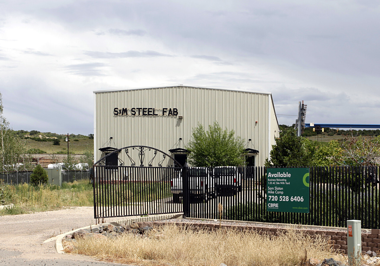
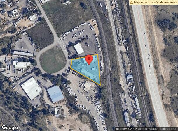
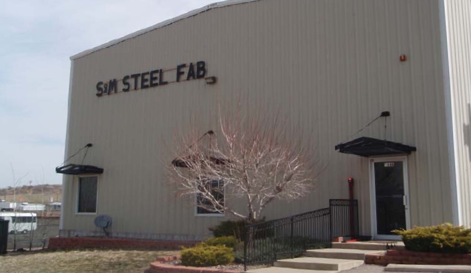
7166 Reynolds Dr, Sedalia, CO 80135
NEARBY LISTINGS FOR SALE OR LEASE
-
-
View all Sedalia listings for sale on LoopNet.com
Property Detail
7166 Reynolds Dr
Denver-Aurora-Lakewood, CO
Reynolds Industrial Park
2353-030-02-015
LOT 15 REYNOLDS INDUSTRIAL PARK 1.335 AM/L
Commercialnec
Douglas
X
Colorado
08035C0153G
15
2023
1.34 AC
2023
Southwest C-470
014135
Denver
9,869 SF
DEMOGRAPHICS near 7166 Reynolds Dr
1 Mile
3 Mile
5 Mile
2024 Total Population
43
718
50,992
2029 Population
48
814
57,696
Pop Growth 2024-2029
+ 11.63%
+ 13.37%
+ 13.15%
Average Age
41
42
39
2024 Total Households
14
245
16,584
HH Growth 2024-2029
+ 14.29%
+ 13.47%
+ 13.27%
Median Household Inc
$237,500
$188,461
$175,641
Avg Household Size
3.10
2.90
3.00
2024 Avg HH Vehicles
3.00
3.00
2.00
Median Home Value
$1,075,000
$1,052,174
$747,232
Median Year Built
2010
2005
2001
Nearby Places
- Restaurants
- Banks
- Shops
- Fitness
- Groceries
Nearby Properties
Address
Land Use
TOTAL SIZE
Lot Size
Zoning
Address
Land Use
TOTAL SIZE
Lot Size
Zoning
41,888 SF
154.73 AC
PDNU
Address
Land Use
TOTAL SIZE
Lot Size
Zoning
29,950 SF
4.53 AC
GI
Address
Land Use
TOTAL SIZE
Lot Size
Zoning
9,716 SF
5.02 AC
Address
Land Use
TOTAL SIZE
Lot Size
Zoning
2,338 SF
320 AC
A1
Address
Land Use
TOTAL SIZE
Lot Size
Zoning
5,000 SF
36.99 AC
PDU
Address
Land Use
TOTAL SIZE
Lot Size
Zoning
8,770 SF
40.75 AC
Address
Land Use
TOTAL SIZE
Lot Size
Zoning
30,357 SF
1.90 AC
GI
Address
Land Use
TOTAL SIZE
Lot Size
Zoning
22,595 SF
2.21 AC
GI
Address
Land Use
TOTAL SIZE
Lot Size
Zoning
31,428 SF
2.62 AC
GI
Address
Land Use
TOTAL SIZE
Lot Size
Zoning
20,732 SF
2.97 AC
GI
Address
Land Use
TOTAL SIZE
Lot Size
Zoning
20,000 SF
2.79 AC
GI
Address
Land Use
TOTAL SIZE
Lot Size
Zoning
29,949 SF
79.43 AC
GI
Address
Land Use
TOTAL SIZE
Lot Size
Zoning
14,380 SF
3.11 AC
Address
Land Use
TOTAL SIZE
Lot Size
Zoning
16,830 SF
17.95 AC
GI
Address
Land Use
TOTAL SIZE
Lot Size
Zoning
12,000 SF
3.98 AC
GI
Address
Land Use
TOTAL SIZE
Lot Size
Zoning
1 SF
35.31 AC
PDU
Address
Land Use
TOTAL SIZE
Lot Size
Zoning
4,250 SF
19.10 AC
GI
Address
Land Use
TOTAL SIZE
Lot Size
Zoning
9,633 SF
2.13 AC
GI
Address
Land Use
TOTAL SIZE
Lot Size
Zoning
9,600 SF
1.16 AC
GI
Address
Land Use
TOTAL SIZE
Lot Size
Zoning
12,300 SF
2.97 AC
GI
Address
Land Use
TOTAL SIZE
Lot Size
Zoning
23,014 SF
4.51 AC
RR
Address
Land Use
TOTAL SIZE
Lot Size
Zoning
8,536 SF
5.36 AC
GI
Address
Land Use
TOTAL SIZE
Lot Size
Zoning
8,820 SF
2.21 AC
GI
Address
Land Use
TOTAL SIZE
Lot Size
Zoning
8,611 SF
1.62 AC
GI
Address
Land Use
TOTAL SIZE
Lot Size
Zoning
10,480 SF
2.67 AC
GI
Address
Land Use
TOTAL SIZE
Lot Size
Zoning
19,375 SF
6.45 AC
GI
Address
Land Use
TOTAL SIZE
Lot Size
Zoning
8,400 SF
2.15 AC
GI
Address
Land Use
TOTAL SIZE
Lot Size
Zoning
5,865 SF
1.41 AC
B
Address
Land Use
TOTAL SIZE
Lot Size
Zoning
5,400 SF
2.21 AC
LI
The World's #1 Commercial Real Estate Marketplace
Connect with us
© 2025 CoStar Group
The information above has been obtained from sources believed reliable. While we do not doubt its accuracy we have not verified it and make no guarantee, warranty or representation about it. It is your responsibility to independently confirm its accuracy and completeness. Any projections, opinions, assumptions, or estimates used are for example only and do not represent the current or future performance of the property. The value of this transaction to you depends on tax and other factors which should be evaluated by your tax, financial, and legal advisors. You and your advisors should conduct a careful, independent investigation of the property to determine to your satisfaction the suitability of the property for your needs.