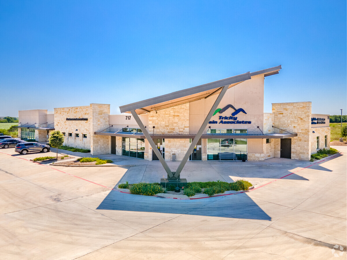
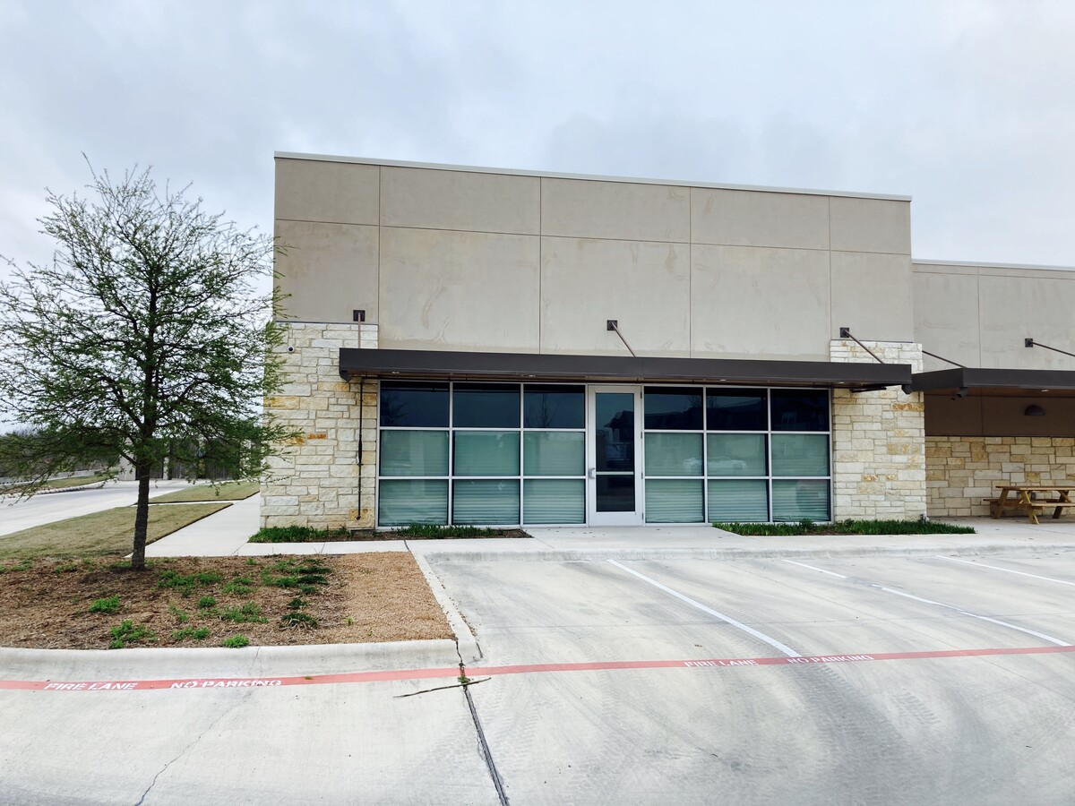
Property Record
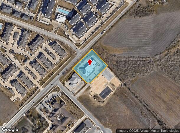
717 Generations Dr, New Braunfels, TX 78130

NEARBY LISTINGS FOR SALE OR LEASE
Property Detail
717 Generations Dr
San Antonio-New Braunfels, TX
Generations
20-0160-0008-00
GENERATIONS, LOT 10
Commercialnec
Comal
X
Texas
48091C0455G
10
2023
1.87 AC
2023
Comal County
310904
San Antonio
14,149 SF
DEMOGRAPHICS near 717 Generations Dr
1 Mile
3 Mile
5 Mile
2024 Total Population
6,227
39,643
85,089
2029 Population
8,735
54,450
112,820
Pop Growth 2024-2029
+ 40.28%
+ 37.35%
+ 32.59%
Average Age
35
37
38
2024 Total Households
2,471
15,431
32,725
HH Growth 2024-2029
+ 40.23%
+ 37.59%
+ 33.24%
Median Household Inc
$65,255
$81,611
$82,084
Avg Household Size
2.50
2.50
2.50
2024 Avg HH Vehicles
2.00
2.00
2.00
Median Home Value
$260,068
$255,105
$273,504
Median Year Built
2011
2010
2004
Nearby Places
- Restaurants
- Banks
- Shops
- Fitness
- Groceries
PUBLIC TRANSPORTATION
AIRPORT
San Antonio International
DRIVE
WALK
Distance
San Antonio International
38 min
30.4 mi
Freight Ports
Calhoun Port
DRIVE
WALK
Distance
Calhoun Port
170 min
145.0 mi
SALE & LEASE HISTORY
LISTING DATE
SALE/LEASE

Mar 23, 2021
For Lease
Mar 04, 2019
For Sale
Jul 14, 2020
For Sale
Jan 04, 2018
For Lease
Nearby Properties
Address
Land Use
TOTAL SIZE
Lot Size
Zoning
Address
Land Use
TOTAL SIZE
Lot Size
Zoning
396,438 SF
55.62 AC
Address
Land Use
TOTAL SIZE
Lot Size
Zoning
203,147 SF
816 AC
Address
Land Use
TOTAL SIZE
Lot Size
Zoning
458,447 SF
19 AC
Address
Land Use
TOTAL SIZE
Lot Size
Zoning
314,265 SF
10.10 AC
Address
Land Use
TOTAL SIZE
Lot Size
Zoning
304,441 SF
17.46 AC
Address
Land Use
TOTAL SIZE
Lot Size
Zoning
319,423 SF
14.59 AC
Address
Land Use
TOTAL SIZE
Lot Size
Zoning
Address
Land Use
TOTAL SIZE
Lot Size
Zoning
269,288 SF
16.32 AC
Address
Land Use
TOTAL SIZE
Lot Size
Zoning
48,548 SF
125 AC
Address
Land Use
TOTAL SIZE
Lot Size
Zoning
261,155 SF
11.57 AC
Address
Land Use
TOTAL SIZE
Lot Size
Zoning
Address
Land Use
TOTAL SIZE
Lot Size
Zoning
248,377 SF
23.66 AC
Address
Land Use
TOTAL SIZE
Lot Size
Zoning
49,770 SF
15.14 AC
Address
Land Use
TOTAL SIZE
Lot Size
Zoning
41,250 SF
82.50 AC
Address
Land Use
TOTAL SIZE
Lot Size
Zoning
146,400 SF
19.03 AC
Address
Land Use
TOTAL SIZE
Lot Size
Zoning
266,325 SF
4.34 AC
Address
Land Use
TOTAL SIZE
Lot Size
Zoning
352,688 SF
23.58 AC
Address
Land Use
TOTAL SIZE
Lot Size
Zoning
186,838 SF
14.53 AC
Address
Land Use
TOTAL SIZE
Lot Size
Zoning
179,869 SF
10 AC
Address
Land Use
TOTAL SIZE
Lot Size
Zoning
165,768 SF
15.39 AC
Address
Land Use
TOTAL SIZE
Lot Size
Zoning
161,476 SF
29.14 AC
Address
Land Use
TOTAL SIZE
Lot Size
Zoning
254,483 SF
4.10 AC
Address
Land Use
TOTAL SIZE
Lot Size
Zoning
138,473 SF
10.35 AC
Address
Land Use
TOTAL SIZE
Lot Size
Zoning
257,960 SF
8.85 AC
Address
Land Use
TOTAL SIZE
Lot Size
Zoning
96,092 SF
52.22 AC
Address
Land Use
TOTAL SIZE
Lot Size
Zoning
122,344 SF
6.03 AC
Address
Land Use
TOTAL SIZE
Lot Size
Zoning
76,180 SF
5.74 AC
Address
Land Use
TOTAL SIZE
Lot Size
Zoning
3,937 SF
87.21 AC
Address
Land Use
TOTAL SIZE
Lot Size
Zoning
201,364 SF
5.06 AC
Address
Land Use
TOTAL SIZE
Lot Size
Zoning
33,365 SF
13.90 AC
The World's #1 Commercial Real Estate Marketplace
Connect with us
© 2025 CoStar Group
The information above has been obtained from sources believed reliable. While we do not doubt its accuracy we have not verified it and make no guarantee, warranty or representation about it. It is your responsibility to independently confirm its accuracy and completeness. Any projections, opinions, assumptions, or estimates used are for example only and do not represent the current or future performance of the property. The value of this transaction to you depends on tax and other factors which should be evaluated by your tax, financial, and legal advisors. You and your advisors should conduct a careful, independent investigation of the property to determine to your satisfaction the suitability of the property for your needs.