Property Record
718-730 New Hampshire St, Lawrence, KS 66044
Current Lease Availabilities
NEARBY LISTINGS FOR SALE OR LEASE
Property Detail
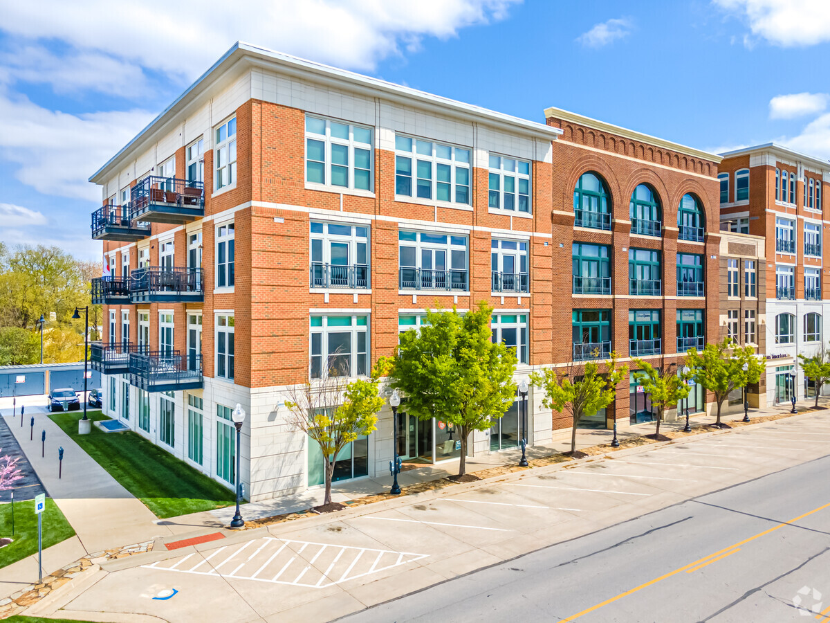
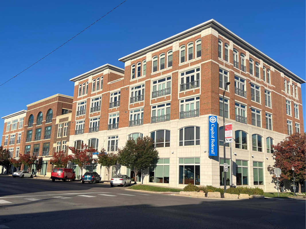
718-730 New Hampshire St
Kansas City
Hobbs Taylor Lofts
Lawrence, KS
Douglas
023-079-31-0-20-02-003.00-0
Kansas
Residentialcommonelementscondominiumcorporation
0.45 AC
X
East Lawrence
20045C0176E
DEMOGRAPHICS near 718-730 New Hampshire St
1 Mile
3 Mile
5 Mile
2024 Total Population
14,774
64,477
97,375
2029 Population
15,122
65,850
99,397
Pop Growth 2024-2029
+ 2.36%
+ 2.13%
+ 2.08%
Average Age
32
34
36
2024 Total Households
6,089
26,455
40,736
HH Growth 2024-2029
+ 2.63%
+ 2.34%
+ 2.25%
Median Household Inc
$35,875
$50,965
$54,675
Avg Household Size
2.00
2.10
2.20
2024 Avg HH Vehicles
2.00
2.00
2.00
Median Home Value
$215,812
$198,472
$235,347
Median Year Built
1965
1976
1987
Nearby Places
- Restaurants
- Banks
- Shops
- Fitness
- Groceries
PUBLIC TRANSPORTATION
COMMUTER RAIL
Lawrence Amtrak Station (Southwest Chief - Amtrak)
Drive
Walk
Distance
Lawrence Amtrak Station (Southwest Chief - Amtrak)
1 min
6 min
0.3 mi
Freight Ports
Tulsa Port Of Catoosa
Drive
Walk
Distance
Tulsa Port Of Catoosa
258 min
213.8 mi
Nearby Properties
Address
Land Use
TOTAL SIZE
Lot Size
Zoning
Address
Land Use
TOTAL SIZE
Lot Size
Zoning
1709524
32.03 AC
RD
Address
Land Use
TOTAL SIZE
Lot Size
Zoning
1258819
106.65 AC
RD
Address
Land Use
TOTAL SIZE
Lot Size
Zoning
1264810
129.10 AC
RD
Address
Land Use
TOTAL SIZE
Lot Size
Zoning
63837
20.79 AC
H
Address
Land Use
TOTAL SIZE
Lot Size
Zoning
632738
292.10 AC
RS2
Address
Land Use
TOTAL SIZE
Lot Size
Zoning
112168
38.08 AC
RD
Address
Land Use
TOTAL SIZE
Lot Size
Zoning
335349
3.17 AC
RD
Address
Land Use
TOTAL SIZE
Lot Size
Zoning
200960
9.20 AC
RD
Address
Land Use
TOTAL SIZE
Lot Size
Zoning
249773
34.84 AC
RS2
Address
Land Use
TOTAL SIZE
Lot Size
Zoning
336701
5.20 AC
RD
Address
Land Use
TOTAL SIZE
Lot Size
Zoning
112500
3.90 AC
RM1
Address
Land Use
TOTAL SIZE
Lot Size
Zoning
47457
2.58 AC
Address
Land Use
TOTAL SIZE
Lot Size
Zoning
162086
3 AC
RD
Address
Land Use
TOTAL SIZE
Lot Size
Zoning
220557
8.90 AC
RD
Address
Land Use
TOTAL SIZE
Lot Size
Zoning
92295
10.40 AC
RS1
Address
Land Use
TOTAL SIZE
Lot Size
Zoning
67500
4.03 AC
RM1
Address
Land Use
TOTAL SIZE
Lot Size
Zoning
181346
21.40 AC
497
Address
Land Use
TOTAL SIZE
Lot Size
Zoning
186889
3.60 AC
RD
Address
Land Use
TOTAL SIZE
Lot Size
Zoning
143467
2.80 AC
RM1
Address
Land Use
TOTAL SIZE
Lot Size
Zoning
125214
20 AC
RS1
Address
Land Use
TOTAL SIZE
Lot Size
Zoning
104785
105.60 AC
RS1
Address
Land Use
TOTAL SIZE
Lot Size
Zoning
78051
37.20 AC
RS2
Address
Land Use
TOTAL SIZE
Lot Size
Zoning
5984
142.30 AC
M2
Address
Land Use
TOTAL SIZE
Lot Size
Zoning
92819
3.10 AC
RO2
Address
Land Use
TOTAL SIZE
Lot Size
Zoning
52000
36 AC
RS1
Address
Land Use
TOTAL SIZE
Lot Size
Zoning
19985
103.37 AC
RS1
Address
Land Use
TOTAL SIZE
Lot Size
Zoning
337280
0.60 AC
RD
Address
Land Use
TOTAL SIZE
Lot Size
Zoning
52028
11.07 AC
Address
Land Use
TOTAL SIZE
Lot Size
Zoning
31750
0.73 AC
Address
Land Use
TOTAL SIZE
Lot Size
Zoning
34479
1.08 AC
C4
Start a new search to find other properties for sale or lease
Connect with us
© 2024 CoStar Group
The information above has been obtained from sources believed reliable. While we do not doubt its accuracy we have not verified it and make no guarantee, warranty or representation about it. It is your responsibility to independently confirm its accuracy and completeness. Any projections, opinions, assumptions, or estimates used are for example only and do not represent the current or future performance of the property. The value of this transaction to you depends on tax and other factors which should be evaluated by your tax, financial, and legal advisors. You and your advisors should conduct a careful, independent investigation of the property to determine to your satisfaction the suitability of the property for your needs.